Grimthorpe Wood

Wood, Forest in Yorkshire

England

Grimthorpe Wood

A bus shelter at Meltonby
A bus shelter at Meltonby Credit: Ian S

Grimthorpe Wood is a beautiful forest located in Yorkshire, England. Covering an area of approximately 100 acres, the wood is home to a variety of flora and fauna, making it a popular destination for nature lovers and wildlife enthusiasts.

The woodland is predominantly made up of native tree species such as oak, beech, and birch, creating a diverse and rich ecosystem. Visitors to Grimthorpe Wood can enjoy peaceful walks along well-maintained trails, taking in the sights and sounds of nature all around them.

Throughout the year, the wood undergoes seasonal changes, with vibrant displays of wildflowers in the spring and colorful foliage in the autumn. Wildlife such as deer, squirrels, and a variety of bird species can be spotted among the trees, adding to the enchanting atmosphere of the forest.

Grimthorpe Wood also offers opportunities for outdoor activities such as birdwatching, photography, and picnicking, making it a great place for families and individuals to spend a day enjoying the natural beauty of the Yorkshire countryside.

If you have any feedback on the listing, please let us know in the comments section below.

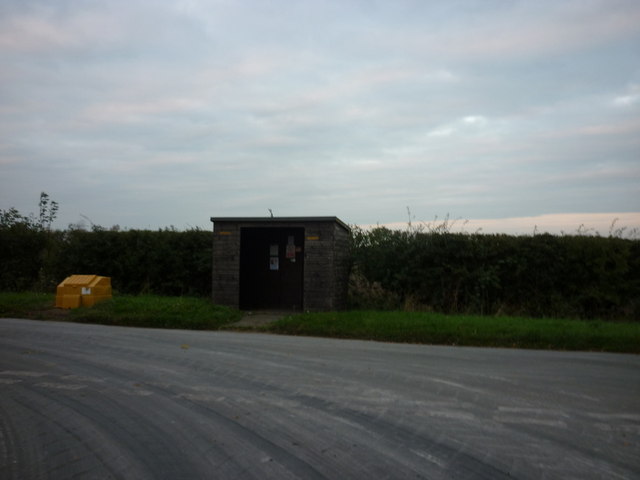
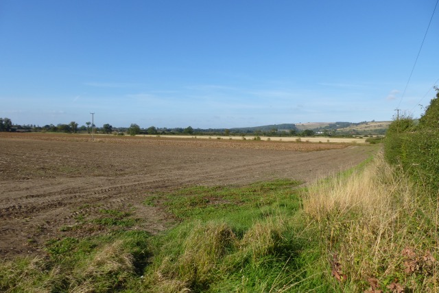
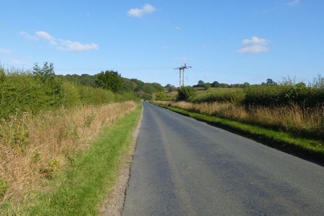
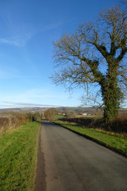
Grimthorpe Wood Images

Images are sourced within 2km of 53.960819/-0.76504261 or Grid Reference SE8152. Thanks to Geograph Open Source API. All images are credited.

A bus shelter at Meltonby
Farmland near Meltonby Similar view to <a href="https://www.geograph.org.uk/photo/211255">SE7952 : Looking towards Bishop Wilton</a> 7 years on.
Farmland near Meltonby
Similar view to SE7952 : Looking towards Bishop Wilton 7 years on.
Road to Bishop Wilton Looking towards the overhead cables crossing the road.
Road to Bishop Wilton
Looking towards the overhead cables crossing the road.
Meltonby Lane Looking down to the village of Meltonby on the road from Yapham.
Meltonby Lane
Looking down to the village of Meltonby on the road from Yapham.
Footpath at Meltonby Cuts across this field of oilseed rape. The path has not been maintained. The choice is either round the edge of the field or along the road. Distance-wise there is nothing in it. In terms of effort the road is the easier option.
Footpath at Meltonby
Cuts across this field of oilseed rape. The path has not been maintained. The choice is either round the edge of the field or along the road. Distance-wise there is nothing in it. In terms of effort the road is the easier option.
Footpath to Meltonby The route is clear through this field.
Footpath to Meltonby
The route is clear through this field.
Along Meltonby Lane Looking towards the sharp corner between Yapham and Meltonby.
Along Meltonby Lane
Looking towards the sharp corner between Yapham and Meltonby.
Farmland beside Meltonby Lane Looking across farmland between Meltonby and Yapham.
Farmland beside Meltonby Lane
Looking across farmland between Meltonby and Yapham.
Road to Meltonby Looking along Meltonby Lane between Yapham and Meltonby.
Road to Meltonby
Looking along Meltonby Lane between Yapham and Meltonby.
Track off Meltonby Lane Looking into fields from a corner on Meltonby Lane.
Track off Meltonby Lane
Looking into fields from a corner on Meltonby Lane.
Meltonby Lane near High Garth Looking south-eastward.
Meltonby Lane near High Garth
Looking south-eastward.
Meltonby Lane entering Meltonby Looking north-eastward.
Meltonby Lane entering Meltonby
Looking north-eastward.
Meltonby Lane The junction of Meltonby Lane and Pocklington Lane with the un-named road leading right into the hamlet itself. Worsendale above Bishop Wilton is on the horizon.
Meltonby Lane
The junction of Meltonby Lane and Pocklington Lane with the un-named road leading right into the hamlet itself. Worsendale above Bishop Wilton is on the horizon.
Fairview Farm, Meltonby I was staying in the former farmhouse (now offering high quality bed and breakfast).
Fairview Farm, Meltonby
I was staying in the former farmhouse (now offering high quality bed and breakfast).
Sharp bend on Meltonby Lane
Footpath from Meltonby Lane towards Yapham
Meltonby Lane
Meltonby Lane
Fields near Yapham
Fields near Yapham
Show me another place!

Grimthorpe Wood is located at Grid Ref: SE8152 (Lat: 53.960819, Lng: -0.76504261)

Division: East Riding

Unitary Authority: East Riding of Yorkshire

Police Authority: Humberside

What 3 Words

///lingering.mega.tummy. Near Millington, East Yorkshire

Nearby Locations

Grimthorpe Wood The Park

Related Wikis

Ousethorpe

Ousethorpe is a small hamlet in the East Riding of Yorkshire, England. It is situated approximately 1.5 miles (2.4 km) north of Pocklington. It forms part...

Great Givendale

Great Givendale is a hamlet in the East Riding of Yorkshire, England. It is situated approximately 3 miles (5 km) north of Pocklington. Great Givendale...

Beckhead Plantation

Beckhead Plantation is a Site of Special Scientific Interest (SSSI) and nature reserve in the East Riding of Yorkshire, England. It is located close to...
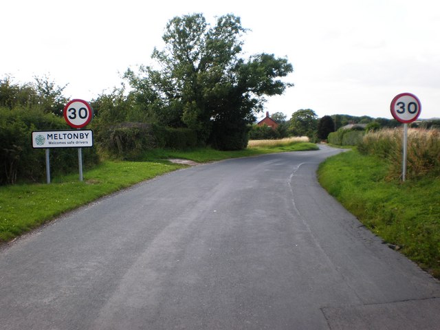
Meltonby

Meltonby is a hamlet in the civil parish of Yapham, in the East Riding of Yorkshire, England. It is situated approximately 2 miles (3.2 km) north of Pocklington...

Nearby Amenities

Located within 500m of 53.960819,-0.76504261
Power: pole
Lat/Long: 53.9575218/-0.7663072
Power: pole
Lat/Long: 53.9590683/-0.7702715
Power: pole
Lat/Long: 53.9581588/-0.7679401
Barrier: stile
Step Count: 1
Stile: stepover
Lat/Long: 53.9645075/-0.7658955
Barrier: stile
Step Count: 2
Stile: stepover
Lat/Long: 53.9573259/-0.763815
Information: route_marker
Tourism: information
Lat/Long: 53.9641/-0.765608
The data included in this document is from www.openstreetmap.org. The data is made available under ODbL.

Have you been to Grimthorpe Wood?

Leave your review of Grimthorpe Wood below (or comments, questions and feedback).