Opendale Plantation

Wood, Forest in Yorkshire Ryedale

England

Opendale Plantation

Gatehowe Road approaching the summit Looking along the road from Howe Hill to Hanging Grimston.
Gatehowe Road approaching the summit Credit: DS Pugh

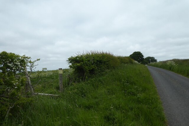
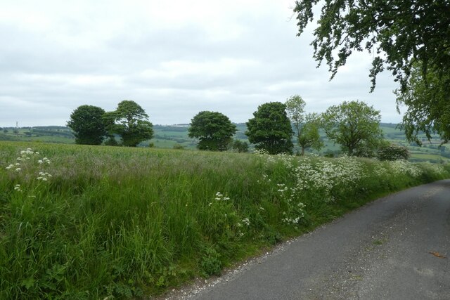
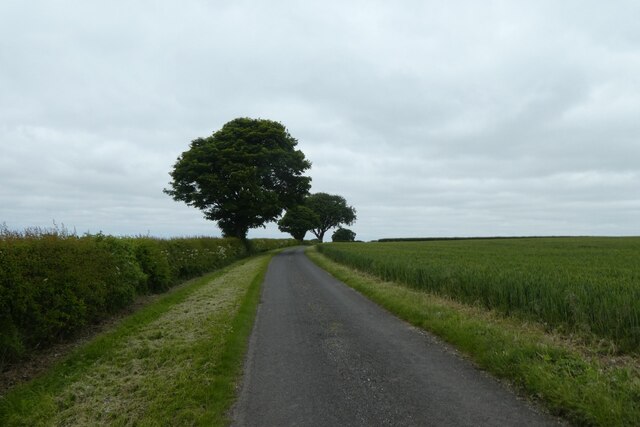
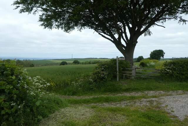
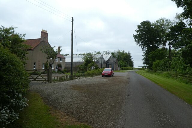
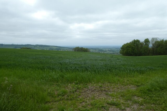
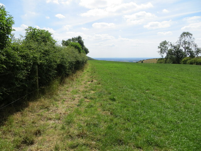
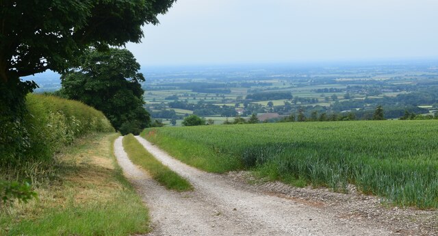
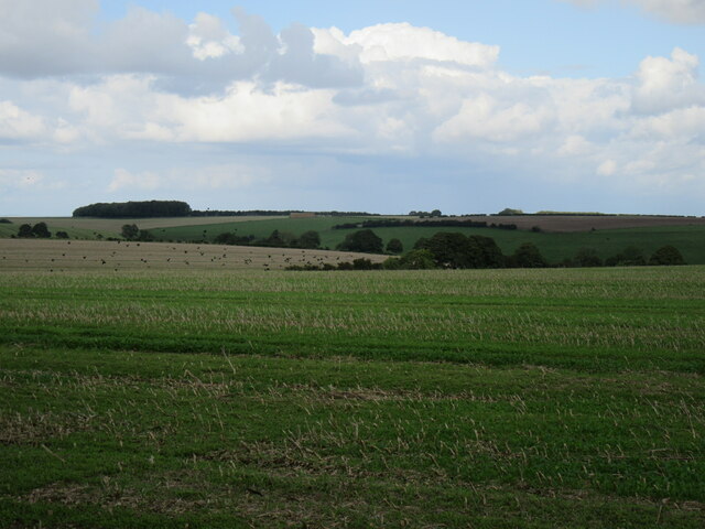
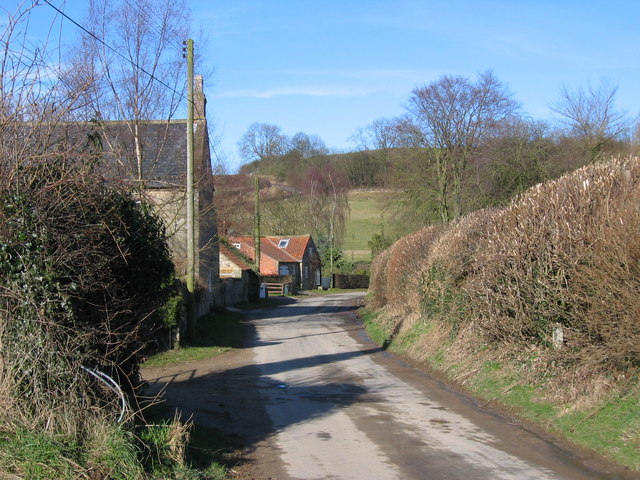
Opendale Plantation, located in the picturesque region of Yorkshire, is a sprawling woodland area known for its natural beauty and diverse flora and fauna. Covering an expansive area, the plantation is situated in the heart of a dense forest, offering visitors a tranquil escape from the hustle and bustle of city life.

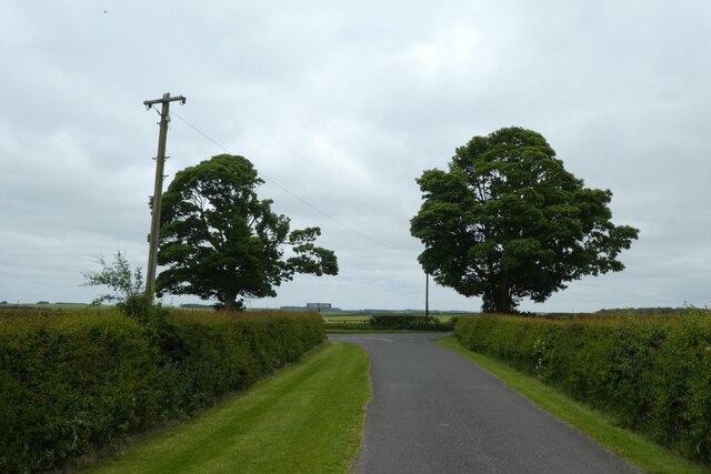
The woodland of Opendale Plantation is predominantly composed of various species of trees, including oak, birch, and beech, which create a lush, green canopy overhead. The forest floor is adorned with a carpet of wildflowers, adding a splash of color to the landscape during the spring and summer months.

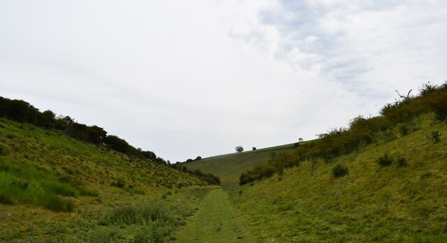
The plantation is a haven for wildlife enthusiasts, as it provides a habitat for a wide range of animal species. Visitors may spot native creatures such as deer, foxes, and squirrels as they explore the trails and pathways that wind through the woodland. Birdwatchers will delight in the abundance of avian species that call Opendale Plantation home, including woodpeckers, owls, and various songbirds.

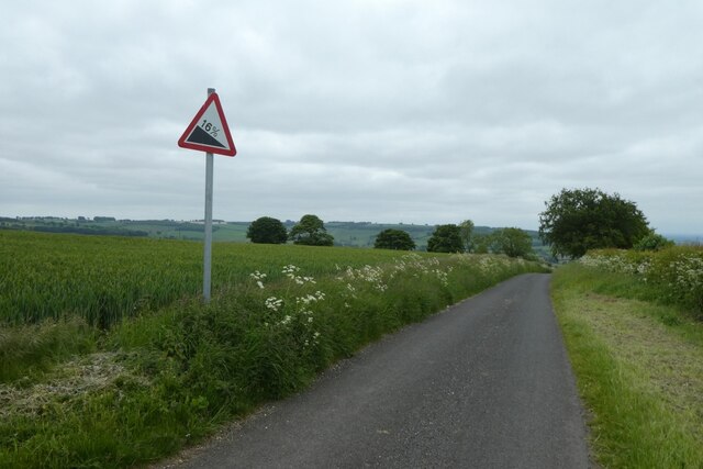
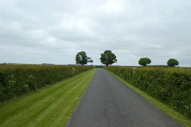
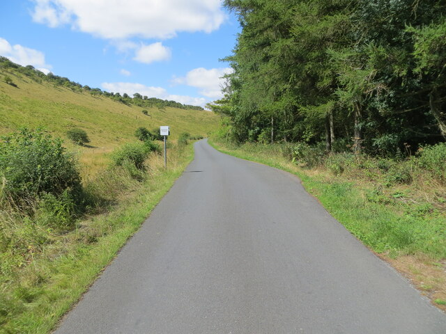
For those seeking outdoor recreational activities, Opendale Plantation offers several well-maintained trails suitable for hiking and cycling. These trails meander through the woodland, allowing visitors to immerse themselves in the natural surroundings while enjoying the fresh air and exercise.

Overall, Opendale Plantation is a haven of tranquility and natural beauty, providing visitors with a chance to connect with nature and explore the wonders of Yorkshire's woodlands.

If you have any feedback on the listing, please let us know in the comments section below.

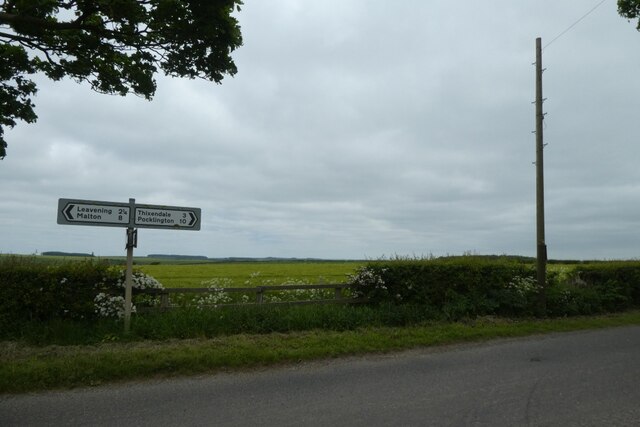
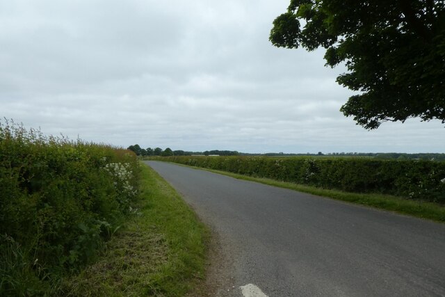
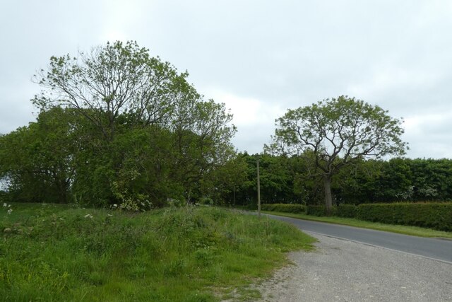
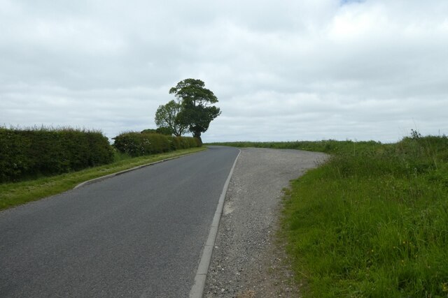
Opendale Plantation Images

Images are sourced within 2km of 54.035195/-0.77352801 or Grid Reference SE8060. Thanks to Geograph Open Source API. All images are credited.

Gatehowe Road approaching the summit Looking along the road from Howe Hill to Hanging Grimston.
Gatehowe Road approaching the summit
Looking along the road from Howe Hill to Hanging Grimston.
Fields beside Gatehowe Road Looking down the road from Hanging Grimston.
Fields beside Gatehowe Road
Looking down the road from Hanging Grimston.
Road near Hanging Grimston Looking along Gatehowe Road. A path heads towards Acklam from the corner.
Road near Hanging Grimston
Looking along Gatehowe Road. A path heads towards Acklam from the corner.
Descent sign on Gatehowe Road Looking down the road from Hanging Grimston to Howe Hill.
Descent sign on Gatehowe Road
Looking down the road from Hanging Grimston to Howe Hill.
Footpath from Gatehowe Road A footpath heads across to Acklam. The radio transmitter at Acklam Wold is visible on the left.
Footpath from Gatehowe Road
A footpath heads across to Acklam. The radio transmitter at Acklam Wold is visible on the left.
Wold Farm Looking along Gatehowe Road in Hanging Grimston.
Wold Farm
Looking along Gatehowe Road in Hanging Grimston.
Gatehowe Road at Hanging Grimston Looking towards the junction with the Roman Road.
Gatehowe Road at Hanging Grimston
Looking towards the junction with the Roman Road.
Junction of Gatehowe Road Looking along Gatehowe Road towards the Roman Road.
Junction of Gatehowe Road
Looking along Gatehowe Road towards the Roman Road.
Sign post and telegraph pole Looking across the junction with Gatehowe Road.
Sign post and telegraph pole
Looking across the junction with Gatehowe Road.
Roman road towards Acklam Looking along the road from the junction with Gatehowe Road.
Roman road towards Acklam
Looking along the road from the junction with Gatehowe Road.
Road to Uncleby Wold Looking along the road on top of the Wolds. The telegraph pole ahead is marked GPO 24L 52 indicating it was owned by the GPO (now BT), is 24 feet in length and a 'light' post, and the pole was produced in 1952.
Road to Uncleby Wold
Looking along the road on top of the Wolds. The telegraph pole ahead is marked GPO 24L 52 indicating it was owned by the GPO (now BT), is 24 feet in length and a 'light' post, and the pole was produced in 1952.
Road towards Hanging Grimston Looking along the Roman Road on top of the Wolds towards Hanging Grimston.
Road towards Hanging Grimston
Looking along the Roman Road on top of the Wolds towards Hanging Grimston.
Field above Harpers Barn Plantation Looking across an arable field above Washpit Dale.
Field above Harpers Barn Plantation
Looking across an arable field above Washpit Dale.
Minor road with passing place at Dimple Hole Looking westward.
Minor road with passing place at Dimple Hole
Looking westward.
Field edge footpath on Hanging Grimston Wold Looking south-westward.
Field edge footpath on Hanging Grimston Wold
Looking south-westward.
The Chalkland Way in Milham Dale Close to Thixendale Grange.
The Chalkland Way in Milham Dale
Close to Thixendale Grange.
Lane above the Vale of York. On the edge of the Wolds.
Lane above the Vale of York.
On the edge of the Wolds.
Hanging Grimston Wold Looking NE from the road.
Hanging Grimston Wold
Looking NE from the road.
Show me another place!

Opendale Plantation is located at Grid Ref: SE8060 (Lat: 54.035195, Lng: -0.77352801)

Division: East Riding

Administrative County: North Yorkshire

District: Ryedale

Police Authority: North Yorkshire

What 3 Words

///took.evoke.earmarked. Near Kirby Underdale, East Yorkshire

Related Wikis

Minster FM

Minster FM was an Independent Local Radio station serving York and the surrounding areas such as Selby, Tadcaster, Thirsk, Northallerton and Goole. The...

Uncleby

Uncleby is a hamlet in the East Riding of Yorkshire, England. It forms part of the civil parish of Kirby Underdale. It is situated approximately 6.5 miles...

Kirby Underdale

Kirby Underdale is a village and civil parish in the East Riding of Yorkshire, England. It is situated approximately six miles (ten kilometres) north...

Buckrose

Buckrose was a wapentake of the historic East Riding of Yorkshire, England consisting of the north-west part of the county; its territory is now partly...

Acklam, Ryedale

Acklam is a small village and civil parish in North Yorkshire, England. It is situated approximately 12 miles (20 km) north-east of York city centre and...

Painsthorpe Abbey

Painsthorpe Abbey was a short-lived monastery of the Anglican Order of St. Benedict. It was established in 1902 at Painsthorpe in the East Riding of Yorkshire...

Painsthorpe

Painsthorpe is a hamlet in the East Riding of Yorkshire, England. It is located about 1 mile (1.6 km) east of the village of Kirby Underdale, the area...

Leavening, North Yorkshire

Leavening is a village and civil parish in the Ryedale district of North Yorkshire, England. The village is situated approximately 13 miles (20 km) north...

Nearby Amenities

Located within 500m of 54.035195,-0.77352801
Natural: spring
Lat/Long: 54.0348779/-0.7730563
Natural: spring
Lat/Long: 54.0349442/-0.7729951
Barrier: stile
Step Count: 2
Stile: stepover
Lat/Long: 54.0376354/-0.779347
Information: guidepost
Tourism: information
Lat/Long: 54.0375606/-0.7793831
Material: wood
Power: pole
Lat/Long: 54.0328375/-0.779605
Material: wood
Power: pole
Lat/Long: 54.0336258/-0.7790797
Material: wood
Power: pole
Lat/Long: 54.0344528/-0.7785284
Material: wood
Power: pole
Lat/Long: 54.0352238/-0.7779905
Material: wood
Power: pole
Lat/Long: 54.0360963/-0.7774391
Material: wood
Power: pole
Lat/Long: 54.0369434/-0.7768684
Material: wood
Power: pole
Transformer: distribution
Lat/Long: 54.0377843/-0.7762965
Material: wood
Power: pole
Lat/Long: 54.0384975/-0.7758321
Material: wood
Power: pole
Lat/Long: 54.0390004/-0.7754922
The data included in this document is from www.openstreetmap.org. The data is made available under ODbL.

Have you been to Opendale Plantation?

Leave your review of Opendale Plantation below (or comments, questions and feedback).