Hollywater Clump
Wood, Forest in Hampshire East Hampshire
England
Hollywater Clump

Hollywater Clump is a picturesque woodland located in Hampshire, England. Situated near the village of Hollywater, the clump is a popular destination for nature enthusiasts and walkers alike. Covering an area of approximately 50 hectares, this ancient forest is known for its diverse range of flora and fauna.
The woodland is dominated by a mix of deciduous and coniferous trees, including oak, beech, and pine. These towering trees create a dense canopy, casting dappled sunlight on the forest floor and providing a habitat for a wide variety of wildlife. Visitors to Hollywater Clump may spot deer, foxes, badgers, and a multitude of bird species, including woodpeckers and owls.
Trails wind their way through the clump, offering visitors the opportunity to explore the woodland and discover its hidden treasures. Along these paths, one can find clearings with wildflowers, babbling brooks, and peaceful ponds. The tranquil atmosphere of the forest makes it a perfect spot for relaxation and contemplation.
Hollywater Clump is also steeped in history, with evidence of human presence dating back to ancient times. The woodland has been used for timber production, charcoal making, and even as a hiding place for smugglers in the past. Today, the clump is managed by the local authorities to preserve its natural beauty and protect its ecological importance.
Overall, Hollywater Clump is a captivating woodland that offers a tranquil escape from the hustle and bustle of everyday life. Its rich biodiversity, scenic trails, and historical significance make it a must-visit destination for nature lovers and those seeking a peaceful retreat in the heart of Hampshire.
If you have any feedback on the listing, please let us know in the comments section below.
Hollywater Clump Images
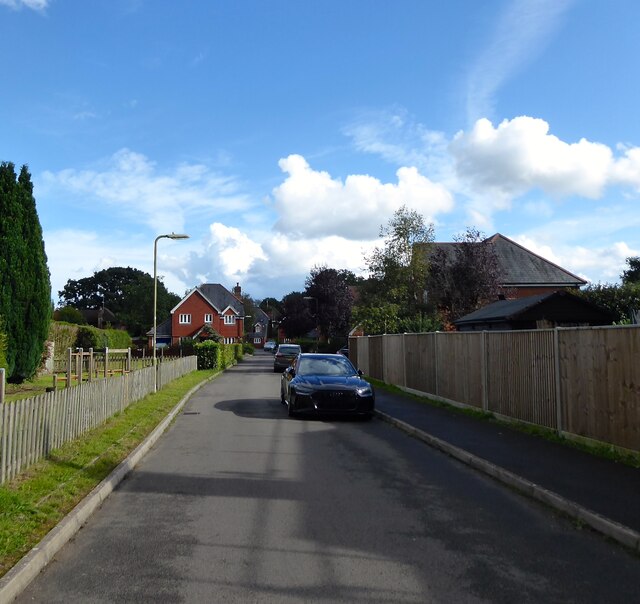
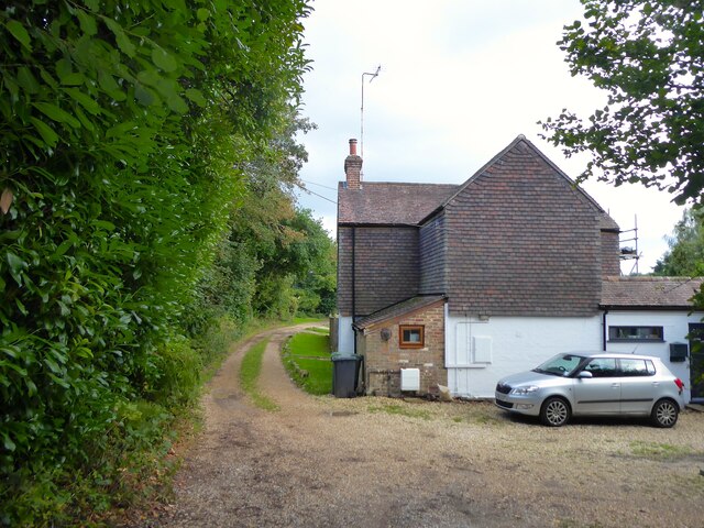
Images are sourced within 2km of 51.095421/-0.85287182 or Grid Reference SU8033. Thanks to Geograph Open Source API. All images are credited.


Hollywater Clump is located at Grid Ref: SU8033 (Lat: 51.095421, Lng: -0.85287182)
Administrative County: Hampshire
District: East Hampshire
Police Authority: Hampshire
What 3 Words
///roving.unloaded.rally. Near Bordon, Hampshire
Nearby Locations
Related Wikis

Hollywater
Hollywater is a small village in Hampshire, England. It lies two miles east to its nearest town, Bordon. The village is a crossing point to Whitehill to...
Whitehill Junction railway station
Whitehill Junction railway station is a former railway station, on the Longmoor Military Railway, which was closed along with the rest of the line in 1969...

Deadwater Valley
Deadwater Valley is a 35.9-hectare (89-acre) Local Nature Reserve in Bordon in Hampshire. It is owned by East Hampshire District Council and managed by...
Whitehill, Hampshire
Whitehill is a village and civil parish in the East Hampshire district of Hampshire, England, on the historic highway (now the A325) between Petersfield...
Standford
Standford is a village in the East Hampshire district of Hampshire, England. It is 1.3 miles (2.1 km) east of Bordon, on the B3004 road. It is in the civil...
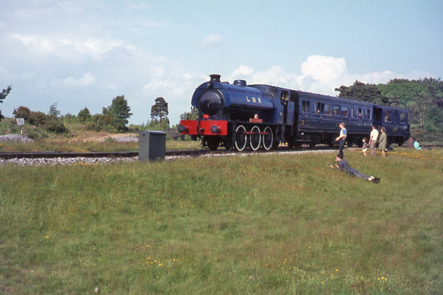
Longmoor Military Railway
The Longmoor Military Railway (LMR) was a British military railway in Hampshire that was built by the Royal Engineers from 1903 to train soldiers on railway...

Woolmer Forest
Woolmer Forest is a 1,298.5-hectare (3,209-acre) biological Site of Special Scientific Interest south of Bordon in Hampshire and West Sussex. It is also...
Deadwater, Hampshire
Deadwater is a small village in the East Hampshire district of Hampshire, England. It is 1.3 miles (2.1 km) east of Bordon, its nearest town. It also borders...
Nearby Amenities
Located within 500m of 51.095421,-0.85287182Have you been to Hollywater Clump?
Leave your review of Hollywater Clump below (or comments, questions and feedback).