Mawsley Furze
Wood, Forest in Northamptonshire
England
Mawsley Furze

Mawsley Furze is a small village located in the county of Northamptonshire, England. Situated in the heart of the Wood area, it is known for its picturesque landscapes and abundant forest cover. The village is surrounded by lush greenery, with dense woodlands and sprawling meadows that provide a serene and tranquil environment.
This rural community is home to a population of approximately 1,000 residents, who enjoy the peace and quiet offered by the natural surroundings. Mawsley Furze is characterized by its traditional English architecture, with charming cottages and houses that add to its quaint appeal.
The village is well-connected to neighboring towns and cities, with easy access to major transport links. The nearby town of Kettering is just a short drive away and offers a range of amenities including shops, schools, and healthcare facilities. The village itself has a primary school, providing education for local children.
The surrounding forest in Mawsley Furze attracts nature enthusiasts and outdoor lovers. The woodlands are home to a diverse range of wildlife, making it a popular spot for birdwatching and nature walks. There are also several walking and cycling trails that allow residents and visitors to explore the area's natural beauty.
Overall, Mawsley Furze offers a peaceful countryside retreat, with its beautiful woodlands and close-knit community. It is a place where residents can enjoy the tranquility of rural living while still having easy access to essential amenities.
If you have any feedback on the listing, please let us know in the comments section below.
Mawsley Furze Images
Images are sourced within 2km of 52.389666/-0.81981353 or Grid Reference SP8077. Thanks to Geograph Open Source API. All images are credited.


Mawsley Furze is located at Grid Ref: SP8077 (Lat: 52.389666, Lng: -0.81981353)
Unitary Authority: North Northamptonshire
Police Authority: Northamptonshire
What 3 Words
///headstone.swooning.embodied. Near Rothwell, Northamptonshire
Nearby Locations
Related Wikis
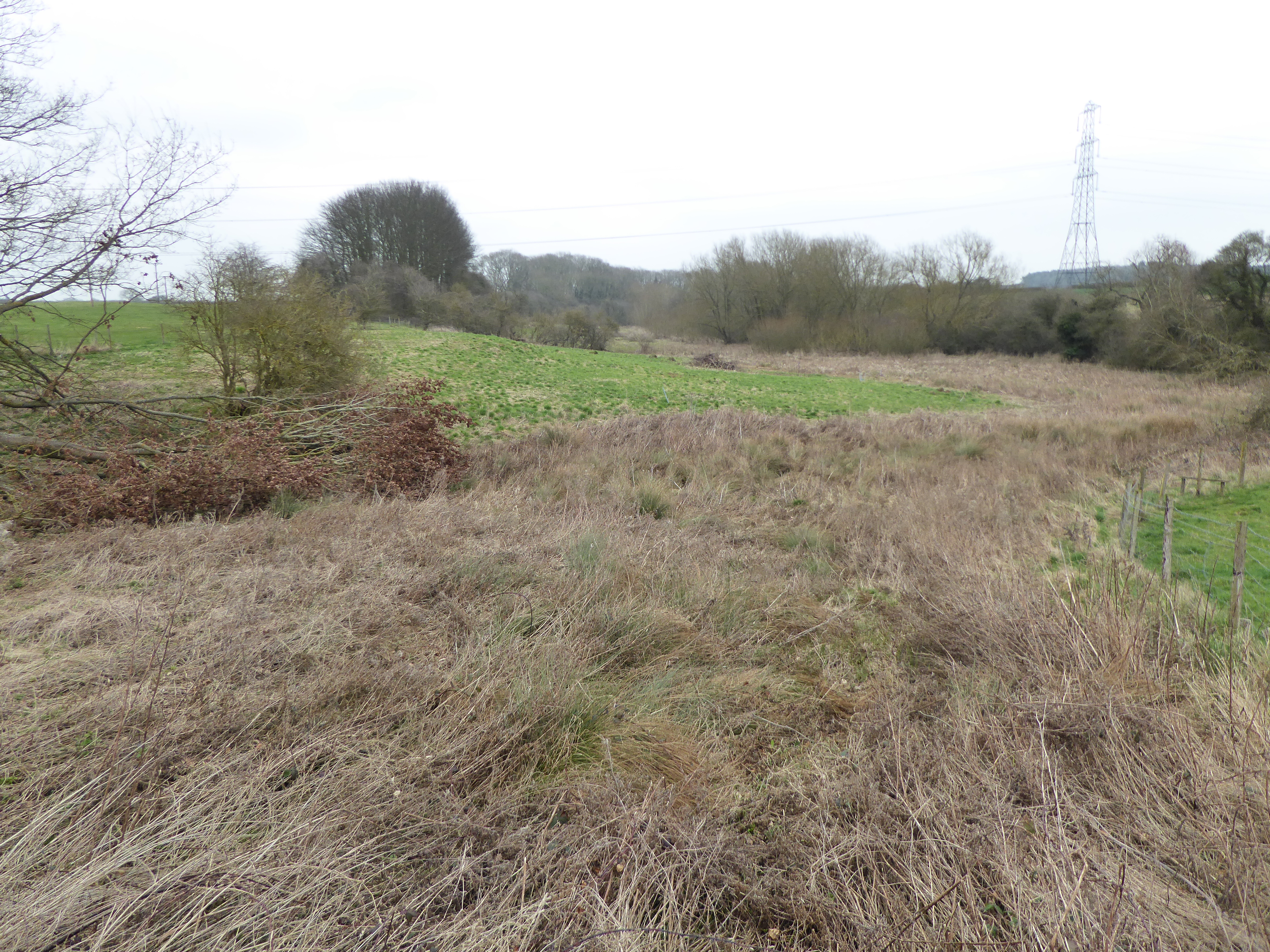
Birch Spinney and Mawsley Marsh
Birch Spinney and Mawsley Marsh is a 12.3-hectare (30-acre) biological Site of Special Scientific Interest north-west of Broughton in Northamptonshire...
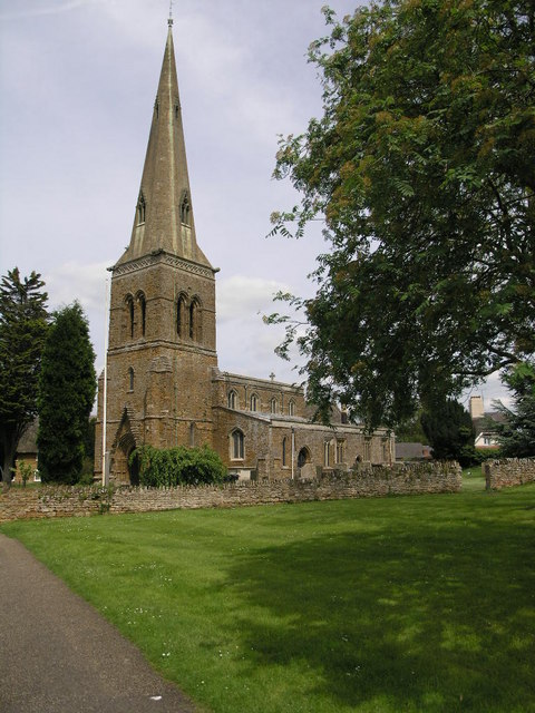
Loddington, Northamptonshire
Loddington is a village and civil parish about 3 miles (5 km) west of Kettering, Northamptonshire, England. The 2001 Census recorded a parish population...

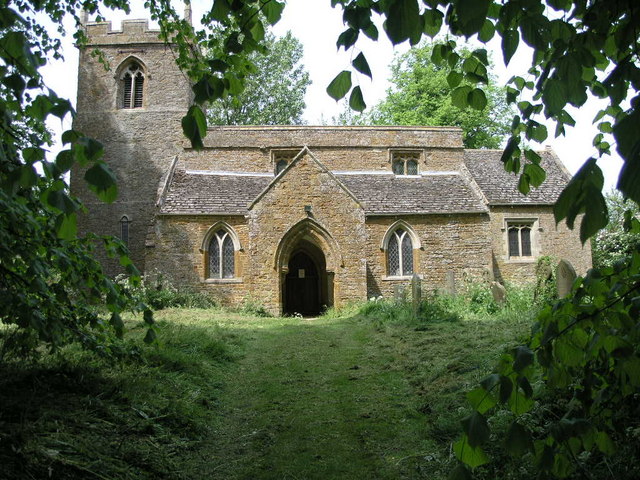
Thorpe Malsor
Thorpe Malsor is a village and civil parish 2 miles (3 km) west of Kettering, Northamptonshire, England. The population at the 2011 Census was 145. �...
Mawsley
Mawsley is a newly built village and civil parish in North Northamptonshire, England. At the time of the 2011 census, the parish had a population of 2...
Orton, Northamptonshire
Orton is a village and civil parish about 3 miles (5 km) west of Kettering, in North Northamptonshire, England. The villages name means 'Higher farm/settlement...
Cransley
Cransley is a civil parish in Northamptonshire, England. It contains the village of Great Cransley but Little Cransley is in the adjacent parish of Broughton...
Kettering Ironstone Railway
The Kettering Ironstone Railway was an industrial 3 ft (914 mm) narrow gauge railway that served the ironstone quarries around Kettering. == History... ==
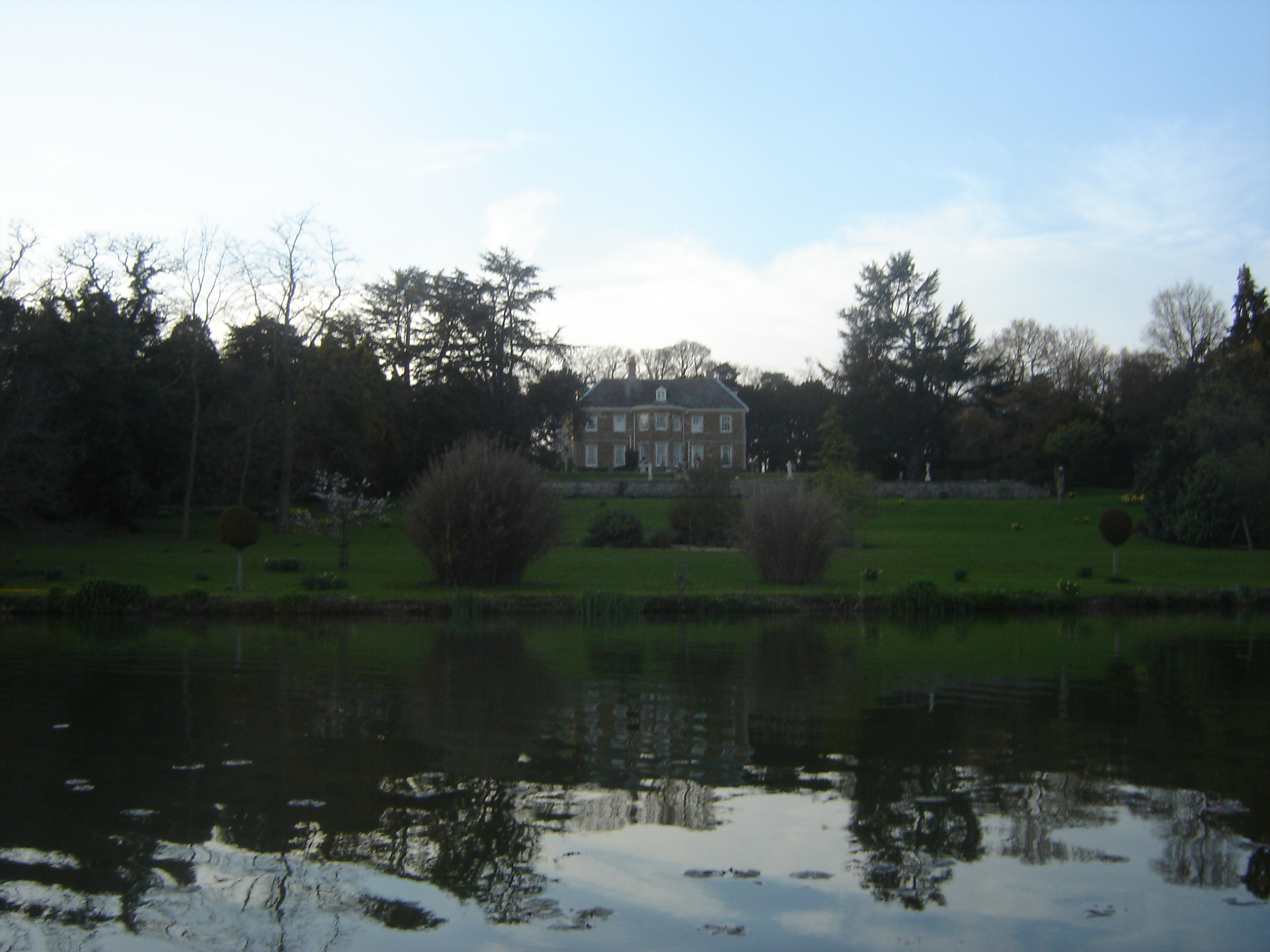
Cransley Hall
Cransley Hall is a Grade II* listed[1] country manor house in the village of Great Cransley, near Kettering in Northamptonshire. It is set in its own grounds...
Nearby Amenities
Located within 500m of 52.389666,-0.81981353Have you been to Mawsley Furze?
Leave your review of Mawsley Furze below (or comments, questions and feedback).