Washpit Dale
Valley in Yorkshire Ryedale
England
Washpit Dale
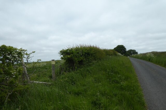
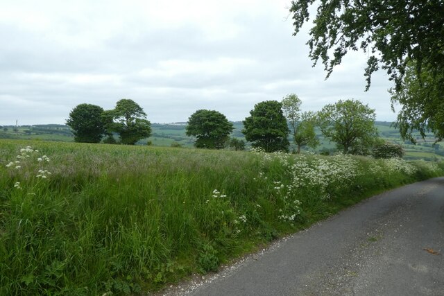
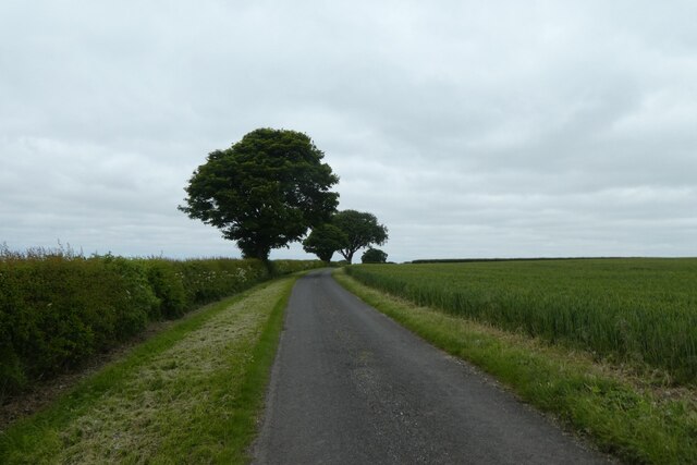
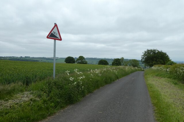
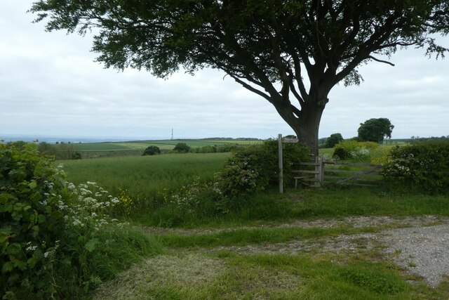
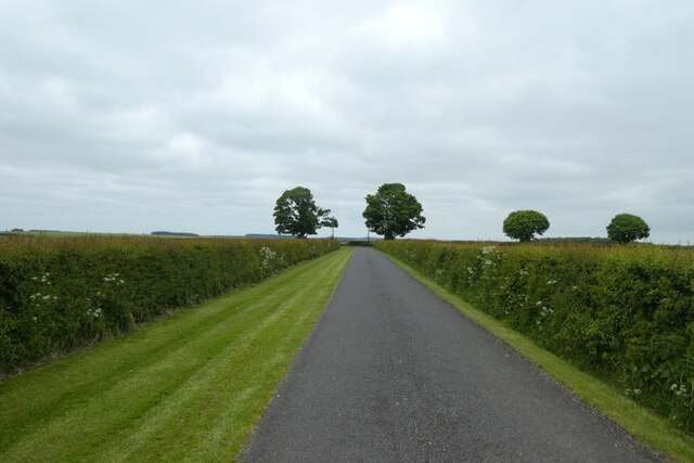
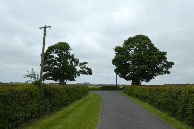
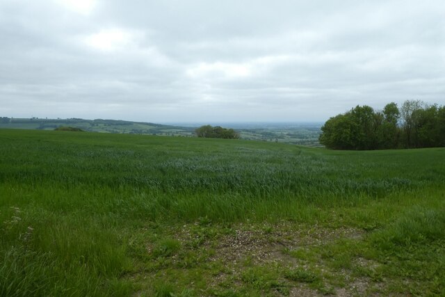
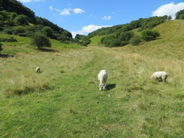
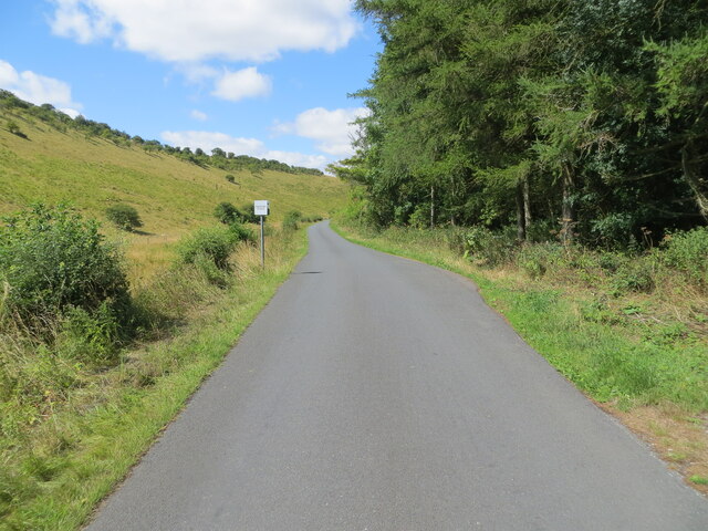
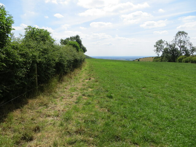
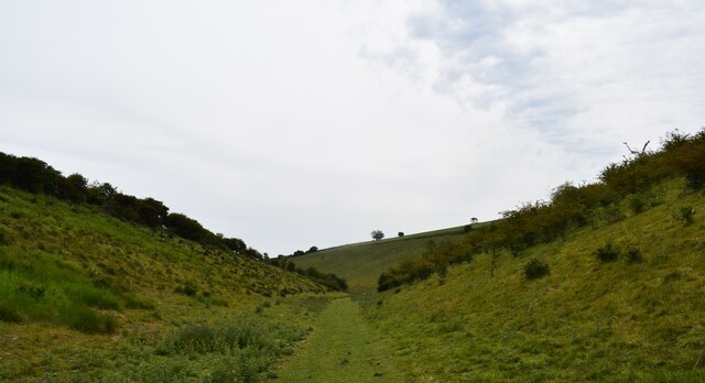
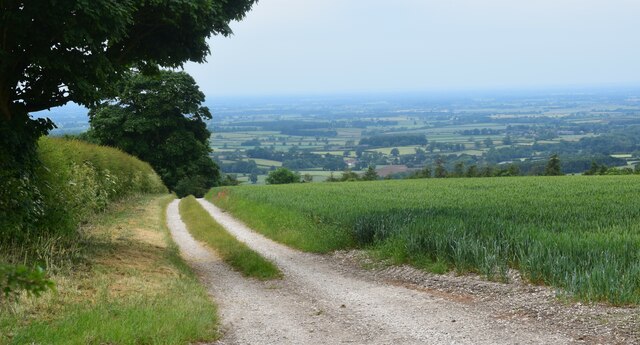
Washpit Dale is a picturesque valley located in the heart of Yorkshire, England. Surrounded by rolling hills and verdant countryside, the dale is renowned for its natural beauty and tranquility. The valley stretches for approximately 5 miles, following the course of the Washpit River, which meanders through the landscape, adding to the charm of the area.
The valley is home to a diverse range of flora and fauna, with wildflowers and ancient woodlands dotting the landscape, providing a habitat for numerous bird species and small mammals. The river itself is teeming with fish, making it a popular spot for anglers and nature enthusiasts.
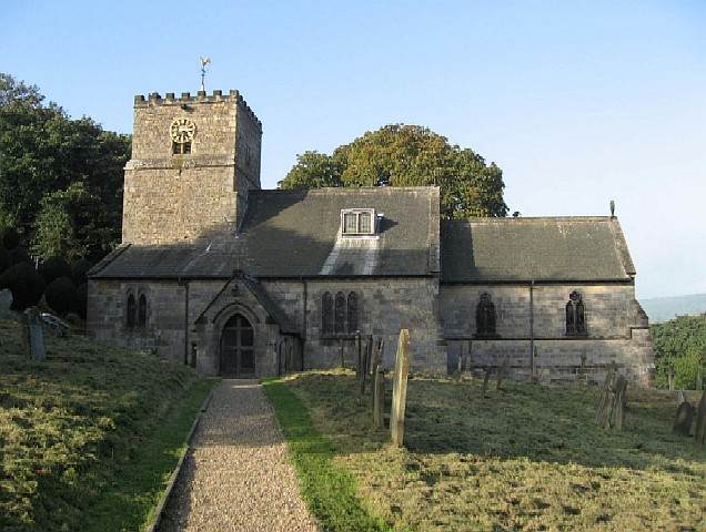
Washpit Dale is also steeped in history, with evidence of human habitation dating back thousands of years. The remains of ancient settlements and burial mounds can be found scattered throughout the valley, offering a fascinating glimpse into the region's past.
For outdoor enthusiasts, Washpit Dale offers a plethora of opportunities for hiking, cycling, and exploring. There are numerous well-maintained walking trails that crisscross the valley, providing breathtaking views of the surrounding countryside and offering a chance to soak in the peaceful atmosphere.
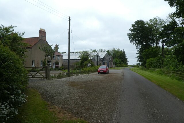
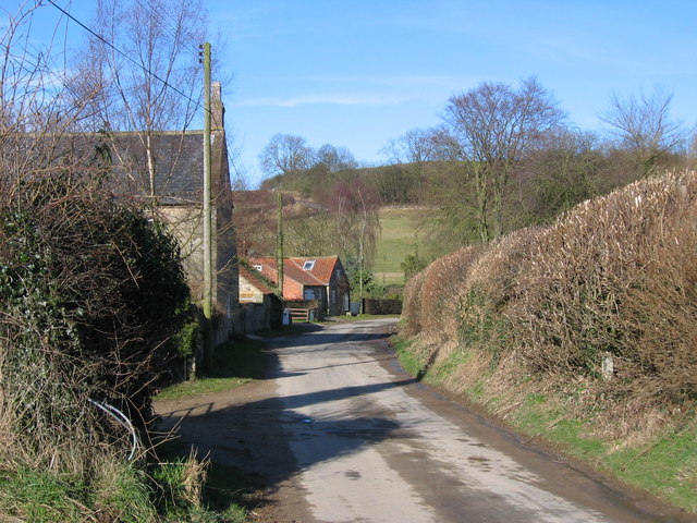
Visitors to Washpit Dale can also take advantage of the charming nearby villages, which offer a range of amenities including cozy pubs, quaint tea rooms, and local craft shops. The valley truly encapsulates the essence of rural Yorkshire, with its unspoiled beauty and warm hospitality, making it a must-visit destination for nature lovers and history buffs alike.
If you have any feedback on the listing, please let us know in the comments section below.
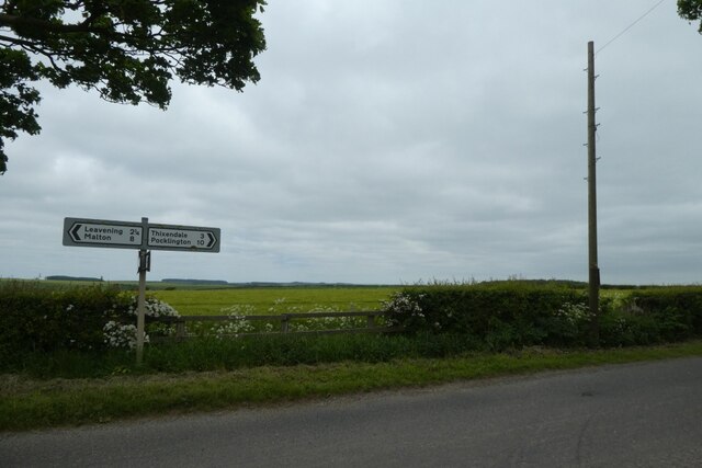
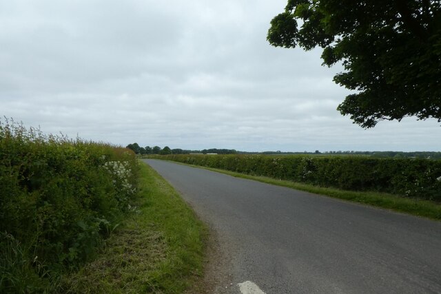
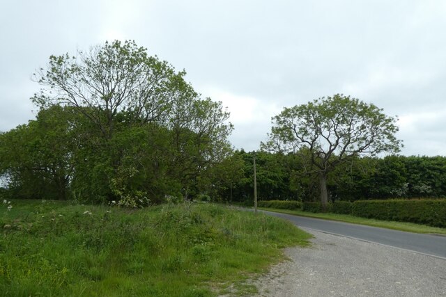
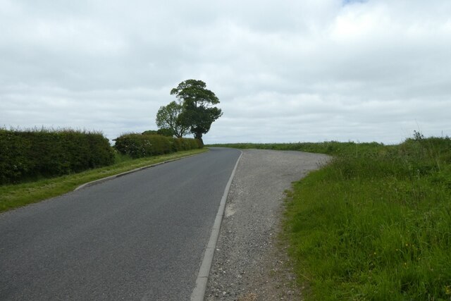
Washpit Dale Images
Images are sourced within 2km of 54.032835/-0.76869633 or Grid Reference SE8060. Thanks to Geograph Open Source API. All images are credited.
Washpit Dale is located at Grid Ref: SE8060 (Lat: 54.032835, Lng: -0.76869633)
Division: East Riding
Administrative County: North Yorkshire
District: Ryedale
Police Authority: North Yorkshire
What 3 Words
///mattress.thatched.month. Near Kirby Underdale, East Yorkshire
Nearby Locations
Related Wikis

Uncleby
Uncleby is a hamlet in the East Riding of Yorkshire, England. It forms part of the civil parish of Kirby Underdale. It is situated approximately 6.5 miles...
Kirby Underdale
Kirby Underdale is a village and civil parish in the East Riding of Yorkshire, England. It is situated approximately six miles (ten kilometres) north...

Minster FM
Minster FM was an Independent Local Radio station serving York and the surrounding areas such as Selby, Tadcaster, Thirsk, Northallerton and Goole. The...

Painsthorpe Abbey
Painsthorpe Abbey was a short-lived monastery of the Anglican Order of St. Benedict. It was established in 1902 at Painsthorpe in the East Riding of Yorkshire...

Painsthorpe
Painsthorpe is a hamlet in the East Riding of Yorkshire, England. It is located about 1 mile (1.6 km) east of the village of Kirby Underdale, the area...

Buckrose
Buckrose was a wapentake of the historic East Riding of Yorkshire, England consisting of the north-west part of the county; its territory is now partly...
Acklam, Ryedale
Acklam is a small village and civil parish in North Yorkshire, England. It is situated approximately 12 miles (20 km) north-east of York city centre and...

Garrowby
Garrowby is a hamlet in the East Riding of Yorkshire, England. It is situated approximately 5 miles (8 km) north of Pocklington town centre. It lies to...
Nearby Amenities
Located within 500m of 54.032835,-0.76869633Have you been to Washpit Dale?
Leave your review of Washpit Dale below (or comments, questions and feedback).