Assendon Copse

Wood, Forest in Oxfordshire South Oxfordshire

England

Assendon Copse

Pasture, Assendon Sheep grazing to the east of the footpath in Henley Park.
Pasture, Assendon Credit: Andrew Smith

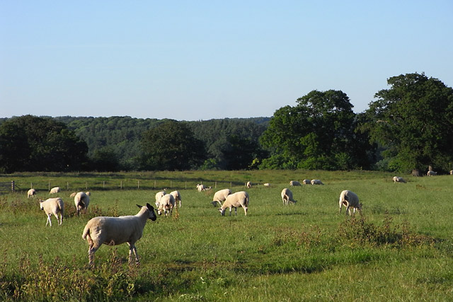
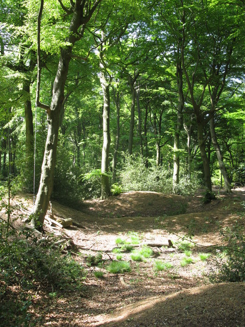
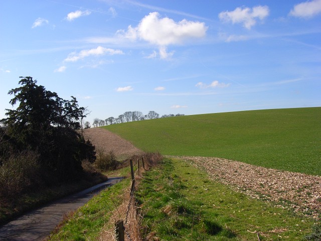
Assendon Copse is a picturesque woodland located in Oxfordshire, England. Covering an area of approximately 30 acres, it is a popular destination for nature lovers and outdoor enthusiasts. The copse is situated near the village of Chalgrove, just a short drive away from Oxford.

The woodland is characterized by its diverse range of tree species, including oak, beech, ash, and birch. These towering trees create a dense canopy that provides shade and shelter for a variety of wildlife. Visitors to Assendon Copse can expect to encounter various woodland creatures, such as deer, squirrels, and a plethora of bird species.

There are several walking trails that meander through the copse, offering visitors the opportunity to explore its natural beauty. The paths are well-maintained and suitable for all fitness levels, making it an ideal destination for families and individuals alike. Along these trails, one can find benches and picnic spots, allowing visitors to relax and enjoy the tranquil surroundings.

Assendon Copse also boasts a small stream that winds its way through the woodland. This water source adds to the copse's charm and provides a habitat for water-loving creatures, such as ducks and frogs. The stream also forms small pools, which are popular spots for children to paddle and play.

Overall, Assendon Copse is a serene and enchanting woodland that offers a welcome retreat from the hustle and bustle of everyday life. Its natural beauty and diverse wildlife make it a must-visit destination for those seeking a peaceful and immersive outdoor experience in Oxfordshire.

If you have any feedback on the listing, please let us know in the comments section below.

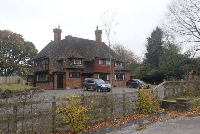
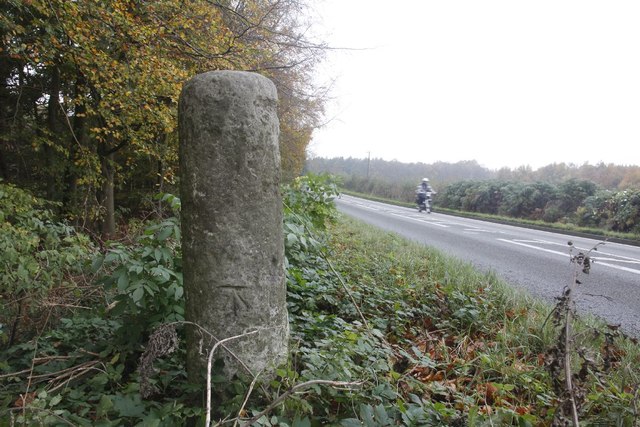
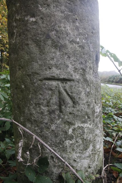
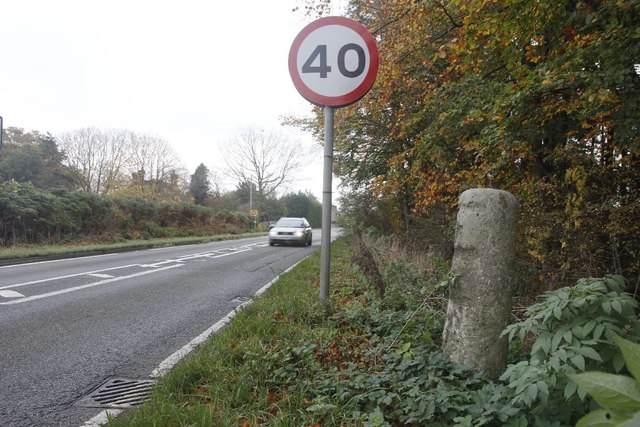
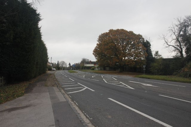
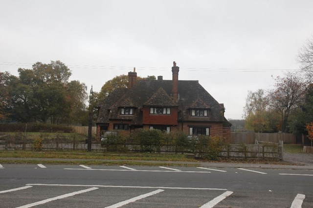
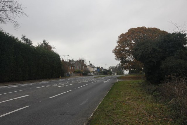
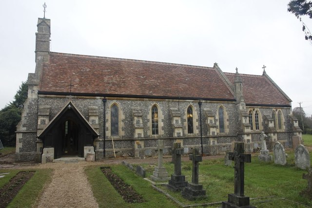
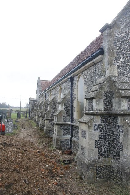
Assendon Copse Images

Images are sourced within 2km of 51.561009/-0.93319224 or Grid Reference SU7485. Thanks to Geograph Open Source API. All images are credited.

Pasture, Assendon Sheep grazing to the east of the footpath in Henley Park.
Pasture, Assendon
Sheep grazing to the east of the footpath in Henley Park.
Hollow at Famous Copse One of several old clay and flint pits in this area. This one has a rope swing.
Hollow at Famous Copse
One of several old clay and flint pits in this area. This one has a rope swing.
Sergeant H W Luker Of the Royal Australian Air force who died 18th June 1943 aged 24. Taken in Fairmile Cemetery Henley. <span class="nowrap"><a title="http://www.lostbombers.co.uk/bomber.php?id=1256" rel="nofollow ugc noopener" href="http://www.lostbombers.co.uk/bomber.php?id=1256">Link</a><img style="margin-left:2px;" alt="External link" title="External link - shift click to open in new window" src="https://s1.geograph.org.uk/img/external.png" width="10" height="10"/></span>
Sergeant H W Luker
Of the Royal Australian Air force who died 18th June 1943 aged 24. Taken in Fairmile Cemetery Henley. LinkExternal link
Trooper G E Mitchell The Headstone behind is inscribed Private A E Ball, the graves are in Fairmile Cemetery Henley.
Trooper G E Mitchell
The Headstone behind is inscribed Private A E Ball, the graves are in Fairmile Cemetery Henley.
Another milestone Looking along the A4130 at Bix in the Nettlebed direction. I'm here for another milestone which is just over beside the National speed limits apply sign to the left.
Another milestone
Looking along the A4130 at Bix in the Nettlebed direction. I'm here for another milestone which is just over beside the National speed limits apply sign to the left.
The Fox at Bix This used to be the Fox Public house; though I never have been in the place it always looked popular when I went past.  It shut many years ago as can be seen in the link. <a href="https://www.geograph.org.uk/photo/36346">SU7285 : The Fox at Bix</a>
The Fox at Bix
This used to be the Fox Public house; though I never have been in the place it always looked popular when I went past. It shut many years ago as can be seen in the link. SU7285 : The Fox at Bix
Empty Pub Sign Always sad to see an empty pub sign, this used to hold the Fox at Bix but alas it will no more.
Empty Pub Sign
Always sad to see an empty pub sign, this used to hold the Fox at Bix but alas it will no more.
Milestone by the limit Another of the London Road Milestones which is just outside Bix village near Henley.  This one is another that was defaced of its mileage and towns during the Second World War.  It would have had Oxford 20, Abingdon 18, London 38, Henley 3 on it.
Milestone by the limit
Another of the London Road Milestones which is just outside Bix village near Henley. This one is another that was defaced of its mileage and towns during the Second World War. It would have had Oxford 20, Abingdon 18, London 38, Henley 3 on it.
Milestone at Bix The milestone at Bix near Henley which would have had Oxford 20, Abingdon 18, London 38, Henley 3 carved in it but was defaced during the Second World War.
Milestone at Bix
The milestone at Bix near Henley which would have had Oxford 20, Abingdon 18, London 38, Henley 3 carved in it but was defaced during the Second World War.
Motorbiking View of the Bix milestone looking in the Nettlebed direction with a motorbike making its way along the A4130.  You can see a benchmark on the base.
Motorbiking
View of the Bix milestone looking in the Nettlebed direction with a motorbike making its way along the A4130. You can see a benchmark on the base.
Close up of the Bix Milestone Closeup of the Bix benchmark on the milestone. <a href="https://www.geograph.org.uk/photo/2687326">SU7285 : Motorbiking</a>
Close up of the Bix Milestone
Closeup of the Bix benchmark on the milestone. SU7285 : Motorbiking
Looking towards Bix View from the milestone at Bix towards the village.
Looking towards Bix
View from the milestone at Bix towards the village.
Junction on the end View across the A4130 towards a road junction just on the end of the dual carriageway up Bix Hill.
Junction on the end
View across the A4130 towards a road junction just on the end of the dual carriageway up Bix Hill.
Another view of the Fox Another view of the Fox public house which I think closed back in the 1990's.
Another view of the Fox
Another view of the Fox public house which I think closed back in the 1990's.
End of the carriageway View towards the end of the dual carriageway on Bix Hill
End of the carriageway
View towards the end of the dual carriageway on Bix Hill
St James View of St James at Bix, which is a new church, as the old one is a ruin near Bix Bottom.
St James
View of St James at Bix, which is a new church, as the old one is a ruin near Bix Bottom.
North side of St James View of the north side of St James in Bix which at the moment looks to be having some work done.
North side of St James
View of the north side of St James in Bix which at the moment looks to be having some work done.
The west end The west end of St James at Bix.
The west end
The west end of St James at Bix.
Show me another place!

Assendon Copse is located at Grid Ref: SU7485 (Lat: 51.561009, Lng: -0.93319224)

Administrative County: Oxfordshire

District: South Oxfordshire

Police Authority: Thames Valley

What 3 Words

///flock.drivers.bins. Near Remenham, Berkshire

Related Wikis

Middle Assendon

Middle Assendon is a village in the Stonor valley in the Chiltern Hills. It is about 2 miles (3.2 km) northwest of Henley-on-Thames in South Oxfordshire...

Bix and Assendon

Bix and Assendon, formerly just Bix is a mainly rural civil parish in the high Chilterns just north of Henley-on-Thames in South Oxfordshire, in the county...

Lower Assendon

Lower Assendon is a village in the Assendon valley in the Chiltern Hills, about 1.5 miles (2.4 km) northwest of Henley-on-Thames in South Oxfordshire...

Lambridge Wood

Lambridge Wood is a 73.8-hectare (182-acre) biological Site of Special Scientific Interest north-west of Henley-on-Thames in Oxfordshire. It is in the...

Henley Park

Henley Park is a country house and landscape garden in Bix and Assendon civil parish in the Chiltern Hills of South Oxfordshire, England. The house is...

Bix, Oxfordshire

Bix is a village in the civil parish of Bix and Assendon in South Oxfordshire, about 2.5 miles (4 km) northwest of Henley-on-Thames. The village is about...
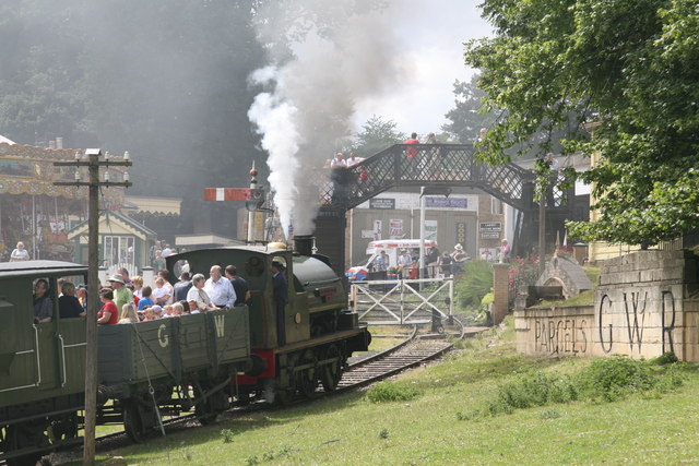
Fawley Hill Railway

Fawley Hill Railway is a privately owned heritage railway on the Fawley Hill estate of the late Sir William McAlpine at Fawley in Buckinghamshire, England...

Fawley Bottom

Fawley Bottom is a small village in south Buckinghamshire, England, north of Henley-on-Thames. It is in the civil parish of Fawley. The artist John Piper...

Nearby Amenities

Located within 500m of 51.561009,-0.93319224
Middle Assendon
Place: hamlet
Wikidata: Q6841206
Wikipedia: en:Middle Assendon
Lat/Long: 51.5649821/-0.9354888
Barrier: stile
Foot: yes
Lat/Long: 51.5646825/-0.9312849
Turning Circle
Lat/Long: 51.5644759/-0.934116
Direction: 240
Generator Method: photovoltaic
Generator Output Electricity: yes
Generator Solar Modules: 14
Generator Source: solar
Generator Type: solar_photovoltaic_panel
Location: roof
Power: generator
Lat/Long: 51.5644238/-0.9344813
Direction: 250
Generator Method: photovoltaic
Generator Output Electricity: yes
Generator Solar Modules: 12
Generator Source: solar
Generator Type: solar_photovoltaic_panel
Location: roof
Power: generator
Lat/Long: 51.5647433/-0.9339979
Direction: 245
Generator Method: photovoltaic
Generator Output Electricity: yes
Generator Solar Modules: 16
Generator Source: solar
Generator Type: solar_photovoltaic_panel
Location: roof
Power: generator
Lat/Long: 51.5631669/-0.934636
Direction: 215
Generator Method: photovoltaic
Generator Output Electricity: yes
Generator Solar Modules: 6
Generator Source: solar
Generator Type: solar_photovoltaic_panel
Location: roof
Power: generator
Lat/Long: 51.5573384/-0.9341032
Direction: 215
Generator Method: photovoltaic
Generator Output Electricity: yes
Generator Solar Modules: 6
Generator Source: solar
Generator Type: solar_photovoltaic_panel
Location: roof
Power: generator
Lat/Long: 51.5573143/-0.9340284
The data included in this document is from www.openstreetmap.org. The data is made available under ODbL.

Have you been to Assendon Copse?

Leave your review of Assendon Copse below (or comments, questions and feedback).