Kitchener's Firs
Wood, Forest in Buckinghamshire
England
Kitchener's Firs

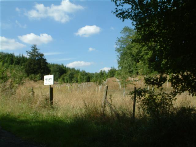
Kitchener's Firs is a picturesque woodland located in Buckinghamshire, England. Situated near the town of Beaconsfield, this woodland is known for its dense population of fir trees, which contribute to its unique and enchanting atmosphere.
Covering an area of approximately 100 acres, Kitchener's Firs is a haven for nature lovers and outdoor enthusiasts. The woodland offers a variety of walking trails, allowing visitors to explore its beauty at their own pace. The trails wind through the forest, providing breathtaking views of towering fir trees and an abundance of wildlife.
The woodland is named after Herbert Kitchener, a prominent British military figure who had a strong affinity for nature. Kitchener's Firs was planted in the early 20th century as part of a reforestation effort, and the fir trees have since flourished, creating a dense and verdant forest.
Aside from the stunning vegetation, Kitchener's Firs is home to a diverse range of wildlife. Visitors may spot deer, squirrels, and a variety of bird species as they traverse the woodland. The serene atmosphere and tranquil surroundings make it an ideal spot for birdwatching and nature photography.
Kitchener's Firs also offers several picnic areas, perfect for families and friends to enjoy a peaceful outdoor meal. The woodland is well-maintained, with clear signage and designated parking areas for visitors' convenience.
Overall, Kitchener's Firs in Buckinghamshire is a captivating woodland that showcases the beauty of nature. With its towering fir trees, diverse wildlife, and inviting walking trails, it provides a serene escape from the hustle and bustle of everyday life.
If you have any feedback on the listing, please let us know in the comments section below.
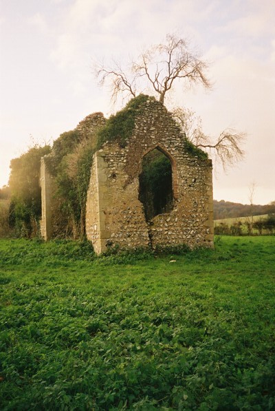
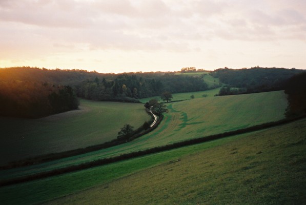
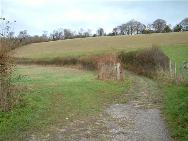
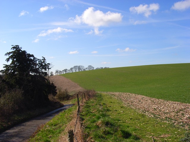
Kitchener's Firs Images
Images are sourced within 2km of 51.572164/-0.93285903 or Grid Reference SU7486. Thanks to Geograph Open Source API. All images are credited.


Kitchener's Firs is located at Grid Ref: SU7486 (Lat: 51.572164, Lng: -0.93285903)
Unitary Authority: Buckinghamshire
Police Authority: Thames Valley
What 3 Words
///manager.latches.gladiator. Near Remenham, Berkshire
Nearby Locations
Related Wikis
Fawley Bottom
Fawley Bottom is a small village in south Buckinghamshire, England, north of Henley-on-Thames. It is in the civil parish of Fawley. The artist John Piper...

Middle Assendon
Middle Assendon is a village in the Stonor valley in the Chiltern Hills. It is about 2 miles (3.2 km) northwest of Henley-on-Thames in South Oxfordshire...

St Mary the Virgin's Church, Fawley
St Mary the Virgin's Church is in centre of the village of Fawley, Buckinghamshire, England. It is an active Anglican parish church on the deanery of Wycombe...

Bix and Assendon
Bix and Assendon, formerly just Bix is a mainly rural civil parish in the high Chilterns just north of Henley-on-Thames in South Oxfordshire, in the county...
Nearby Amenities
Located within 500m of 51.572164,-0.93285903Have you been to Kitchener's Firs?
Leave your review of Kitchener's Firs below (or comments, questions and feedback).