Black Plantation
Wood, Forest in Yorkshire Ryedale
England
Black Plantation
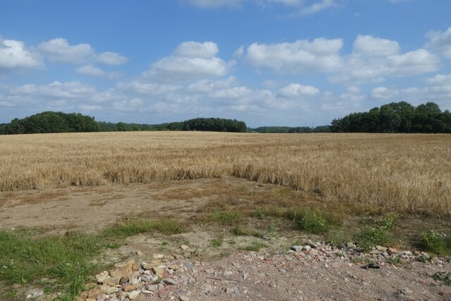
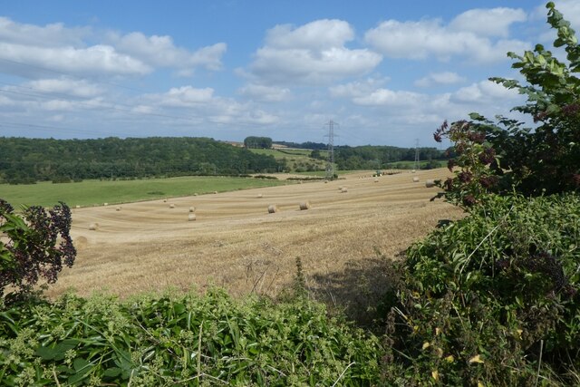
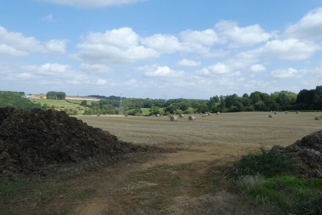
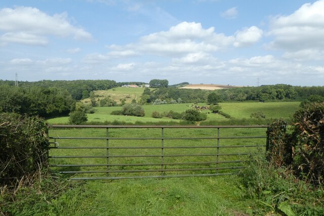
Black Plantation is a woodland area located in the county of Yorkshire, England. Situated in the northern part of the country, specifically in the region of Wood, Forest, the plantation spans an area of approximately [insert size]. It is renowned for its rich biodiversity and historical significance, attracting nature enthusiasts and history buffs alike.
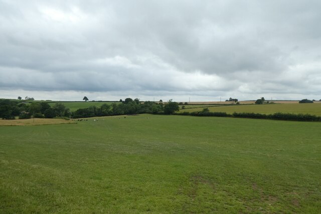
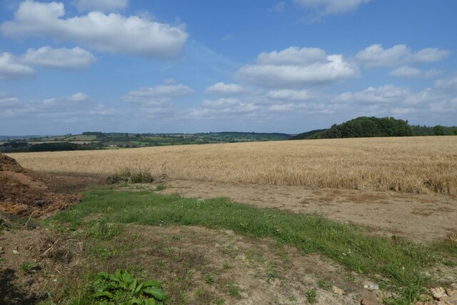
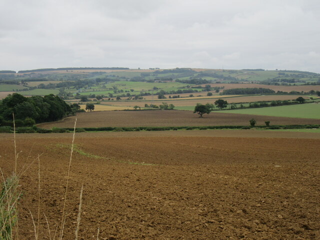
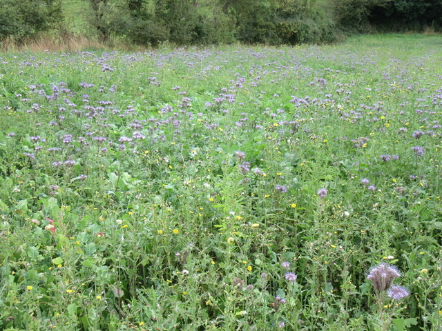
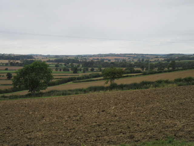
The woodland is predominantly composed of towering trees, including oak, beech, and birch, creating a dense and verdant canopy. This vibrant ecosystem supports a wide array of wildlife, such as deer, foxes, and various bird species, making it an ideal spot for nature observation and photography.
With its origins dating back several centuries, Black Plantation has a storied past. It was originally established as a timber resource during the medieval period, providing valuable wood for construction, fuel, and other purposes. Over time, the woodland gradually developed into a natural haven with its own unique ecosystem.
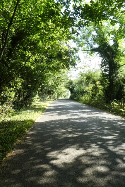
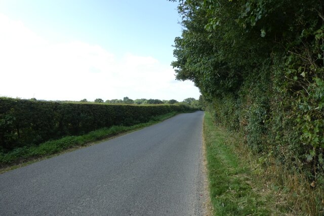
Today, Black Plantation offers visitors a chance to immerse themselves in nature through its well-maintained walking trails and picnic areas. The plantation is also a designated Site of Special Scientific Interest (SSSI), recognizing its ecological importance and the need for its preservation.
Whether it is for a leisurely stroll, birdwatching, or simply to escape the hustle and bustle of urban life, Black Plantation in Yorkshire, Wood, Forest provides a tranquil and enchanting setting for all those who appreciate the beauty of the natural world.
If you have any feedback on the listing, please let us know in the comments section below.
Black Plantation Images
Images are sourced within 2km of 54.061946/-0.87018874 or Grid Reference SE7463. Thanks to Geograph Open Source API. All images are credited.

Black Plantation is located at Grid Ref: SE7463 (Lat: 54.061946, Lng: -0.87018874)
Division: East Riding
Administrative County: North Yorkshire
District: Ryedale
Police Authority: North Yorkshire
What 3 Words
///ringers.relocated.cheaply. Near Bugthorpe, East Yorkshire
Nearby Locations
Related Wikis

Howsham, North Yorkshire
Howsham is a village and civil parish in North Yorkshire, England. It is home to a small parish church and Howsham Hall. Howsham appeared as Husun in...

Howsham railway station (North Yorkshire)
Howsham railway station was a short-lived railway station between the villages of Howsham and Crambe in North Yorkshire, England. Located on the York to...

Howsham Hall
Howsham Hall is a 28,336 square feet (2,632.5 m2) grade I listed Jacobean stately home in Howsham, North Yorkshire, England.It is built in two storeys...

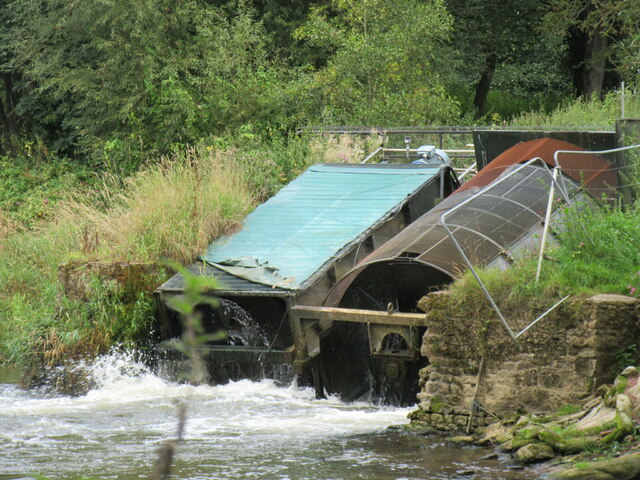
Howsham Mill
Howsham Mill is a Grade II listed 18th century watermill located on the River Derwent in North Yorkshire, England. == History == Howsham Mill dates back...

Crambe, North Yorkshire
Crambe is a village and civil parish in the Ryedale district of North Yorkshire, England. It is near the River Derwent and 6 miles (10 km) south-west of...

Westow
Westow is a village and civil parish in North Yorkshire, England. Westow is situated in the lee of Spy Hill, bordering the Howardian Hills Area of Outstanding...
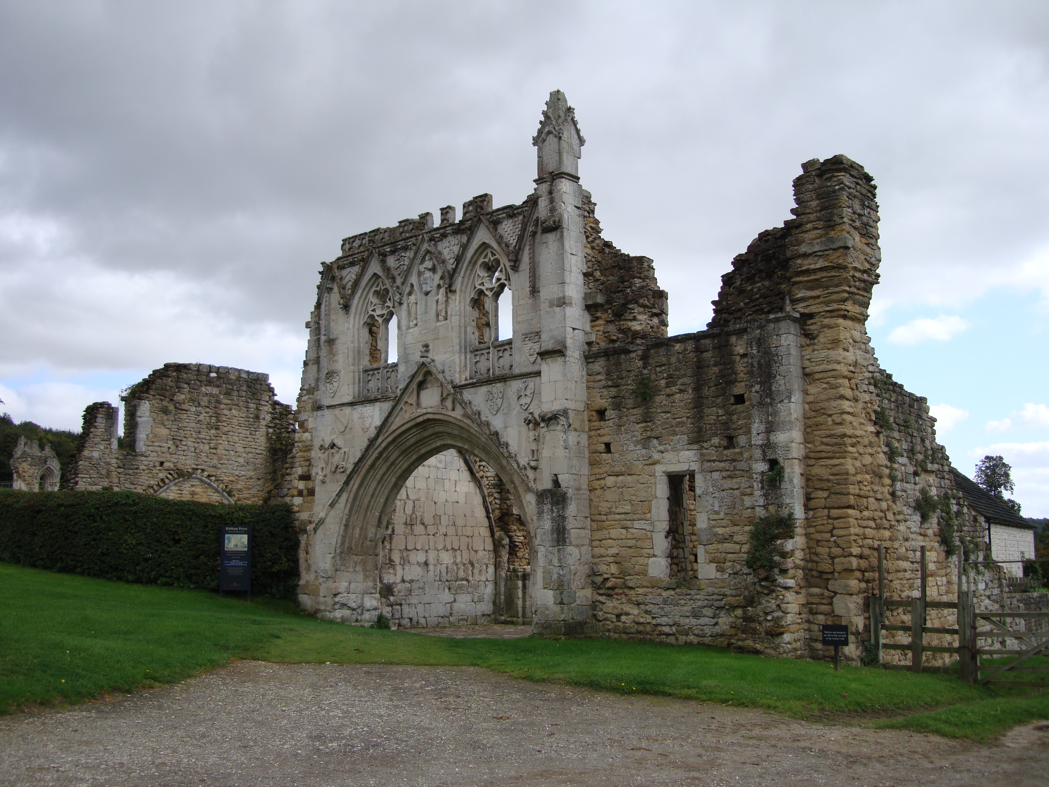
Kirkham Priory
The ruins of Kirkham Priory are situated on the banks of the River Derwent, at Kirkham, North Yorkshire, England. The Augustinian priory was founded in...
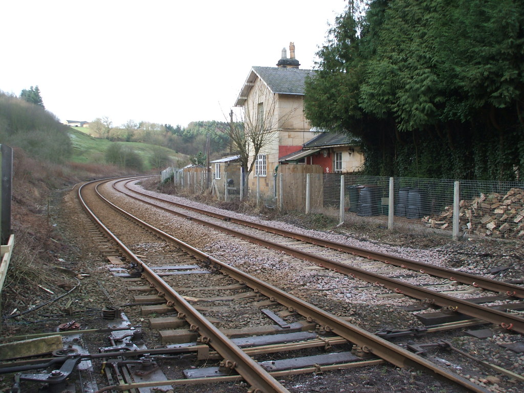
Kirkham Abbey railway station
Kirkham Abbey railway station was a minor railway station serving the village of Kirkham in North Yorkshire, England on the York to Scarborough Line and...
Related Videos

walking in the Howardian Hills #walkinginthehowardianhills
Hello, Eh Up and how ya Diddlin!? In this weeks video, its just you and me, as we take in the fantastic gems and walking in the ...
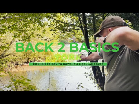
Back 2 Basics - Kirkham Priory to Howsham circular route (EP2)
Ey up! In this video we decided to walk the Kirkham Priory to Howsham circular route. Woodland, countryside, stunning river this ...
Howsham Bridge
A wander around Howsham Mill and a swim in the River Derwent at Howsham Bridge. Starting from on-street parking at: YO60 ...
Ryedale Vineyards - Drone Photography
Aerial Photography Video for Ryedale Vineyards, North Yorkshire. www.ryedalevineyards.co.uk Filmed and produced by TYM ...
Nearby Amenities
Located within 500m of 54.061946,-0.87018874Have you been to Black Plantation?
Leave your review of Black Plantation below (or comments, questions and feedback).