Howsham
Civil Parish in Yorkshire Ryedale
England
Howsham
Howsham is a small civil parish located in the East Riding of Yorkshire, England. Situated approximately 12 miles north-east of the city of York, the parish covers an area of around 2 square miles. It is part of the Howardian Hills Area of Outstanding Natural Beauty, which boasts stunning landscapes and picturesque countryside.
The village of Howsham itself is a charming settlement with a population of around 200 residents. It is known for its quaint, traditional houses and historic buildings, many of which date back to the 18th and 19th centuries. The village is centered around St. John the Baptist Church, a Grade II listed building that showcases beautiful architectural features and adds to the village's historical charm.
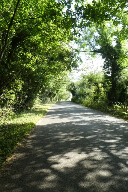
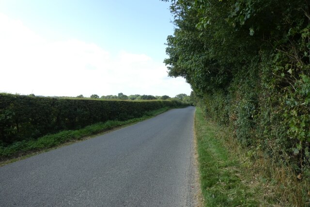
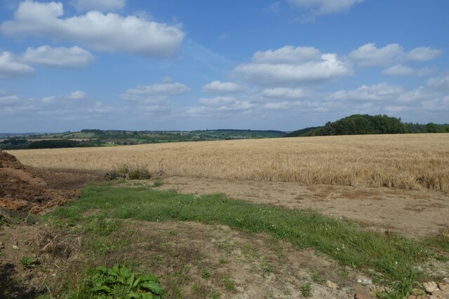
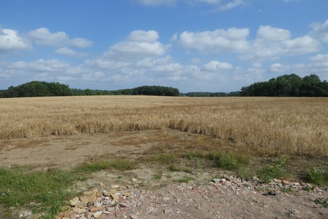
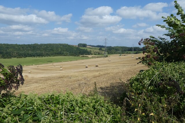
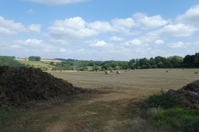
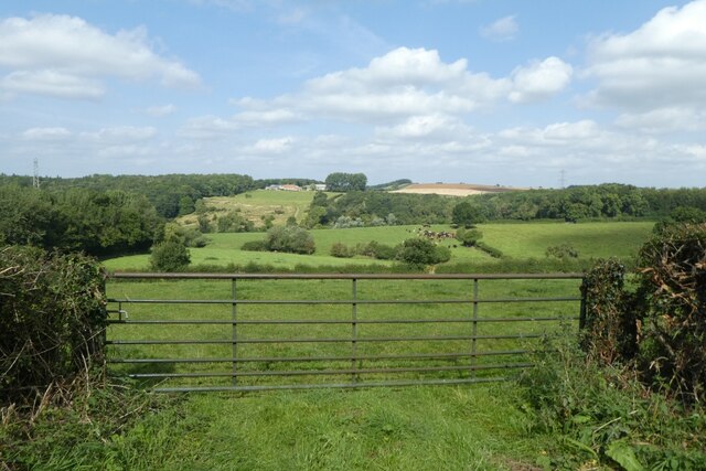
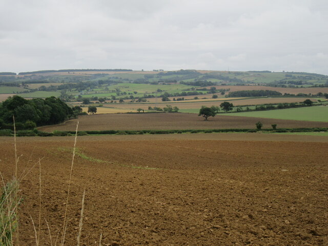
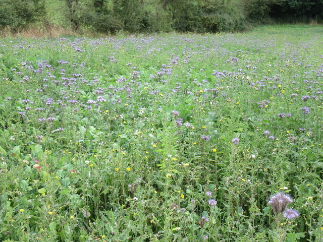
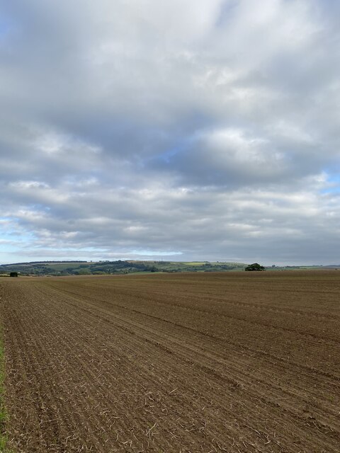
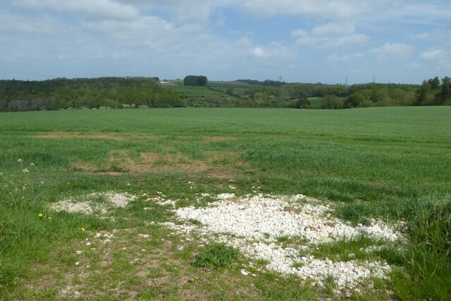
Surrounded by rolling hills and expansive farmland, Howsham offers a tranquil and idyllic setting for its residents and visitors alike. The picturesque countryside provides ample opportunities for outdoor activities such as walking, hiking, and cycling. The area is also rich in wildlife, with several nature reserves nearby.
Despite its small size, Howsham is a vibrant community with a strong sense of community spirit. The village has a local pub, The Howsham Arms, which serves as a meeting point for residents and visitors to socialize and enjoy traditional British pub food.
Overall, Howsham is a delightful and peaceful civil parish, offering a perfect retreat for those seeking a rural escape with access to natural beauty and historical charm.
If you have any feedback on the listing, please let us know in the comments section below.
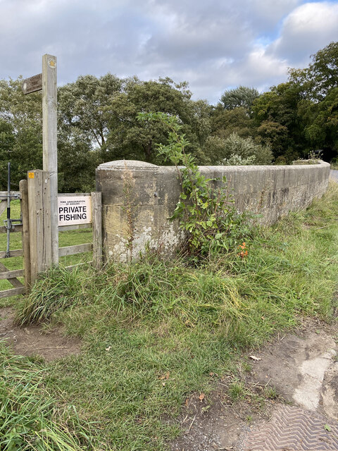
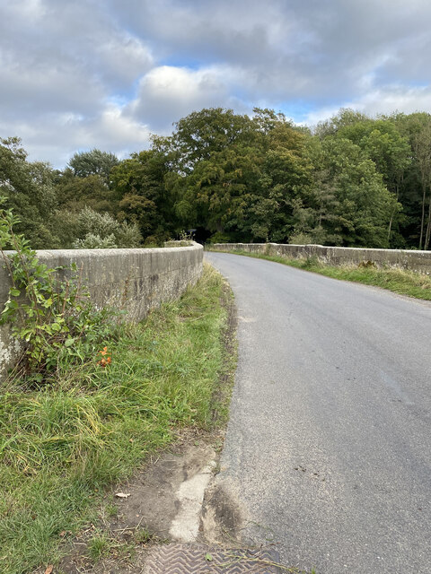
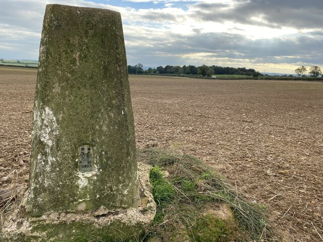
Howsham Images
Images are sourced within 2km of 54.057917/-0.858345 or Grid Reference SE7463. Thanks to Geograph Open Source API. All images are credited.
Howsham is located at Grid Ref: SE7463 (Lat: 54.057917, Lng: -0.858345)
Division: East Riding
Administrative County: North Yorkshire
District: Ryedale
Police Authority: North Yorkshire
What 3 Words
///reduce.cleanser.winemaker. Near Bugthorpe, East Yorkshire
Nearby Locations
Related Wikis

Howsham, North Yorkshire
Howsham is a village and civil parish in North Yorkshire, England. It is home to a small parish church and Howsham Hall. Howsham appeared as Husun in...

Howsham Hall
Howsham Hall is a 28,336 square feet (2,632.5 m2) grade I listed Jacobean stately home in Howsham, North Yorkshire, England.It is built in two storeys...

Howsham railway station (North Yorkshire)
Howsham railway station was a short-lived railway station between the villages of Howsham and Crambe in North Yorkshire, England. Located on the York to...

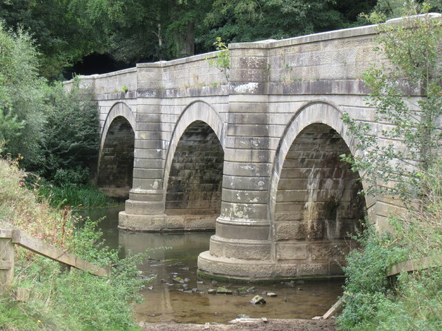
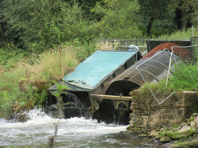
Howsham Mill
Howsham Mill is a Grade II listed 18th century watermill located on the River Derwent in North Yorkshire, England. == History == Howsham Mill dates back...

Westow
Westow is a village and civil parish in North Yorkshire, England. Westow is situated in the lee of Spy Hill, bordering the Howardian Hills Area of Outstanding...

Crambe, North Yorkshire
Crambe is a village and civil parish in the Ryedale district of North Yorkshire, England. It is near the River Derwent and 6 miles (10 km) south-west of...

Leppington, North Yorkshire
Leppington is a hamlet and former civil parish, now in the parish of Scrayingham, in North Yorkshire, England, and is 12 miles (19 km) north-east from...

Kirkham, North Yorkshire
Kirkham is a village in the civil parish of Westow, in North Yorkshire, England, close to Malton, situated in the Howardian Hills alongside the River Derwent...
Nearby Amenities
Located within 500m of 54.057917,-0.858345Have you been to Howsham?
Leave your review of Howsham below (or comments, questions and feedback).