Howgrave

Civil Parish in Yorkshire Hambleton

England

Howgrave

A 1 northbound - 1980 On the A 1 near Kirklington heading north.
A 1 northbound - 1980 Credit: Helmut Zozmann

Howgrave is a civil parish located in the county of Yorkshire, England. It is situated approximately 5 miles east of the town of Bedale and covers an area of around 1.5 square miles. The parish is part of the district of Hambleton and falls within the region of North Yorkshire.

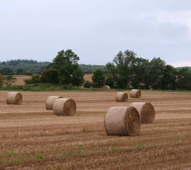
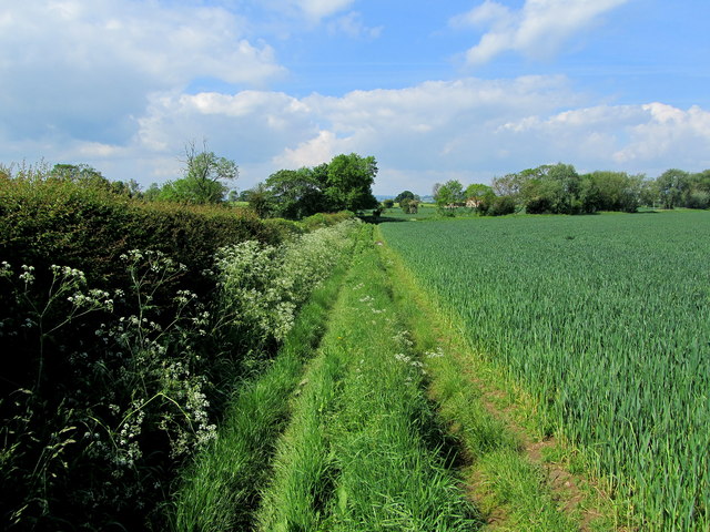
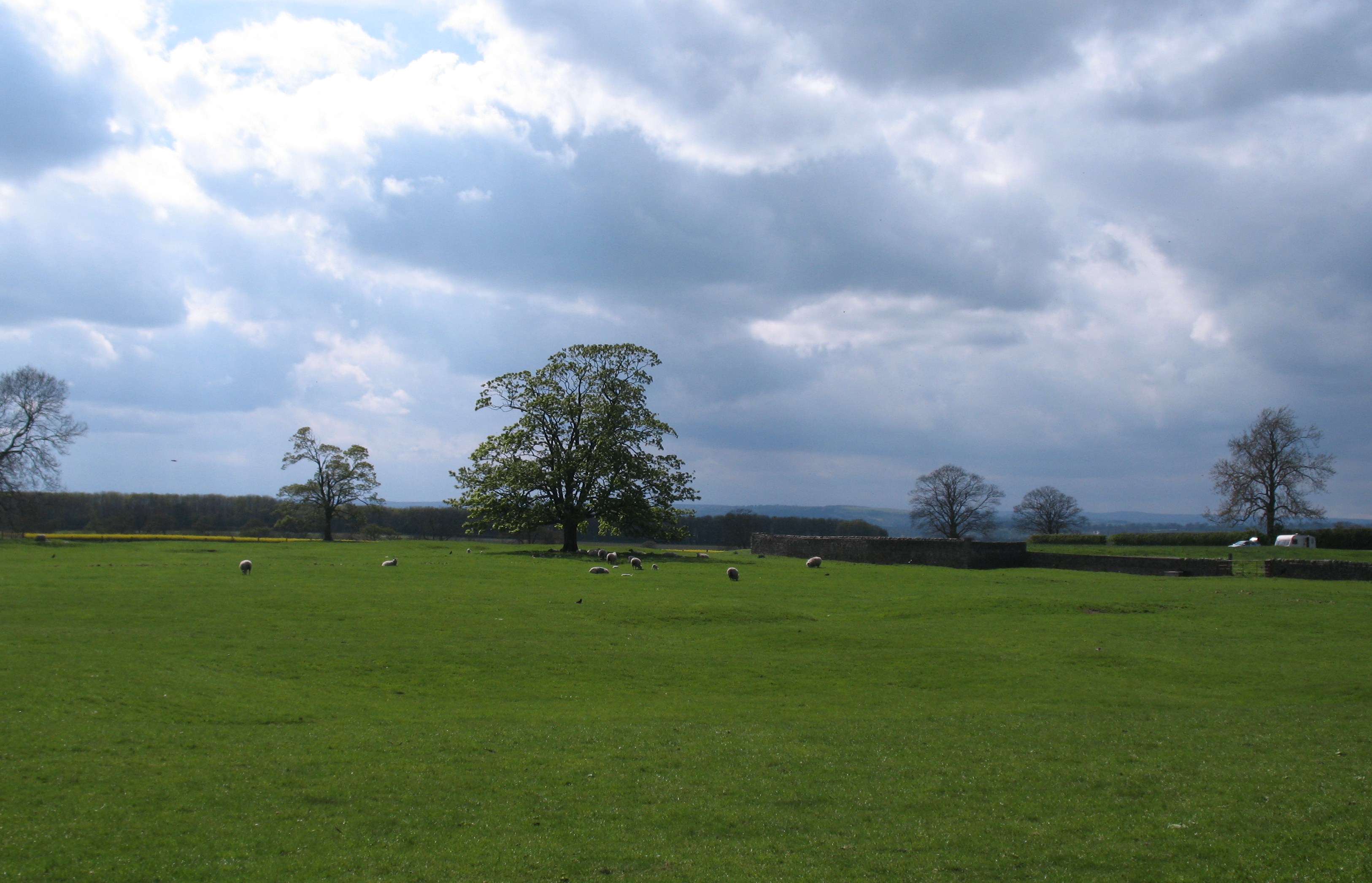
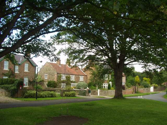
The village of Howgrave itself is small, with a population of around 100 residents. It is characterized by its picturesque rural setting, surrounded by rolling countryside and farmland. The parish is predominantly agricultural, with farming being the primary industry in the area.

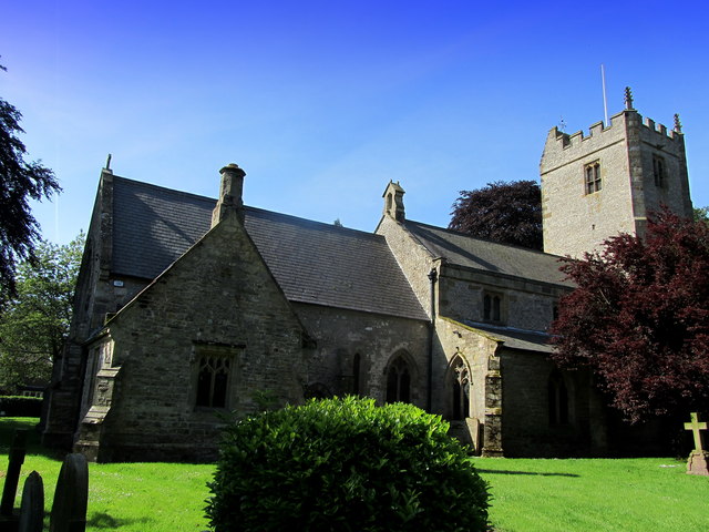
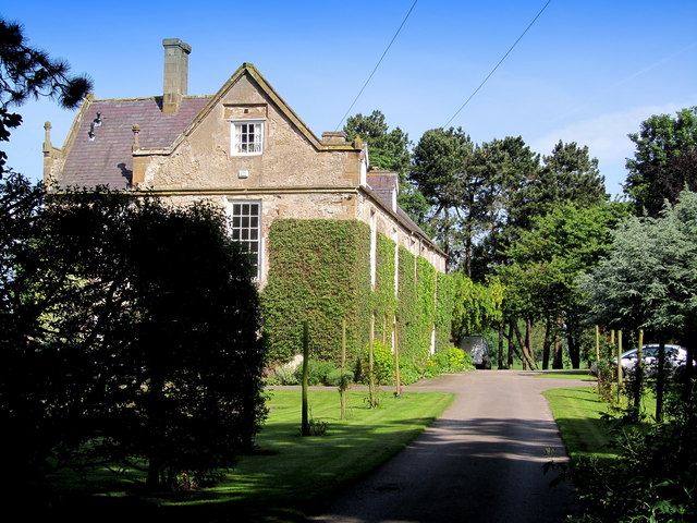
The village features a number of traditional stone-built houses, many of which date back several centuries. The local church, St. Peter's, is an ancient structure that serves as a focal point for the community. The church boasts a rich history and is well-preserved, attracting visitors interested in its architectural and historical significance.

Despite its small size, Howgrave benefits from its proximity to larger towns and cities. The nearby town of Bedale offers a range of amenities, including shops, schools, and healthcare facilities, making it easily accessible for residents of Howgrave.

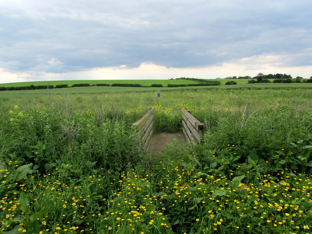
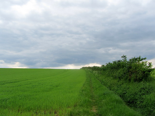
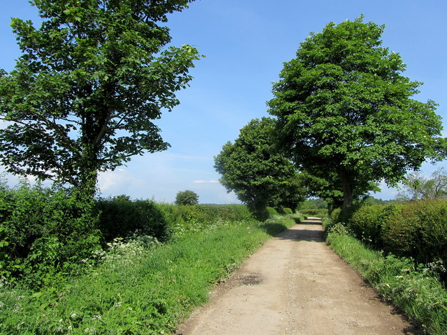
The area surrounding Howgrave is known for its natural beauty, with scenic walking trails and countryside views. It is a popular destination for outdoor enthusiasts, offering opportunities for hiking, cycling, and wildlife spotting.

In summary, Howgrave is a charming civil parish in Yorkshire, characterized by its rural landscape, historic buildings, and agricultural heritage. It provides a peaceful and picturesque setting for residents and visitors alike.

If you have any feedback on the listing, please let us know in the comments section below.

Howgrave Images

Images are sourced within 2km of 54.215091/-1.514239 or Grid Reference SE3180. Thanks to Geograph Open Source API. All images are credited.

A 1 northbound - 1980 On the A 1 near Kirklington heading north.
A 1 northbound - 1980
On the A 1 near Kirklington heading north.
Green Lane, Kirklington Green lane appears to be one of those unsurfaced lanes that might be a county road or byway, but it turns out to be just a track leading towards Kirklington Grange.
Green Lane, Kirklington
Green lane appears to be one of those unsurfaced lanes that might be a county road or byway, but it turns out to be just a track leading towards Kirklington Grange.
Arable land at Kirklington Straw bales in a field to the south of Kirklington village.
Arable land at Kirklington
Straw bales in a field to the south of Kirklington village.
Quernhow Cafe
Quernhow Cafe
Footbridge between Kirklington and Street House Farm Found on the public footpath that runs east to west between Street House Farm on the A6055 (Former Great North Road) and the village of Kirklington - the structure almost buried under verdant vegetation.
Footbridge between Kirklington and Street House Farm
Found on the public footpath that runs east to west between Street House Farm on the A6055 (Former Great North Road) and the village of Kirklington - the structure almost buried under verdant vegetation.
Footpath between Street House Farm and Kirklington Section of the path climbing beside the hedgerow of an arable field from Street House Farm on the A6055 (Formerly the A1, Great North Road) to the village of Kirklington
Footpath between Street House Farm and Kirklington
Section of the path climbing beside the hedgerow of an arable field from Street House Farm on the A6055 (Formerly the A1, Great North Road) to the village of Kirklington
St. Michael the Archangel's Church, Kirklington The church and tower seen from the north east, just inside the lych gate.
St. Michael the Archangel's Church, Kirklington
The church and tower seen from the north east, just inside the lych gate.
Village Green at Kirklington The green appears to have been left to its own devices - it looks untidy, but is in a natural state.
Village Green at Kirklington
The green appears to have been left to its own devices - it looks untidy, but is in a natural state.
The Hall, Kirklington Seen from Whinwath Lane on the north western extremity of the village.  Originally built by Sir Christopher Wandesford circa 1570, the hall was much altered in the 18th and 19th centuries.
The Hall, Kirklington
Seen from Whinwath Lane on the north western extremity of the village. Originally built by Sir Christopher Wandesford circa 1570, the hall was much altered in the 18th and 19th centuries.
Plane Tree Buildings Farm outbuildings on Whinwath Lane near Kirklington
Plane Tree Buildings
Farm outbuildings on Whinwath Lane near Kirklington
Whinwath Lane (1) Pleasant track contained within hedgerows leading towards Red House from the village of Kirklington.
Whinwath Lane (1)
Pleasant track contained within hedgerows leading towards Red House from the village of Kirklington.
Whinwath Lane (2) Pleasant country track betwixt hedgerows, that describes a zig zag course to its ultimate destination at Red House
Whinwath Lane (2)
Pleasant country track betwixt hedgerows, that describes a zig zag course to its ultimate destination at Red House
Whinwath Lane (3) Pleasant country track giving access between the village of Kirklington and Red House.
Whinwath Lane (3)
Pleasant country track giving access between the village of Kirklington and Red House.
Footpath in Upsland Public footpath having just left the track of Whinwath Lane heads beside this arable field, before swinging south towards Lime Lane.
Footpath in Upsland
Public footpath having just left the track of Whinwath Lane heads beside this arable field, before swinging south towards Lime Lane.
Quernhow Cafe Built on the site of a bronze age burial mound circa 1900 BC - called Quernhow.
This cafe is to be found on the A6055.  This used to be the northbound carriageway of the A1 (Great North Road), but has now been downgraded because of the construction of a new motorway that runs side by side. Business, as  consequence must have diminished, as there is no access from the new road.
Quernhow Cafe
Built on the site of a bronze age burial mound circa 1900 BC - called Quernhow. This cafe is to be found on the A6055. This used to be the northbound carriageway of the A1 (Great North Road), but has now been downgraded because of the construction of a new motorway that runs side by side. Business, as consequence must have diminished, as there is no access from the new road.
Roundabout on the A6055 and B6267 There is no access to the A1 thundering close by.
Roundabout on the A6055 and B6267
There is no access to the A1 thundering close by.
Kirklington village green (south side) Unlike many Yorkshire village greens, Kirklington has a number of very large trees growing.
Kirklington village green (south side)
Unlike many Yorkshire village greens, Kirklington has a number of very large trees growing.
Kirklington village green (east side)
Show me another place!

Howgrave is located at Grid Ref: SE3180 (Lat: 54.215091, Lng: -1.514239)

Division: West Riding

Administrative County: North Yorkshire

District: Hambleton

Police Authority: North Yorkshire

What 3 Words

///angle.apart.pollution. Near Ripon, North Yorkshire

Related Wikis

Howgrave

Howgrave is a civil parish in the Hambleton District of North Yorkshire, England. It is a very small parish, with an area of only 323 acres (131 ha) and...

Kirklington, North Yorkshire

Kirklington is a village in the English county of North Yorkshire close to the A1(M) motorway. Kirklington forms the major part of the civil parish of...

Kirklington-cum-Upsland

Kirklington-cum-Upsland is a civil parish in the Hambleton district of North Yorkshire, England. The main settlement is Kirklington. Upsland is a single...

Sutton Howgrave

Sutton Howgrave is a village in North Yorkshire, England. It is the only village in the civil parish of Sutton with Howgrave. The population of the parish...

Nearby Amenities

Located within 500m of 54.215091,-1.514239
The data included in this document is from www.openstreetmap.org. The data is made available under ODbL.

Have you been to Howgrave?

Leave your review of Howgrave below (or comments, questions and feedback).