Crockmore Pond
Lake, Pool, Pond, Freshwater Marsh in Buckinghamshire South Oxfordshire
England
Crockmore Pond
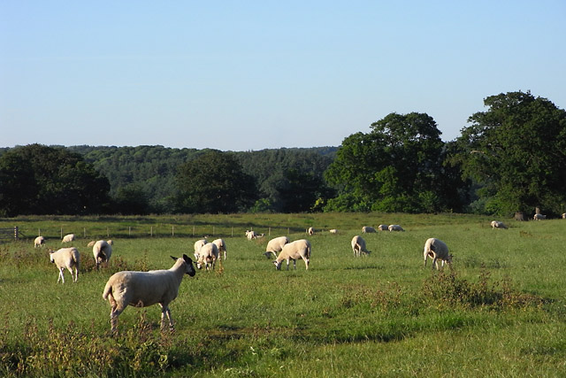
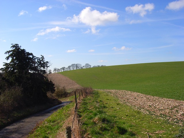
Crockmore Pond, located in Buckinghamshire, is a picturesque freshwater pond encompassing an area of approximately 5 acres. Nestled amidst the serene countryside, it is often referred to as a lake due to its size. The pond is situated in a region known for its natural beauty, offering visitors a tranquil and idyllic setting to enjoy.
This freshwater body, surrounded by lush greenery, serves as a vital habitat for a diverse range of flora and fauna. The pond's calm waters are home to various aquatic plants, including lily pads and reeds, which provide shelter for numerous species of fish and insects. Birdwatchers are often drawn to the pond, as a wide variety of waterfowl, such as ducks, swans, and geese, can be observed gliding gracefully across its surface.
Crockmore Pond is a popular spot for recreational activities, attracting both locals and tourists alike. Fishing enthusiasts frequent the pond, seeking to catch species such as carp, perch, and roach. Additionally, the pond provides a serene setting for boating and kayaking, allowing visitors to immerse themselves in nature while enjoying a peaceful paddle on the water.
Surrounding the pond is a verdant landscape dotted with walking trails, making it a favored destination for nature walks and picnics. Visitors can explore the area's natural beauty and encounter an array of wildlife, including butterflies, dragonflies, and various small mammals.
Overall, Crockmore Pond offers a haven of tranquility for nature lovers, providing a scenic backdrop for various recreational activities and the opportunity to appreciate the rich biodiversity of Buckinghamshire's countryside.
If you have any feedback on the listing, please let us know in the comments section below.
Crockmore Pond Images
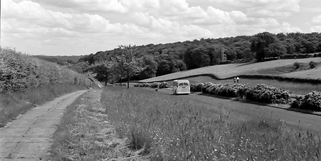
Images are sourced within 2km of 51.564535/-0.92152478 or Grid Reference SU7485. Thanks to Geograph Open Source API. All images are credited.


Crockmore Pond is located at Grid Ref: SU7485 (Lat: 51.564535, Lng: -0.92152478)
Administrative County: Oxfordshire
District: South Oxfordshire
Police Authority: Thames Valley
What 3 Words
///fashion.scam.trickster. Near Remenham, Berkshire
Nearby Locations
Related Wikis
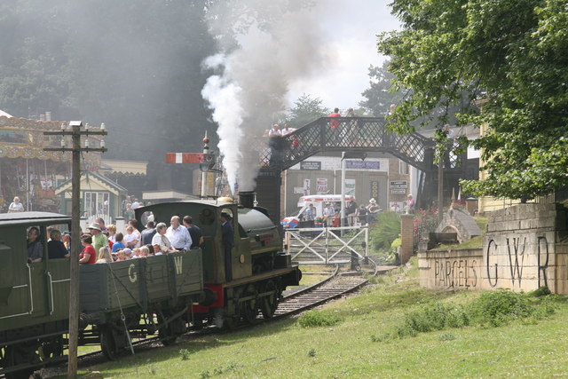
Fawley Hill Railway
Fawley Hill Railway is a privately owned heritage railway on the Fawley Hill estate of the late Sir William McAlpine at Fawley in Buckinghamshire, England...

Henley Park
Henley Park is a country house and landscape garden in Bix and Assendon civil parish in the Chiltern Hills of South Oxfordshire, England. The house is...

Middle Assendon
Middle Assendon is a village in the Stonor valley in the Chiltern Hills. It is about 2 miles (3.2 km) northwest of Henley-on-Thames in South Oxfordshire...
Lower Assendon
Lower Assendon is a village in the Assendon valley in the Chiltern Hills, about 1.5 miles (2.4 km) northwest of Henley-on-Thames in South Oxfordshire...
Fawley Bottom
Fawley Bottom is a small village in south Buckinghamshire, England, north of Henley-on-Thames. It is in the civil parish of Fawley. The artist John Piper...

St Mary the Virgin's Church, Fawley
St Mary the Virgin's Church is in centre of the village of Fawley, Buckinghamshire, England. It is an active Anglican parish church on the deanery of Wycombe...

Bix and Assendon
Bix and Assendon, formerly just Bix is a mainly rural civil parish in the high Chilterns just north of Henley-on-Thames in South Oxfordshire, in the county...
Fawley, Buckinghamshire
Fawley is a village and civil parish in Wycombe district in the south-western corner of Buckinghamshire, England. It is on the boundary between Buckinghamshire...
Nearby Amenities
Located within 500m of 51.564535,-0.92152478Have you been to Crockmore Pond?
Leave your review of Crockmore Pond below (or comments, questions and feedback).