Round Hill

Hill, Mountain in Oxfordshire South Oxfordshire

England

Round Hill

Pasture, Assendon Sheep grazing to the east of the footpath in Henley Park.
Pasture, Assendon Credit: Andrew Smith

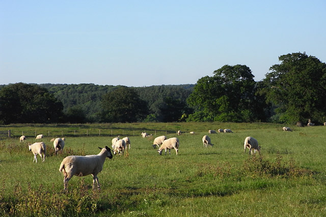
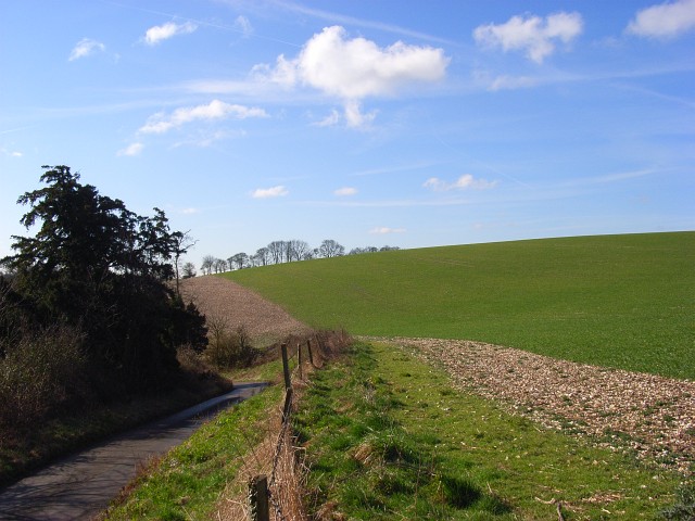
Round Hill is a prominent hill located in Oxfordshire, England. It is situated near the town of Stanton Harcourt, approximately 10 miles west of the city of Oxford. Despite its name, Round Hill is not a mountain but rather a prominent feature within the otherwise gently rolling landscape of the county.

The hill is known for its distinctive rounded shape, which gives it its name. It stands at an elevation of 157 meters (515 feet) above sea level, making it one of the highest points in the surrounding area. From its summit, visitors are rewarded with breathtaking panoramic views of the beautiful Oxfordshire countryside, including the nearby River Thames and the charming villages that dot the landscape.

Round Hill is a designated Site of Special Scientific Interest (SSSI), owing to its unique geological and ecological significance. The hill is composed primarily of limestone, which has led to the formation of several caves and sinkholes in the area. These geological features provide habitats for a diverse range of plant and animal species, including rare and protected species such as horseshoe bats.

The hill is a popular destination for outdoor enthusiasts, offering opportunities for hiking, walking, and nature spotting. Several footpaths and hiking trails traverse the area, allowing visitors to explore its natural beauty at their leisure. Additionally, the nearby Stanton Harcourt village provides amenities such as pubs and cafes, making Round Hill an ideal spot for a day trip or a peaceful retreat in the Oxfordshire countryside.

If you have any feedback on the listing, please let us know in the comments section below.
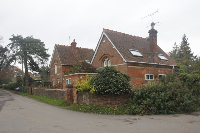
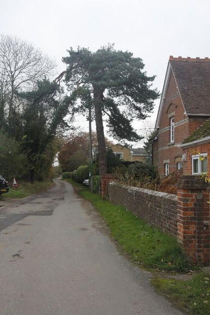
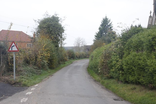
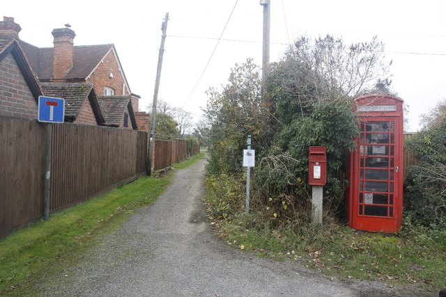
Round Hill Images

Images are sourced within 2km of 51.561954/-0.92548091 or Grid Reference SU7485. Thanks to Geograph Open Source API. All images are credited.

Pasture, Assendon Sheep grazing to the east of the footpath in Henley Park.
Pasture, Assendon
Sheep grazing to the east of the footpath in Henley Park.
Sergeant H W Luker Of the Royal Australian Air force who died 18th June 1943 aged 24. Taken in Fairmile Cemetery Henley. <span class="nowrap"><a title="http://www.lostbombers.co.uk/bomber.php?id=1256" rel="nofollow ugc noopener" href="http://www.lostbombers.co.uk/bomber.php?id=1256">Link</a><img style="margin-left:2px;" alt="External link" title="External link - shift click to open in new window" src="https://s1.geograph.org.uk/img/external.png" width="10" height="10"/></span>
Sergeant H W Luker
Of the Royal Australian Air force who died 18th June 1943 aged 24. Taken in Fairmile Cemetery Henley. LinkExternal link
Trooper G E Mitchell The Headstone behind is inscribed Private A E Ball, the graves are in Fairmile Cemetery Henley.
Trooper G E Mitchell
The Headstone behind is inscribed Private A E Ball, the graves are in Fairmile Cemetery Henley.
St James View of St James at Bix, which is a new church, as the old one is a ruin near Bix Bottom.
St James
View of St James at Bix, which is a new church, as the old one is a ruin near Bix Bottom.
North side of St James View of the north side of St James in Bix which at the moment looks to be having some work done.
North side of St James
View of the north side of St James in Bix which at the moment looks to be having some work done.
The west end The west end of St James at Bix.
The west end
The west end of St James at Bix.
The Chancel End View of the Chancel end of St James at Bix.
The Chancel End
View of the Chancel end of St James at Bix.
Old School from the Church View towards the Old School at Bix, I think the cars are parked up here for the church service which is going on.
Old School from the Church
View towards the Old School at Bix, I think the cars are parked up here for the church service which is going on.
The Old School View of the old School at Bix from near the church.
The Old School
View of the old School at Bix from near the church.
Old Bix Road Road running past the Old School called Old Bix Road, this will take you to Lower Assendon.
Old Bix Road
Road running past the Old School called Old Bix Road, this will take you to Lower Assendon.
Road through Bix The only road through Bix which will bring you to Rectory Lane.
Road through Bix
The only road through Bix which will bring you to Rectory Lane.
Phonebox near the Church Bix Village Phonebox and Postbox just opposite St James, the track beside them is marked as a road though it is no more than a footpath now.
Phonebox near the Church
Bix Village Phonebox and Postbox just opposite St James, the track beside them is marked as a road though it is no more than a footpath now.
Old Bix Road View of the wall on the corner of St James churchyard with church and parish notice boards.
Old Bix Road
View of the wall on the corner of St James churchyard with church and parish notice boards.
Junction with the Carriageway The road Junction at Bix with the Dual Carriageway on the A4130.
Junction with the Carriageway
The road Junction at Bix with the Dual Carriageway on the A4130.
The A4130 near Bix See also: <a href="https://www.geograph.org.uk/photo/2688164">SU7384 : The A4130 near Bix</a>
The A4130 near Bix
The A4130 near Bix See also: <a href="https://www.geograph.org.uk/photo/2688163">SU7384 : The A4130 near Bix</a>
The A4130 near Bix
No entry to the bypass A no entry sign warns motorists not to turn right at the end of Rectory Lane in Bix.
No entry to the bypass
A no entry sign warns motorists not to turn right at the end of Rectory Lane in Bix.
Weather station at the bus stop It might also for collection air quality information on the top of Bix hill.
Weather station at the bus stop
It might also for collection air quality information on the top of Bix hill.
Show me another place!

Round Hill is located at Grid Ref: SU7485 (Lat: 51.561954, Lng: -0.92548091)

Administrative County: Oxfordshire

District: South Oxfordshire

Police Authority: Thames Valley

What 3 Words

///blog.seashell.footsteps. Near Remenham, Berkshire

Related Wikis

Lower Assendon

Lower Assendon is a village in the Assendon valley in the Chiltern Hills, about 1.5 miles (2.4 km) northwest of Henley-on-Thames in South Oxfordshire...

Henley Park

Henley Park is a country house and landscape garden in Bix and Assendon civil parish in the Chiltern Hills of South Oxfordshire, England. The house is...

Middle Assendon

Middle Assendon is a village in the Stonor valley in the Chiltern Hills. It is about 2 miles (3.2 km) northwest of Henley-on-Thames in South Oxfordshire...

Bix and Assendon

Bix and Assendon, formerly just Bix is a mainly rural civil parish in the high Chilterns just north of Henley-on-Thames in South Oxfordshire, in the county...

Fawley Hill Railway

Fawley Hill Railway is a privately owned heritage railway on the Fawley Hill estate of the late Sir William McAlpine at Fawley in Buckinghamshire, England...

Lambridge Wood

Lambridge Wood is a 73.8-hectare (182-acre) biological Site of Special Scientific Interest north-west of Henley-on-Thames in Oxfordshire. It is in the...

Fawley Bottom

Fawley Bottom is a small village in south Buckinghamshire, England, north of Henley-on-Thames. It is in the civil parish of Fawley. The artist John Piper...

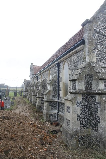
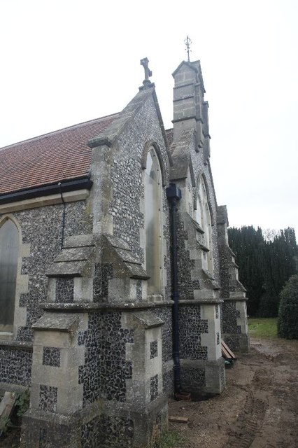
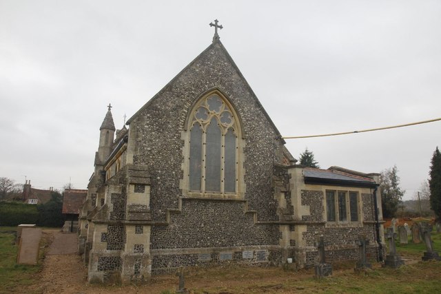
St Mary the Virgin's Church, Fawley

St Mary the Virgin's Church is in centre of the village of Fawley, Buckinghamshire, England. It is an active Anglican parish church on the deanery of Wycombe...

Nearby Amenities

Located within 500m of 51.561954,-0.92548091
Barrier: stile
Foot: yes
Lat/Long: 51.5649317/-0.9239172
Barrier: stile
Foot: yes
Lat/Long: 51.5647466/-0.9214208
Barrier: stile
Bicycle: no
Foot: yes
Material: wood
Stile: stepover
Lat/Long: 51.5650587/-0.9263527
Barrier: stile
Lat/Long: 51.5650634/-0.925841
The data included in this document is from www.openstreetmap.org. The data is made available under ODbL.

Have you been to Round Hill?

Leave your review of Round Hill below (or comments, questions and feedback).