Hill Copse

Wood, Forest in Northamptonshire

England

Hill Copse

Potterspury from the air On the A5 Watling Street north west of Milton Keynes. Viewed from a Birmingham bound flight from Prague.
Potterspury from the air Credit: Thomas Nugent

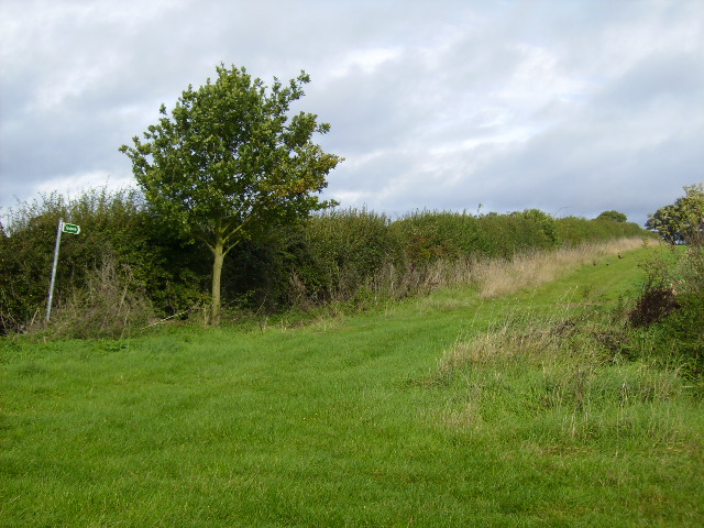
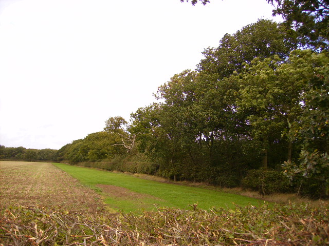
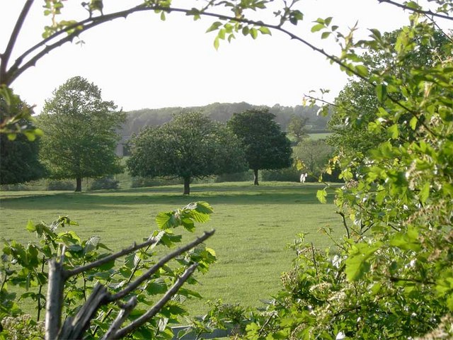
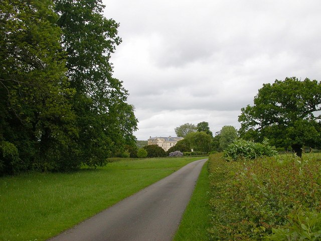
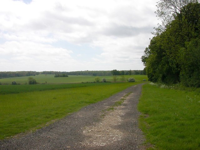
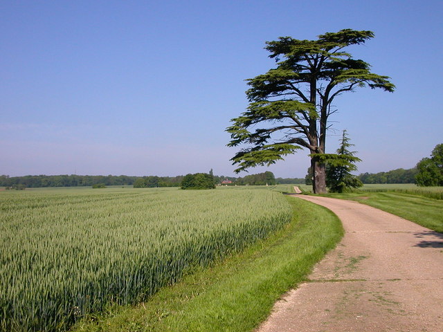
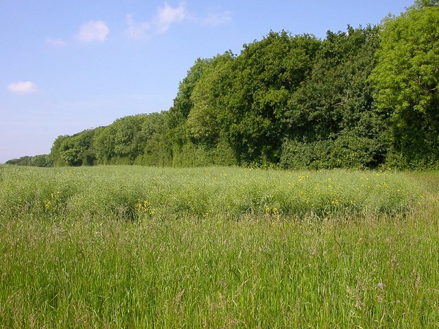
Hill Copse is a picturesque wood located in the county of Northamptonshire, England. Covering an area of approximately 30 hectares, it is one of the most beloved forested areas in the region. The copse is situated on a gentle slope, hence its name, offering visitors stunning views of the surrounding countryside.

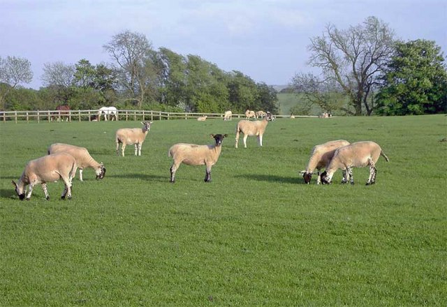
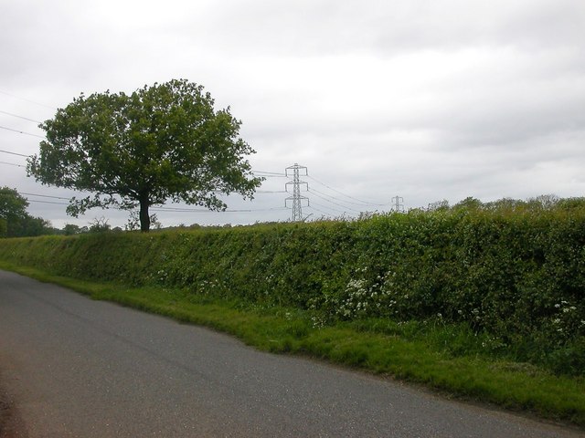
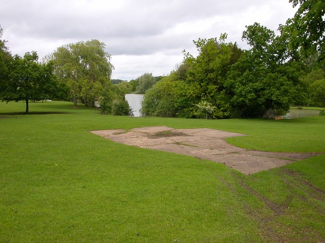
The wood is primarily composed of broadleaf trees, including oak, beech, and ash, which create a dense canopy overhead. These trees provide a welcoming shelter for a variety of wildlife, making Hill Copse a haven for nature enthusiasts. Visitors can often spot a diverse range of bird species, such as woodpeckers, owls, and thrushes, as well as small mammals like squirrels and rabbits.

A network of well-maintained footpaths crisscrosses the copse, allowing visitors to explore its beauty at their leisure. These paths wind through the trees, revealing hidden glades and tranquil clearings, where visitors can pause and soak in the peaceful atmosphere. In spring, the forest floor is adorned with a vibrant display of wildflowers, including bluebells and primroses, creating a colorful carpet beneath the trees.

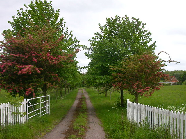
Hill Copse is a popular destination for outdoor activities, such as walking, hiking, and nature photography. It also attracts families looking for a peaceful spot for picnics and nature lovers seeking a quiet retreat. Managed by the local council, the copse is well-preserved and provides a valuable green space for the community.

Overall, Hill Copse in Northamptonshire offers a serene escape amidst nature's beauty, providing a perfect balance between tranquility and adventure for all who visit.

If you have any feedback on the listing, please let us know in the comments section below.
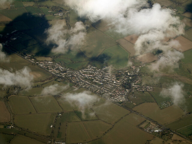
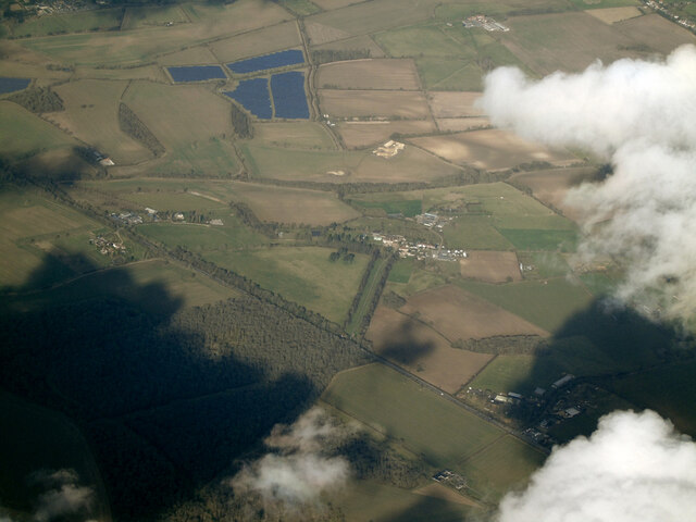
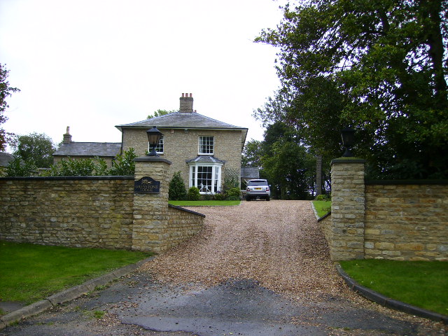
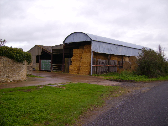
Hill Copse Images

Images are sourced within 2km of 52.071322/-0.92244637 or Grid Reference SP7341. Thanks to Geograph Open Source API. All images are credited.

Potterspury from the air On the A5 Watling Street north west of Milton Keynes. Viewed from a Birmingham bound flight from Prague.
Potterspury from the air
On the A5 Watling Street north west of Milton Keynes. Viewed from a Birmingham bound flight from Prague.
The A5 Watling Street from the air Waterslade Copse is in the foreground, with Potterspury Lodge School at the end of a tree-lined lane on the other side of the road. The residential school supports and educates students with Aspergers Syndrome and other associated challenges within the autistic spectrum.

School web site: <span class="nowrap"><a title="https://www.cambiangroup.com/specialist-education/our-schools/asperger-schools/potterspury-lodge-school/" rel="nofollow ugc noopener" href="https://www.cambiangroup.com/specialist-education/our-schools/asperger-schools/potterspury-lodge-school/">Link</a><img style="margin-left:2px;" alt="External link" title="External link - shift click to open in new window" src="https://s1.geograph.org.uk/img/external.png" width="10" height="10"/></span> .
The A5 Watling Street from the air
Waterslade Copse is in the foreground, with Potterspury Lodge School at the end of a tree-lined lane on the other side of the road. The residential school supports and educates students with Aspergers Syndrome and other associated challenges within the autistic spectrum. School web site: LinkExternal link .
Prestigious home just off the A5 in Potterspury
Barn and farmbuildings north of Puxley
Lane running through Puxley
Footpath to Potterspury
The edge of East Ashalls Copse
Redundant farm buildings north west of Deanshanger
Sheep at Puxley
Sheep at Puxley
View through a hedge Looking northwest into the Wakefield Estate.
View through a hedge
Looking northwest into the Wakefield Estate.
Whittlewood Forest The lane to Townsend Nurseries.
Whittlewood Forest
The lane to Townsend Nurseries.
Whittlewood Forest The point at which the power lines cross the road from Whittlebury to Deanshanger.
Whittlewood Forest
The point at which the power lines cross the road from Whittlebury to Deanshanger.
Wicken Wood The road from Lillingstone Lovell showing East Ashalls Copse.
Wicken Wood
The road from Lillingstone Lovell showing East Ashalls Copse.
Whittlewood Forest Approaching Wakefield Lodge.
Whittlewood Forest
Approaching Wakefield Lodge.
Whittlewood Forest Track going south from Kennels Drive.
Whittlewood Forest
Track going south from Kennels Drive.
Whittlewood Forest The south east corner of the lake near Wakefield Lodge.
Whittlewood Forest
The south east corner of the lake near Wakefield Lodge.
Whittlewood Forest West of Wakefield Farm
Whittlewood Forest
West of Wakefield Farm
Wicken The south east corner of Wicken Wood looking from the Bridleway to Wicken.
Wicken
The south east corner of Wicken Wood looking from the Bridleway to Wicken.
Show me another place!

Hill Copse is located at Grid Ref: SP7341 (Lat: 52.071322, Lng: -0.92244637)

Unitary Authority: West Northamptonshire

Police Authority: Northamptonshire

What 3 Words

///snuggled.eaten.redefined. Near Potterspury, Northamptonshire

Related Wikis

St Mary's Church, Kersey

St Mary's Church is a Grade I listed parish church in the Church of England in Kersey, Suffolk. == The Shrine at St Mary's == In Medieval times St Mary...

Puxley

Puxley is a hamlet in the West Northamptonshire civil parish of Deanshanger. England. It is 6 miles (10 km) west of Milton Keynes

Whittlewood Forest

Whittlewood Forest is a former medieval hunting forest east of Silverstone in Northamptonshire in England. It is managed by the Forestry England. There...

Potterspury

Potterspury is a populous village and civil parish in West Northamptonshire, England. The nearest main town is Milton Keynes, the centre of which is about...

Wicken, Northamptonshire

Wicken is a village and civil parish in the English county of Northamptonshire. It is about one mile north of the A422 road between Milton Keynes and Buckingham...

Wyke Hamon

Wyke Hamon is a manor in Wicken, Northamptonshire, England. In the early 16th century it was owned by John Spencer of the prominent Spencer family of aristocrats...

Potterspury Lodge School

Potterspury Lodge School is a Cambian Group school in Northamptonshire, England. It is an Independent School that caters to children with ASD [autism spectrum...

Moor End Castle

The site of Moor End Castle (historically known as Moreende) is situated opposite Moor End Farm, along Moor End Road in the civil parish of Yardley Gobion...

Nearby Amenities

Located within 500m of 52.071322,-0.92244637
Passing Place
Source: bing
Lat/Long: 52.0728406/-0.9269848
Power: pole
Lat/Long: 52.0755398/-0.9239915
Power: pole
Lat/Long: 52.0749677/-0.9232217
Power: pole
Lat/Long: 52.0743973/-0.9229106
Power: pole
Lat/Long: 52.0733735/-0.9223554
Power: pole
Lat/Long: 52.0720958/-0.9218216
Power: pole
Lat/Long: 52.0711363/-0.9212583
Power: pole
Lat/Long: 52.0702608/-0.9204108
Power: pole
Lat/Long: 52.069941/-0.9187746
Power: pole
Lat/Long: 52.0696557/-0.917396
Power: pole
Lat/Long: 52.0694529/-0.9164304
The data included in this document is from www.openstreetmap.org. The data is made available under ODbL.

Have you been to Hill Copse?

Leave your review of Hill Copse below (or comments, questions and feedback).