Hook Covert
Wood, Forest in Oxfordshire
England
Hook Covert

Hook Covert is a small woodland area located in Oxfordshire, England. Situated near the village of Hook, it covers an area of approximately 50 acres. The woodland is part of the larger Hook Norton Wood, which extends further to the south.
Hook Covert is characterized by its dense and diverse tree canopy, primarily consisting of native species like oak, beech, and birch. These trees create a rich and vibrant habitat for various wildlife, including birds, mammals, and insects. The woodland floor is covered in a thick layer of leaf litter, providing a suitable environment for a wide range of plant species to thrive.
The woodland is crisscrossed by a network of well-maintained footpaths, allowing visitors to explore and enjoy the natural beauty of the area. These paths lead visitors through different sections of the woodland, offering glimpses of the abundant flora and fauna.
In addition to its ecological value, Hook Covert also serves as a recreational space for the local community and visitors alike. The woodland is a popular destination for nature walks, birdwatching, and photography enthusiasts. The tranquil atmosphere and picturesque scenery make it an ideal spot for relaxation and immersion in nature.
Managed by local authorities, Hook Covert is carefully preserved and protected to maintain its natural integrity. The conservation efforts ensure the sustainability of the woodland ecosystem, allowing future generations to appreciate its beauty and biodiversity.
If you have any feedback on the listing, please let us know in the comments section below.
Hook Covert Images
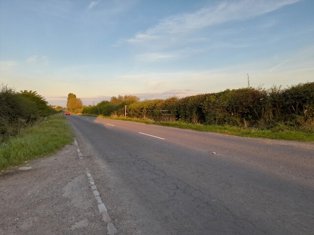
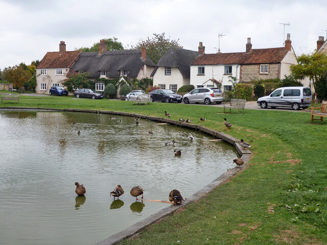
Images are sourced within 2km of 51.760393/-0.92986265 or Grid Reference SP7307. Thanks to Geograph Open Source API. All images are credited.


Hook Covert is located at Grid Ref: SP7307 (Lat: 51.760393, Lng: -0.92986265)
Unitary Authority: Buckinghamshire
Police Authority: Thames Valley
What 3 Words
///alarming.rope.mentioned. Near Haddenham, Buckinghamshire
Nearby Locations
Related Wikis
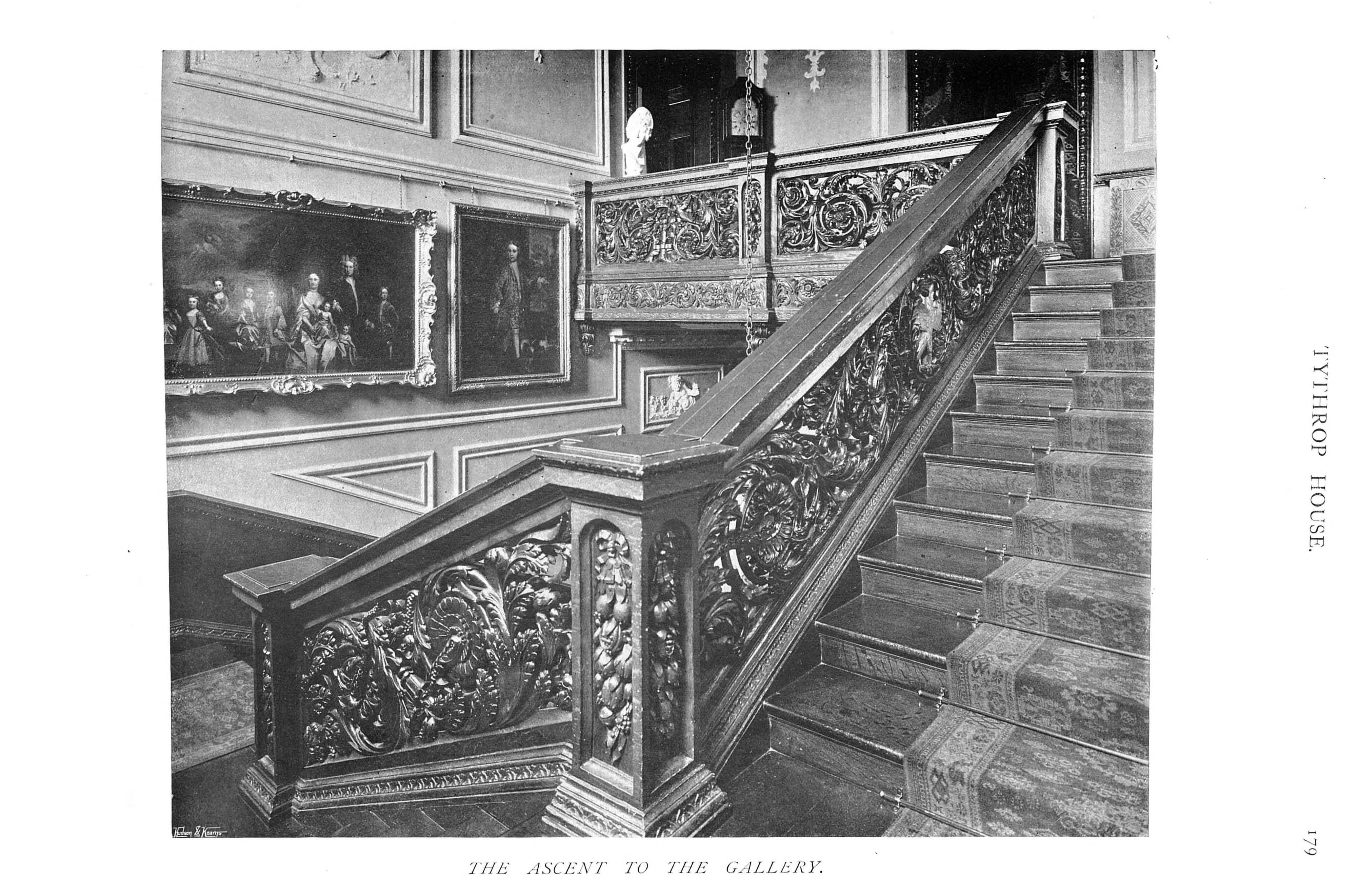
Tythrop Park
Tythrop Park, also known as Tythrop House, is a Grade I–listed 17th-century manor house, set in 51 acres (21 ha) of parkland, in Kingsey, Buckinghamshire...

St Mary's Church, Haddenham
St Mary's Church is the Church of England parish church of Haddenham, Buckinghamshire It is a Grade I listed building. == History == Parts of the church...

Haddenham War Memorial
Haddenham War Memorial is located in Church End, Haddenham, Buckinghamshire, England. It is a grade II listed building with Historic England. It was built...

Kingsey
Kingsey is a small village and civil parish in Aylesbury Vale district in Buckinghamshire, England. It is near the boundary with Oxfordshire, about two...
Nearby Amenities
Located within 500m of 51.760393,-0.92986265Have you been to Hook Covert?
Leave your review of Hook Covert below (or comments, questions and feedback).