West Ashalls Copse
Wood, Forest in Northamptonshire
England
West Ashalls Copse
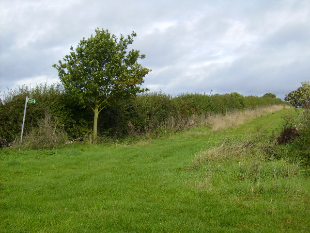
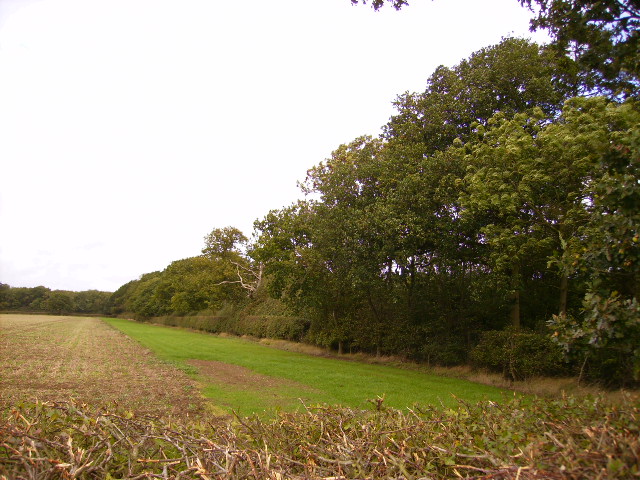
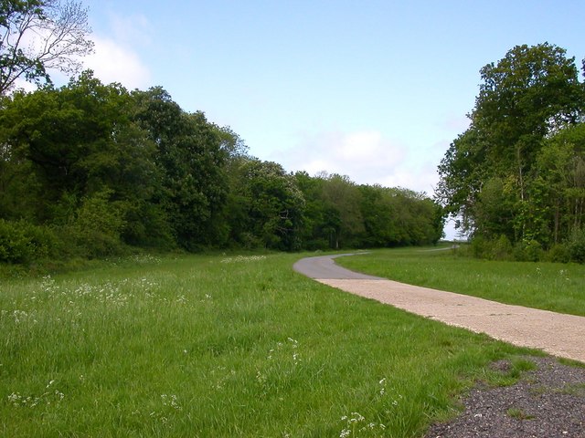
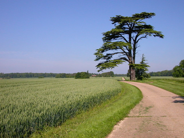
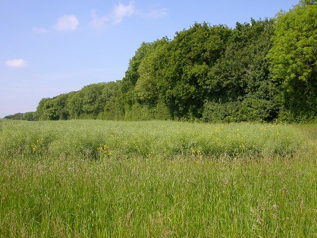
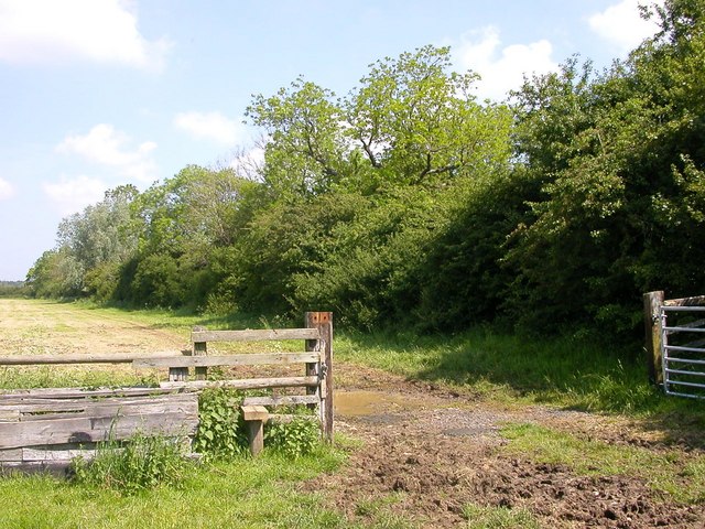
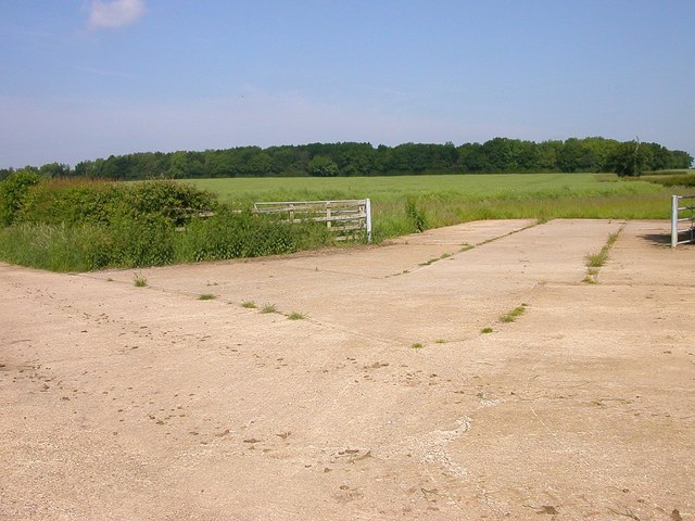
West Ashalls Copse is a woodland located in the county of Northamptonshire, England. It covers an area of approximately 50 acres and is situated in the rural village of Ashalls, near the town of Northampton. The copse is part of a larger forested area known as the Northamptonshire Woodlands.
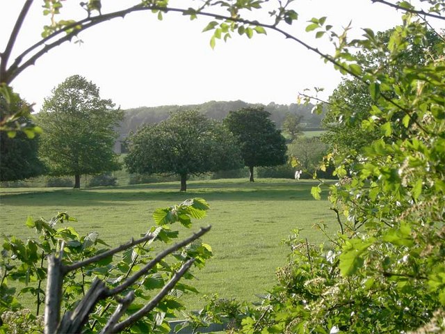
The woodland is predominantly composed of broadleaf trees, including oak, ash, and beech, which create a diverse and vibrant ecosystem. These trees provide a habitat for a variety of wildlife species, such as birds, squirrels, and deer, making it a popular spot for nature enthusiasts and bird watchers.
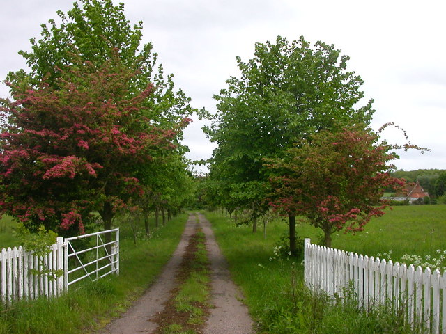
The copse is crisscrossed by a network of well-maintained walking trails, allowing visitors to explore the natural beauty of the area. These trails wind through the dense foliage, providing a peaceful and serene atmosphere for those seeking a break from the hustle and bustle of city life.
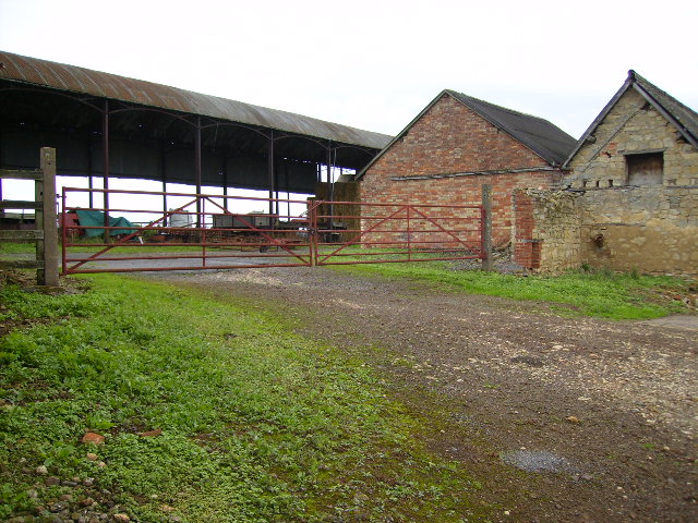
West Ashalls Copse is also known for its rich history. It has been documented that the woodland was once used as a hunting ground for the nobility in medieval times. Remnants of old hunting lodges and gamekeeper's cottages can still be found within the copse, adding a sense of intrigue and nostalgia to the area.
Overall, West Ashalls Copse is a cherished natural treasure in Northamptonshire. Its lush greenery, diverse wildlife, and historical significance make it an ideal destination for nature lovers and history enthusiasts alike.
If you have any feedback on the listing, please let us know in the comments section below.
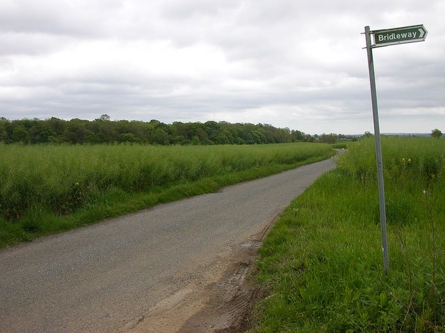
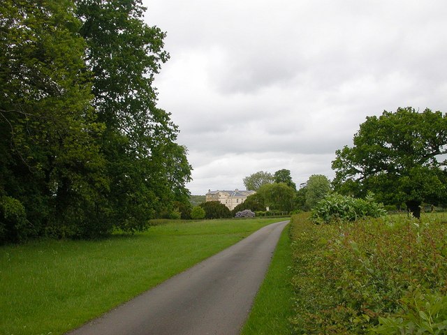
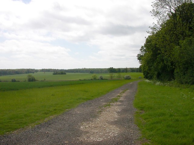
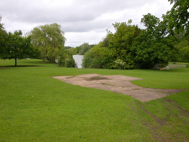
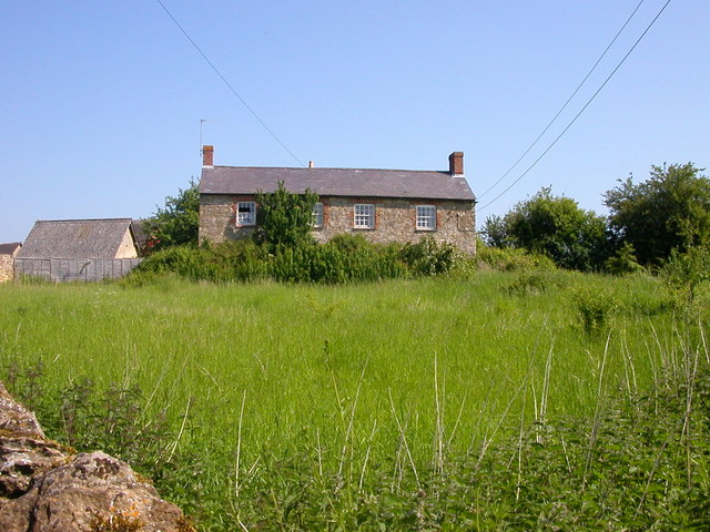
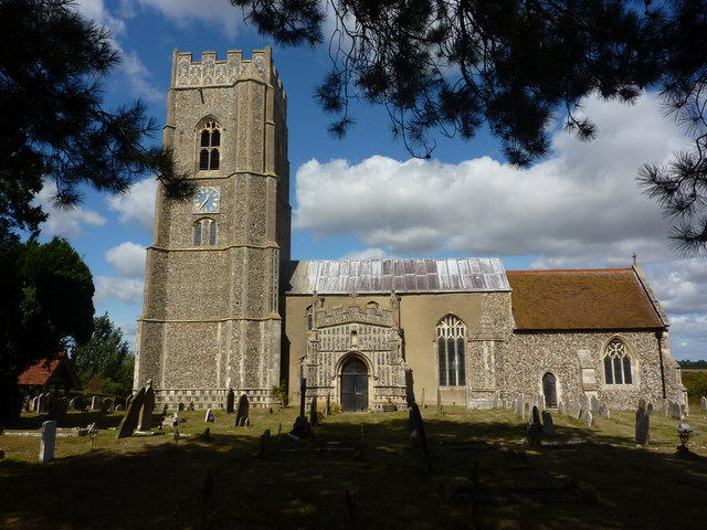
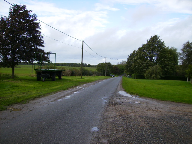
West Ashalls Copse Images
Images are sourced within 2km of 52.069894/-0.93343742 or Grid Reference SP7341. Thanks to Geograph Open Source API. All images are credited.

West Ashalls Copse is located at Grid Ref: SP7341 (Lat: 52.069894, Lng: -0.93343742)
Unitary Authority: West Northamptonshire
Police Authority: Northamptonshire
What 3 Words
///flipper.freezing.capillary. Near Potterspury, Northamptonshire
Nearby Locations
Related Wikis

Whittlewood Forest
Whittlewood Forest is a former medieval hunting forest east of Silverstone in Northamptonshire in England. It is managed by the Forestry England. There...
St Mary's Church, Kersey
St Mary's Church is a Grade I listed parish church in the Church of England in Kersey, Suffolk. == The Shrine at St Mary's == In Medieval times St Mary...
Puxley
Puxley is a hamlet in the West Northamptonshire civil parish of Deanshanger. England. It is 6 miles (10 km) west of Milton Keynes

Lillingstone Lovell
Lillingstone Lovell is a village and civil parish in north Buckinghamshire, England. It is located around 4 miles (6.4 km) north of Buckingham and 8 miles...

Wicken, Northamptonshire
Wicken is a village and civil parish in the English county of Northamptonshire. It is about one mile north of the A422 road between Milton Keynes and Buckingham...
Wyke Hamon
Wyke Hamon is a manor in Wicken, Northamptonshire, England. In the early 16th century it was owned by John Spencer of the prominent Spencer family of aristocrats...

Potterspury
Potterspury is a populous village and civil parish in West Northamptonshire, England. The nearest main town is Milton Keynes, the centre of which is about...
Potterspury Lodge School
Potterspury Lodge School is a Cambian Group school in Northamptonshire, England. It is an Independent School that caters to children with ASD [autism spectrum...
Nearby Amenities
Located within 500m of 52.069894,-0.93343742Have you been to West Ashalls Copse?
Leave your review of West Ashalls Copse below (or comments, questions and feedback).