East Ashalls Copse
Wood, Forest in Northamptonshire
England
East Ashalls Copse
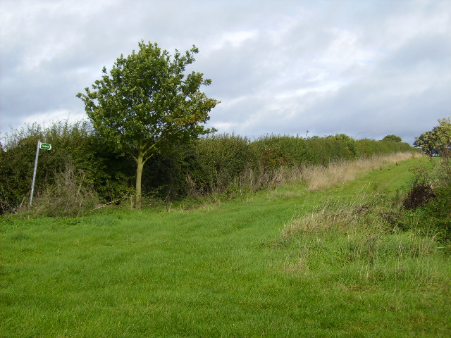
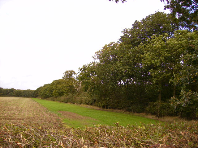
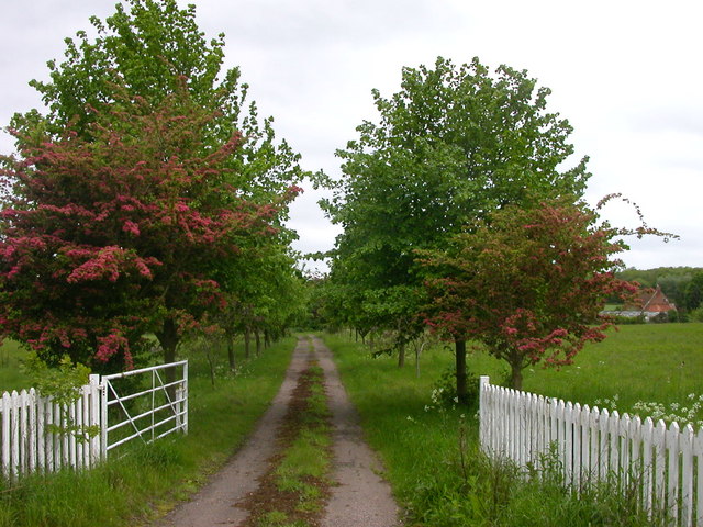
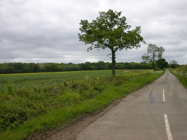
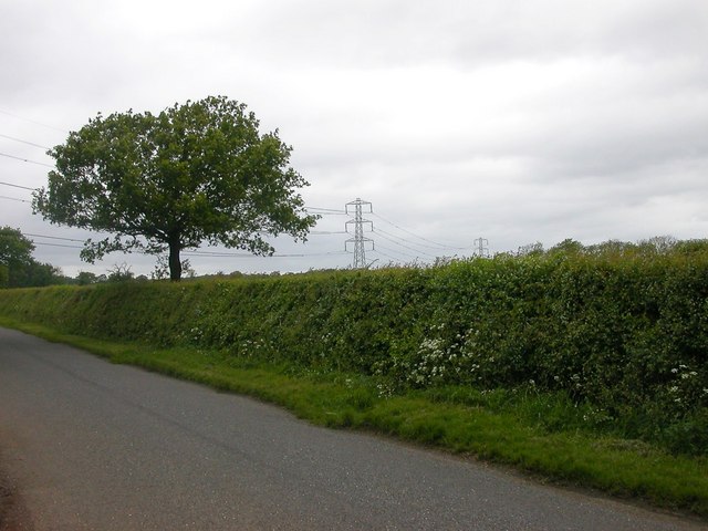
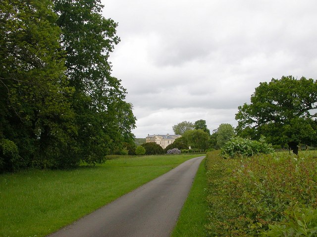
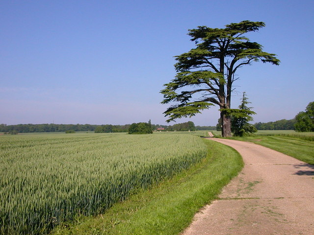
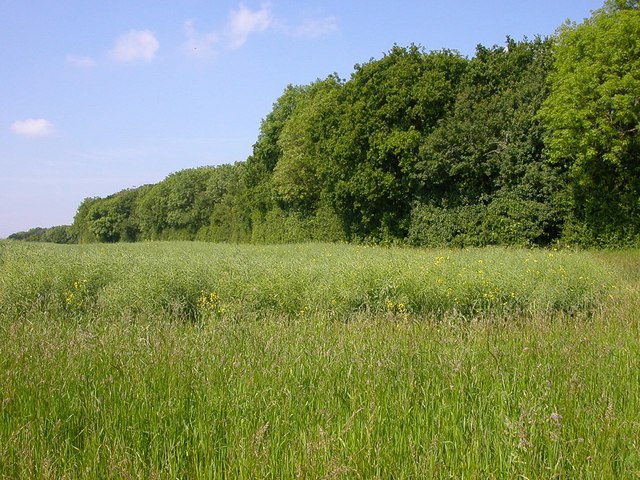
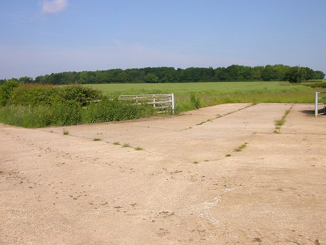
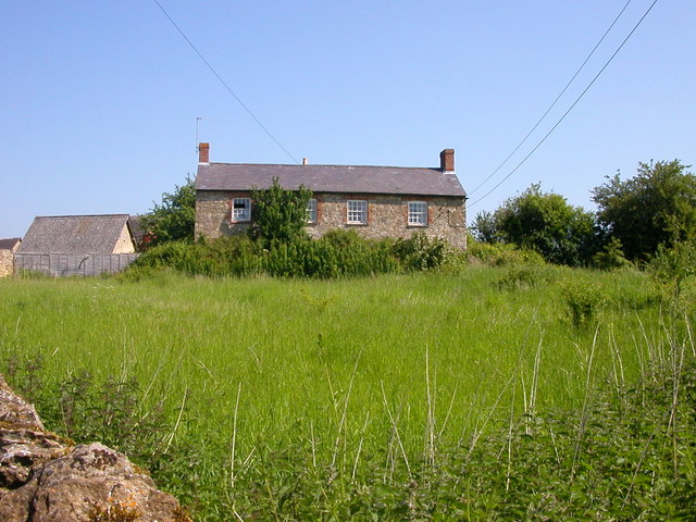
East Ashalls Copse is a small woodland located in the county of Northamptonshire, England. Covering an area of approximately 20 acres, it is situated in close proximity to the village of East Ashalls. The copse is predominantly composed of deciduous trees, including oak, beech, and ash, with a diverse understory of shrubs and wildflowers.
The woodland is known for its rich biodiversity, providing a habitat for a variety of plant and animal species. It is home to several bird species, such as the great tit, blue tit, and robin, which can be frequently observed flitting amongst the branches. Squirrels are also commonly spotted within the copse, scurrying up and down the tree trunks, gathering nuts and acorns.
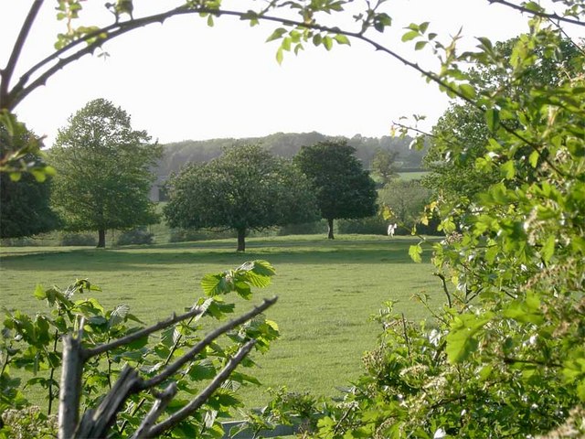
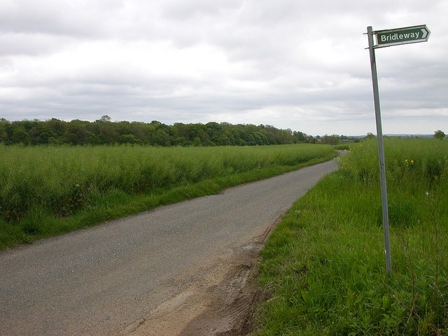
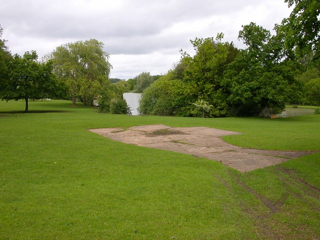
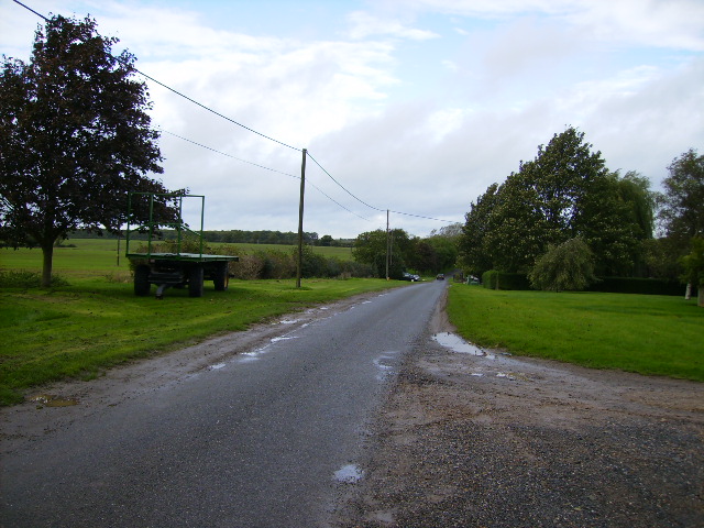
Walking trails wind through the copse, allowing visitors to explore its natural beauty at their own pace. These trails offer stunning views of the surrounding countryside and provide an opportunity for nature enthusiasts to observe and appreciate the diverse flora and fauna. The woodland is particularly popular during the spring and summer months when the forest floor is carpeted with bluebells, primroses, and other wildflowers.
East Ashalls Copse is a cherished natural space for the local community, providing a peaceful retreat from the hustle and bustle of everyday life. It offers a tranquil environment for walking, picnicking, and nature photography, making it a popular destination for outdoor enthusiasts of all ages.
If you have any feedback on the listing, please let us know in the comments section below.
East Ashalls Copse Images
Images are sourced within 2km of 52.067355/-0.92915048 or Grid Reference SP7341. Thanks to Geograph Open Source API. All images are credited.


East Ashalls Copse is located at Grid Ref: SP7341 (Lat: 52.067355, Lng: -0.92915048)
Unitary Authority: West Northamptonshire
Police Authority: Northamptonshire
What 3 Words
///wreck.highly.stress. Near Potterspury, Northamptonshire
Nearby Locations
Related Wikis
St Mary's Church, Kersey
St Mary's Church is a Grade I listed parish church in the Church of England in Kersey, Suffolk. == The Shrine at St Mary's == In Medieval times St Mary...
Puxley
Puxley is a hamlet in the West Northamptonshire civil parish of Deanshanger. England. It is 6 miles (10 km) west of Milton Keynes

Whittlewood Forest
Whittlewood Forest is a former medieval hunting forest east of Silverstone in Northamptonshire in England. It is managed by the Forestry England. There...

Wicken, Northamptonshire
Wicken is a village and civil parish in the English county of Northamptonshire. It is about one mile north of the A422 road between Milton Keynes and Buckingham...
Wyke Hamon
Wyke Hamon is a manor in Wicken, Northamptonshire, England. In the early 16th century it was owned by John Spencer of the prominent Spencer family of aristocrats...

Lillingstone Lovell
Lillingstone Lovell is a village and civil parish in north Buckinghamshire, England. It is located around 4 miles (6.4 km) north of Buckingham and 8 miles...

Potterspury
Potterspury is a populous village and civil parish in West Northamptonshire, England. The nearest main town is Milton Keynes, the centre of which is about...
Deanshanger
Deanshanger () is a village and civil parish in West Northamptonshire, west-northwest of Milton Keynes. In 2007 it was joined with the civil parish of...
Nearby Amenities
Located within 500m of 52.067355,-0.92915048Have you been to East Ashalls Copse?
Leave your review of East Ashalls Copse below (or comments, questions and feedback).