Herrings Land Copse
Wood, Forest in Hampshire East Hampshire
England
Herrings Land Copse
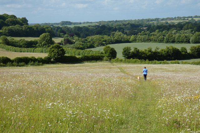
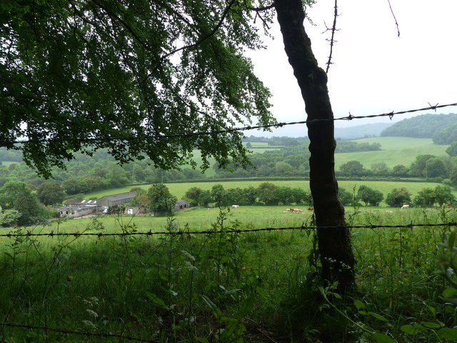
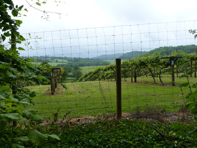
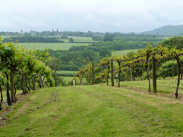
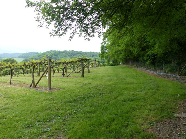
Herrings Land Copse is a picturesque woodland located in Hampshire, England. Covering an area of approximately 100 acres, this forest is known for its diverse range of flora and fauna, making it a popular destination for nature lovers and outdoor enthusiasts alike.
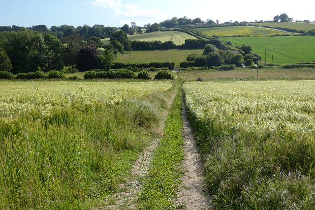
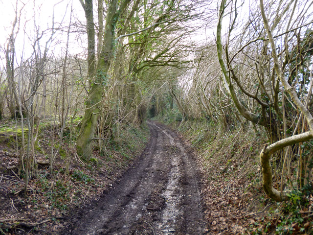
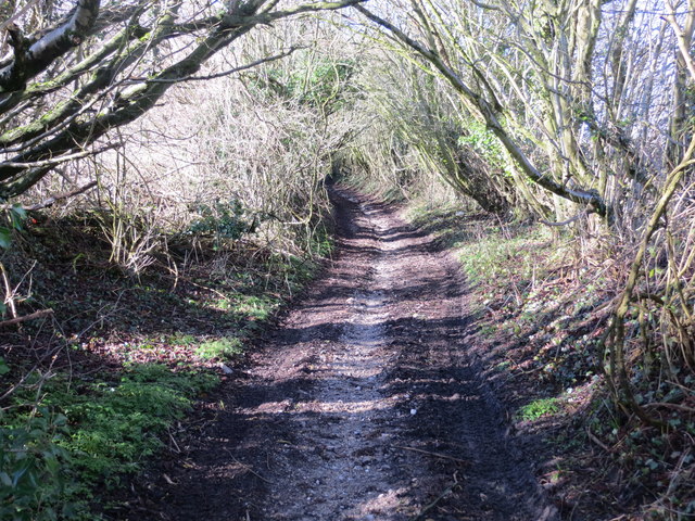
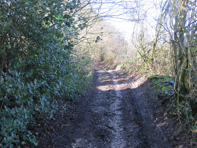
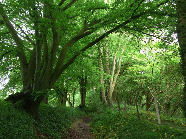
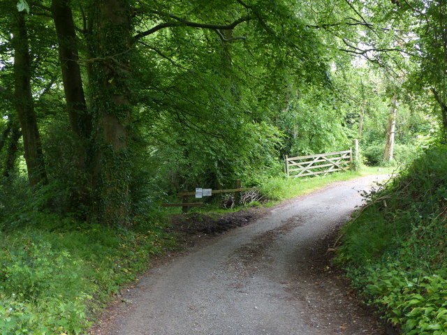
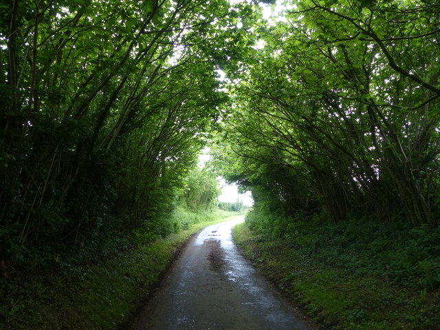
The woodland is characterized by a mix of broadleaf and coniferous trees, including oak, beech, and pine. The dense canopy created by these trees provides a peaceful and shaded environment, making it an ideal spot for walking, hiking, and birdwatching. The forest floor is carpeted with a variety of wildflowers and ferns, adding to its natural beauty.
Herrings Land Copse is home to a rich array of wildlife. Visitors may spot deer, squirrels, and rabbits, as well as a wide range of bird species, including woodpeckers, owls, and finches. The forest also provides a habitat for numerous insects and small mammals, contributing to its biodiversity.
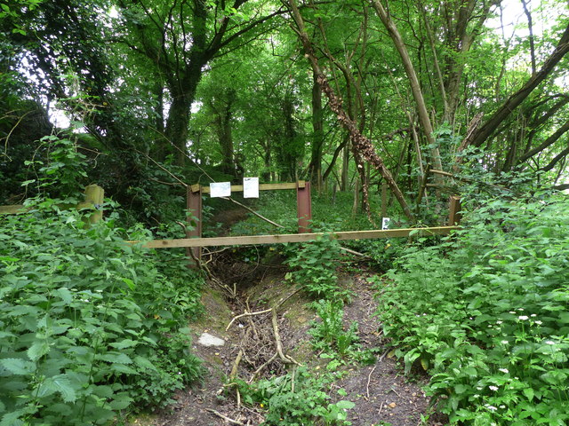
The woodland offers several well-maintained trails and paths, allowing visitors to explore its beauty at their own pace. In addition, there are picnic areas and benches scattered throughout the forest, providing opportunities for visitors to relax and enjoy the tranquility of their surroundings.
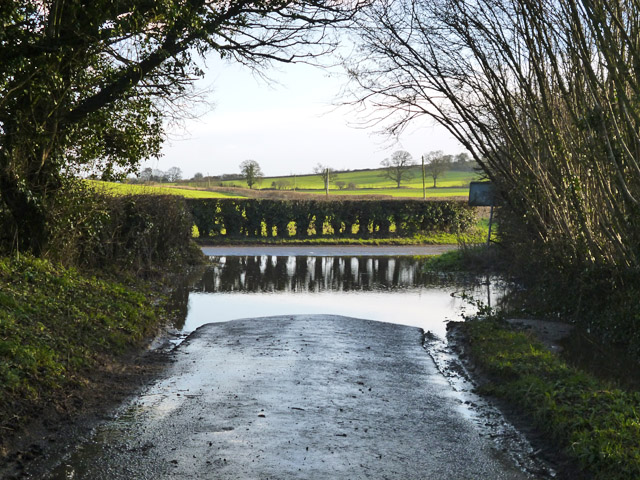
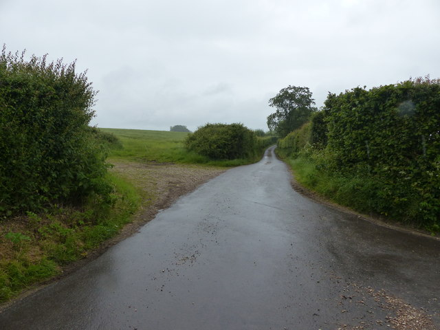
Herrings Land Copse is easily accessible, with ample parking available nearby. The forest is open to the public year-round, although it is particularly stunning during the spring and autumn months when the trees are in full bloom or adorned with vibrant foliage.
Overall, Herrings Land Copse offers a captivating and serene natural environment, making it a cherished destination for those seeking solace amidst the beauty of Hampshire's woodlands.
If you have any feedback on the listing, please let us know in the comments section below.
Herrings Land Copse Images
Images are sourced within 2km of 51.072419/-0.95656689 or Grid Reference SU7330. Thanks to Geograph Open Source API. All images are credited.


Herrings Land Copse is located at Grid Ref: SU7330 (Lat: 51.072419, Lng: -0.95656689)
Administrative County: Hampshire
District: East Hampshire
Police Authority: Hampshire
What 3 Words
///dishing.mixing.bond. Near Liss, Hampshire
Nearby Locations
Related Wikis

Goleigh Hill
Goleigh Hill is one of the highest points in the county of Hampshire, England. It is part of the Hampshire Downs and reaches a height of 220 metres (720...

Priors Dean
Priors Dean is a hamlet in the Hampshire Downs about 3 miles (5 km) west of Liss and about 4 miles (6.4 km) north of Petersfield, Hampshire, England. It...

Noar Hill
Noar Hill is a 63-hectare (160-acre) biological Site of Special Scientific Interest south of Selborne in Hampshire. It is a Nature Conservation Review...

Newton Valence
Newton Valence is a village and civil parish in the East Hampshire district of Hampshire, England. It is 4.4 miles (7.1 km) south of Alton, just off the...

Empshott
Empshott is a village and former civil parish, now in the parish of Hawkley, in the East Hampshire district of Hampshire, England. It lies 3.5 miles (5...
Hawkley
Hawkley is a village, ecclesiastical parish and civil parish in the East Hampshire district of Hampshire, England. It is 3.5 miles (5.7 km) north of Petersfield...

Upper Greensand Hangers: Empshott to Hawkley
Upper Greensand Hangers: Empshott to Hawkley is a 37.7-hectare (93-acre) biological Site of Special Scientific Interest north of Petersfield in Hampshire...

Selborne Hill
Selborne Hill is one of the highest points in the county of Hampshire, England. It is one of the East Hampshire Hangers, a line of prominent hills on the...
Nearby Amenities
Located within 500m of 51.072419,-0.95656689Have you been to Herrings Land Copse?
Leave your review of Herrings Land Copse below (or comments, questions and feedback).