Jig's Wood
Wood, Forest in Hampshire East Hampshire
England
Jig's Wood
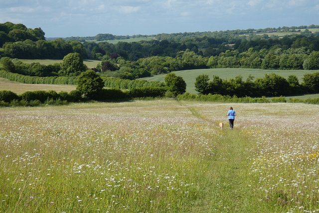
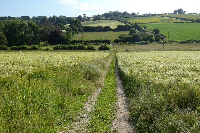
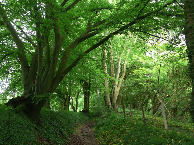
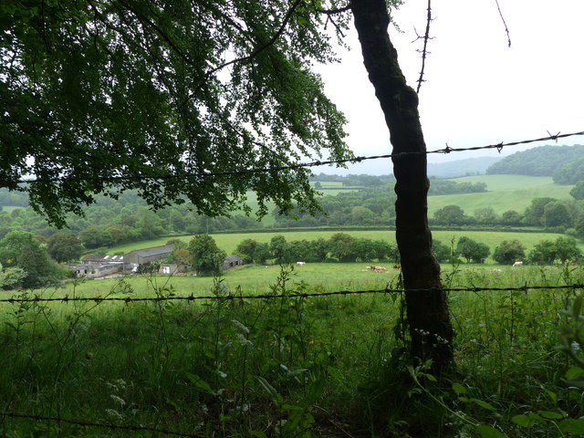
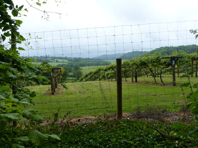
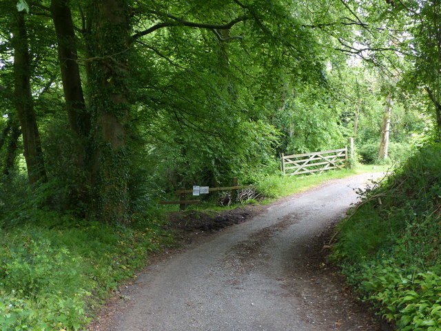
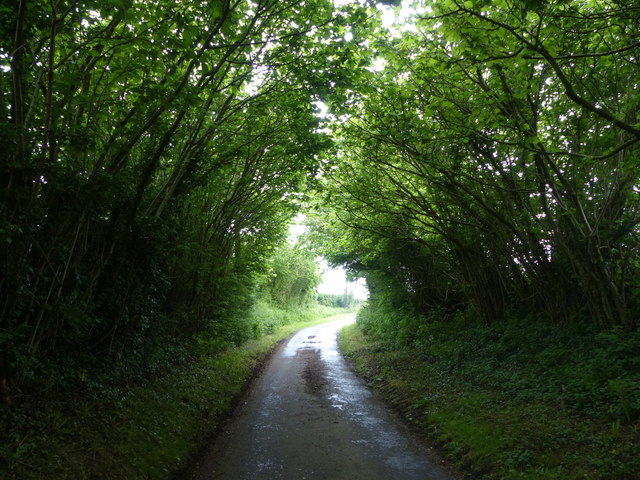
Jig's Wood is a picturesque forest located in the county of Hampshire, England. Nestled amidst the rolling hills and lush greenery, it covers an area of approximately 100 acres. The wood is predominantly made up of a mix of broadleaf trees, including oak, beech, and ash, which create a diverse and enchanting landscape.
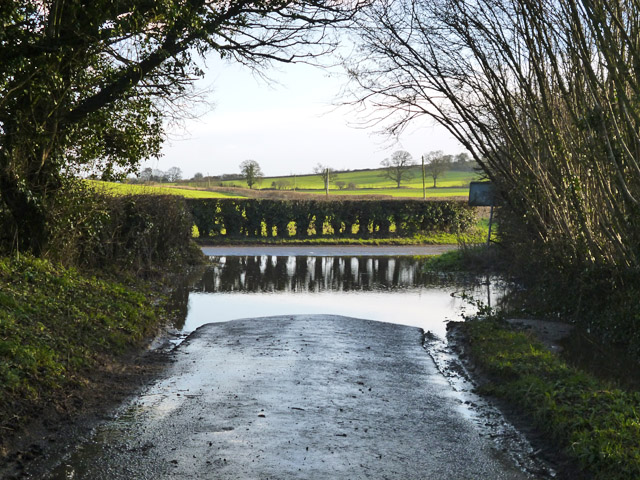
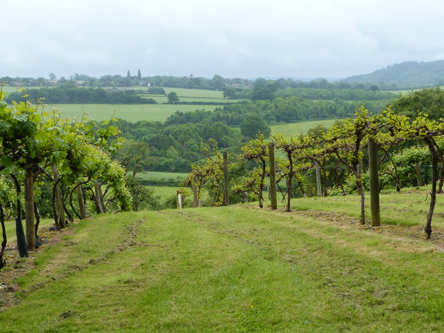
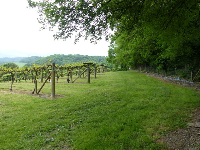
The wood is renowned for its natural beauty and is a popular destination for outdoor enthusiasts and nature lovers. It offers a tranquil escape from the hustle and bustle of urban life, providing visitors with a peaceful and serene environment to explore.
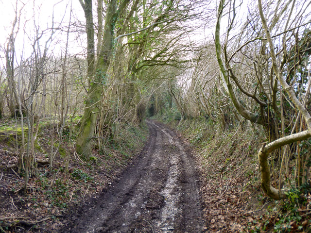
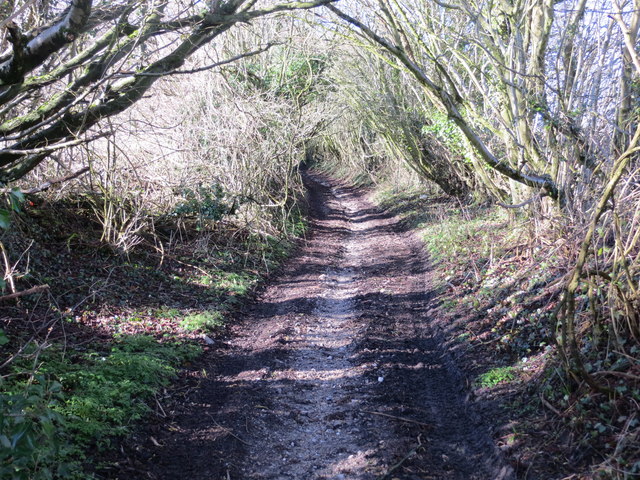
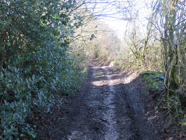
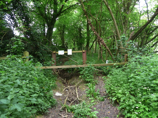
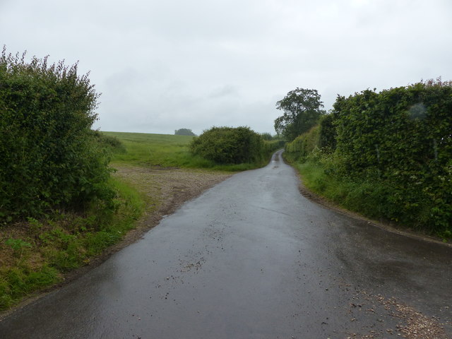
There are several well-maintained pathways that wind their way through the wood, allowing visitors to easily navigate and discover its hidden gems. These paths are perfect for leisurely walks, jogging, or cycling, offering a chance to fully immerse oneself in the beauty of nature.
Jig's Wood is also home to a rich variety of wildlife, making it a haven for birdwatchers and wildlife enthusiasts. The wood provides a habitat for numerous bird species, including woodpeckers, owls, and various songbirds. It is not uncommon to spot deer, squirrels, and other small mammals while exploring the forest.
The wood is open to the public year-round, and there are no entrance fees or restrictions. It is well-maintained by the local authorities, ensuring the preservation of its natural beauty. Jig's Wood truly offers a delightful retreat for those seeking a peaceful and immersive experience in the heart of Hampshire's countryside.
If you have any feedback on the listing, please let us know in the comments section below.
Jig's Wood Images
Images are sourced within 2km of 51.072293/-0.95558485 or Grid Reference SU7330. Thanks to Geograph Open Source API. All images are credited.


Jig's Wood is located at Grid Ref: SU7330 (Lat: 51.072293, Lng: -0.95558485)
Administrative County: Hampshire
District: East Hampshire
Police Authority: Hampshire
What 3 Words
///tycoons.palettes.partners. Near Liss, Hampshire
Nearby Locations
Related Wikis

Goleigh Hill
Goleigh Hill is one of the highest points in the county of Hampshire, England. It is part of the Hampshire Downs and reaches a height of 220 metres (720...

Priors Dean
Priors Dean is a hamlet in the Hampshire Downs about 3 miles (5 km) west of Liss and about 4 miles (6.4 km) north of Petersfield, Hampshire, England. It...

Noar Hill
Noar Hill is a 63-hectare (160-acre) biological Site of Special Scientific Interest south of Selborne in Hampshire. It is a Nature Conservation Review...

Empshott
Empshott is a village and former civil parish, now in the parish of Hawkley, in the East Hampshire district of Hampshire, England. It lies 3.5 miles (5...

Newton Valence
Newton Valence is a village and civil parish in the East Hampshire district of Hampshire, England. It is 4.4 miles (7.1 km) south of Alton, just off the...
Hawkley
Hawkley is a village, ecclesiastical parish and civil parish in the East Hampshire district of Hampshire, England. It is 3.5 miles (5.7 km) north of Petersfield...

Upper Greensand Hangers: Empshott to Hawkley
Upper Greensand Hangers: Empshott to Hawkley is a 37.7-hectare (93-acre) biological Site of Special Scientific Interest north of Petersfield in Hampshire...

Selborne Hill
Selborne Hill is one of the highest points in the county of Hampshire, England. It is one of the East Hampshire Hangers, a line of prominent hills on the...
Nearby Amenities
Located within 500m of 51.072293,-0.95558485Have you been to Jig's Wood?
Leave your review of Jig's Wood below (or comments, questions and feedback).