Skipster Hagg Wood
Wood, Forest in Yorkshire Ryedale
England
Skipster Hagg Wood

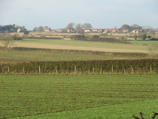
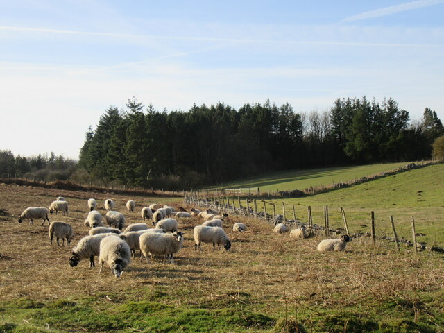
Skipster Hagg Wood is a stunning woodland area located in the county of Yorkshire, England. Covering an expansive area of approximately 150 acres, this enchanting forest is a haven for nature lovers and outdoor enthusiasts alike.
The wood is primarily composed of a mixture of deciduous and coniferous trees, including oak, beech, birch, and pine. These tall, majestic trees create a dense canopy that provides shelter and habitat for a diverse range of wildlife. The forest floor is adorned with a carpet of wildflowers, ferns, and moss, adding to the wood's natural beauty.
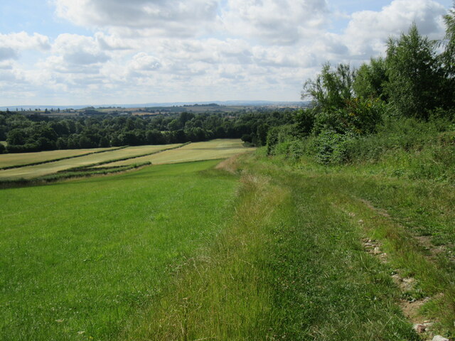
Tranquil and peaceful, Skipster Hagg Wood offers a variety of walking trails and footpaths for visitors to explore. These paths wind through the woods, taking visitors on a journey through different sections of the forest. Along the way, one can discover hidden streams, babbling brooks, and small ponds, all contributing to the wood's serene atmosphere.
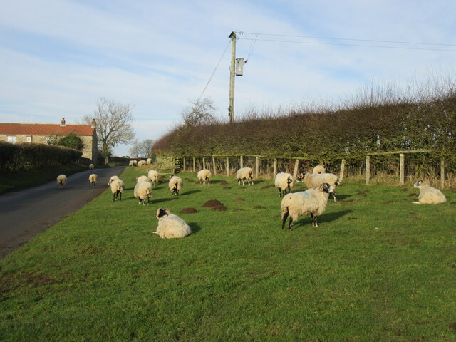
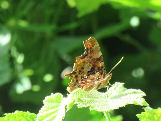
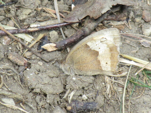
The wood is also home to a rich array of wildlife. Birdwatchers can spot a variety of species, including woodpeckers, owls, and songbirds. Mammals such as deer, squirrels, and rabbits can also be seen amidst the trees, adding to the woodland's charm.
Skipster Hagg Wood is a popular destination for both locals and tourists seeking a peaceful retreat in nature. The wood offers a true escape from the hustle and bustle of everyday life, providing an opportunity to reconnect with the natural world. Whether it's a leisurely stroll or a more adventurous hike, this woodland gem promises a memorable experience for all who visit.
If you have any feedback on the listing, please let us know in the comments section below.
Skipster Hagg Wood Images
Images are sourced within 2km of 54.270266/-0.87752127 or Grid Reference SE7386. Thanks to Geograph Open Source API. All images are credited.


Skipster Hagg Wood is located at Grid Ref: SE7386 (Lat: 54.270266, Lng: -0.87752127)
Division: North Riding
Administrative County: North Yorkshire
District: Ryedale
Police Authority: North Yorkshire
What 3 Words
///presuming.maple.dripped. Near Kirkbymoorside, North Yorkshire
Nearby Locations
Related Wikis
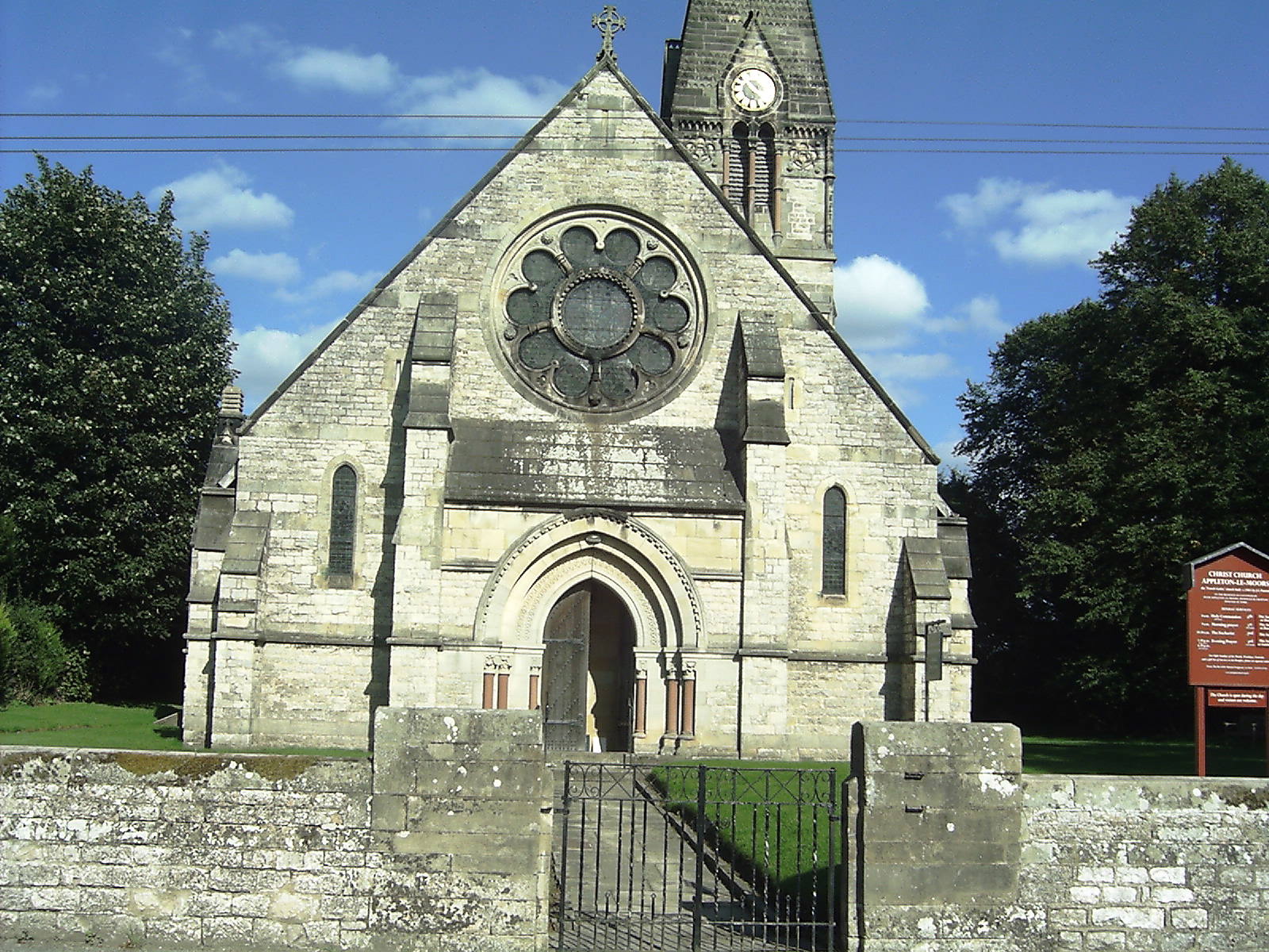
Appleton-le-Moors
Appleton-le-Moors is a village and civil parish in North Yorkshire, England. According to the 2001 census it had a population of 183, reducing to 164 in...

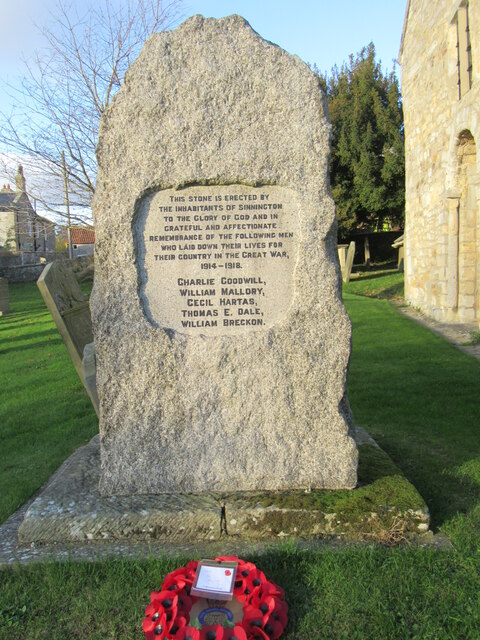
Sinnington
Sinnington is a village and civil parish in North Yorkshire, England. It is located on the southern boundary of the North York Moors National Park. According...

Sinnington railway station
Sinnington railway station was a minor station serving the village of Sinnington in North Yorkshire, England on the former Gilling and Pickering (G&P)...
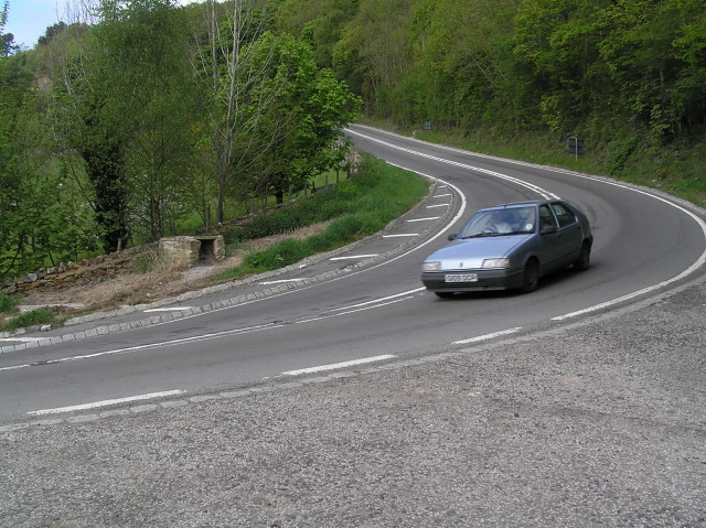
A170 road
The A170 is an A road in North Yorkshire, England that links Thirsk with Scarborough through Hambleton, Helmsley, Kirkbysmoorside, Pickering. The road...

Excalibur Pot
Excalibur Pot is a natural cave in the North York Moors area of England. It is the only major cave known in the North York Moors, and is formed within...
Keldholme Priory
Keldholme Priory was a Cistercian nunnery in Kirkbymoorside, North Yorkshire, England. It was established by one of the Robert de Stutvilles in either...
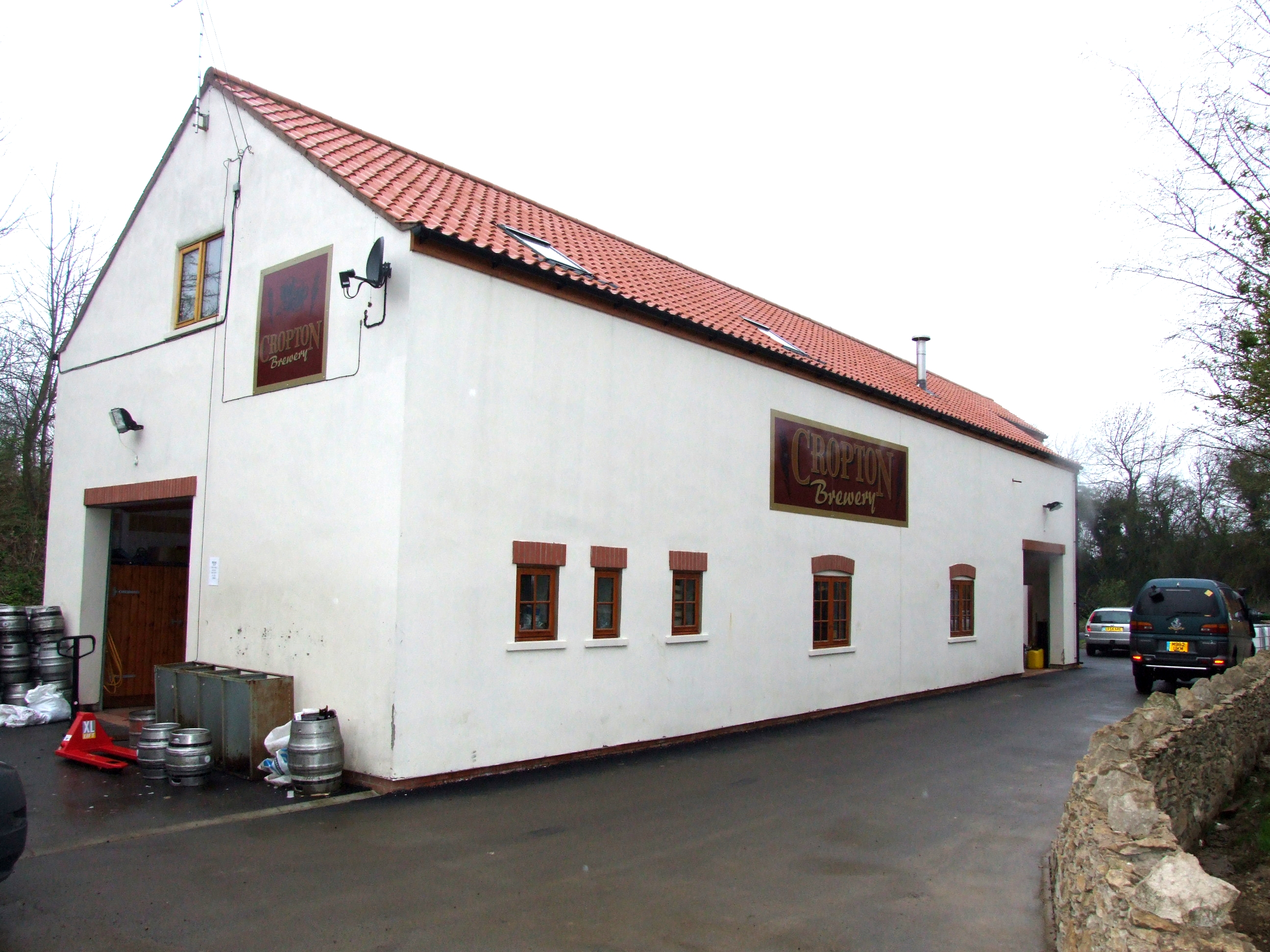
The Great Yorkshire Brewery
The Great Yorkshire Brewery (founded as Cropton Brewery) is situated in the village of Cropton in North Yorkshire, England. Located within the North York...

Wrelton
Wrelton is a village and civil parish in North Yorkshire, England. It is on the A170 road and 2 miles west of Pickering. == History == Wrelton is mentioned...
Nearby Amenities
Located within 500m of 54.270266,-0.87752127Have you been to Skipster Hagg Wood?
Leave your review of Skipster Hagg Wood below (or comments, questions and feedback).