Adam's Gorse
Wood, Forest in Leicestershire Melton
England
Adam's Gorse
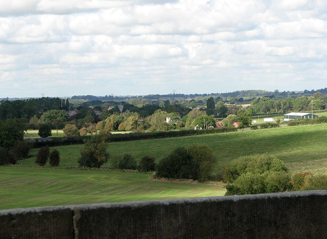
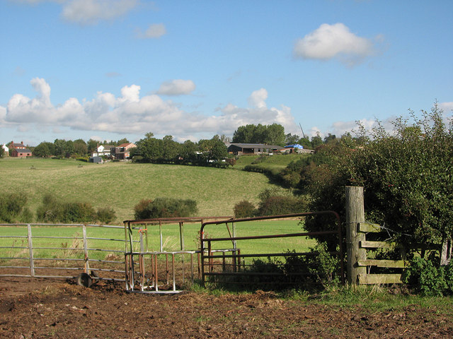
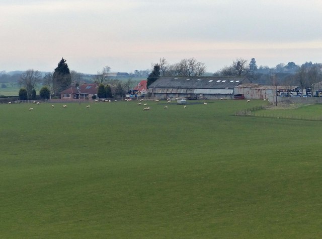
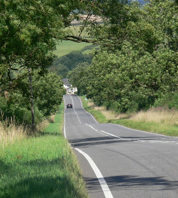
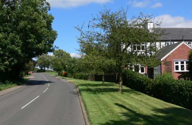
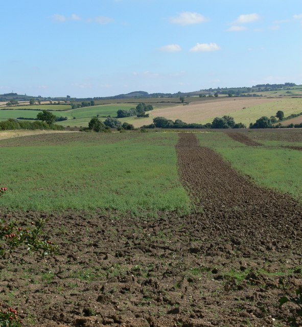
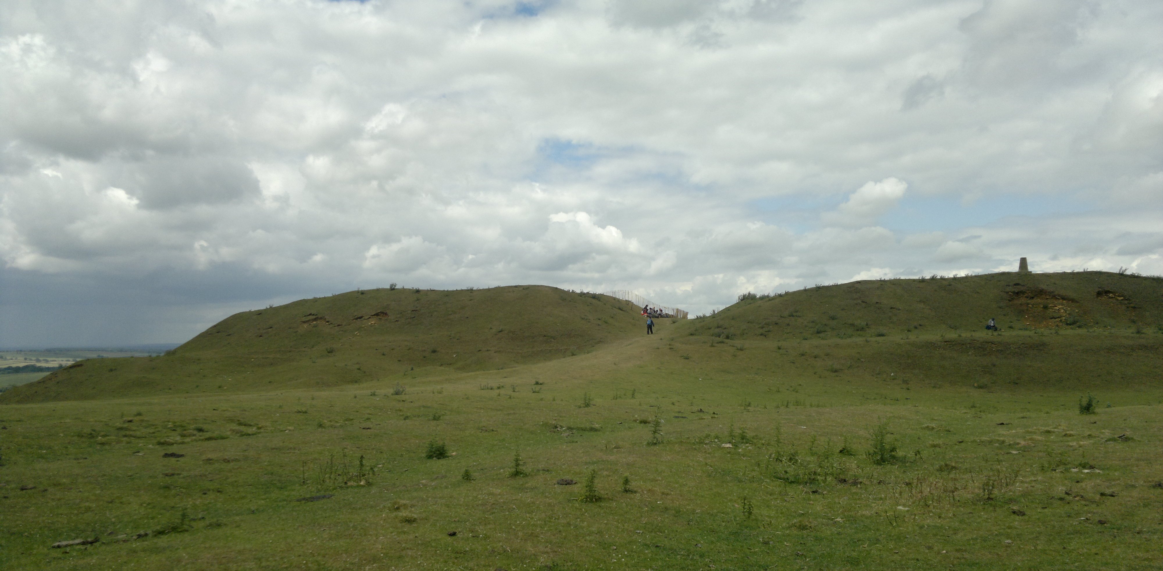
Adam's Gorse is a small woodland located in the county of Leicestershire, England. Situated near the village of Woodhouse Eaves, it covers an area of approximately 10 hectares and is part of the larger Charnwood Forest. The woodland is owned and managed by the local council, serving as a popular recreational spot for nature enthusiasts and walkers.
The site is characterized by its diverse range of tree species, including oak, birch, ash, and beech, which create a dense canopy overhead. Underneath, the forest floor is covered in a rich carpet of wildflowers, such as bluebells, wood anemones, and primroses, adding a burst of color during the spring months. The wood also provides a habitat for various species of birds, small mammals, and insects.
Adam's Gorse is crisscrossed by a network of well-maintained footpaths, allowing visitors to explore the woodland and discover its hidden treasures. The paths wind through ancient trees, offering glimpses of picturesque vistas and providing an opportunity for peaceful reflection. Interpretive signs are placed strategically throughout the site, providing information about the local flora and fauna, as well as the cultural and historical significance of the area.
The woodland is easily accessible, with a car park available nearby, and is free to enter. It offers a serene escape from the hustle and bustle of urban life, providing a chance to connect with nature and enjoy the tranquility of the countryside. Whether it's a leisurely stroll, a birdwatching expedition, or simply a moment of solitude, Adam's Gorse offers something for everyone.
If you have any feedback on the listing, please let us know in the comments section below.
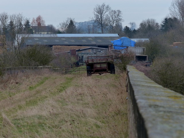
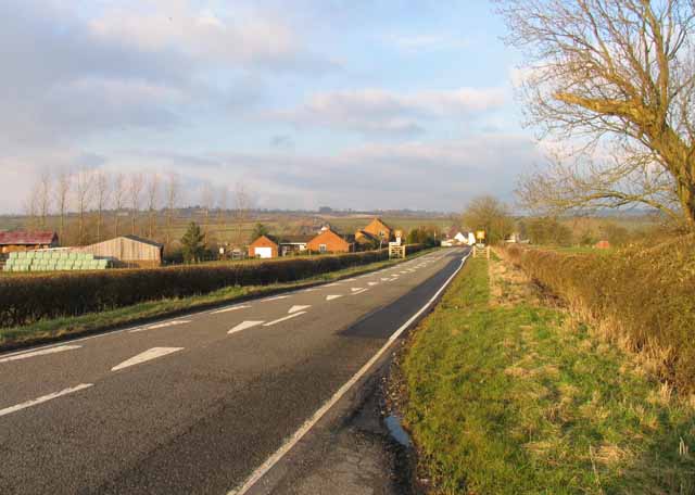
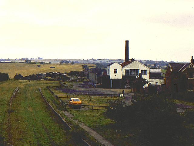
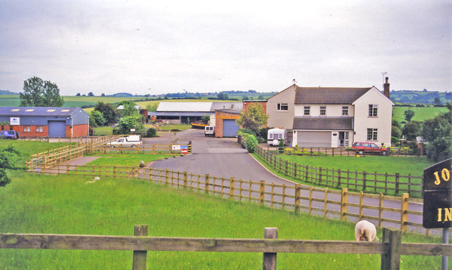
Adam's Gorse Images
Images are sourced within 2km of 52.69445/-0.9072594 or Grid Reference SK7311. Thanks to Geograph Open Source API. All images are credited.
Adam's Gorse is located at Grid Ref: SK7311 (Lat: 52.69445, Lng: -0.9072594)
Administrative County: Leicestershire
District: Melton
Police Authority: Leicestershire
What 3 Words
///lollipop.flames.grills. Near Melton Mowbray, Leicestershire
Nearby Locations
Related Wikis

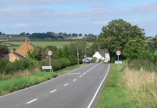
Twyford and Thorpe
Twyford and Thorpe is a civil parish in Leicestershire, England, comprising the villages of Twyford and Thorpe Satchville, and the hamlet of John O'Gaunt...

Burrough Court
Burrough Court is a former stately home in Burrough on the Hill near Melton Mowbray in the East Midlands, England. Burrough Court was once the site of...

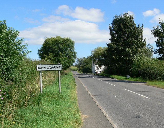
John O'Gaunt, Leicestershire
John O'Gaunt, (properly John O' Gaunt) is a small village in the English county of Leicestershire. The population of the village is included in the civil...

John O' Gaunt railway station
John O'Gaunt railway station was a railway station serving the villages of Twyford, John O'Gaunt and Burrough on the Hill in Leicestershire, England. on...
Burrough on the Hill Manor
Burrough on the Hill Manor is an 18th-century brick-built house in the village of Burrough on the Hill, in the civil parish of Somerby, in the Melton district...
Burrough on the Hill
Burrough-on-the Hill is a small village and former civil parish, now in the parish of Somerby, in the Melton district, in the county of Leicestershire...
Burrough Hill
Burrough Hill is an Iron Age hillfort in Burrough on the Hill, 7 miles (11 km) south of Melton Mowbray in the English county of Leicestershire. Situated...
East Goscote Hundred
East Goscote Hundred was a hundred of Leicestershire, that arose from the division of the ancient Goscote hundred (also known as a Wapentake) into two...
Have you been to Adam's Gorse?
Leave your review of Adam's Gorse below (or comments, questions and feedback).