Twyford and Thorpe

Civil Parish in Leicestershire Melton

England

Twyford and Thorpe

On Thimble Hall Road
On Thimble Hall Road Credit: Dave Thompson

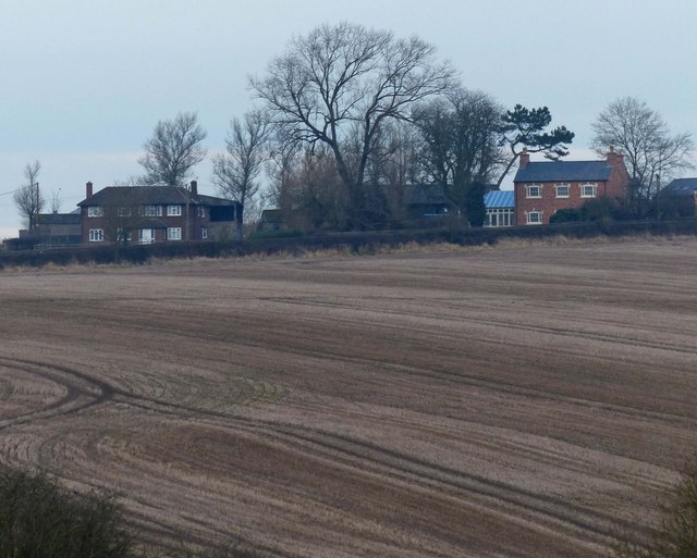
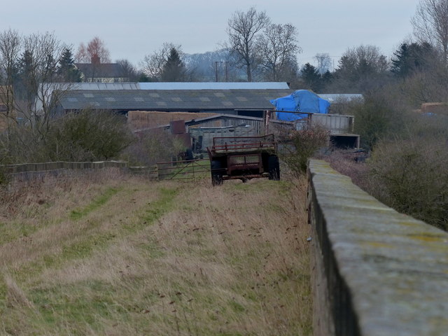
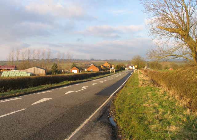
Twyford and Thorpe is a civil parish located in Leicestershire, England. It is situated approximately 10 miles east of Leicester and covers an area of around 5 square miles. The parish is made up of two main villages, Twyford and Thorpe Satchville, as well as several smaller hamlets and scattered farmhouses.

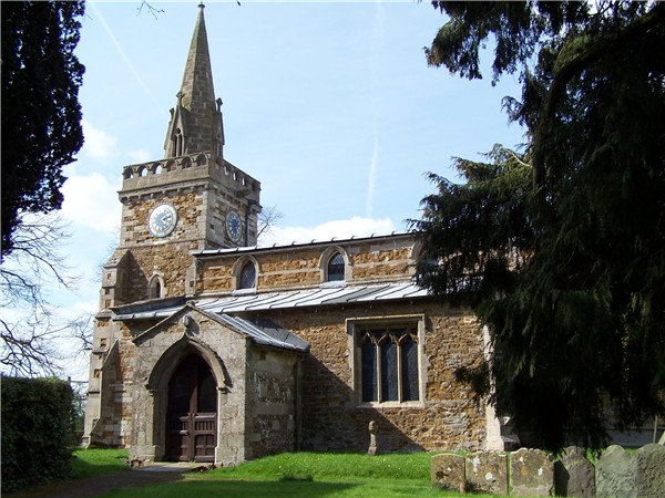
Twyford is the larger of the two villages and is known for its picturesque countryside, charming cottages, and traditional village atmosphere. The village features a range of amenities, including a primary school, a church, a village hall, and a local pub. The surrounding countryside offers beautiful walking and cycling routes, making it a popular destination for outdoor enthusiasts.

Thorpe Satchville is a smaller village located to the northeast of Twyford. It is known for its historic buildings, including Thorpe Satchville Hall, a Grade II listed manor house dating back to the 17th century. The village also has a church and a scattering of residential properties.

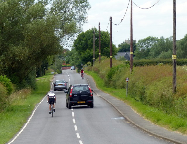
The civil parish of Twyford and Thorpe has a population of around 500 people, with a mix of families, retirees, and professionals. The area is predominantly rural, with a focus on agriculture and farming. It is well-connected to nearby towns and cities, with easy access to the A47 and A606 roads.

Overall, Twyford and Thorpe offer a peaceful and idyllic setting, perfect for those seeking a rural lifestyle within close proximity to urban amenities.

If you have any feedback on the listing, please let us know in the comments section below.

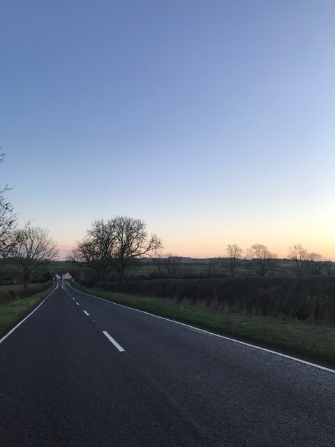
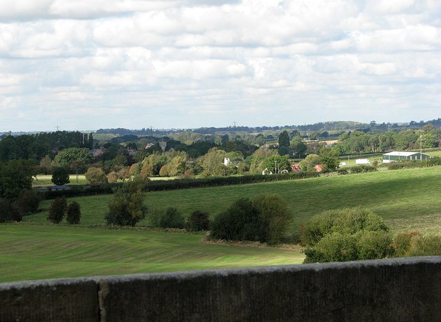
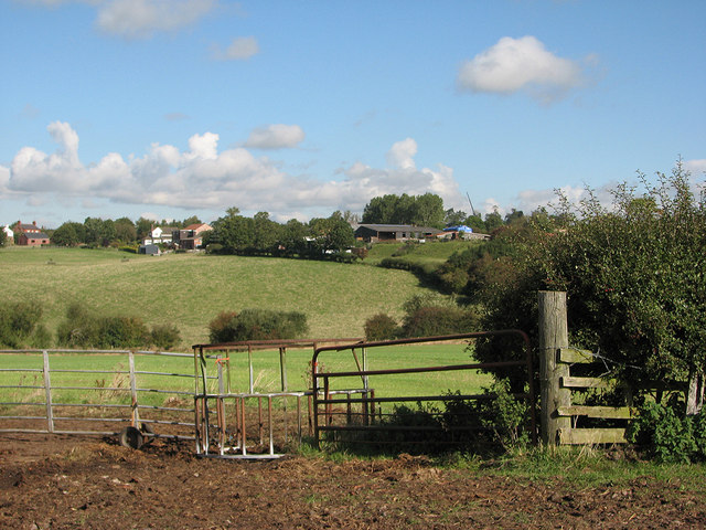
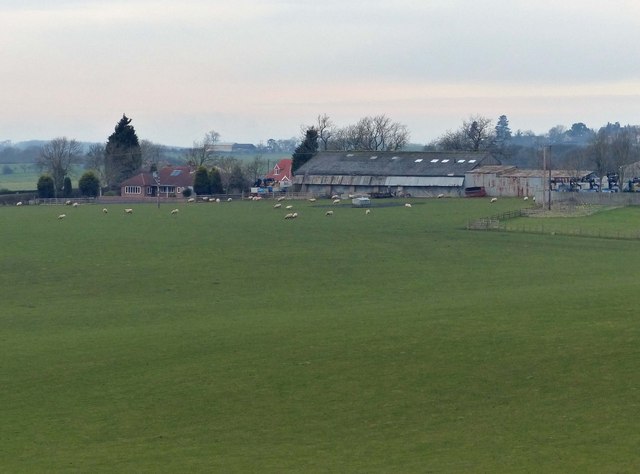
Twyford and Thorpe Images

Images are sourced within 2km of 52.69197/-0.921143 or Grid Reference SK7311. Thanks to Geograph Open Source API. All images are credited.

On Thimble Hall Road
B6047 Heading South Towards Market Harborough
Farmland near Twyford The high ground on the horizon is Burrough Hill.
Farmland near Twyford
The high ground on the horizon is Burrough Hill.
Farmland near Twyford In the distance is the village of Thorpe Satchville.
Farmland near Twyford
In the distance is the village of Thorpe Satchville.
North along the Midshires Way Near Freezeland Lodge.
North along the Midshires Way
Near Freezeland Lodge.
Over the parapet towards Twyford A view from the south end of John O'Gaunt Viaduct. Twyford church tower shows above the trees to the left of centre. The chimney of Ratcliffe-on-Soar power station, over twenty miles away, was visible to the bespectacled eye but does not show on this small image.
Over the parapet towards Twyford
A view from the south end of John O'Gaunt Viaduct. Twyford church tower shows above the trees to the left of centre. The chimney of Ratcliffe-on-Soar power station, over twenty miles away, was visible to the bespectacled eye but does not show on this small image.
Over the valley to John O'Gaunt A view from the Owston footpath towards the little settlement round the former railway station, John O'Gaunt, which served Twyford and Burrough on the Hill.
Over the valley to John O'Gaunt
A view from the Owston footpath towards the little settlement round the former railway station, John O'Gaunt, which served Twyford and Burrough on the Hill.
Heading north along Twyford Road On the left is Lowenva Lodge at John O' Gaunt.
Heading north along Twyford Road
On the left is Lowenva Lodge at John O' Gaunt.
Farm buildings at John O' Gaunt Viewed from the disused John O' Gaunt railway viaduct.
Farm buildings at John O' Gaunt
Viewed from the disused John O' Gaunt railway viaduct.
Highfield Farm near John O' Gaunt Viewed from the disused John O' Gaunt railway viaduct.
Highfield Farm near John O' Gaunt
Viewed from the disused John O' Gaunt railway viaduct.
Farm at the end of the viaduct Viewed from the southern end of the disused John O' Gaunt railway viaduct. The farm is on the site of the former John O' Gaunt railway station, which closed in 1953.
Farm at the end of the viaduct
Viewed from the southern end of the disused John O' Gaunt railway viaduct. The farm is on the site of the former John O' Gaunt railway station, which closed in 1953.
Fields and pylons by Thimble Hall Road
Thimble Hall Road towards Twyford This is the B6047 Market Harborough to Melton Mowbray road.
Thimble Hall Road towards Twyford
This is the B6047 Market Harborough to Melton Mowbray road.
John O'Gaunt station The remains of John O'Gaunt station: the platforms are still in place but the station buildings have been demolished. The milk factory is still standing. The 14-arch John O'Gaunt brick viaduct is in the middle distance.
John O'Gaunt station
The remains of John O'Gaunt station: the platforms are still in place but the station buildings have been demolished. The milk factory is still standing. The 14-arch John O'Gaunt brick viaduct is in the middle distance.
Site of former John o'Gaunt station, 1998 View southward, towards Market Harborough/Leicester: ex-GN&LNW Joint line, Nottingham via Saxondale Junction/Grantham via Bottesford - Market Harborough/Leicester (Belgrave Road). The regular passenger services were withdrawn 7/12/53, but workmen's trains lasted until 29/4/57 and Summer Saturdays trains to Leicester until 9/9/62; freight traffic on this formerly important line continued until 4/11/63.
Site of former John o'Gaunt station, 1998
View southward, towards Market Harborough/Leicester: ex-GN&LNW Joint line, Nottingham via Saxondale Junction/Grantham via Bottesford - Market Harborough/Leicester (Belgrave Road). The regular passenger services were withdrawn 7/12/53, but workmen's trains lasted until 29/4/57 and Summer Saturdays trains to Leicester until 9/9/62; freight traffic on this formerly important line continued until 4/11/63.
Site of John o'Gaunt station, 1998 View southward, towards Market Harborough/Leicester: ex-GN&LNW Joint Railway, Nottingham/Grantham - Market Harborough/Leicester (Belgrave Road) line. For further detail, see <a href="https://www.geograph.org.uk/photo/3705955">SK7409 : Site of former John o'Gaunt station, 1998</a>, which image joins this on the left, also cf. <a href="https://www.geograph.org.uk/photo/3523673">SK7409 : John O'Gaunt station</a>.
Site of John o'Gaunt station, 1998
View southward, towards Market Harborough/Leicester: ex-GN&LNW Joint Railway, Nottingham/Grantham - Market Harborough/Leicester (Belgrave Road) line. For further detail, see SK7409 : Site of former John o'Gaunt station, 1998, which image joins this on the left, also cf. SK7409 : John O'Gaunt station.
Thimble Hall Road near Twyford The B6047 making a long, stepped descent towards Twyford.
Thimble Hall Road near Twyford
The B6047 making a long, stepped descent towards Twyford.
Burrough Road heading towards Twyford
Show me another place!

Twyford and Thorpe is located at Grid Ref: SK7311 (Lat: 52.69197, Lng: -0.921143)

Administrative County: Leicestershire

District: Melton

Police Authority: Leicestershire

What 3 Words

///slogans.shelf.sleepers. Near Asfordby, Leicestershire

Related Wikis

Twyford and Thorpe

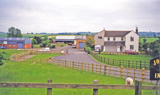
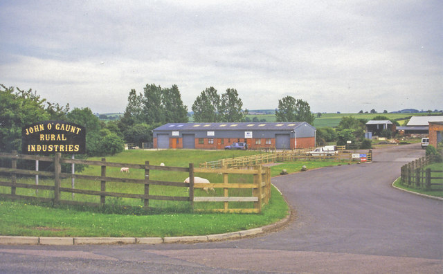
Twyford and Thorpe is a civil parish in Leicestershire, England, comprising the villages of Twyford and Thorpe Satchville, and the hamlet of John O'Gaunt...

John O'Gaunt, Leicestershire

John O'Gaunt, (properly John O' Gaunt) is a small village in the English county of Leicestershire. The population of the village is included in the civil...

John O' Gaunt railway station

John O'Gaunt railway station was a railway station serving the villages of Twyford, John O'Gaunt and Burrough on the Hill in Leicestershire, England. on...

Burrough Court

Burrough Court is a former stately home in Burrough on the Hill near Melton Mowbray in the East Midlands, England. Burrough Court was once the site of...

Ashby Folville Manor

Ashby Folville Manor is a late 19th-century house in Neo-Tudor style in the village of Ashby Folville, Leicestershire. The house was substantially rebuilt...

St Mary's Church, Ashby Folville

St Mary's Church is a church in Ashby Folville, Leicestershire. It is a Grade I listed building. == History == The church was founded in 1220 by Maud Bassett...

Ashby Folville

Ashby Folville is a village and former civil parish, now in the parish of Gaddesby, in the Melton district of Leicestershire, England, south west of Melton...

Burrough on the Hill

Burrough-on-the Hill is a small village and former civil parish, now in the parish of Somerby, in the Melton district, in the county of Leicestershire...

Nearby Amenities

Located within 500m of 52.69197,-0.921143
Place: farm
Lat/Long: 52.6921685/-0.9155942
The data included in this document is from www.openstreetmap.org. The data is made available under ODbL.

Have you been to Twyford and Thorpe?

Leave your review of Twyford and Thorpe below (or comments, questions and feedback).