Thorpe Satchville
Settlement in Leicestershire Melton
England
Thorpe Satchville
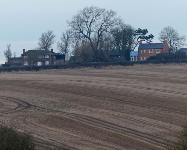
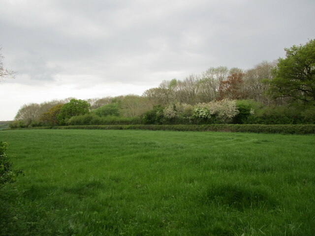
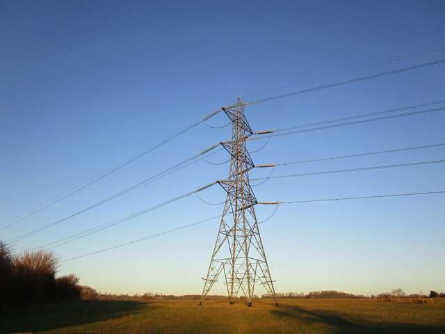
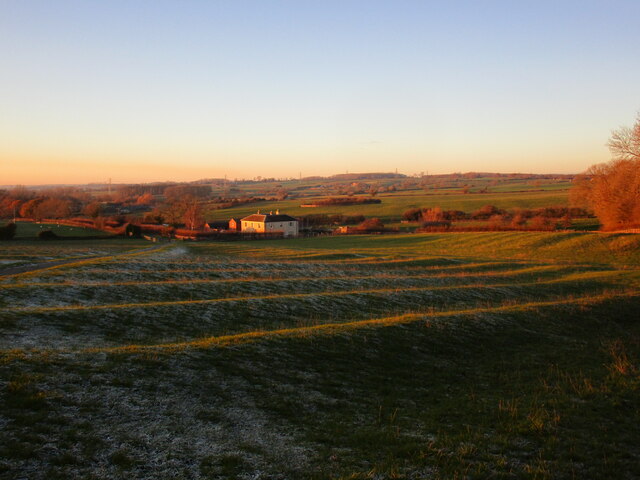
Thorpe Satchville is a small village located in the county of Leicestershire, England. Situated approximately 13 miles east of Leicester city, it falls within the Harborough district. The village is surrounded by picturesque countryside, with rolling hills and farmland characterizing the area.
With a population of around 150 residents, Thorpe Satchville is a close-knit community known for its tranquility and scenic beauty. The village boasts a mix of traditional and modern architecture, with charming cottages and larger houses dotting the landscape. The centerpiece of the village is the 12th-century St. Michael and All Angels Church, a Grade II listed building that adds historical significance to the area.
Despite its small size, Thorpe Satchville offers some amenities to its residents. The village has a well-maintained playground for children and a village hall that hosts various events and social gatherings throughout the year. While there are no shops or pubs in the immediate vicinity, the neighboring villages provide easy access to essential amenities.
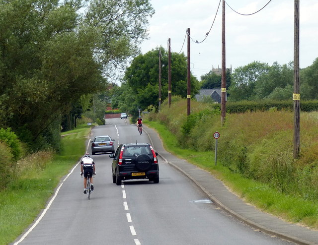
The village is surrounded by numerous footpaths and bridleways, making it an ideal location for nature lovers and outdoor enthusiasts. The nearby Wistow Rural Centre offers a range of activities, including a garden center, farm shop, and a popular maze during the summer months.
In summary, Thorpe Satchville is a quaint and peaceful village in Leicestershire, offering a rural escape with its scenic surroundings and community-driven atmosphere.
If you have any feedback on the listing, please let us know in the comments section below.
Thorpe Satchville Images
Images are sourced within 2km of 52.69823/-0.912613 or Grid Reference SK7311. Thanks to Geograph Open Source API. All images are credited.


Thorpe Satchville is located at Grid Ref: SK7311 (Lat: 52.69823, Lng: -0.912613)
Administrative County: Leicestershire
District: Melton
Police Authority: Leicestershire
What 3 Words
///alley.formally.choice. Near Melton Mowbray, Leicestershire
Nearby Locations
Related Wikis

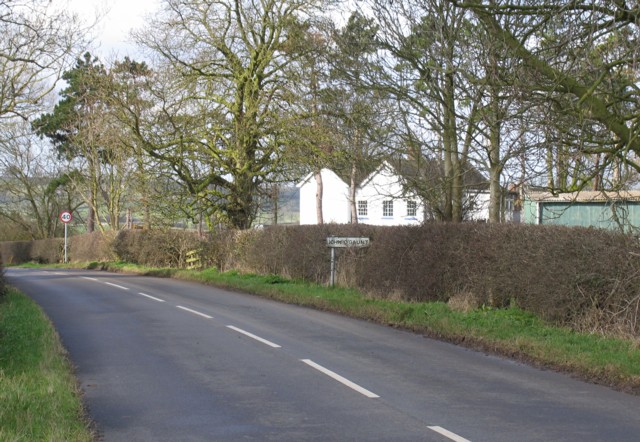
Twyford and Thorpe
Twyford and Thorpe is a civil parish in Leicestershire, England, comprising the villages of Twyford and Thorpe Satchville, and the hamlet of John O'Gaunt...

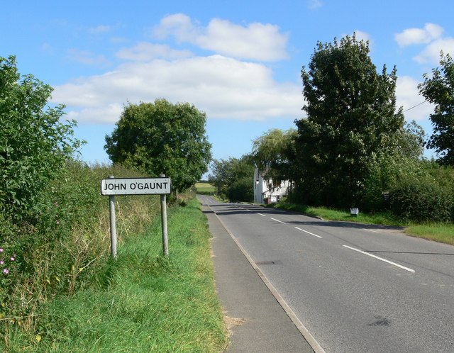
John O'Gaunt, Leicestershire
John O'Gaunt, (properly John O' Gaunt) is a small village in the English county of Leicestershire. The population of the village is included in the civil...

John O' Gaunt railway station
John O'Gaunt railway station was a railway station serving the villages of Twyford, John O'Gaunt and Burrough on the Hill in Leicestershire, England. on...

Burrough Court
Burrough Court is a former stately home in Burrough on the Hill near Melton Mowbray in the East Midlands, England. Burrough Court was once the site of...
Nearby Amenities
Located within 500m of 52.69823,-0.912613Have you been to Thorpe Satchville?
Leave your review of Thorpe Satchville below (or comments, questions and feedback).