Saint James Orchard
Wood, Forest in Nottinghamshire Newark and Sherwood
England
Saint James Orchard
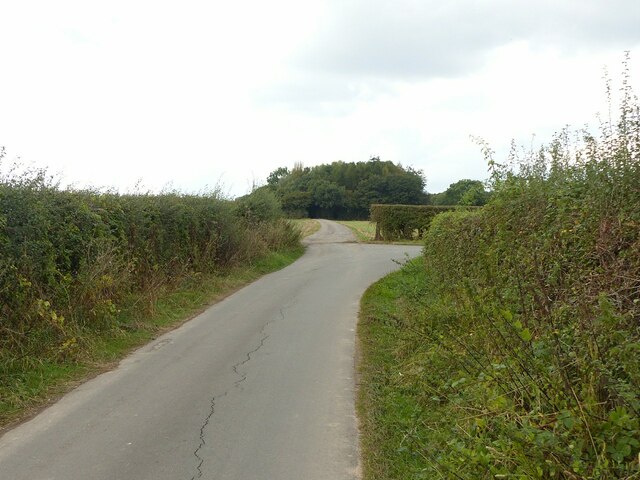
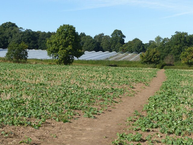
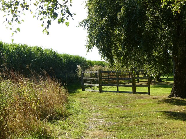
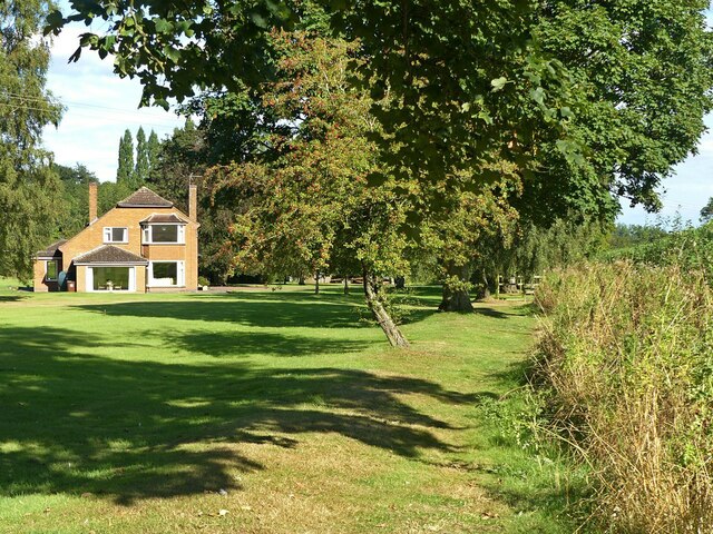
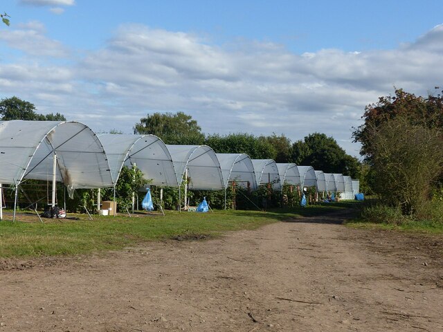
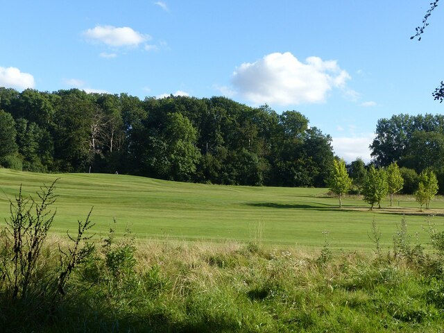
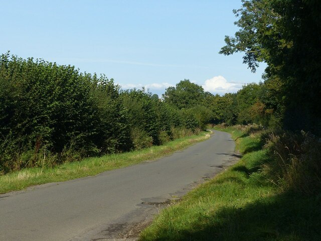
Saint James Orchard is a picturesque woodland area located in the county of Nottinghamshire, England. Situated near the village of Wood, this forested area covers an expansive stretch of land, offering a serene and tranquil environment for visitors to enjoy.
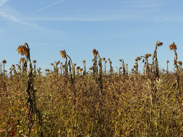
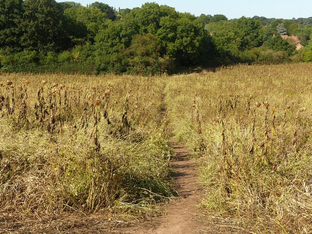
The woodland is characterized by its dense canopy of deciduous trees, including oak, beech, and ash, which provide ample shade and shelter for a variety of wildlife species. Walking through Saint James Orchard, one can expect to encounter an array of flora and fauna, such as bluebells, foxgloves, and various bird species.
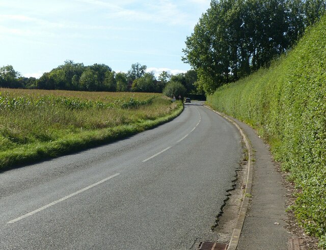
The forest is crisscrossed by a network of well-maintained footpaths, making it easily accessible for hikers and nature enthusiasts. These trails offer opportunities for leisurely strolls, birdwatching, and even picnicking in designated areas. The forest management ensures that the paths remain clear and safe for visitors.
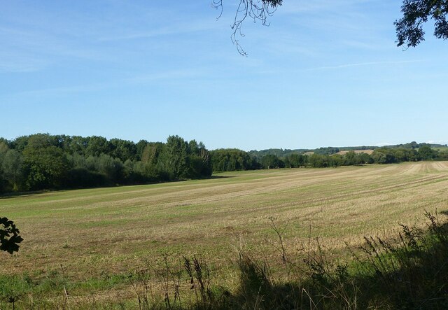
Saint James Orchard is not only a haven for nature lovers but also a site of historical significance. It is believed that the woodland once formed part of the ancient Sherwood Forest, famously associated with the legendary outlaw Robin Hood. As such, the area attracts tourists interested in exploring the folklore and history of the region.
In conclusion, Saint James Orchard in Nottinghamshire is a stunning woodland area that offers a peaceful retreat for those seeking solace in nature. Its diverse ecosystem, well-maintained trails, and historical charm make it an ideal destination for individuals who appreciate the beauty and tranquility of the natural world.
If you have any feedback on the listing, please let us know in the comments section below.
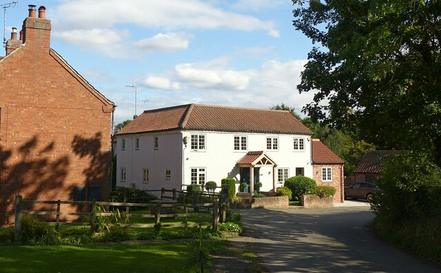
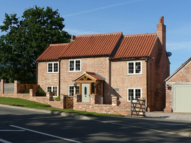
Saint James Orchard Images
Images are sourced within 2km of 53.081146/-0.98132063 or Grid Reference SK6854. Thanks to Geograph Open Source API. All images are credited.

Saint James Orchard is located at Grid Ref: SK6854 (Lat: 53.081146, Lng: -0.98132063)
Administrative County: Nottinghamshire
District: Newark and Sherwood
Police Authority: Nottinghamshire
What 3 Words
///decimals.diary.drove. Near Southwell, Nottinghamshire
Related Wikis

Halam, Nottinghamshire
Halam is a village and civil parish in the Newark and Sherwood district of Nottinghamshire, England, with a population of 372 in 2001, increasing to 426...

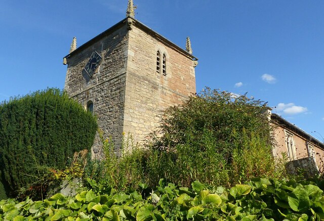
St Michael the Archangel's Church, Halam
St Michael the Archangel's Church, Halam is a Grade I listed parish church in the Church of England in Halam, Nottinghamshire. == History == St Michael...

Holy Trinity Church, Southwell
Holy Trinity Church, Southwell is a parish church in the Church of England in Southwell, Nottinghamshire. The church is Grade II listed by the Department...
Edingley
Edingley is a village in the Newark and Sherwood district of Nottinghamshire, England. According to the 2001 census it had a population of 390, increasing...

Southwell, Nottinghamshire
Southwell ( SOWTH-wəl, -wel, locally SUDH-əl) is a minster and market town in the district of Newark and Sherwood in Nottinghamshire, England. It is...
The Minster School, Southwell
The Minster School is a Church of England secondary school with sixth form in Southwell, Nottinghamshire, England, for children aged 11 to 18. There are...

Diocese of Southwell and Nottingham
The Diocese of Southwell and Nottingham is a Church of England diocese in the Province of York, headed by the Bishop of Southwell and Nottingham. It covers...

Southwell Minster
Southwell Minster, formally the Cathedral and Parish Church of the Blessed Virgin Mary, is a Church of England cathedral in Southwell, England. The cathedral...
Nearby Amenities
Located within 500m of 53.081146,-0.98132063Have you been to Saint James Orchard?
Leave your review of Saint James Orchard below (or comments, questions and feedback).