The Temple Wood
Wood, Forest in Nottinghamshire Newark and Sherwood
England
The Temple Wood
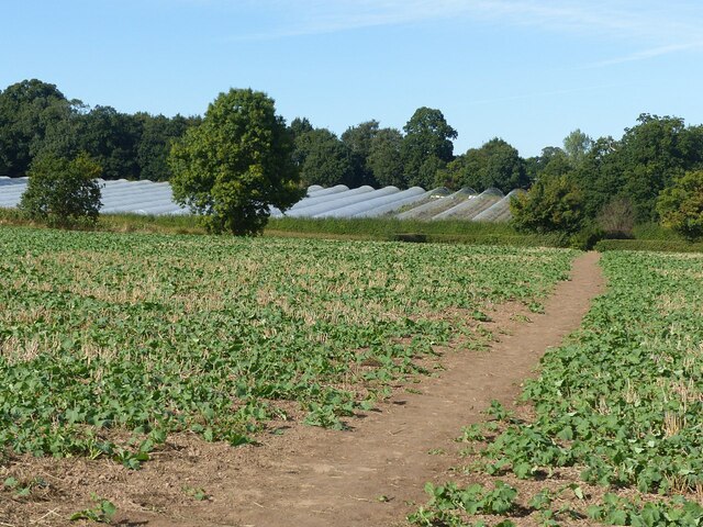
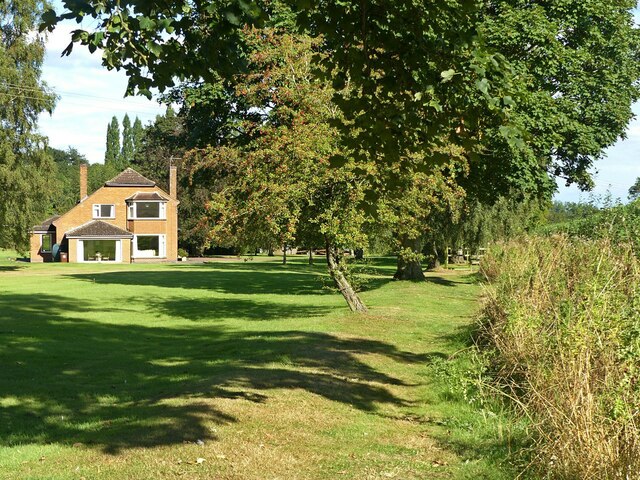
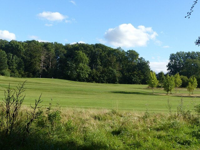
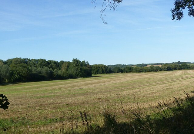
The Temple Wood is a charming woodland located in Nottinghamshire, England. Covering an area of approximately 25 acres, this ancient forest is nestled within the scenic Sherwood Forest. The wood is known for its lush greenery, diverse range of tree species, and tranquil atmosphere.
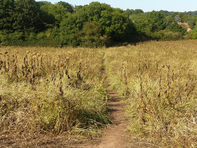
The Temple Wood is home to a variety of tree species, including oak, beech, birch, and ash. These majestic trees provide a picturesque backdrop for visitors, creating a sense of peace and serenity. The forest floor is adorned with an array of wildflowers, adding bursts of color to the landscape.
Steeped in history, the wood is said to have once been part of the hunting grounds of the medieval kings of England. The name "Temple Wood" is derived from the Knights Templar, who were believed to have used the area as a sanctuary during their travels.
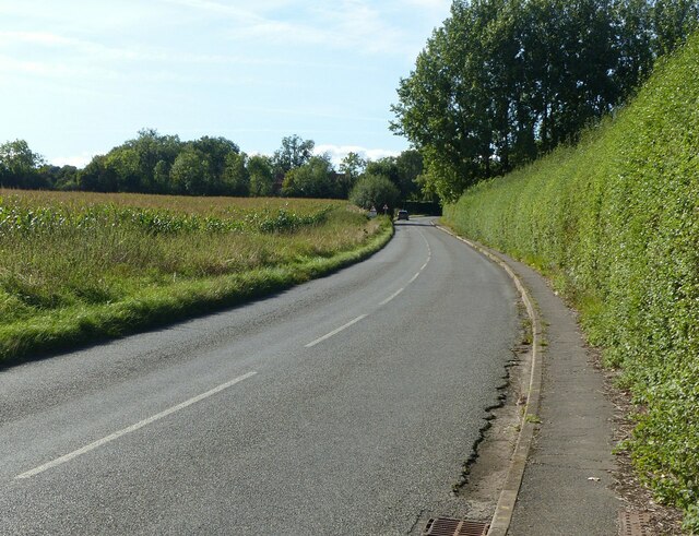
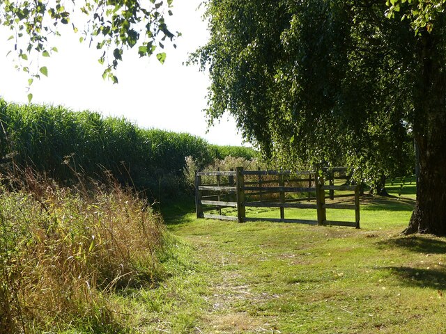
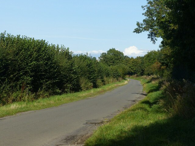
Visitors to the Temple Wood can enjoy a leisurely stroll along the well-maintained pathways that wind through the forest. The woodland also offers a number of picnic areas, allowing visitors to relax and soak in the natural surroundings.
The Temple Wood is a popular destination for nature enthusiasts, hikers, and birdwatchers. The forest is home to a variety of wildlife, including deer, foxes, and a wide range of bird species.
Overall, the Temple Wood in Nottinghamshire provides a serene and picturesque escape for those seeking to immerse themselves in nature's beauty.
If you have any feedback on the listing, please let us know in the comments section below.
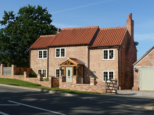
The Temple Wood Images
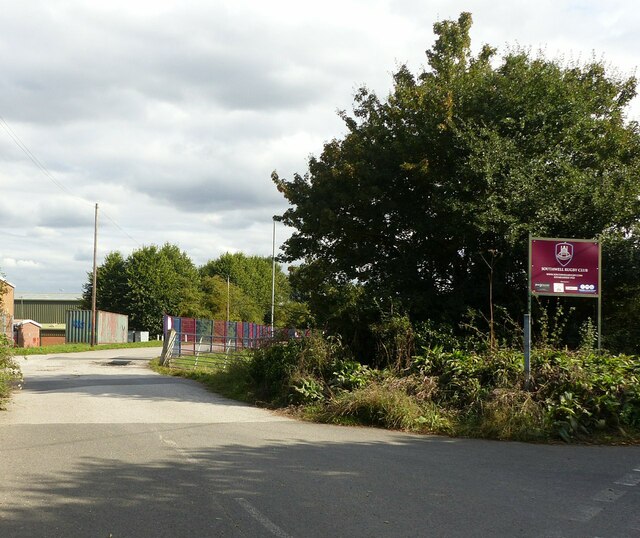
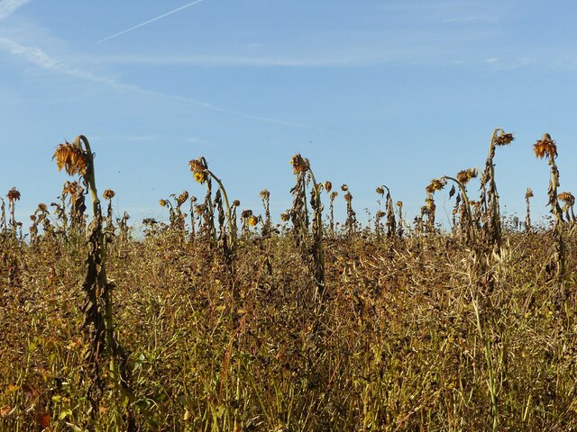
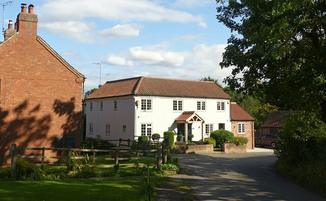
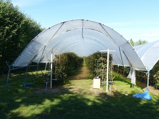
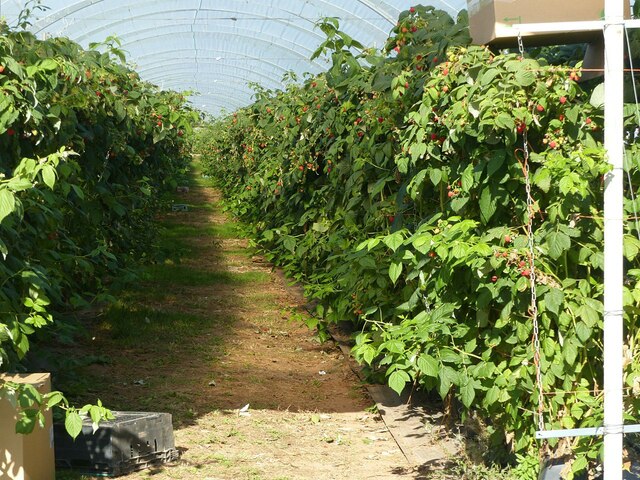
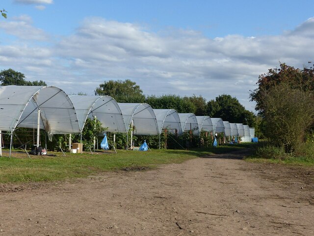
Images are sourced within 2km of 53.084722/-0.97787693 or Grid Reference SK6854. Thanks to Geograph Open Source API. All images are credited.


The Temple Wood is located at Grid Ref: SK6854 (Lat: 53.084722, Lng: -0.97787693)
Administrative County: Nottinghamshire
District: Newark and Sherwood
Police Authority: Nottinghamshire
What 3 Words
///writings.smile.munch. Near Southwell, Nottinghamshire
Related Wikis

Halam, Nottinghamshire
Halam is a village and civil parish in the Newark and Sherwood district of Nottinghamshire, England, with a population of 372 in 2001, increasing to 426...

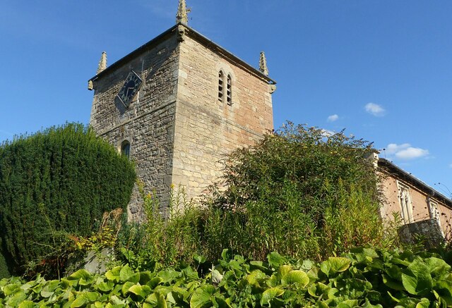
St Michael the Archangel's Church, Halam
St Michael the Archangel's Church, Halam is a Grade I listed parish church in the Church of England in Halam, Nottinghamshire. == History == St Michael...
Edingley
Edingley is a village in the Newark and Sherwood district of Nottinghamshire, England. According to the 2001 census it had a population of 390, increasing...

Holy Trinity Church, Southwell
Holy Trinity Church, Southwell is a parish church in the Church of England in Southwell, Nottinghamshire. The church is Grade II listed by the Department...
Have you been to The Temple Wood?
Leave your review of The Temple Wood below (or comments, questions and feedback).