Farm Plantation

Wood, Forest in Nottinghamshire Newark and Sherwood

England

Farm Plantation

Entrance and bridleway to Stubbins Farm Recreating this 'First' for the square <a title="https://www.geograph.org.uk/photo/40846" href="https://www.geograph.org.uk/photo/40846">Link</a> .
Entrance and bridleway to Stubbins Farm Credit: Alan Murray-Rust

Farm Plantation is a vast woodland located in the county of Nottinghamshire, England. Covering an expansive area, it is known for its rich biodiversity and natural beauty. The plantation is nestled in the heart of the county, surrounded by rolling hills and picturesque landscapes.

The woodland is primarily composed of various species of trees, including oak, beech, and birch, which form a dense canopy overhead. This creates a shaded and cool environment, ideal for a wide range of wildlife to thrive. Within the plantation, visitors can spot an array of bird species, such as woodpeckers, owls, and jays, as well as small mammals like squirrels and rabbits.

Farm Plantation is a popular destination for nature enthusiasts, hikers, and birdwatchers alike. It offers a network of well-maintained walking trails that wind through the woods, allowing visitors to explore the area at their leisure. These trails provide an opportunity to immerse oneself in the tranquility of nature, away from the hustle and bustle of city life.

In addition to its natural beauty, Farm Plantation also serves as an important ecosystem, providing valuable habitat for many plant and animal species. The woodland is carefully managed to ensure its sustainability and conservation. Forest rangers and volunteers work diligently to maintain the health of the trees, as well as protect the diverse wildlife that calls the plantation home.

Overall, Farm Plantation is a haven of natural wonders, offering a serene escape for individuals seeking a connection with nature. Its lush woodland, diverse wildlife, and well-maintained trails make it a must-visit destination for those exploring the Nottinghamshire countryside.

If you have any feedback on the listing, please let us know in the comments section below.

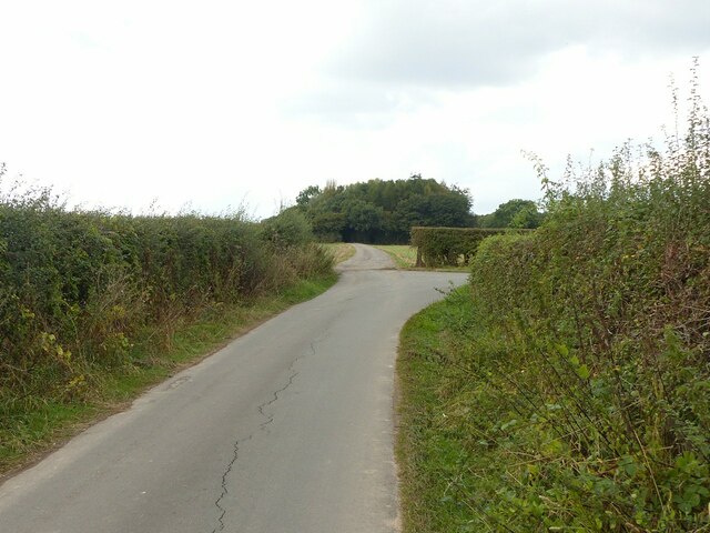
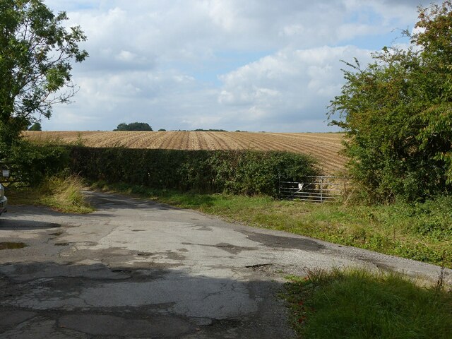
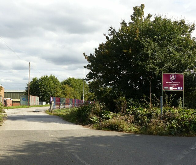
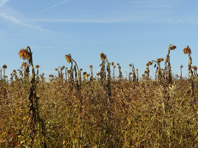
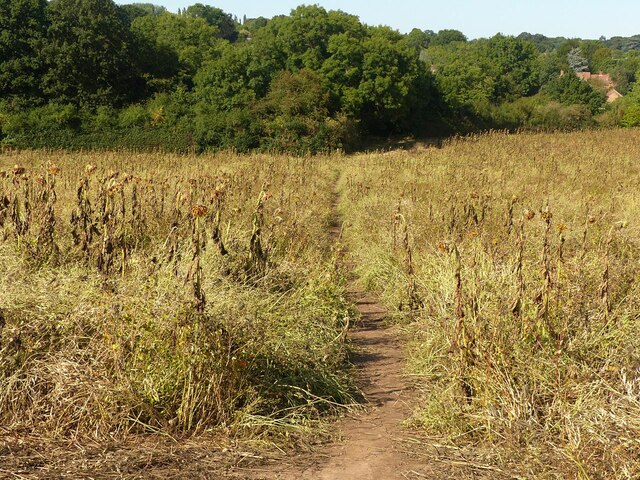
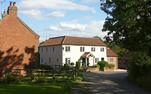
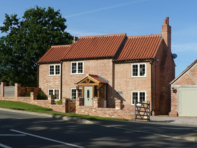
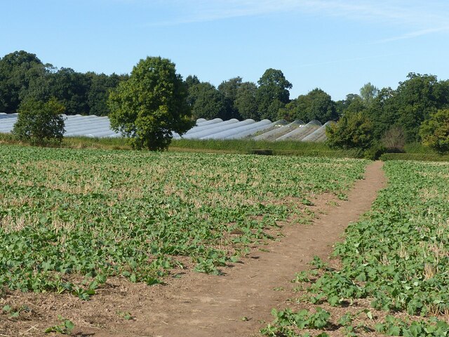
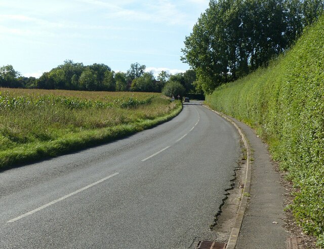
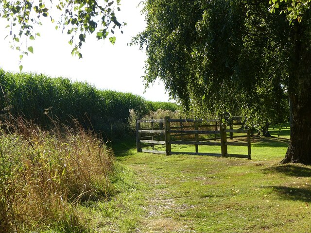
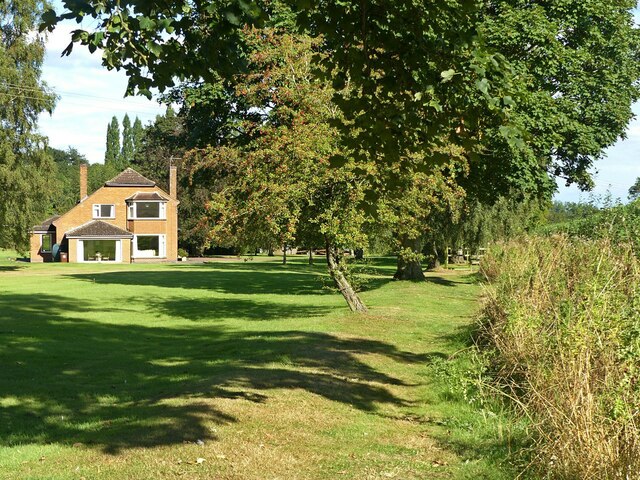
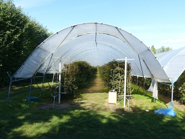
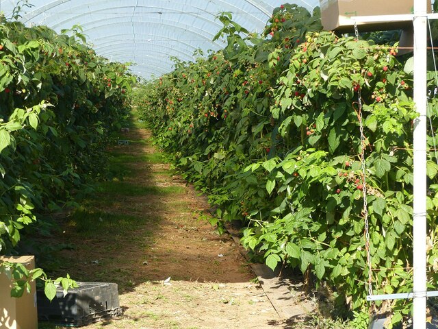
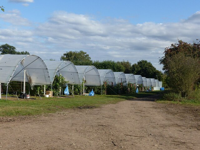
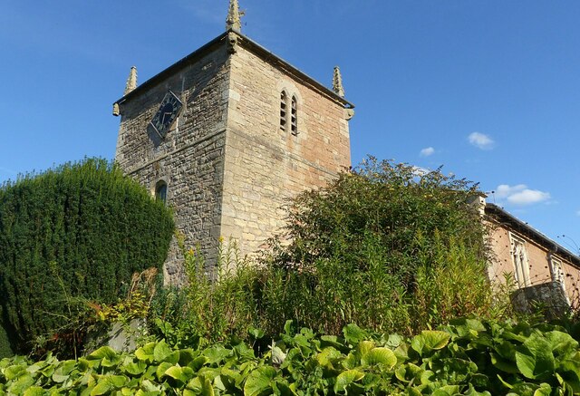
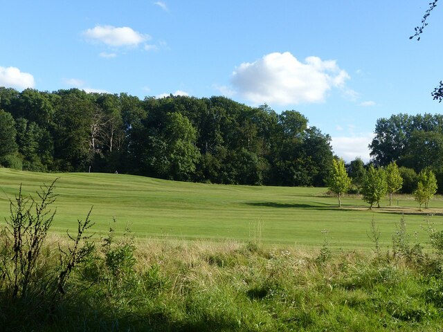
Farm Plantation Images

Images are sourced within 2km of 53.080801/-0.97356574 or Grid Reference SK6854. Thanks to Geograph Open Source API. All images are credited.

Entrance and bridleway to Stubbins Farm Recreating this 'First' for the square <a title="https://www.geograph.org.uk/photo/40846" href="https://www.geograph.org.uk/photo/40846">Link</a> .
Entrance and bridleway to Stubbins Farm
Recreating this 'First' for the square Link .
The end of Stubbins Lane The surfaced areas left and right represent the old main A612 before the bend was eased in the mid 20th century. This section of Stubbins Lane forms part of the Robin Hood Way
The end of Stubbins Lane
The surfaced areas left and right represent the old main A612 before the bend was eased in the mid 20th century. This section of Stubbins Lane forms part of the Robin Hood Way
Brackenhurst Campus, Nottingham Trent University Recreating this 'First' for the square <a title="https://www.geograph.org.uk/photo/40843" href="https://www.geograph.org.uk/photo/40843">Link</a> .

The entry to the right - Hicking Lane - is no longer the main entrance to the site following some redevelopment.
Brackenhurst Campus, Nottingham Trent University
Recreating this 'First' for the square Link . The entry to the right - Hicking Lane - is no longer the main entrance to the site following some redevelopment.
Grounds of Southwell RFC Recreating this 'First' for the square <a title="https://www.geograph.org.uk/photo/40852" href="https://www.geograph.org.uk/photo/40852">Link</a> .

This is now the back way into the new Leisure Centre (buildings to the left) and a new long stay car park for the town.
Grounds of Southwell RFC
Recreating this 'First' for the square Link . This is now the back way into the new Leisure Centre (buildings to the left) and a new long stay car park for the town.
Droopy heads Decaying sunflower plants rising above a field of other seed plants.
Droopy heads
Decaying sunflower plants rising above a field of other seed plants.
Footpath near Westhorpe A very different crop from the barley of last year <a title="https://www.geograph.org.uk/photo/6554550" href="https://www.geograph.org.uk/photo/6554550">Link</a> , consisting of a mix of seed bearing plants, including sunflowers. The path forms part of the Robin Hood Way.
Footpath near Westhorpe
A very different crop from the barley of last year Link , consisting of a mix of seed bearing plants, including sunflowers. The path forms part of the Robin Hood Way.
The Holme, Southwell Recreating this 'First' for the square <a title="https://www.geograph.org.uk/photo/40850" href="https://www.geograph.org.uk/photo/40850">Link</a> .

The white house has undergone a major rebuild since 2005.
The Holme, Southwell
Recreating this 'First' for the square Link . The white house has undergone a major rebuild since 2005.
Sunbury Cottage, Oxton Road, Southwell 19th century farm cottage, recently refurbished from a rather dilapidated state.
Sunbury Cottage, Oxton Road, Southwell
19th century farm cottage, recently refurbished from a rather dilapidated state.
Farmland near Westhorpe An update on this 2008 view <a title="https://www.geograph.org.uk/photo/852196" href="https://www.geograph.org.uk/photo/852196">Link</a> , with a different crop and new polytunnels.
Farmland near Westhorpe
An update on this 2008 view Link , with a different crop and new polytunnels.
Junction Allenby Road and Halam Road, Southwell Recreating this 'First' for the square <a title="https://www.geograph.org.uk/photo/40856" href="https://www.geograph.org.uk/photo/40856">Link</a>
Junction Allenby Road and Halam Road, Southwell
Recreating this 'First' for the square Link
Halam Road on the edge of Southwell Recreating this 2009 submission for the square <a title="https://www.geograph.org.uk/photo/1185886" href="https://www.geograph.org.uk/photo/1185886">Link</a>
Halam Road on the edge of Southwell
Recreating this 2009 submission for the square Link
Robin Hood Way off Saversick Lane The path is not separated from the grounds of the house called Halam Gate <a title="https://www.geograph.org.uk/photo/6970083" href="https://www.geograph.org.uk/photo/6970083">Link</a> , except for this section. Until you get very close, the reason is not obvious, but is ensuring that walkers keep clear of the guy stays of an 11Kv electric transmission line pole. The path is part of the Robin Hood Way.
Robin Hood Way off Saversick Lane
The path is not separated from the grounds of the house called Halam Gate Link , except for this section. Until you get very close, the reason is not obvious, but is ensuring that walkers keep clear of the guy stays of an 11Kv electric transmission line pole. The path is part of the Robin Hood Way.
Robin Hood Way passing Halam Gate The path runs between the hedge and the line of trees but is not fenced off from the grounds of the house.
Robin Hood Way passing Halam Gate
The path runs between the hedge and the line of trees but is not fenced off from the grounds of the house.
Polytunnel at Godber's Orchard The crop in this instance is blackberries.
Polytunnel at Godber's Orchard
The crop in this instance is blackberries.
A tempting crop for passing walkers Raspberry canes with ripe fruit in a polytunnel alongside the Robin Hood Way.
A tempting crop for passing walkers
Raspberry canes with ripe fruit in a polytunnel alongside the Robin Hood Way.
Polytunnels at Godber's Orchard The track is a public footpath forming part of the Robin Hood Way.
Polytunnels at Godber's Orchard
The track is a public footpath forming part of the Robin Hood Way.
Halam Church Recreating this 'First' for the square <a title="https://www.geograph.org.uk/photo/4576" href="https://www.geograph.org.uk/photo/4576">Link</a> . The vegetation has changed significantly, to the point where I would not have chosen this viewpoint except for being in the right spot for the re-creation!
Halam Church
Recreating this 'First' for the square Link . The vegetation has changed significantly, to the point where I would not have chosen this viewpoint except for being in the right spot for the re-creation!
Norwood Park Golf Course Viewed from School Lane, Halam.
Norwood Park Golf Course
Viewed from School Lane, Halam.
Show me another place!

Farm Plantation is located at Grid Ref: SK6854 (Lat: 53.080801, Lng: -0.97356574)

Administrative County: Nottinghamshire

District: Newark and Sherwood

Police Authority: Nottinghamshire

What 3 Words

///cunning.hubcaps.roughness. Near Southwell, Nottinghamshire

Related Wikis

Halam, Nottinghamshire

Halam is a village and civil parish in the Newark and Sherwood district of Nottinghamshire, England, with a population of 372 in 2001, increasing to 426...

Holy Trinity Church, Southwell

Holy Trinity Church, Southwell is a parish church in the Church of England in Southwell, Nottinghamshire. The church is Grade II listed by the Department...

Southwell, Nottinghamshire

Southwell ( SOWTH-wəl, -⁠wel, locally SUDH-əl) is a minster and market town in the district of Newark and Sherwood in Nottinghamshire, England. It is...

Diocese of Southwell and Nottingham

The Diocese of Southwell and Nottingham is a Church of England diocese in the Province of York, headed by the Bishop of Southwell and Nottingham. It covers...

Nearby Amenities

Located within 500m of 53.080801,-0.97356574
Crossing
Crossing: marked
Crossing Markings: yes
Lat/Long: 53.0773588/-0.9715484
Bench
Lat/Long: 53.07778/-0.9688503
Bus Stop
Saversick Lane
Bus: yes
Naptan AtcoCode: 3300NS0221
Naptan Bearing: SE
Naptan CommonName: Saversick Lane
Naptan Crossing: Saversick Lane
Naptan Indicator: opp
Naptan NaptanCode: ntsdadjp
Naptan Notes: BW
Naptan Street: Halam Road
Naptan Verified: yes
Public Transport: platform
Source: naptan_import
Lat/Long: 53.080142/-0.9807143
Bus Stop
Vicarage Road
Bus: yes
Naptan AtcoCode: 3300NS0498
Naptan Bearing: N
Naptan CommonName: Vicarage Road
Naptan Crossing: Vicarage Road
Naptan Indicator: opp
Naptan NaptanCode: ntsdgwmd
Naptan Notes: BW
Naptan Street: Allenby Road
Naptan Verified: no
Public Transport: platform
Source: naptan_import
Lat/Long: 53.0774245/-0.9689404
Bus Stop
Halam Road
Bus: yes
Naptan AtcoCode: 3300NS0679
Naptan Bearing: E
Naptan CommonName: Halam Road
Naptan Crossing: Cooks Lane
Naptan Indicator: E-bound
Naptan NaptanCode: ntsdjaja
Naptan Notes: BW
Naptan Street: Halam Road
Naptan Verified: no
Public Transport: platform
Source: naptan_import
Lat/Long: 53.0793529/-0.9762412
Saversick Lane
Naptan AtcoCode: 3300NS0854
Naptan Bearing: W
Naptan BusStopType: CUS
Naptan CommonName: Saversick Lane
Naptan Crossing: Saversick Lane
Naptan Indicator: adj
Naptan NaptanCode: ntsgmtjg
Naptan Notes: 3300NS0221
Naptan Street: Halam Road
Naptan Verified: no
Source: naptan_import
Lat/Long: 53.0800859/-0.9808962
Halam Road
Naptan AtcoCode: 3300NS0855
Naptan Bearing: W
Naptan BusStopType: CUS
Naptan CommonName: Halam Road
Naptan Crossing: Cooks Lane
Naptan Indicator: W-bound
Naptan NaptanCode: ntsgmtjm
Naptan Notes: 3300NS0679
Naptan Street: Halam Road
Naptan Verified: no
Source: naptan_import
Lat/Long: 53.0792487/-0.9761373
Bus Stop
Vicarage Road
Bus: yes
Naptan AtcoCode: 3300NS0856
Naptan Bearing: SE
Naptan BusStopType: CUS
Naptan CommonName: Vicarage Road
Naptan Crossing: Vicarage Road
Naptan Indicator: adj
Naptan NaptanCode: ntsgmtjp
Naptan Notes: 3300NS0498
Naptan Street: Allenby Road
Naptan Verified: no
Public Transport: platform
Source: naptan_import
Lat/Long: 53.0774412/-0.9687907
Direction: 300
Man Made: surveillance
Surveillance: public
Surveillance Type: ALPR
Surveillance Zone: traffic
Lat/Long: 53.0771233/-0.9709049
The data included in this document is from www.openstreetmap.org. The data is made available under ODbL.

Have you been to Farm Plantation?

Leave your review of Farm Plantation below (or comments, questions and feedback).