Round Copse
Wood, Forest in Hampshire Basingstoke and Deane
England
Round Copse

Round Copse is a charming woodland located in the county of Hampshire, England. Spanning an area of approximately 50 acres, this enchanting forest is nestled in the heart of the picturesque countryside. Its name is derived from the circular shape of the copse, which adds to its distinctive character.
The woodland is primarily composed of a variety of native tree species, including oak, beech, and birch. These towering trees create a dense canopy that provides a cool and tranquil environment, perfect for those seeking solace in nature. The forest floor is adorned with an array of wildflowers during the spring and summer months, adding bursts of vibrant colors to the landscape.
Round Copse is home to a diverse range of wildlife, making it a haven for nature enthusiasts and wildlife photographers. Visitors may catch glimpses of deer, foxes, badgers, and a multitude of bird species such as woodpeckers, thrushes, and owls. The forest also provides a habitat for various insects, including butterflies and beetles, further adding to its ecological significance.
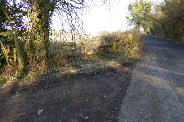
The copse offers a network of well-maintained footpaths, allowing visitors to explore its natural beauty at their own pace. These winding trails lead to hidden clearings and secluded spots, perfect for picnics or simply taking a moment to soak in the tranquility of the surroundings.
Round Copse is a popular destination for recreational activities such as hiking, birdwatching, and photography. Its serene atmosphere and captivating scenery make it an ideal escape from the hustle and bustle of everyday life, offering a peaceful retreat for all who venture into its embrace.
If you have any feedback on the listing, please let us know in the comments section below.
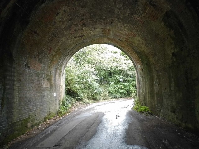
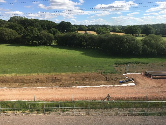
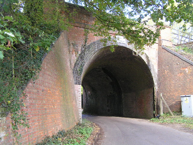
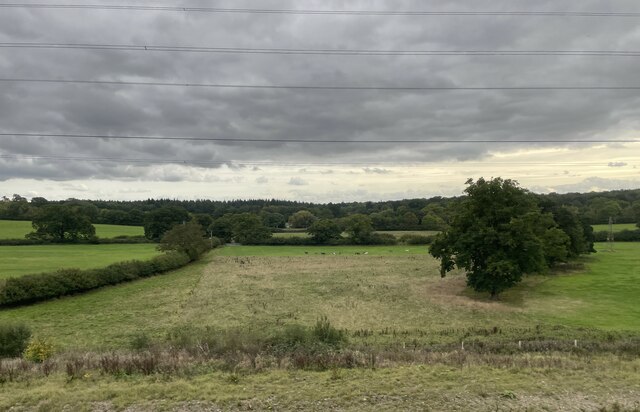
Round Copse Images
Images are sourced within 2km of 51.275757/-1.0217721 or Grid Reference SU6853. Thanks to Geograph Open Source API. All images are credited.


Round Copse is located at Grid Ref: SU6853 (Lat: 51.275757, Lng: -1.0217721)
Administrative County: Hampshire
District: Basingstoke and Deane
Police Authority: Hampshire
What 3 Words
///lend.hips.cross. Near Old Basing, Hampshire
Nearby Locations
Related Wikis
Andwell
Andwell is a village and former civil parish, now in the parish of Mapledurwell and Up Nately, in the Basingstoke and Deane district of Hampshire, England...

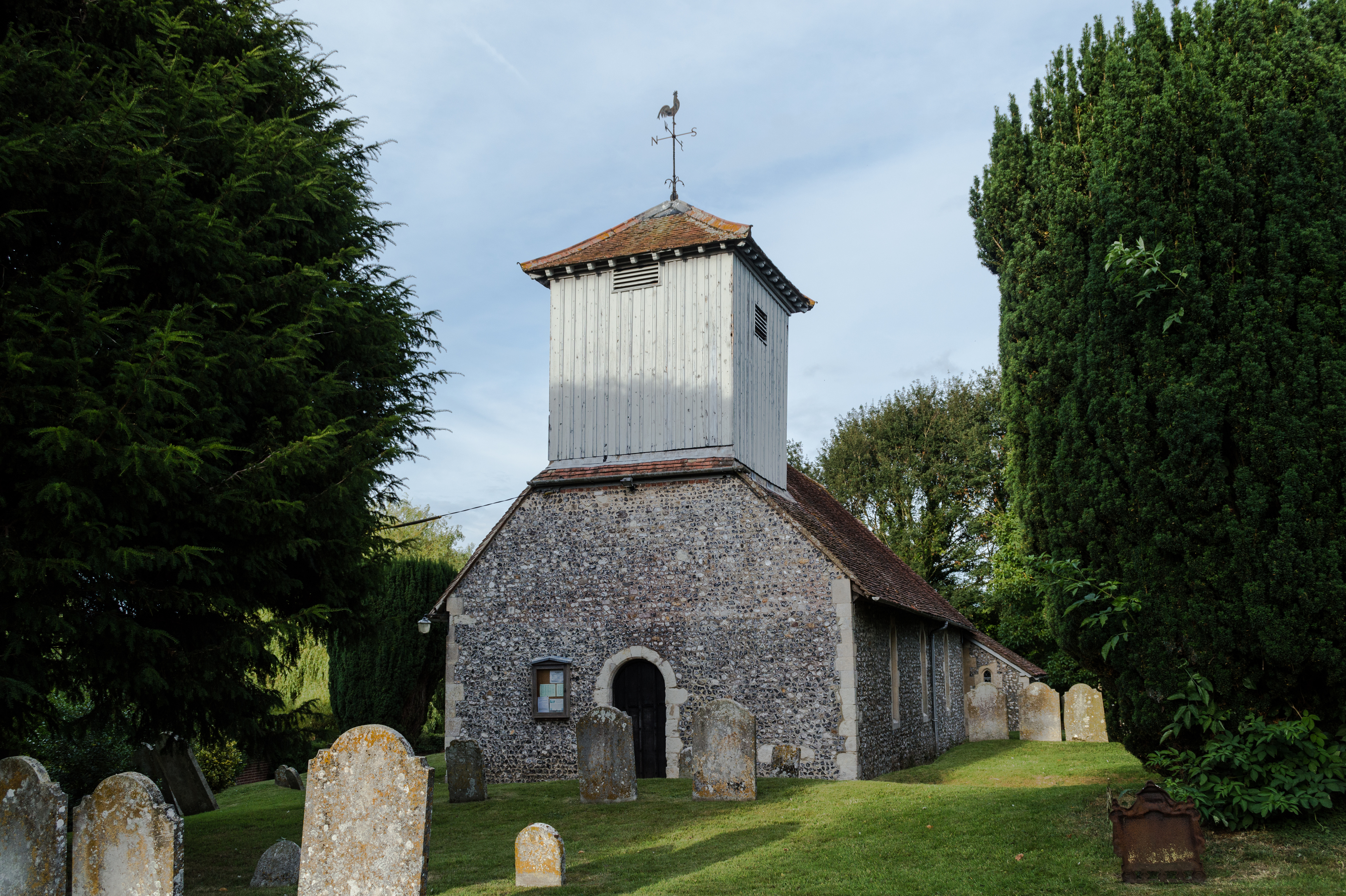
St. Swithun's, Nately Scures
St Swithun's Church is the smallest ancient Church of England parish church in the English county of Hampshire. Newnham and Nately Scures are part of the...

Old Basing
Old Basing is a village in Hampshire, England, just east of Basingstoke. It was called Basengum in the Anglo-Saxon Chronicle and Basinges in the Domesday...

Battle of Basing
The Battle of Basing was a victory of a Danish Viking army over the West Saxons at the royal estate of Basing in Hampshire on about 22 January 871.In late...
Mapledurwell
Mapledurwell is a village and former civil parish, now in the parish of Mapledurwell and Up Nately, in the Basingstoke and Deane district, in the county...

The Mill Field, Hampshire
The Mill Field is a 11.7-hectare (29-acre) Local Nature Reserve in Basingstoke in Hampshire. It is owned by Basingstoke and Deane Borough Council and...

Up Nately LNR
Up Nately LNR is a 2.8-hectare (6.9-acre) local nature reserve in Up Nately in Hampshire. It is owned by Hampshire County Council and Surrey County Council...
Lychpit
Lychpit is now the name of a modern housing development adjacent to Old Basing near Basingstoke, Hampshire. The modern development started in the early...
Nearby Amenities
Located within 500m of 51.275757,-1.0217721Have you been to Round Copse?
Leave your review of Round Copse below (or comments, questions and feedback).