Bachelor's Green Wood
Wood, Forest in Oxfordshire South Oxfordshire
England
Bachelor's Green Wood

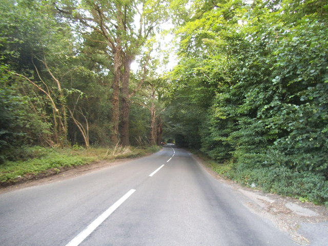
Bachelor's Green Wood is a beautiful woodland area located in Oxfordshire, England. Situated near the town of Woodstock, it covers an area of approximately 100 acres. The wood is predominantly made up of oak trees, which provide a stunning canopy and create a serene and peaceful atmosphere.
One of the notable features of Bachelor's Green Wood is its rich biodiversity. The wood is home to a variety of flora and fauna, including bluebells, wild garlic, and various species of birds. The diverse range of habitats within the wood attracts a wide array of wildlife, making it a popular destination for nature enthusiasts and birdwatchers.
The wood also offers numerous walking trails and footpaths, allowing visitors to explore its natural beauty. The well-maintained paths meander through the trees, providing an immersive experience in the heart of nature. Along the trails, visitors can spot ancient trees, hidden ponds, and small clearings, creating a sense of discovery and adventure.
Bachelor's Green Wood holds historical significance as well. It has been a local landmark for centuries, with evidence of human activity dating back to prehistoric times. The wood was once part of the ancient Wychwood Forest, which covered a large part of Oxfordshire. Today, it serves as a reminder of the area's rich cultural and natural heritage.
Overall, Bachelor's Green Wood is a captivating destination for nature lovers, history enthusiasts, and those seeking tranquility. Its lush vegetation, diverse wildlife, and scenic trails make it a gem within the Oxfordshire landscape.
If you have any feedback on the listing, please let us know in the comments section below.
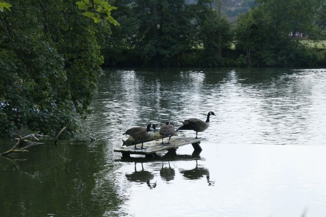
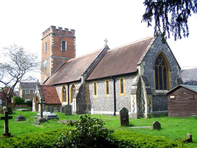
Bachelor's Green Wood Images
Images are sourced within 2km of 51.503337/-1.0406664 or Grid Reference SU6678. Thanks to Geograph Open Source API. All images are credited.


Bachelor's Green Wood is located at Grid Ref: SU6678 (Lat: 51.503337, Lng: -1.0406664)
Administrative County: Oxfordshire
District: South Oxfordshire
Police Authority: Thames Valley
What 3 Words
///green.scenes.hiked. Near Pangbourne, Berkshire
Nearby Locations
Related Wikis

Hardwick House, Oxfordshire
Hardwick House is a Tudor house on the banks of the River Thames on a slight rise at Whitchurch-on-Thames in the English county of Oxfordshire. It is reputed...

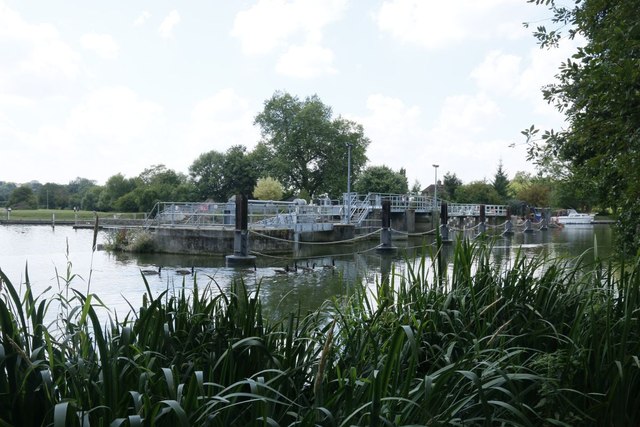
Mapledurham Lock
Mapledurham Lock is a lock and weir situated on the River Thames in England, about 4 miles upstream of Reading. The lock was first built in 1777 by the...

Trench Green
Trench Green is a hamlet in Oxfordshire about 1 mile (1.6 km) northeast of the village of Mapledurham and about 4 miles (6.4 km) northwest of Reading in...

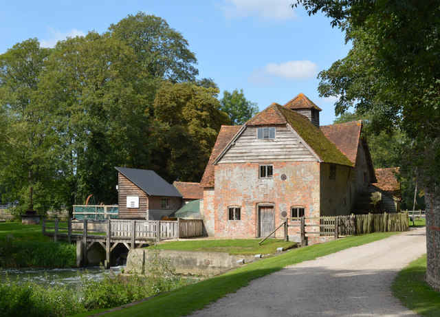
Mapledurham Watermill
Mapledurham Watermill is a historic watermill in the civil parish of Mapledurham in the English county of Oxfordshire. It is driven by the head of water...

Mapledurham
Mapledurham is a small village, civil parish and country estate beside the River Thames in southern Oxfordshire, England. The large parish borders Caversham...

Mapledurham House
Mapledurham House is an Elizabethan stately home located in the civil parish of Mapledurham in the English county of Oxfordshire. It is a Grade I listed...

Whitchurch Hill
Whitchurch Hill is a village in the Chiltern Hills in Oxfordshire, about 5.5 miles (9 km) northwest of Reading, Berkshire, near Whitchurch-on-Thames. The...
Purley on Thames
Purley on Thames (known locally as Purley) is a village and civil parish in Berkshire, England. Purley is centred 3 miles (4.8 km) north-west of Reading...
Nearby Amenities
Located within 500m of 51.503337,-1.0406664Have you been to Bachelor's Green Wood?
Leave your review of Bachelor's Green Wood below (or comments, questions and feedback).