Crook Moor
Wood, Forest in Yorkshire Selby
England
Crook Moor

Crook Moor is a picturesque woodland area located in the county of Yorkshire, England. Situated in the heart of the Yorkshire Dales National Park, it is renowned for its stunning natural beauty and diverse flora and fauna.
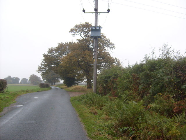
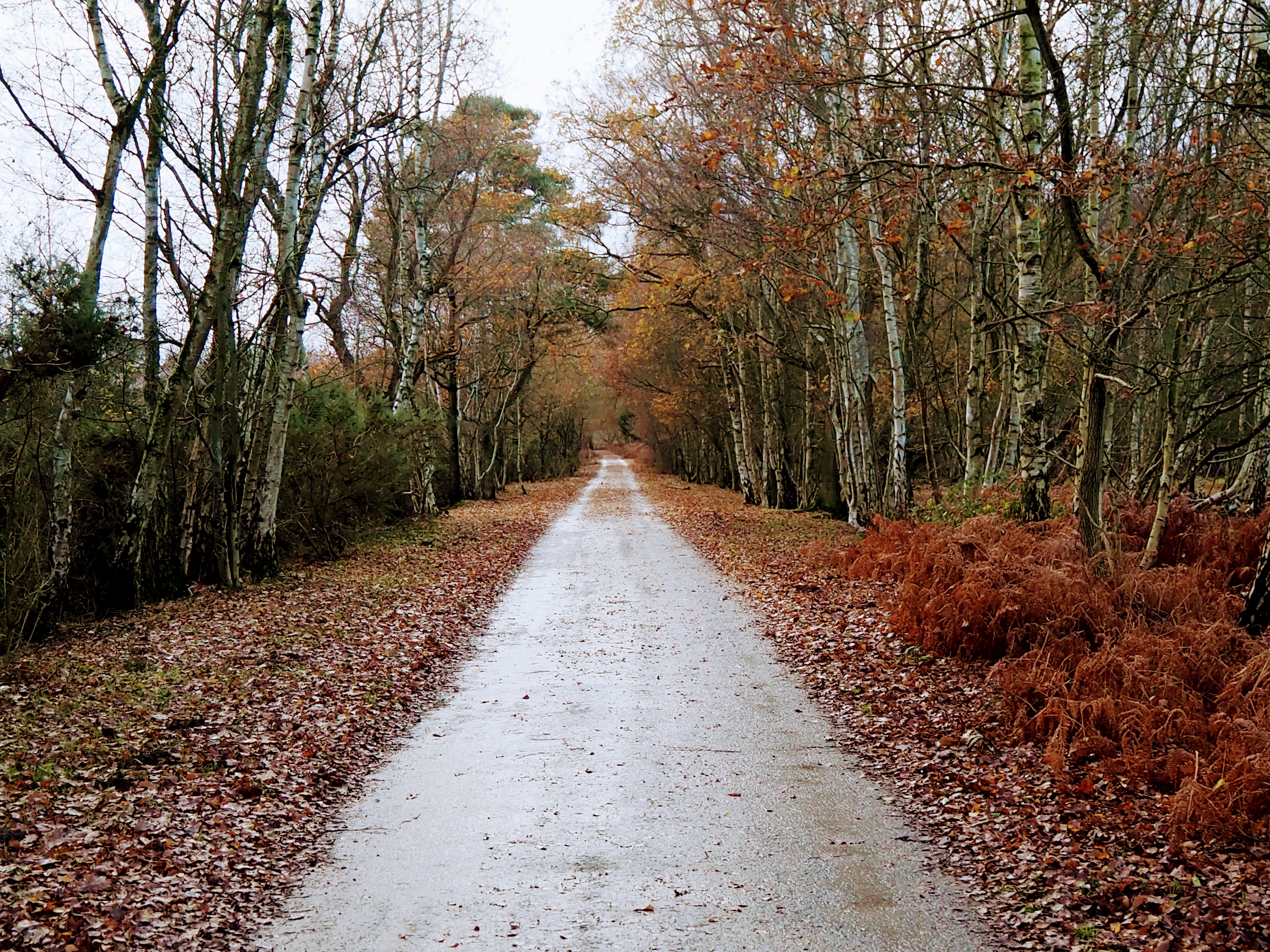
Covering an expansive area, Crook Moor is dominated by dense forests and rolling hills. The woodland is primarily composed of a variety of native tree species such as oak, beech, and ash, creating a vibrant tapestry of colors throughout the year. The forest floor is adorned with a rich carpet of ferns, wildflowers, and moss, providing a haven for countless species of insects, birds, and mammals.
Crook Moor is a haven for nature enthusiasts and hikers alike, offering a network of well-maintained trails that wind through the forested landscape. These paths provide visitors with the opportunity to immerse themselves in the tranquility of the woodland, while also offering breathtaking panoramic views of the surrounding countryside.
The area is also home to a diverse range of wildlife, with sightings of red deer, foxes, and various bird species being common occurrences. Many rare and protected species can be found within Crook Moor, including the elusive black grouse and the endangered red squirrel.
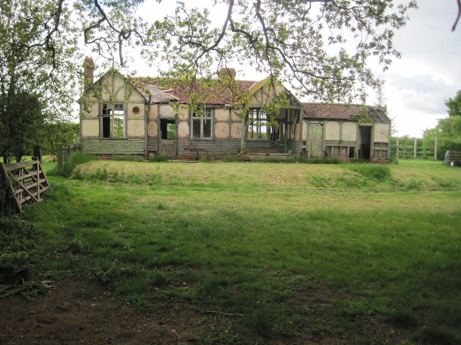
In addition to its natural wonders, Crook Moor boasts a rich cultural heritage. The woodland has been a source of inspiration for artists and writers throughout the centuries, with its beauty captured in numerous works of art and literature.
Overall, Crook Moor is a true gem of Yorkshire, offering visitors an opportunity to connect with nature, explore its idyllic trails, and immerse themselves in the beauty of one of England's most stunning woodland areas.
If you have any feedback on the listing, please let us know in the comments section below.
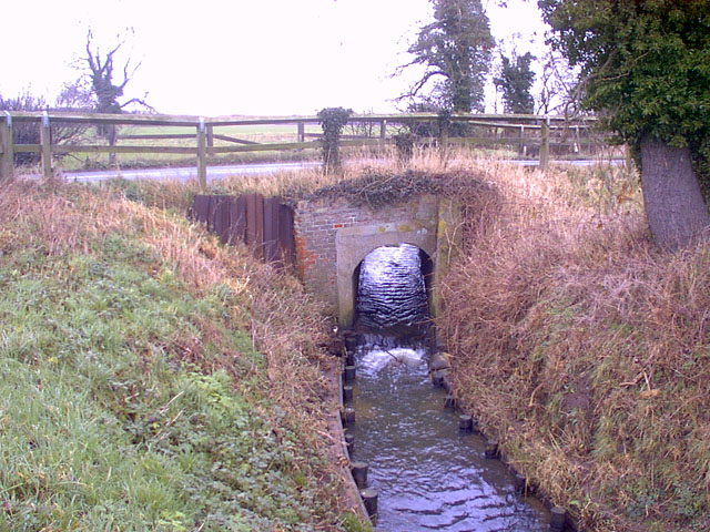
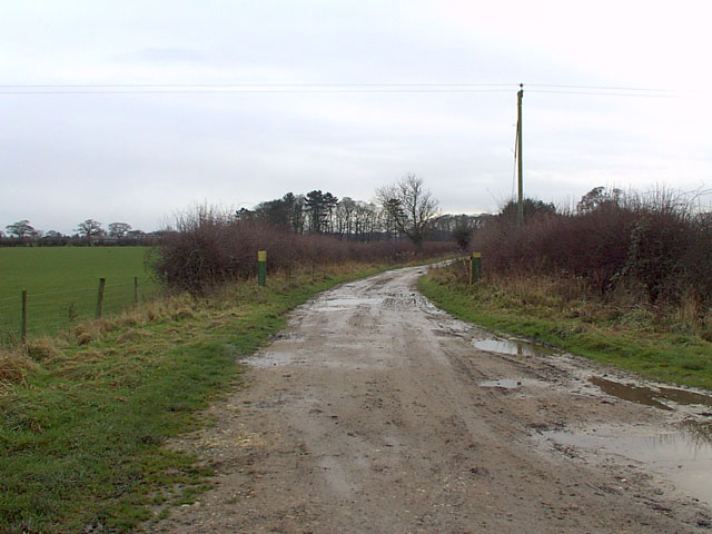
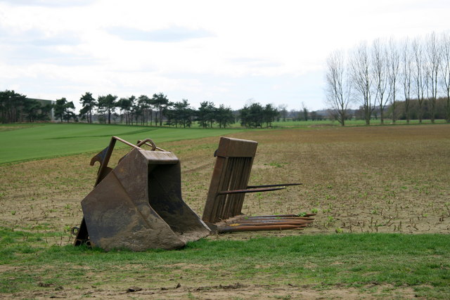
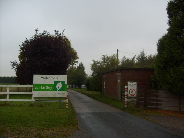
Crook Moor Images
Images are sourced within 2km of 53.852086/-0.9877353 or Grid Reference SE6640. Thanks to Geograph Open Source API. All images are credited.


Crook Moor is located at Grid Ref: SE6640 (Lat: 53.852086, Lng: -0.9877353)
Division: East Riding
Administrative County: North Yorkshire
District: Selby
Police Authority: North Yorkshire
What 3 Words
///lobbed.twinge.repelled. Near North Duffield, North Yorkshire
Nearby Locations
Related Wikis

Derwent Rural District
Derwent was a rural district in the East Riding of Yorkshire from 1935 to 1974.It was created under a County Review Order in 1935, from most of the Escrick...
Thorganby railway station
Thorganby railway station served the village of Thorganby, North Yorkshire, England from 1912 to 1964 on the Derwent Valley Light Railway. The station...

Skipwith
Skipwith is a village and civil parish about 4 miles (6.4 km) north-east of Selby and 10 miles (16 km) south-east of York in North Yorkshire, England....
Skipwith railway station
Skipwith railway station served the village of Skipwith, North Yorkshire, England from 1912 to 1968 on the Derwent Valley Light Railway. == History... ==

Ouse and Derwent
Ouse and Derwent was a wapentake of the historic East Riding of Yorkshire, England consisting of the westerly part of the county, between the River Ouse...

Cottingwith railway station
Cottingwith railway station served the village of East Cottingwith, East Riding of Yorkshire, England from 1913 to 1964 on the Derwent Valley Light Railway...
Skipwith Common
Skipwith Common is a national nature reserve south of Skipwith, North Yorkshire, England. It is one of only three areas within the Vale of York that represent...

St Helen's Church, Thorganby
St Helen's Church is the parish church of Thorganby, a village in the Selby district of North Yorkshire, in England. A church in Thorganby was first recorded...
Nearby Amenities
Located within 500m of 53.852086,-0.9877353Have you been to Crook Moor?
Leave your review of Crook Moor below (or comments, questions and feedback).