Valentine Wood
Wood, Forest in Oxfordshire South Oxfordshire
England
Valentine Wood

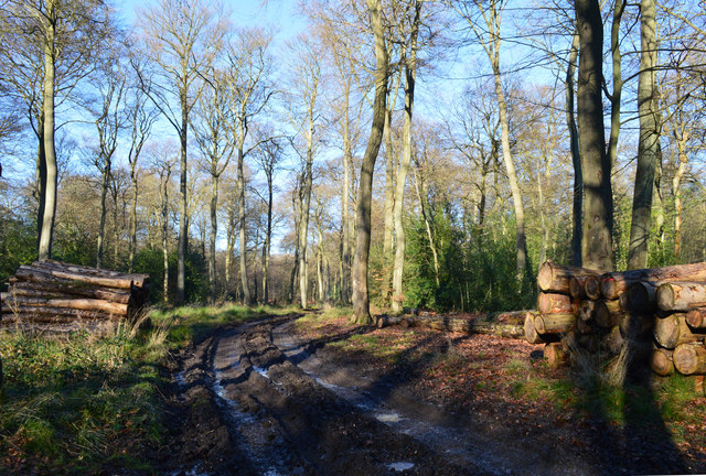
Valentine Wood is a picturesque forest located in Oxfordshire, England. Covering an area of approximately 100 hectares, this woodland is a haven for nature lovers and outdoor enthusiasts. The forest is named after the nearby village of Valentine, which adds to its charm and allure.
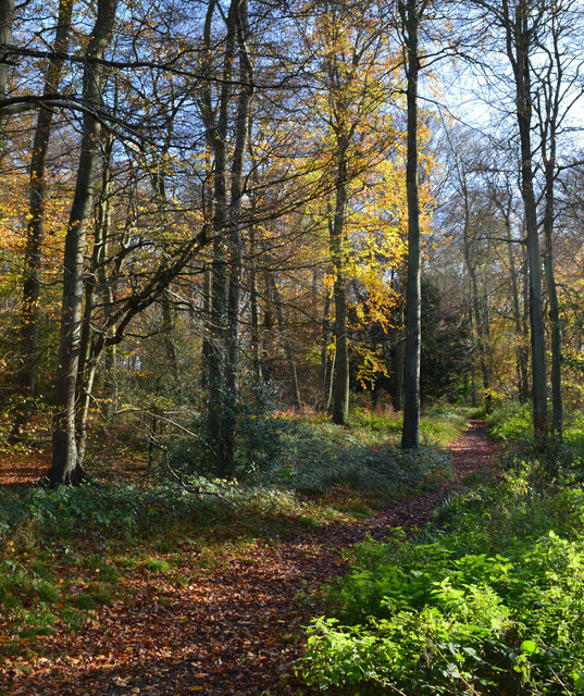
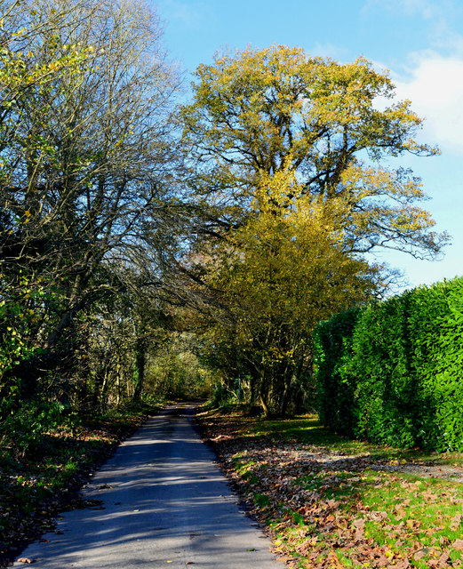
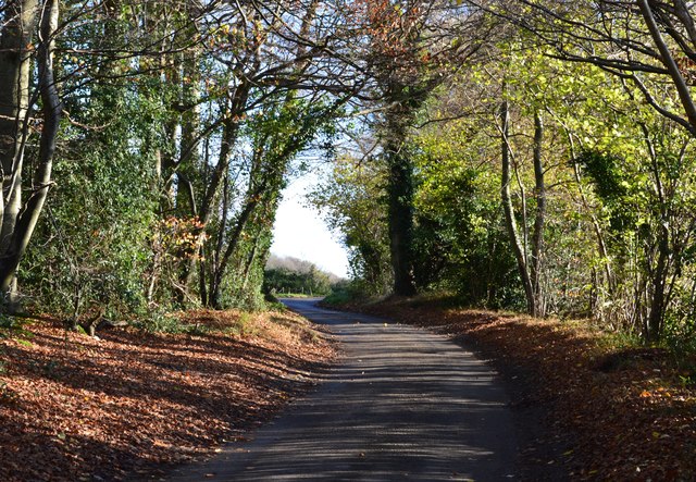
The woodland is predominantly made up of native deciduous trees such as oak, beech, and birch, creating a diverse and vibrant ecosystem. These trees provide a lush canopy that offers shade and shelter to a wide variety of flora and fauna. Walking through Valentine Wood, visitors can enjoy the sight of wildflowers carpeting the forest floor during spring and summer.
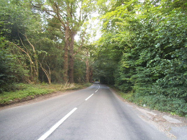
The forest is crisscrossed by a network of well-maintained trails and footpaths, making it an ideal destination for hikers and walkers. These trails offer different levels of difficulty, catering to both casual strollers and more experienced trekkers. Along the way, visitors may encounter wildlife such as deer, squirrels, and a plethora of bird species, making it a prime spot for birdwatching.
Valentine Wood also features a small picnic area where visitors can relax and enjoy a meal amidst the tranquil surroundings. The peaceful atmosphere and the sound of birdsong make it a perfect spot for a family outing or a romantic picnic.
Overall, Valentine Wood is a hidden gem in Oxfordshire, offering a serene and natural escape from the hustle and bustle of everyday life. Its diverse flora and fauna, well-maintained trails, and scenic beauty make it a must-visit destination for anyone seeking a peaceful retreat in nature.
If you have any feedback on the listing, please let us know in the comments section below.
Valentine Wood Images
Images are sourced within 2km of 51.52334/-1.0402606 or Grid Reference SU6680. Thanks to Geograph Open Source API. All images are credited.


Valentine Wood is located at Grid Ref: SU6680 (Lat: 51.52334, Lng: -1.0402606)
Administrative County: Oxfordshire
District: South Oxfordshire
Police Authority: Thames Valley
What 3 Words
///necklaces.speech.grower. Near Rotherfield Peppard, Oxfordshire
Nearby Locations
Related Wikis

Hook End Recording Studios
Hook End Recording Studios was a recording studio located in Hook End Manor, a 16th-century Elizabethan house near Checkendon, Oxfordshire, England. Its...

Exlade Street
Exlade Street is a hamlet in Checkendon civil parish in Oxfordshire, about 6 miles (9.7 km) northwest of Reading, in the Chiltern Hills. The hamlet is...

The Oratory School
The Oratory School () is an HMC co-educational private Roman Catholic boarding and day school for pupils aged 11–18 located in Woodcote, 6 miles (9.7 km...

Wyfold Court
Wyfold Court is a country house at Rotherfield Peppard in south Oxfordshire. It is a Grade II* listed building. By the year 2000, the estate had been converted...

St Peter and St Paul, Checkendon
St Peter and St Paul is the Church of England parish church of Checkendon, a village in Oxfordshire, England. Its parish is part of the Deanery of Henley...

Langtree School
Langtree School is a coeducational secondary school located in the village of Woodcote in South Oxfordshire, England. The school has approximately 624...
Checkendon
Checkendon is a village and civil parish about 6 miles (10 km) west of Henley-on-Thames in South Oxfordshire and about 9 miles (14 km) north west of Reading...

Woodcote
Woodcote is a village and civil parish in South Oxfordshire, about 5 miles (8 km) southeast of Wallingford and about 7 miles (11 km) northwest of Reading...
Nearby Amenities
Located within 500m of 51.52334,-1.0402606Have you been to Valentine Wood?
Leave your review of Valentine Wood below (or comments, questions and feedback).