Ashmoor Wood

Wood, Forest in Oxfordshire South Oxfordshire

England

Ashmoor Wood

Direction Sign – Signpost on Hardwick Road, Whitchurch-on-Thames Located on the southwest side of the junction of Hardwick Road, Sheepwash Lane and a bridleway to Mapledurham, in Whitchurch-on-Thames parish. 3 arms and pawn finial. See also <a title="https://www.geograph.org.uk/photo/2182449" href="https://www.geograph.org.uk/photo/2182449">Link</a>.

Milestone Society National ID: OX_SU6577
Direction Sign – Signpost on Hardwick Road, Whitchurch-on-Thames Credit: John V Nicholls

Ashmoor Wood is a picturesque woodland located in Oxfordshire, England. Spread over a vast area, it is a popular destination for nature enthusiasts and hikers alike. The wood is situated on the outskirts of the village of Ashmoor, surrounded by rolling hills and charming countryside.

Ashmoor Wood is primarily composed of deciduous trees, such as oak, beech, and birch, which create a dense canopy overhead. The forest floor is adorned with a rich carpet of ferns, bluebells, and other wildflowers, adding to the enchanting atmosphere of the wood. The diverse plant life provides a habitat for a variety of wildlife, including deer, rabbits, and numerous bird species.

The wood is crisscrossed by a network of well-maintained footpaths, making it easily accessible for visitors. These paths guide visitors through the diverse terrain, including gentle slopes and hidden valleys, offering breathtaking views of the surrounding countryside.

In addition to its natural beauty, Ashmoor Wood is also home to several historical landmarks. The remains of an ancient Roman road can be found within the wood, serving as a reminder of the area's rich history. The wood has also been the subject of local folklore and legends, further adding to its mystical appeal.

Overall, Ashmoor Wood is a tranquil and idyllic destination, offering a perfect escape from the hustle and bustle of daily life. Whether it is for a leisurely stroll, wildlife spotting, or simply enjoying the serenity of nature, this woodland has something to offer for everyone.

If you have any feedback on the listing, please let us know in the comments section below.
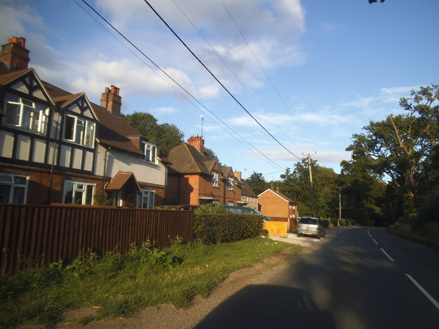
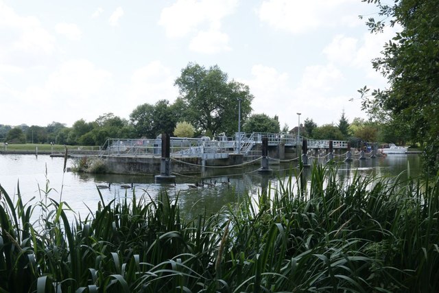
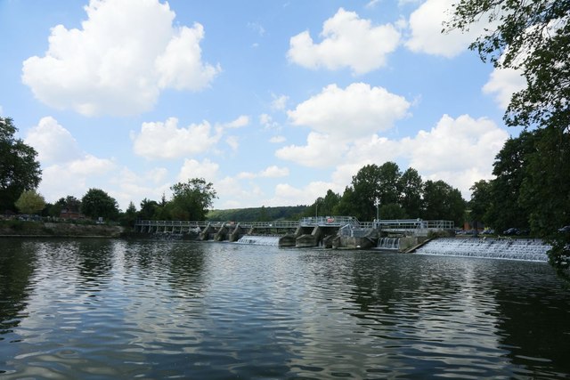
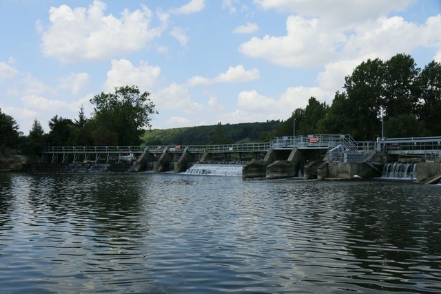
Ashmoor Wood Images

Images are sourced within 2km of 51.499945/-1.0558501 or Grid Reference SU6578. Thanks to Geograph Open Source API. All images are credited.

Direction Sign – Signpost on Hardwick Road, Whitchurch-on-Thames Located on the southwest side of the junction of Hardwick Road, Sheepwash Lane and a bridleway to Mapledurham, in Whitchurch-on-Thames parish. 3 arms and pawn finial. See also <a title="https://www.geograph.org.uk/photo/2182449" href="https://www.geograph.org.uk/photo/2182449">Link</a>.

Milestone Society National ID: OX_SU6577
Direction Sign – Signpost on Hardwick Road, Whitchurch-on-Thames
Located on the southwest side of the junction of Hardwick Road, Sheepwash Lane and a bridleway to Mapledurham, in Whitchurch-on-Thames parish. 3 arms and pawn finial. See also Link. Milestone Society National ID: OX_SU6577
Muddy Lane, Whitchurch-on-Thames No doubt a local name that has been officially adopted, Muddy Lane seems appropriate following a period of heavy rainfall.
Muddy Lane, Whitchurch-on-Thames
No doubt a local name that has been officially adopted, Muddy Lane seems appropriate following a period of heavy rainfall.
 St John the Baptist Church, Whitchurch Hill
St John the Baptist Church, Whitchurch Hill
Elizabeth II postbox, Whitchurch Hill Postbox No. RG8 216.
Elizabeth II postbox, Whitchurch Hill
Postbox No. RG8 216.
Pumpkins by the Greenhouse Back after a couple of years off due to covid, the Tolhurst Organic Farm Squash & Pumpkin Festival was back this year. 
So many pumpkins.
This lot is by one of the old greenhouses which were once part of the Hardwick Hall kitchen garden.
The OS map still marks it with the crosshatch Greenhouse symbol.
Pumpkins by the Greenhouse
Back after a couple of years off due to covid, the Tolhurst Organic Farm Squash & Pumpkin Festival was back this year. So many pumpkins. This lot is by one of the old greenhouses which were once part of the Hardwick Hall kitchen garden. The OS map still marks it with the crosshatch Greenhouse symbol.
Squash & Pumpkin Festival, 2022 After a couple of years off due to covid, the Tolhurst Organic Farm Squash & Pumpkin Festival was back this year. 
We are in the old kitchen garden next to Hardwick Hall for the festival, but the farm covers several nearby fields.
Not just for Halloween, all these varieties are good to eat. Some better than others, but that's vegetables for you.
Squash & Pumpkin Festival, 2022
After a couple of years off due to covid, the Tolhurst Organic Farm Squash & Pumpkin Festival was back this year. We are in the old kitchen garden next to Hardwick Hall for the festival, but the farm covers several nearby fields. Not just for Halloween, all these varieties are good to eat. Some better than others, but that's vegetables for you.
Long Toll at the junction of the B4256
The B4526, Goring Heath
Long Toll at the junction of Goring Road
The King Charles Head, Goring Heath, Oxfordshire The history of this building from pub to private house can be seen here <a href="https://www.geograph.org.uk/photo/26752">SU6678 : Gutteridge Wood and The King Charles Head between Nunney Wood and Collins End</a>and here <a href="https://www.geograph.org.uk/photo/1166729">SU6678 : The King Charles Head</a>.
The King Charles Head, Goring Heath, Oxfordshire
The history of this building from pub to private house can be seen here SU6678 : Gutteridge Wood and The King Charles Head between Nunney Wood and Collins Endand here SU6678 : The King Charles Head.
Mapledurham Weir The weir at Mapledurham from the bank
Mapledurham Weir
The weir at Mapledurham from the bank
Geese on a Plank Some Canada Geese standing on some wood near Mapledurham Weir, it looks like a picnic bench.
Geese on a Plank
Some Canada Geese standing on some wood near Mapledurham Weir, it looks like a picnic bench.
View of the Weir View of Mapledurham weir from the mill island
View of the Weir
View of Mapledurham weir from the mill island
Central part of the Weir The central part of Mapledurham weir
Central part of the Weir
The central part of Mapledurham weir
Geese on the Weir Lot of birdlife standing on this part of the weir at Mapledurham
Geese on the Weir
Lot of birdlife standing on this part of the weir at Mapledurham
Mapledurham Lock View of Mapledurham lock from the mill island
Mapledurham Lock
View of Mapledurham lock from the mill island
Shells under my Feet Wondered what the crunching sound was and looking down saw the area of bank I was stood on was covered in shells discarded by birds after feeding
Shells under my Feet
Wondered what the crunching sound was and looking down saw the area of bank I was stood on was covered in shells discarded by birds after feeding
Show me another place!

Ashmoor Wood is located at Grid Ref: SU6578 (Lat: 51.499945, Lng: -1.0558501)

Administrative County: Oxfordshire

District: South Oxfordshire

Police Authority: Thames Valley

What 3 Words

///detect.defeat.exam. Near Pangbourne, Berkshire

Related Wikis

Hardwick House, Oxfordshire

Hardwick House is a Tudor house on the banks of the River Thames on a slight rise at Whitchurch-on-Thames in the English county of Oxfordshire. It is reputed...

Whitchurch Hill

Whitchurch Hill is a village in the Chiltern Hills in Oxfordshire, about 5.5 miles (9 km) northwest of Reading, Berkshire, near Whitchurch-on-Thames. The...
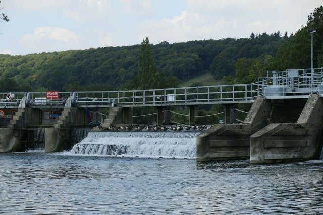
Mapledurham Lock

Mapledurham Lock is a lock and weir situated on the River Thames in England, about 4 miles upstream of Reading. The lock was first built in 1777 by the...

Mapledurham Watermill

Mapledurham Watermill is a historic watermill in the civil parish of Mapledurham in the English county of Oxfordshire. It is driven by the head of water...
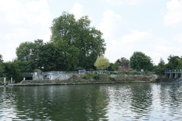
Mapledurham

Mapledurham is a small village, civil parish and country estate beside the River Thames in southern Oxfordshire, England. The large parish borders Caversham...

Mapledurham House

Mapledurham House is an Elizabethan stately home located in the civil parish of Mapledurham in the English county of Oxfordshire. It is a Grade I listed...

Purley on Thames

Purley on Thames (known locally as Purley) is a village and civil parish in Berkshire, England. Purley is centred 3 miles (4.8 km) north-west of Reading...

The Oratory Preparatory School

The Oratory Prep School is a Roman Catholic day and boarding school for some 330 boys and girls aged from two to thirteen, founded in 1925. The school...

Nearby Amenities

Located within 500m of 51.499945,-1.0558501
Bench
Lat/Long: 51.5021313/-1.0495821
Bench
Backrest: yes
Material: wood
Note: In memory of "The Hon Lady Phoebe Rose", "29th Feb 1912 - 25th June 2003"
Seats: 3
Lat/Long: 51.4986445/-1.0568937
Barrier: kissing_gate
Foot: yes
Lat/Long: 51.5016246/-1.0603601
Barrier: kissing_gate
Foot: yes
Lat/Long: 51.5024175/-1.0577924
Barrier: kissing_gate
Foot: yes
Lat/Long: 51.5027051/-1.0565693
Barrier: kissing_gate
Foot: yes
Lat/Long: 51.5030682/-1.0558563
Barrier: kissing_gate
Foot: yes
Lat/Long: 51.5014814/-1.057143
Barrier: kissing_gate
Foot: yes
Lat/Long: 51.5014738/-1.0559958
Barrier: kissing_gate
Foot: yes
Lat/Long: 51.5016451/-1.0543564
Barrier: kissing_gate
Foot: yes
Lat/Long: 51.5018328/-1.0527885
Barrier: kissing_gate
Foot: yes
Lat/Long: 51.5011534/-1.0498105
Barrier: kissing_gate
Foot: yes
Lat/Long: 51.5019204/-1.0497891
Direction: 215
Generator Method: photovoltaic
Generator Output Electricity: yes
Generator Solar Modules: 16
Generator Source: solar
Generator Type: solar_photovoltaic_panel
Location: roof
Power: generator
Lat/Long: 51.5030331/-1.0556367
The data included in this document is from www.openstreetmap.org. The data is made available under ODbL.

Have you been to Ashmoor Wood?

Leave your review of Ashmoor Wood below (or comments, questions and feedback).