Path Hill

Settlement in Oxfordshire South Oxfordshire

England

Path Hill

Direction Sign – Signpost on Hardwick Road, Whitchurch-on-Thames Located on the southwest side of the junction of Hardwick Road, Sheepwash Lane and a bridleway to Mapledurham, in Whitchurch-on-Thames parish. 3 arms and pawn finial. See also <a title="https://www.geograph.org.uk/photo/2182449" href="https://www.geograph.org.uk/photo/2182449">Link</a>.

Milestone Society National ID: OX_SU6577
Direction Sign – Signpost on Hardwick Road, Whitchurch-on-Thames Credit: John V Nicholls

Path Hill is a small village located in the county of Oxfordshire, England. It is situated approximately 5 miles southeast of the town of Wallingford and about 13 miles northeast of the city of Oxford. The village is nestled amidst the picturesque countryside, surrounded by rolling hills and lush green fields.

Path Hill is known for its peaceful and idyllic setting, making it a popular destination for those seeking a tranquil retreat away from the hustle and bustle of city life. The village is characterized by its charming cottages and traditional architecture, which add to its rustic charm.

The community in Path Hill is close-knit, with a small population that fosters a strong sense of belonging and camaraderie among its residents. The village has a local pub, serving as a hub for social gatherings and a place for locals and visitors to unwind.

Nature enthusiasts are drawn to Path Hill due to its proximity to beautiful countryside walks and hiking trails. The surrounding area offers stunning views of the Oxfordshire landscape, making it an ideal location for outdoor activities such as picnics, cycling, and birdwatching.

Although small in size, Path Hill benefits from its close proximity to larger towns and cities. Residents have easy access to amenities and services in nearby Wallingford, which offers a range of shops, restaurants, and schools.

Overall, Path Hill is a charming and tranquil village, providing a peaceful retreat for those seeking a countryside escape while still enjoying the convenience of nearby towns and cities.

If you have any feedback on the listing, please let us know in the comments section below.
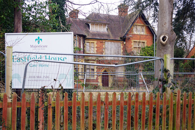
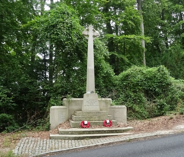
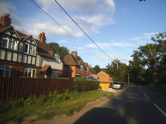
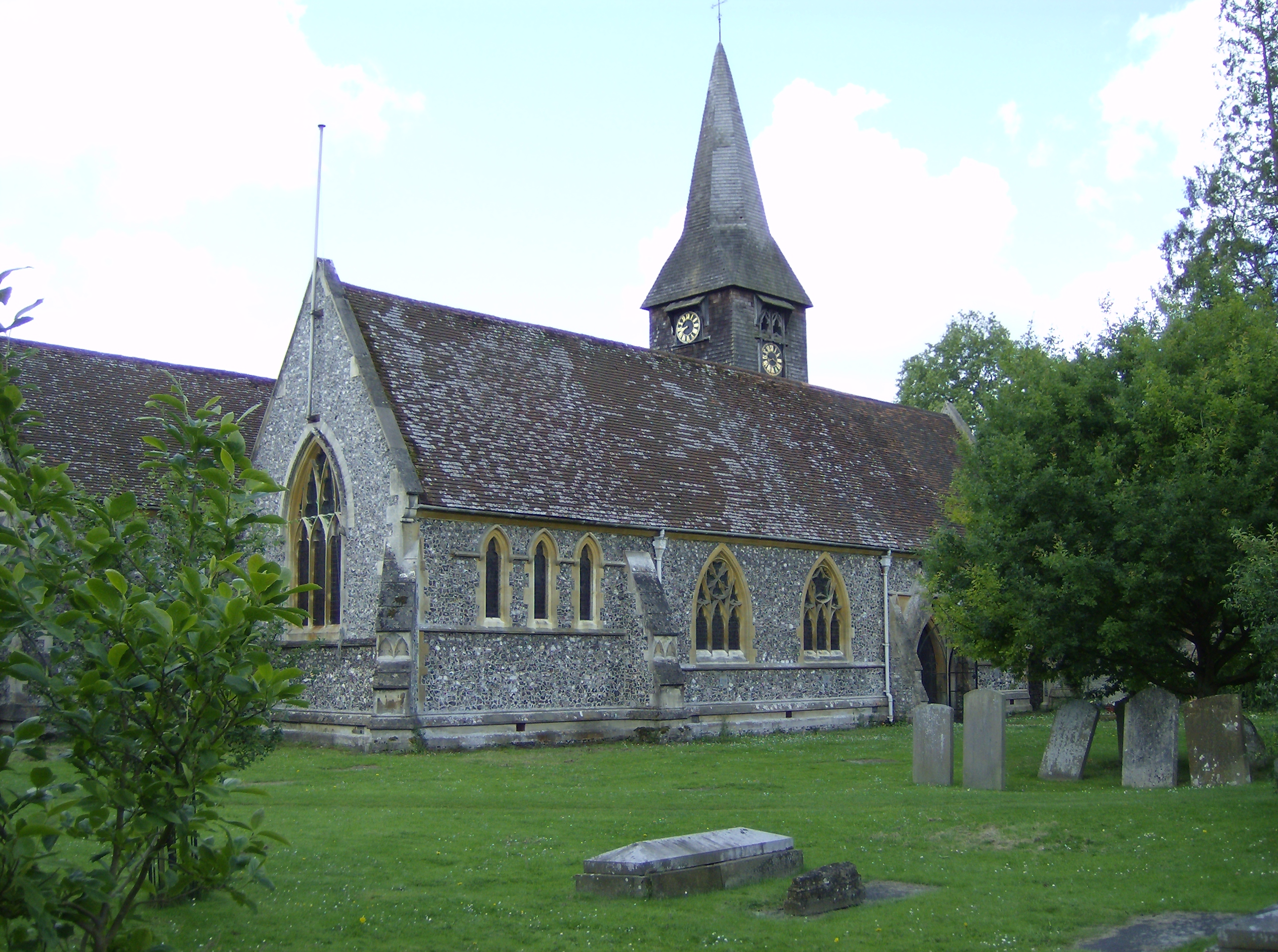
Path Hill Images

Images are sourced within 2km of 51.501496/-1.0620131 or Grid Reference SU6578. Thanks to Geograph Open Source API. All images are credited.

Direction Sign – Signpost on Hardwick Road, Whitchurch-on-Thames Located on the southwest side of the junction of Hardwick Road, Sheepwash Lane and a bridleway to Mapledurham, in Whitchurch-on-Thames parish. 3 arms and pawn finial. See also <a title="https://www.geograph.org.uk/photo/2182449" href="https://www.geograph.org.uk/photo/2182449">Link</a>.

Milestone Society National ID: OX_SU6577
Direction Sign – Signpost on Hardwick Road, Whitchurch-on-Thames
Located on the southwest side of the junction of Hardwick Road, Sheepwash Lane and a bridleway to Mapledurham, in Whitchurch-on-Thames parish. 3 arms and pawn finial. See also Link. Milestone Society National ID: OX_SU6577
Eastfield House, Pangbourne Surrounded by Heras fencing and boarded up, Eastfield House operated as a care home until its closure in 2016. As is usually the case with derelict properties like this, there is a long history of planning wrangles that are still not resolved. The owner is Majesticare and the house was registered to provide accommodation for 27 residents; the company first applied to demolish the building in 2014 but this was rejected. Despite obtaining permission (on appeal) in 2016 to build an extension that would increase the provision to 45 bedrooms, Majesticare then announced that the building was unsuitable for continued use as a care home for several reasons amongst which was the impossibility of providing en-suite facilities for all of the bedrooms. Their new proposal was for a completely new building in a similar red brick style that would have a larger basement to accommodate a kitchen and laundry. This was again refused by South Oxfordshire District Council on the grounds that it could adversely affect the conservation area and could harm two protected trees on the site. That decision was reported early in 2019 and three years later nothing appears to have happened except that, no doubt, the building is gradually deteriorating. This must surely be an unsatisfactory state of affairs for all concerned.
Eastfield House, Pangbourne
Surrounded by Heras fencing and boarded up, Eastfield House operated as a care home until its closure in 2016. As is usually the case with derelict properties like this, there is a long history of planning wrangles that are still not resolved. The owner is Majesticare and the house was registered to provide accommodation for 27 residents; the company first applied to demolish the building in 2014 but this was rejected. Despite obtaining permission (on appeal) in 2016 to build an extension that would increase the provision to 45 bedrooms, Majesticare then announced that the building was unsuitable for continued use as a care home for several reasons amongst which was the impossibility of providing en-suite facilities for all of the bedrooms. Their new proposal was for a completely new building in a similar red brick style that would have a larger basement to accommodate a kitchen and laundry. This was again refused by South Oxfordshire District Council on the grounds that it could adversely affect the conservation area and could harm two protected trees on the site. That decision was reported early in 2019 and three years later nothing appears to have happened except that, no doubt, the building is gradually deteriorating. This must surely be an unsatisfactory state of affairs for all concerned.
Muddy Lane, Whitchurch-on-Thames No doubt a local name that has been officially adopted, Muddy Lane seems appropriate following a period of heavy rainfall.
Muddy Lane, Whitchurch-on-Thames
No doubt a local name that has been officially adopted, Muddy Lane seems appropriate following a period of heavy rainfall.
War Memorial, Whitchurch-on-Thames
Grazing off the B471
B471 heading north Towards Woodcote.
B471 heading north
Towards Woodcote.
 St John the Baptist Church, Whitchurch Hill
St John the Baptist Church, Whitchurch Hill
Grazing and woodland, Whitchurch Hill
B471, Whitchurch Hill Heading north towards Woodcote.
B471, Whitchurch Hill
Heading north towards Woodcote.
Elizabeth II postbox, Whitchurch Hill Postbox No. RG8 216.
Elizabeth II postbox, Whitchurch Hill
Postbox No. RG8 216.
Pumpkins by the Greenhouse Back after a couple of years off due to covid, the Tolhurst Organic Farm Squash & Pumpkin Festival was back this year. 
So many pumpkins.
This lot is by one of the old greenhouses which were once part of the Hardwick Hall kitchen garden.
The OS map still marks it with the crosshatch Greenhouse symbol.
Pumpkins by the Greenhouse
Back after a couple of years off due to covid, the Tolhurst Organic Farm Squash & Pumpkin Festival was back this year. So many pumpkins. This lot is by one of the old greenhouses which were once part of the Hardwick Hall kitchen garden. The OS map still marks it with the crosshatch Greenhouse symbol.
Squash & Pumpkin Festival, 2022 After a couple of years off due to covid, the Tolhurst Organic Farm Squash & Pumpkin Festival was back this year. 
We are in the old kitchen garden next to Hardwick Hall for the festival, but the farm covers several nearby fields.
Not just for Halloween, all these varieties are good to eat. Some better than others, but that's vegetables for you.
Squash & Pumpkin Festival, 2022
After a couple of years off due to covid, the Tolhurst Organic Farm Squash & Pumpkin Festival was back this year. We are in the old kitchen garden next to Hardwick Hall for the festival, but the farm covers several nearby fields. Not just for Halloween, all these varieties are good to eat. Some better than others, but that's vegetables for you.
Long Toll at the junction of the B4256
The B4526, Goring Heath
Long Toll at the junction of Goring Road
The King Charles Head, Goring Heath, Oxfordshire The history of this building from pub to private house can be seen here <a href="https://www.geograph.org.uk/photo/26752">SU6678 : Gutteridge Wood and The King Charles Head between Nunney Wood and Collins End</a>and here <a href="https://www.geograph.org.uk/photo/1166729">SU6678 : The King Charles Head</a>.
The King Charles Head, Goring Heath, Oxfordshire
The history of this building from pub to private house can be seen here SU6678 : Gutteridge Wood and The King Charles Head between Nunney Wood and Collins Endand here SU6678 : The King Charles Head.
Hardwick House Seen from a passing narrowboat.
Hardwick House
Seen from a passing narrowboat.
Show me another place!

Path Hill is located at Grid Ref: SU6578 (Lat: 51.501496, Lng: -1.0620131)

Administrative County: Oxfordshire

District: South Oxfordshire

Police Authority: Thames Valley

What 3 Words

///kite.tennis.losing. Near Pangbourne, Berkshire

Related Wikis

Hardwick House, Oxfordshire

Hardwick House is a Tudor house on the banks of the River Thames on a slight rise at Whitchurch-on-Thames in the English county of Oxfordshire. It is reputed...

Whitchurch Hill

Whitchurch Hill is a village in the Chiltern Hills in Oxfordshire, about 5.5 miles (9 km) northwest of Reading, Berkshire, near Whitchurch-on-Thames. The...

The Oratory Preparatory School

The Oratory Prep School is a Roman Catholic day and boarding school for some 330 boys and girls aged from two to thirteen, founded in 1925. The school...

Whitchurch-on-Thames

Whitchurch-on-Thames is a village and civil parish on the Oxfordshire bank of the River Thames, about 5.5 miles (9 km) northwest of Reading, Berkshire...

Goring Rural District

Goring was a rural district in Oxfordshire, England from 1894 to 1932. It was formed from that part of the Bradfield rural sanitary district which was...

Mapledurham Lock

Mapledurham Lock is a lock and weir situated on the River Thames in England, about 4 miles upstream of Reading. The lock was first built in 1777 by the...

Whitchurch Bridge

Whitchurch Bridge is a toll bridge that carries the B471 road over the River Thames in England. It links the villages of Pangbourne in Berkshire, and Whitchurch...

Mapledurham Watermill

Mapledurham Watermill is a historic watermill in the civil parish of Mapledurham in the English county of Oxfordshire. It is driven by the head of water...

Related Videos

Walking The Thames Path - Part 1 - Purley to Goring

Part 1 of 2022 challenge to walk the entire Thames Path. I am starting from Reading and walking to the source first. After that, I will ...

Hiking the Goring Gap Thames Path Alone

Thank you for watching! #uk #goringgap #thamesriver #solohike.

Pangbourne

Welcome to Pangbourne, a picturesque village located on the banks of the River Thames in Berkshire, England. In this video, we ...

Walking The Thames Path - Part 2 - Goring to Shillingford

Part 2 of my 2022 challenge to walk the entire Thames Path. I am starting from Reading and walking to the source first. After that, I ...

Nearby Amenities

Located within 500m of 51.501496,-1.0620131
Bench
Backrest: yes
Material: wood
Note: In memory of "The Hon Lady Phoebe Rose", "29th Feb 1912 - 25th June 2003"
Seats: 3
Lat/Long: 51.4986445/-1.0568937
Barrier: kissing_gate
Foot: yes
Lat/Long: 51.5016246/-1.0603601
Barrier: kissing_gate
Foot: yes
Lat/Long: 51.5024175/-1.0577924
Post Box
Operator: Royal Mail
Ref: RG8 426
Lat/Long: 51.5014685/-1.0627802
Barrier: kissing_gate
Foot: yes
Lat/Long: 51.502122/-1.0656196
Barrier: kissing_gate
Foot: yes
Lat/Long: 51.5020835/-1.0685932
Barrier: kissing_gate
Foot: yes
Lat/Long: 51.5027051/-1.0565693
Barrier: kissing_gate
Bicycle: no
Foot: yes
Lat/Long: 51.5017494/-1.068241
Barrier: kissing_gate
Foot: yes
Lat/Long: 51.5030682/-1.0558563
Barrier: kissing_gate
Foot: yes
Lat/Long: 51.5014814/-1.057143
Barrier: kissing_gate
Foot: yes
Lat/Long: 51.5014738/-1.0559958
Path Hill
Place: hamlet
Lat/Long: 51.5018416/-1.0628001
Direction: 200
Generator Method: photovoltaic
Generator Output Electricity: yes
Generator Solar Modules: 8
Generator Source: solar
Generator Type: solar_photovoltaic_panel
Location: roof
Power: generator
Lat/Long: 51.5017582/-1.0640216
Direction: 215
Generator Method: photovoltaic
Generator Output Electricity: yes
Generator Solar Modules: 16
Generator Source: solar
Generator Type: solar_photovoltaic_panel
Location: roof
Power: generator
Lat/Long: 51.5030331/-1.0556367
The data included in this document is from www.openstreetmap.org. The data is made available under ODbL.

Have you been to Path Hill?

Leave your review of Path Hill below (or comments, questions and feedback).