Experimental Plots Plantation
Wood, Forest in Oxfordshire South Oxfordshire
England
Experimental Plots Plantation

Experimental Plots Plantation, located in Oxfordshire, is a captivating wood and forest area that serves as a hub for extensive research and experimentation in the field of ecology and forestry. Spanning over a considerable area, this plantation is renowned for its unique purpose of studying the growth, development, and interactions among various species of trees and plants.
The Experimental Plots Plantation presents a diverse range of tree species, carefully selected to represent the natural composition of a woodland, allowing scientists and researchers to observe and analyze the complexities of forest ecosystems. Native British trees like oak, beech, and birch are among the dominant species found within the plantation, creating a harmonious blend of colors during different seasons.
A notable feature of this plantation is the systematic arrangement of plots, each designed to test a specific ecological hypothesis or forestry technique. These plots are meticulously monitored and measured, providing invaluable data on topics such as tree growth rates, biodiversity, and carbon sequestration. The plantation also serves as a living laboratory for studying the impact of climate change and human interventions on woodland ecosystems.
Visitors to Experimental Plots Plantation can witness ongoing experiments and witness firsthand the scientific process of data collection and analysis. Educational guided tours and workshops are frequently organized to engage the public and raise awareness about the importance of sustainable forestry practices.
Overall, Experimental Plots Plantation stands as a prime example of scientific dedication to furthering ecological knowledge and promoting sustainable management of woodland areas. Its contributions to the field of forestry research make it a valuable asset for environmental scientists and nature enthusiasts alike.
If you have any feedback on the listing, please let us know in the comments section below.
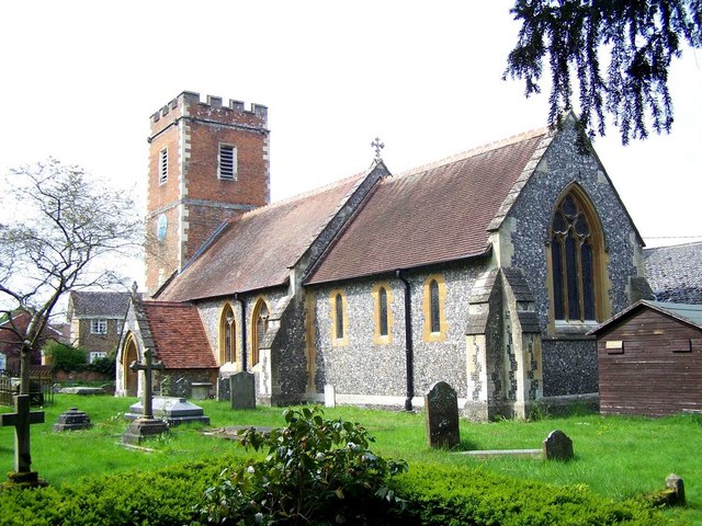
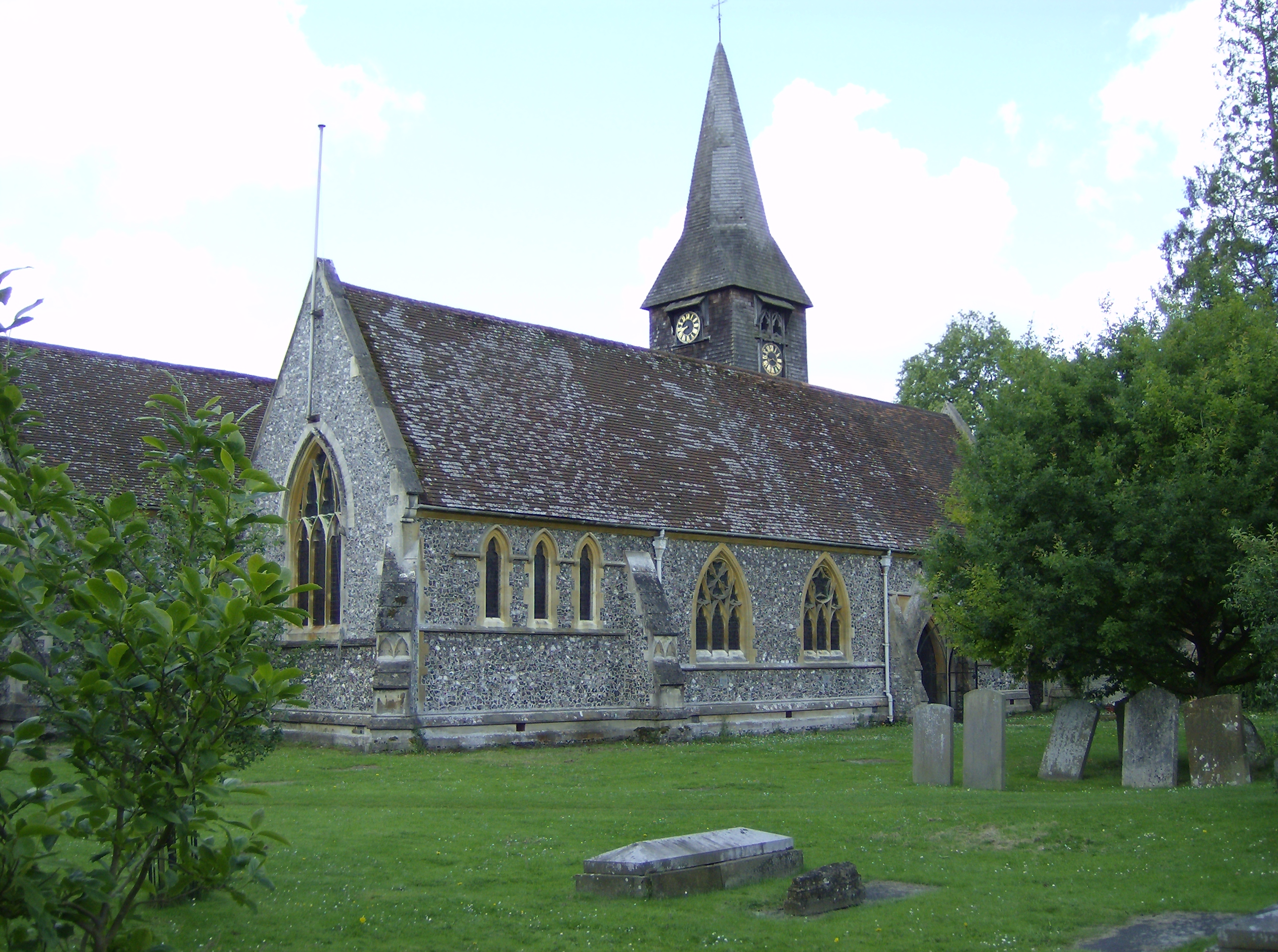
Experimental Plots Plantation Images
Images are sourced within 2km of 51.497716/-1.0549165 or Grid Reference SU6578. Thanks to Geograph Open Source API. All images are credited.


Experimental Plots Plantation is located at Grid Ref: SU6578 (Lat: 51.497716, Lng: -1.0549165)
Administrative County: Oxfordshire
District: South Oxfordshire
Police Authority: Thames Valley
What 3 Words
///forms.tested.foods. Near Pangbourne, Berkshire
Nearby Locations
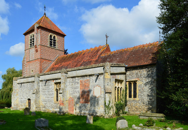
Related Wikis

Hardwick House, Oxfordshire
Hardwick House is a Tudor house on the banks of the River Thames on a slight rise at Whitchurch-on-Thames in the English county of Oxfordshire. It is reputed...

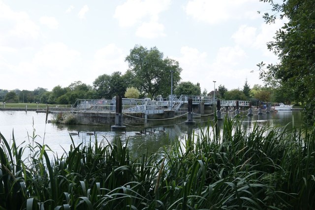
Mapledurham Lock
Mapledurham Lock is a lock and weir situated on the River Thames in England, about 4 miles upstream of Reading. The lock was first built in 1777 by the...

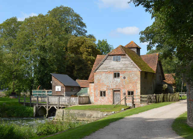
Mapledurham Watermill
Mapledurham Watermill is a historic watermill in the civil parish of Mapledurham in the English county of Oxfordshire. It is driven by the head of water...

Mapledurham
Mapledurham is a small village, civil parish and country estate beside the River Thames in southern Oxfordshire, England. The large parish borders Caversham...

Mapledurham House
Mapledurham House is an Elizabethan stately home located in the civil parish of Mapledurham in the English county of Oxfordshire. It is a Grade I listed...

Whitchurch Hill
Whitchurch Hill is a village in the Chiltern Hills in Oxfordshire, about 5.5 miles (9 km) northwest of Reading, Berkshire, near Whitchurch-on-Thames. The...
Purley on Thames
Purley on Thames (known locally as Purley) is a village and civil parish in Berkshire, England. Purley is centred 3 miles (4.8 km) north-west of Reading...
Whitchurch-on-Thames
Whitchurch-on-Thames is a village and civil parish on the Oxfordshire bank of the River Thames, about 5.5 miles (9 km) northwest of Reading, Berkshire...
Nearby Amenities
Located within 500m of 51.497716,-1.0549165Have you been to Experimental Plots Plantation?
Leave your review of Experimental Plots Plantation below (or comments, questions and feedback).