Baulk Plantation
Wood, Forest in Oxfordshire South Oxfordshire
England
Baulk Plantation

Baulk Plantation is a beautiful woodland located in the county of Oxfordshire, England. Situated near the village of Wood, this enchanting forest covers an area of approximately 200 acres, making it a significant natural attraction in the region.
The plantation is predominantly composed of ancient woodland, boasting a diverse range of tree species such as oak, beech, ash, and birch. These majestic trees create a lush canopy that provides a haven for various wildlife species, including deer, foxes, badgers, and a plethora of bird species.
The woodland is crisscrossed by a network of well-maintained footpaths, allowing visitors to explore the plantation at their leisure. These paths lead to various points of interest, including a serene pond and a small stream that meanders through the forest, adding to the tranquility and natural beauty of the area.
Baulk Plantation is also known for its rich biodiversity, hosting a wide array of plant species. Bluebells carpet the forest floor in the spring, creating a stunning display of color, while wildflowers flourish throughout the summer months.
The woodland is a popular destination for nature enthusiasts, hikers, and picnickers, offering a peaceful retreat from the hustle and bustle of everyday life. It provides an ideal setting for outdoor activities such as walking, birdwatching, and photography, allowing visitors to immerse themselves in the natural splendor of the Oxfordshire countryside.
Overall, Baulk Plantation is a captivating woodland that offers a captivating experience for those seeking to connect with nature and enjoy the tranquility of the English countryside.
If you have any feedback on the listing, please let us know in the comments section below.
Baulk Plantation Images
Images are sourced within 2km of 51.497691/-1.0595702 or Grid Reference SU6578. Thanks to Geograph Open Source API. All images are credited.


Baulk Plantation is located at Grid Ref: SU6578 (Lat: 51.497691, Lng: -1.0595702)
Administrative County: Oxfordshire
District: South Oxfordshire
Police Authority: Thames Valley
What 3 Words
///relax.bared.begins. Near Pangbourne, Berkshire
Related Wikis

Hardwick House, Oxfordshire
Hardwick House is a Tudor house on the banks of the River Thames on a slight rise at Whitchurch-on-Thames in the English county of Oxfordshire. It is reputed...

Whitchurch Hill
Whitchurch Hill is a village in the Chiltern Hills in Oxfordshire, about 5.5 miles (9 km) northwest of Reading, Berkshire, near Whitchurch-on-Thames. The...

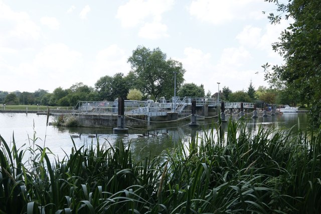
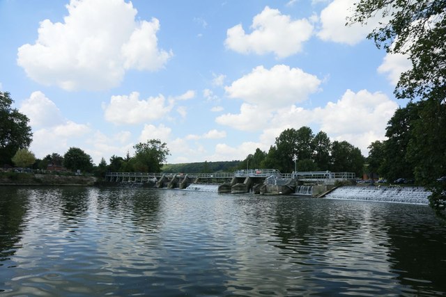
Mapledurham Lock
Mapledurham Lock is a lock and weir situated on the River Thames in England, about 4 miles upstream of Reading. The lock was first built in 1777 by the...

Mapledurham Watermill
Mapledurham Watermill is a historic watermill in the civil parish of Mapledurham in the English county of Oxfordshire. It is driven by the head of water...

Mapledurham
Mapledurham is a small village, civil parish and country estate beside the River Thames in southern Oxfordshire, England. The large parish borders Caversham...
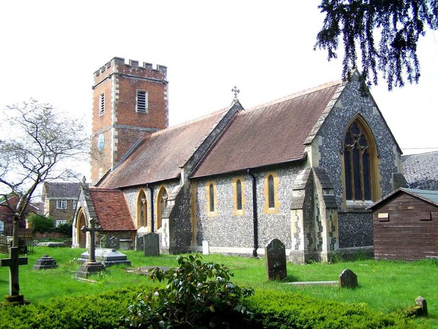
Whitchurch-on-Thames
Whitchurch-on-Thames is a village and civil parish on the Oxfordshire bank of the River Thames, about 5.5 miles (9 km) northwest of Reading, Berkshire...
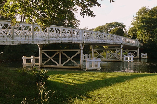
Whitchurch Bridge
Whitchurch Bridge is a toll bridge that carries the B471 road over the River Thames in England. It links the villages of Pangbourne in Berkshire, and Whitchurch...
Purley on Thames
Purley on Thames (known locally as Purley) is a village and civil parish in Berkshire, England. Purley is centred 3 miles (4.8 km) north-west of Reading...
Nearby Amenities
Located within 500m of 51.497691,-1.0595702Have you been to Baulk Plantation?
Leave your review of Baulk Plantation below (or comments, questions and feedback).