Paul's Grove
Wood, Forest in Oxfordshire South Oxfordshire
England
Paul's Grove

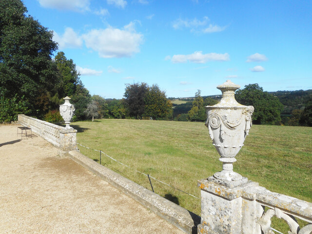
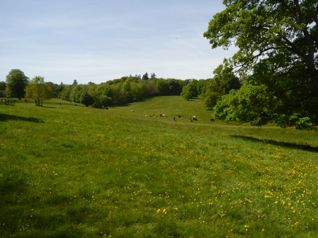
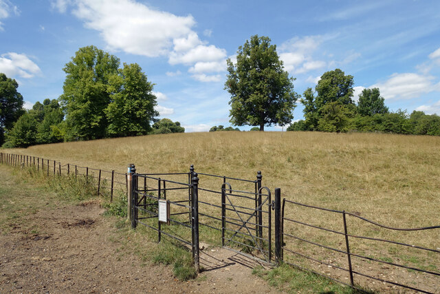
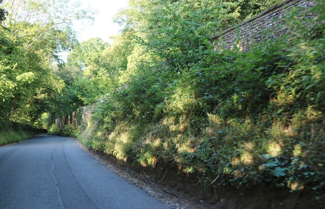
Paul's Grove is a picturesque woodland area located in Oxfordshire, England. Situated amidst the rolling countryside, it is renowned for its lush greenery and rich biodiversity. Covering an expansive area, Paul's Grove is a haven for nature lovers, hikers, and outdoor enthusiasts.
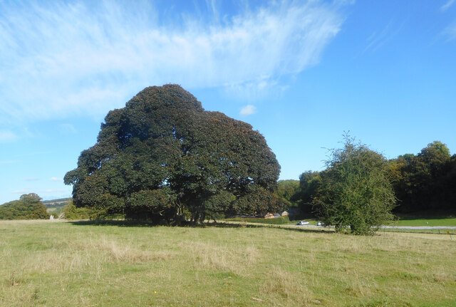
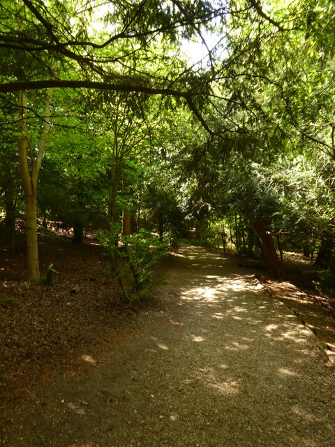
The woodland is predominantly composed of deciduous trees, including oak, beech, and birch, which create a stunning canopy during the summer months. These trees provide ample shade and create a cool and tranquil atmosphere, making it an ideal destination for those seeking respite from the hustle and bustle of daily life.
Paul's Grove is home to a diverse range of wildlife, and visitors can often spot an array of bird species, such as woodpeckers, owls, and songbirds. The forest floor is adorned with an abundance of wildflowers, including bluebells, primroses, and foxgloves, adding pops of color to the verdant surroundings.
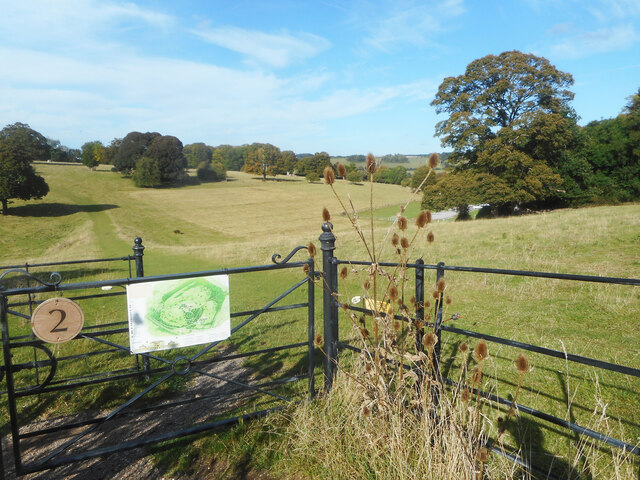
Traversing through Paul's Grove, visitors can explore numerous walking trails, allowing them to fully immerse themselves in the natural beauty of the area. These trails wind their way through the forest, offering breathtaking views of the surrounding countryside and providing opportunities for wildlife spotting.
With its idyllic setting and serene ambiance, Paul's Grove is not only a popular destination for locals seeking outdoor recreation but also attracts tourists from far and wide. Whether one is looking to reconnect with nature, indulge in photography, or simply enjoy a peaceful stroll, Paul's Grove offers an enchanting woodland experience that is sure to leave a lasting impression.
If you have any feedback on the listing, please let us know in the comments section below.
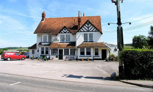
Paul's Grove Images
Images are sourced within 2km of 51.508591/-1.1046486 or Grid Reference SU6279. Thanks to Geograph Open Source API. All images are credited.


Paul's Grove is located at Grid Ref: SU6279 (Lat: 51.508591, Lng: -1.1046486)
Administrative County: Oxfordshire
District: South Oxfordshire
Police Authority: Thames Valley
What 3 Words
///boast.tonsils.anchorman. Near Goring, Oxfordshire
Nearby Locations
Related Wikis

Hartslock
Hartslock, also known as Hartslock Woods, is a 41.8-hectare (103-acre) biological Site of Special Scientific Interest (SSSI) in a wooded area on the north...
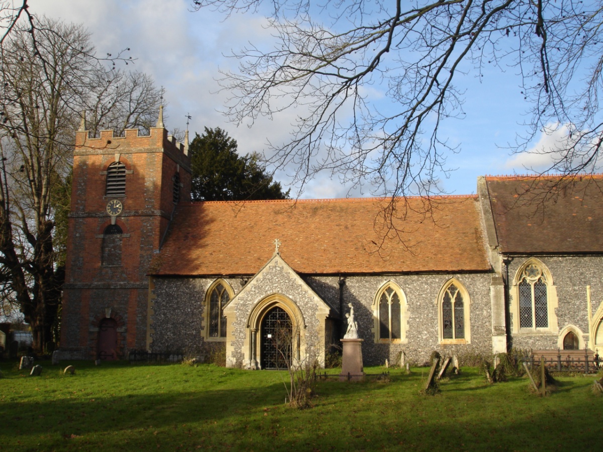
St Bartholomew's Church, Lower Basildon
St Bartholomew's Church is the redundant Church of England parish church of Basildon in the English county of Berkshire. It lies in the hamlet of Lower...

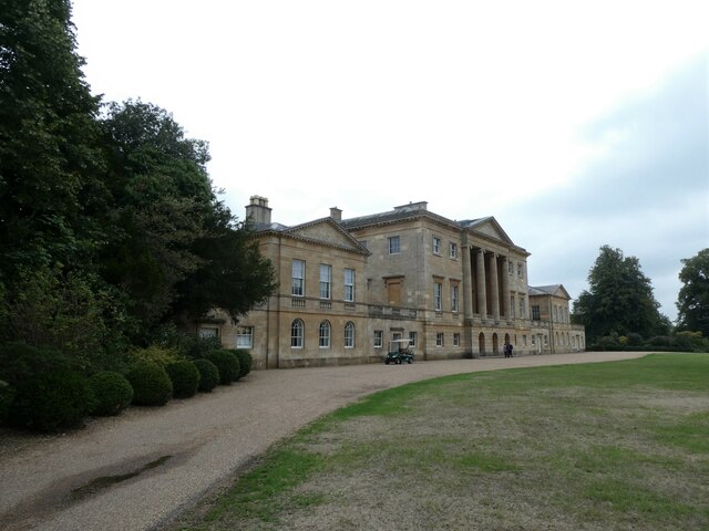
Beale Wildlife Park
Beale Wildlife Park is situated by the River Thames, between the villages of Pangbourne and Lower Basildon in Berkshire, England. It has three main areas...

Goring Rural District
Goring was a rural district in Oxfordshire, England from 1894 to 1932. It was formed from that part of the Bradfield rural sanitary district which was...
A329 road
The A329 is an east–west road in Southern England that runs from Wentworth in Surrey to Thame in Oxfordshire. == Route == The A329 starts at the A30 in...

Goring Heath
Goring Heath is a hamlet and civil parish in the Chiltern Hills in South Oxfordshire. The civil parish includes the villages of Whitchurch Hill and Crays...
Lower Basildon
Lower Basildon is a small English village in the civil parish of Basildon, near Pangbourne, in the county of Berkshire. == Amenities == === Shops and... ===
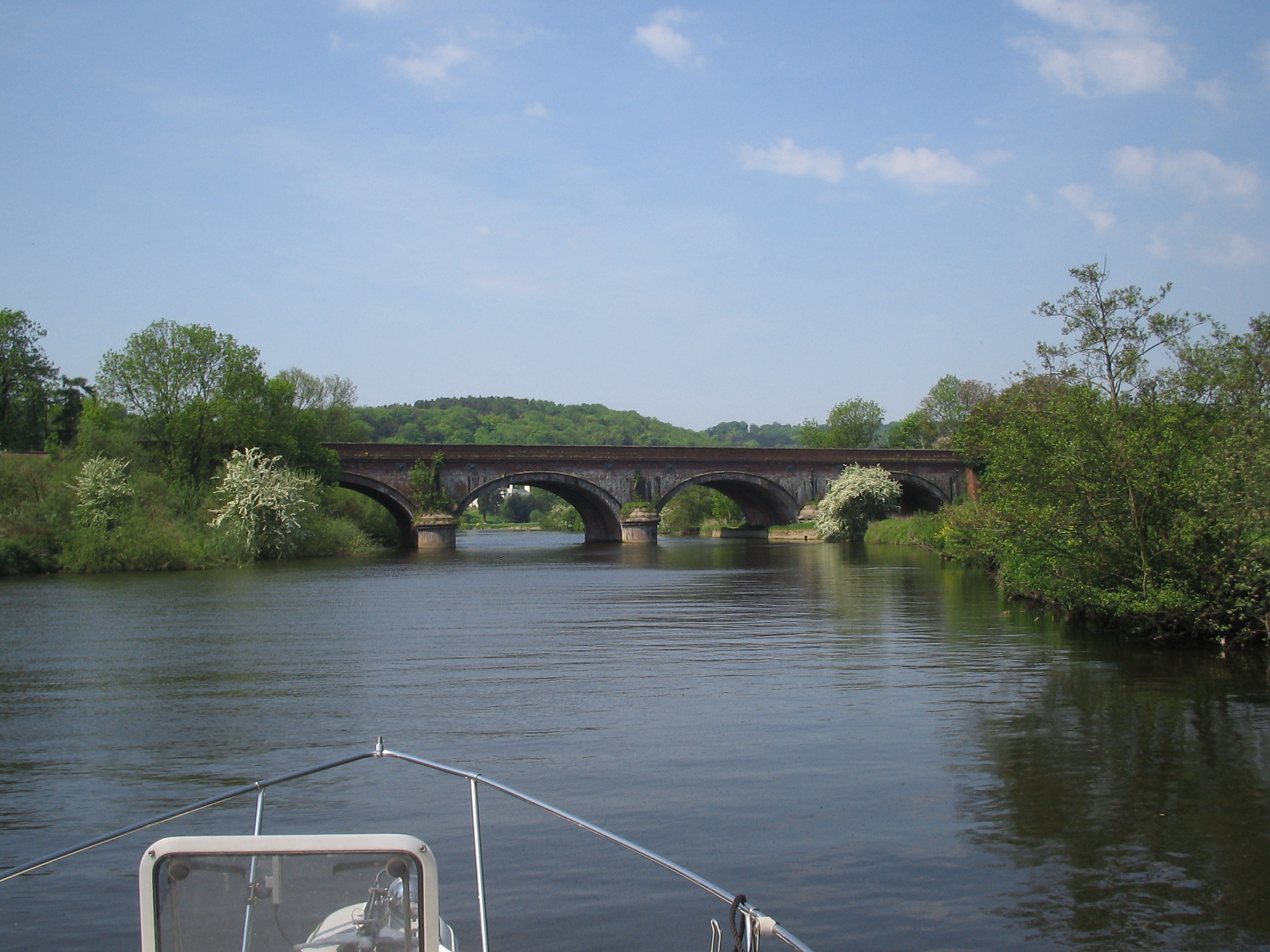
Gatehampton Railway Bridge
Gatehampton Railway Bridge, otherwise referred to as Gatehampton Viaduct, is a railway bridge carrying the Great Western Main Line over the River Thames...
Nearby Amenities
Located within 500m of 51.508591,-1.1046486Have you been to Paul's Grove?
Leave your review of Paul's Grove below (or comments, questions and feedback).