Gold Oak Copse
Wood, Forest in Hampshire Basingstoke and Deane
England
Gold Oak Copse

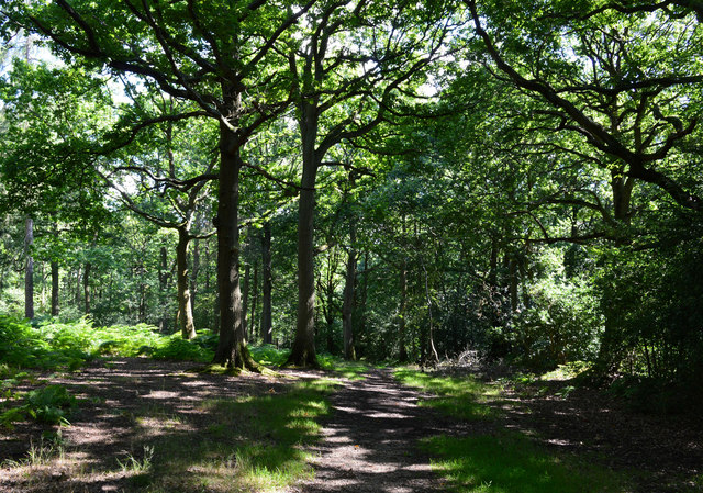
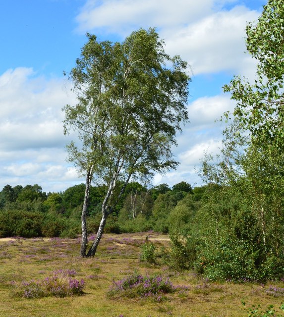
Gold Oak Copse is a captivating woodland located in Hampshire, England. Covering an area of approximately 100 acres, it is a significant natural treasure in the region. The copse is predominantly made up of ancient oak trees, with some estimated to be over 400 years old, lending an air of majesty and grandeur to the forest.
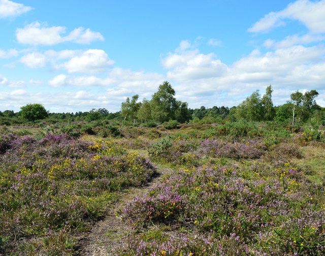
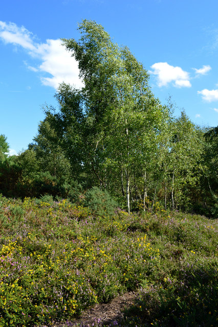
The woodland boasts a diverse range of flora and fauna, making it a haven for nature enthusiasts and wildlife admirers. Bluebells carpet the forest floor in spring, creating a breathtakingly beautiful spectacle, while rare orchids can also be found nestled among the undergrowth. The copse is home to a variety of bird species, including woodpeckers, owls, and warblers, whose songs can be heard echoing through the trees.
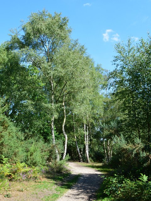
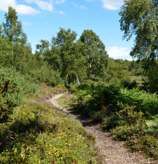
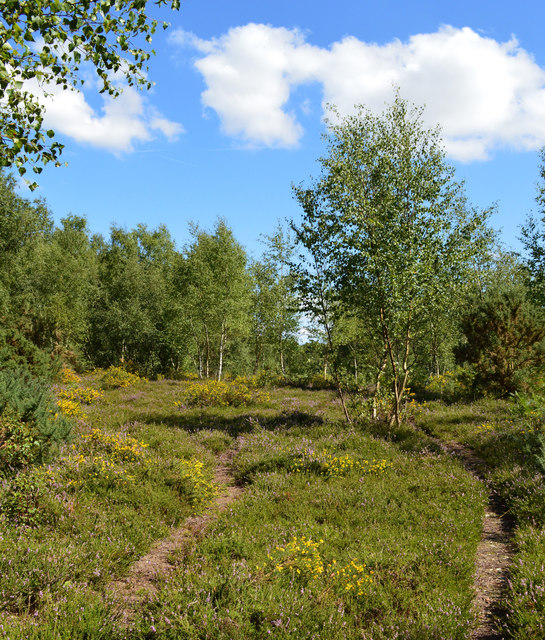
Walking through the woodland, visitors can enjoy the tranquil atmosphere and immerse themselves in nature's embrace. The well-maintained footpaths offer a network of trails, allowing exploration of the copse's different areas. As one ventures deeper into the woods, the canopy of branches overhead creates a sense of seclusion and provides shade on a warm summer's day.
Gold Oak Copse is not only a haven for wildlife but also a place of historical significance. The ancient oaks bear witness to centuries of human activity and have been referenced in local folklore and legends. The copse has also been designated as a Site of Special Scientific Interest (SSSI), acknowledging its ecological importance and ensuring its preservation for future generations to enjoy.
If you have any feedback on the listing, please let us know in the comments section below.
Gold Oak Copse Images
Images are sourced within 2km of 51.339812/-1.1078969 or Grid Reference SU6260. Thanks to Geograph Open Source API. All images are credited.


Gold Oak Copse is located at Grid Ref: SU6260 (Lat: 51.339812, Lng: -1.1078969)
Administrative County: Hampshire
District: Basingstoke and Deane
Police Authority: Hampshire
What 3 Words
///suckle.lawyer.skunks. Near Tadley, Hampshire
Nearby Locations
Related Wikis

Pamber Forest and Silchester Common
Pamber Forest and Silchester Common is a 341.7-hectare (844-acre) biological Site of Special Scientific Interest in Tadley in Hampshire. Pamber Forest...

Little London, Tadley, Hampshire
Little London is a village situated between the North Hampshire Downs and the gravel plains of the Kennet valley, 7 miles (11 km) north of Basingstoke...
Pamber Green
Pamber Green is a hamlet in north Hampshire, England. == Governance == Pamber Green is part of the parish of Pamber, which covers Pamber Heath, Pamber...
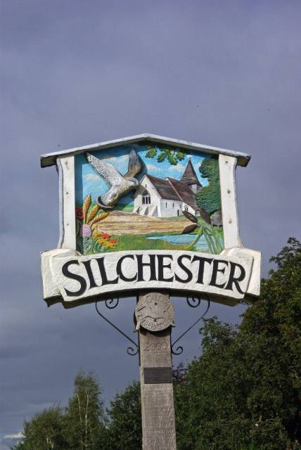
Silchester
Silchester is a village and civil parish about 5 miles (8 km) north of Basingstoke in Hampshire. It is adjacent to the county boundary with Berkshire and...
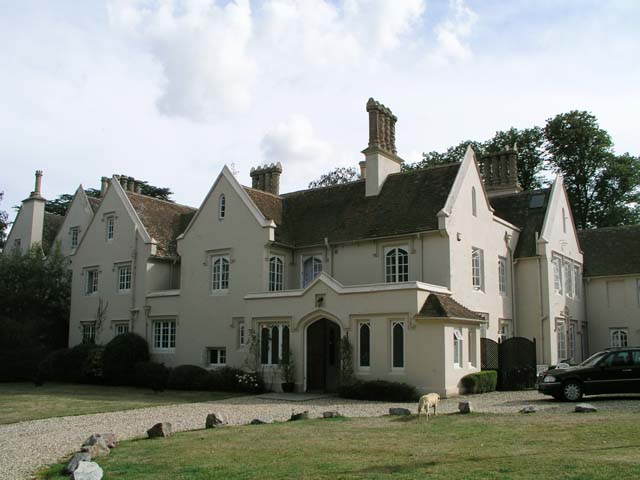
Silchester House
Silchester House is a Victorian mansion located in Silchester, England on the Hampshire and Berkshire border. The west wing of the house dates back to...

Pamber
Pamber is a civil parish located in the north of Hampshire, England, near the border with Berkshire. The parish population at the 2011 Census was 2,613...
Ron Ward's Meadow With Tadley Pastures
Ron Ward's Meadow With Tadley Pastures is a site of Site of Special Scientific Interest (SSSI). It is based on the edge of Tadley in Hampshire, England...
Pamber End
Pamber End is a hamlet in north Hampshire, England. Located south of Tadley.. == Governance == Pamber End is part of the civil parish of Pamber (where...
Nearby Amenities
Located within 500m of 51.339812,-1.1078969Have you been to Gold Oak Copse?
Leave your review of Gold Oak Copse below (or comments, questions and feedback).