Ash Copse

Wood, Forest in Berkshire

England

Ash Copse

Grazing near Goring
Grazing near Goring Credit: JThomas

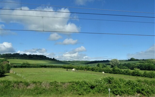
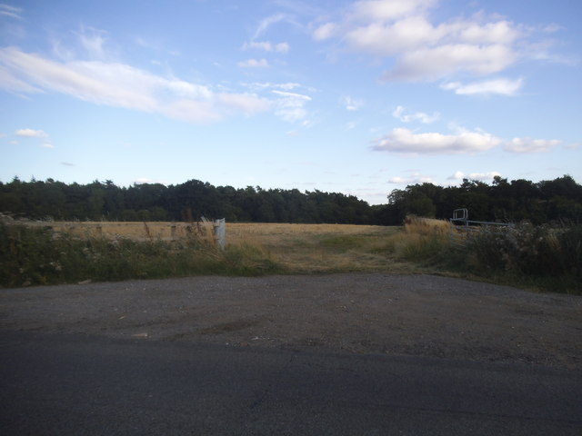
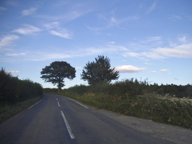
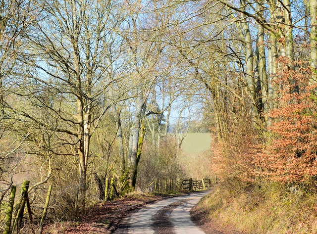
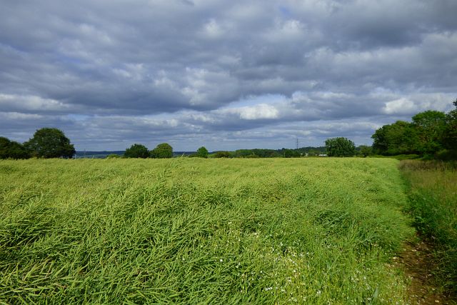
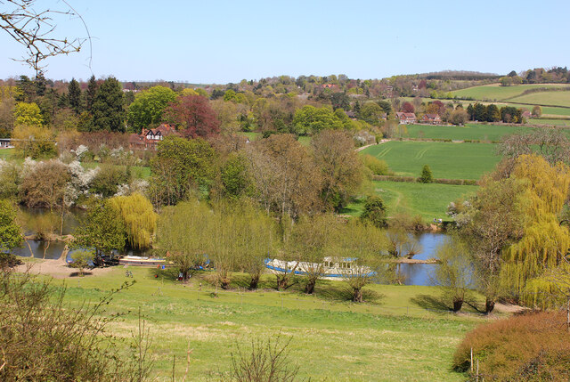
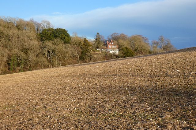
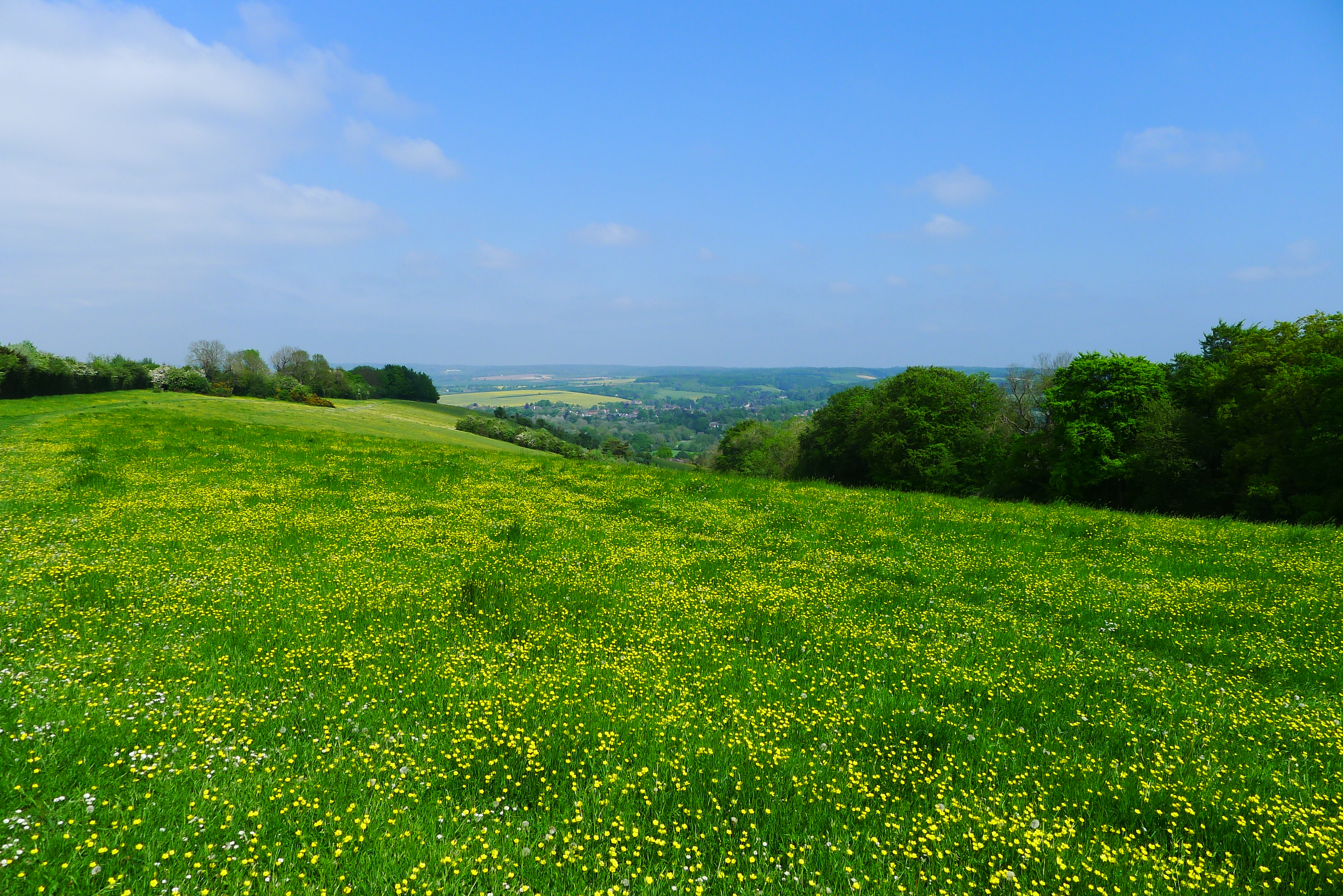
Ash Copse is a picturesque woodland located in Berkshire, England. Situated in the southern part of the county, it covers an area of approximately 100 acres and is known for its diverse range of trees and wildlife. The copse is primarily composed of ash trees, which give it its name, but it also features a mixture of other deciduous and coniferous trees.

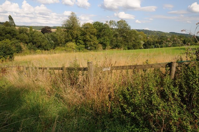
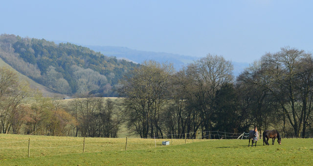
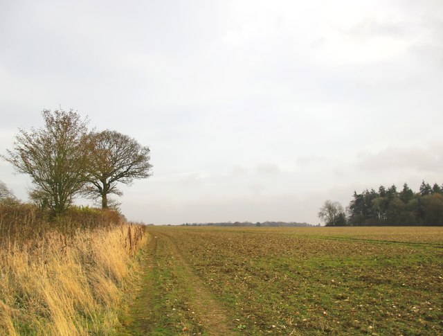
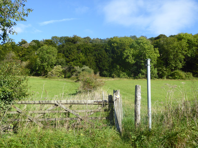
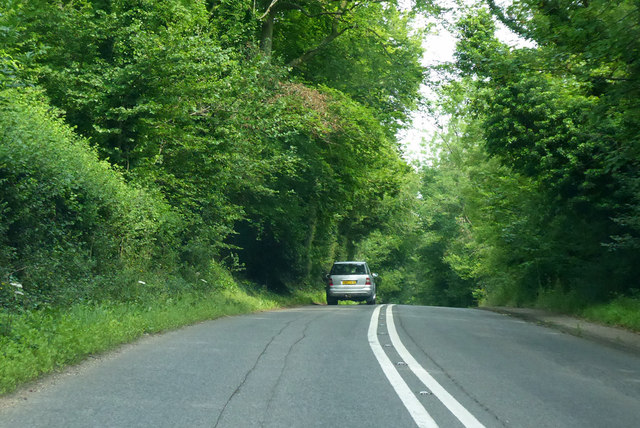
The woodland is a popular destination for nature lovers and walkers, offering a tranquil and serene environment. The dense canopy of trees provides shade during the summer months, making it a cool and refreshing place to explore. Walking trails crisscross the copse, allowing visitors to navigate through its winding paths and discover its hidden gems.

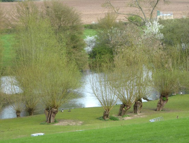
Ash Copse is not only visually appealing but also boasts a rich biodiversity. The woodland is home to various species of birds, including woodpeckers, owls, and thrushes, which can be heard chirping and singing throughout the day. Squirrels and rabbits are also commonly spotted darting among the undergrowth, while badgers and foxes occasionally make an appearance.

In addition to its natural beauty, the copse also has historical significance. It is believed to have been used as a source of timber for centuries, with remnants of old saw pits and charcoal hearths still visible today. These remnants serve as a reminder of the copse's past and its importance in the local economy.

Overall, Ash Copse is a haven for nature enthusiasts, offering a tranquil escape from the hustle and bustle of everyday life. Its lush greenery, diverse wildlife, and historical significance make it a truly unique and cherished woodland in Berkshire.

If you have any feedback on the listing, please let us know in the comments section below.

Ash Copse Images

Images are sourced within 2km of 51.513282/-1.1527749 or Grid Reference SU5879. Thanks to Geograph Open Source API. All images are credited.

Grazing near Goring
Grazing near Goring
Tesco Express, Goring This building, on the corner of Gatehampton Road and Reading Road, is unmistakeably a former pub - one of many around the country taken over by Tesco for a convenience store. Until it was closed in 2013 it was the Queens Arms, owned by Greene King, and opened by Tesco in August 2017. It is not known exactly when the pub was established; the first known reference was in 1843 but it seems likely that it was more or less contemporary with the nearby railway station opened a few years before.
Tesco Express, Goring
This building, on the corner of Gatehampton Road and Reading Road, is unmistakeably a former pub - one of many around the country taken over by Tesco for a convenience store. Until it was closed in 2013 it was the Queens Arms, owned by Greene King, and opened by Tesco in August 2017. It is not known exactly when the pub was established; the first known reference was in 1843 but it seems likely that it was more or less contemporary with the nearby railway station opened a few years before.
Gatehampton Road, Goring This is the view of Goring anybody emerging from Goring & Streatley station gets. In this image the main station buildings, protected by a canopy, are on the immediate left with a covered cycle rack beyond. The late afternoon sunshine catches the buildings further up the road, including a former pub now a Tesco Express, while three teenage boys approach having finished school for the day. The National Rail sign, perched on top of a high pole, completes the scene. Although an ancient settlement, Goring began to develop when the railway arrived in the 1830s and is now a sizeable commuter village with a population in excess of 3,000. Streatley is a smaller place connected to Goring by a bridge over the River Thames.
Gatehampton Road, Goring
This is the view of Goring anybody emerging from Goring & Streatley station gets. In this image the main station buildings, protected by a canopy, are on the immediate left with a covered cycle rack beyond. The late afternoon sunshine catches the buildings further up the road, including a former pub now a Tesco Express, while three teenage boys approach having finished school for the day. The National Rail sign, perched on top of a high pole, completes the scene. Although an ancient settlement, Goring began to develop when the railway arrived in the 1830s and is now a sizeable commuter village with a population in excess of 3,000. Streatley is a smaller place connected to Goring by a bridge over the River Thames.
Field entrance in Westridge Green
The B4009, Westridge Green
Farmland above the River Thames Farmland above the River Thames, south of Streatley.
Farmland above the River Thames
Farmland above the River Thames, south of Streatley.
Farmland, Streatley, Berkshire
Downland, Stichens Green, Berkshire
Country lane, Lower Basildon, Berkshire
Downland arable near Westridge Green The land may be fairly level, but the elevation here is about 165m.  Photo taken on a mild but rather sunless afternoon in December.
Downland arable near Westridge Green
The land may be fairly level, but the elevation here is about 165m. Photo taken on a mild but rather sunless afternoon in December.
Old pollard willows on the river bank, downstream from Streatley There are some very ancient-looking  pollard willows along this stretch of the Thames.  These are on private land, so I took a zoom shot from close to the A329.

These trees also appear in Bill Nicholls' contribution <a href="https://www.geograph.org.uk/photo/1592751">SU5979 : Island in the river</a> near the right-hand margin.
Old pollard willows on the river bank, downstream from Streatley
There are some very ancient-looking pollard willows along this stretch of the Thames. These are on private land, so I took a zoom shot from close to the A329. These trees also appear in Bill Nicholls' contribution SU5979 : Island in the river near the right-hand margin.
Footpath towards Harley Hill Wood No stile, just a narrow gap past the gate.
Footpath towards Harley Hill Wood
No stile, just a narrow gap past the gate.
Farmland, Ashampstead A crop of oil-seed rape beside the Aldworth to Upper Basildon road.
Farmland, Ashampstead
A crop of oil-seed rape beside the Aldworth to Upper Basildon road.
A329 towards Streatley Passing Holies Walk Wood.
A329 towards Streatley
Passing Holies Walk Wood.
Direction Sign – Signpost Located on the west side of the t junction east of Wood Farm in Streatley parish. 3 arms and a flat cap.

Milestone Society National ID: BE_SU5879
Direction Sign – Signpost
Located on the west side of the t junction east of Wood Farm in Streatley parish. 3 arms and a flat cap. Milestone Society National ID: BE_SU5879
A329, Reading Road towards Streatley
River Thames The River Thames at Goring.
River Thames
The River Thames at Goring.
Farmland, Streatley With a house perched on a hillside at the southern end of Ash Copse.
Farmland, Streatley
With a house perched on a hillside at the southern end of Ash Copse.
Show me another place!

Ash Copse is located at Grid Ref: SU5879 (Lat: 51.513282, Lng: -1.1527749)

Unitary Authority: West Berkshire

Police Authority: Thames Valley

What 3 Words

///opts.flanked.taps. Near Goring, Oxfordshire

Related Wikis

Holies Down

Holies Down is a 5.6-hectare (14-acre) biological Site of Special Scientific Interest south of Streatley in Berkshire. It is in the North Wessex Downs...

Genetic Studios

Genetic Studios (also known as Genetic Sound) was a recording studio in Streatley, England. == History == Genetic was established in 1980 by Martin Rushent...

Lardon Chase, the Holies and Lough Down

Lardon Chase, the Holies and Lough Down is a National Trust countryside property in the English county of Berkshire. It is situated on the edge of the...

Lardon Chase

Lardon Chase is a 14.9-hectare (37-acre) biological Site of Special Scientific Interest in Streatley in Berkshire. It is in the North Wessex Downs, which...

Streatley, Berkshire

Streatley is a village and civil parish on the River Thames in Berkshire, England. The village faces Goring-on-Thames. The two places share in their shops...

Goring & Streatley Golf Club

Goring & Streatley Golf Club is a golf course in the village of Streatley, in the English county of Berkshire. It takes its name partly from that village...

Goring and Streatley Bridge

Goring and Streatley Bridge is a road bridge across the River Thames in England. The bridge links the twin villages of Goring-on-Thames, Oxfordshire, and...

Goring Lock

Goring Lock is a lock and weir situated on the River Thames in England at the Goring Gap in the Chiltern Hills. The lock is located on the Oxfordshire...

Nearby Amenities

Located within 500m of 51.513282,-1.1527749
Bench
Backrest: no
Check Date: 2022-12-03
Lat/Long: 51.5163175/-1.147456
Barrier: kissing_gate
Lat/Long: 51.515856/-1.1539978
Barrier: stile
Lat/Long: 51.5165915/-1.1536851
Bench
Backrest: no
Lat/Long: 51.51675/-1.1545849
Watering Place
Lat/Long: 51.5151524/-1.1466295
Bench
Backrest: no
Lat/Long: 51.5164429/-1.1518293
The data included in this document is from www.openstreetmap.org. The data is made available under ODbL.

Have you been to Ash Copse?

Leave your review of Ash Copse below (or comments, questions and feedback).