Hookham Copse
Wood, Forest in Hampshire Winchester
England
Hookham Copse

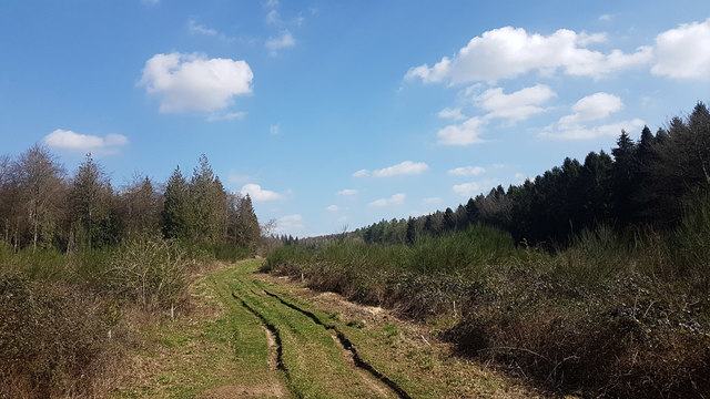
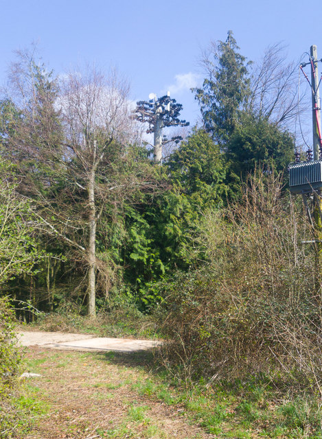
Hookham Copse is a picturesque woodland located in the county of Hampshire, England. Situated near the village of Hook, it covers an area of approximately 100 acres and is a popular destination for nature enthusiasts and outdoor enthusiasts.
The copse is predominantly made up of native broadleaf trees, including oak, beech, and ash, which create a diverse and vibrant ecosystem. The dense canopy of the trees provides ample shade, making it an ideal place for a leisurely stroll on hot summer days. The forest floor is adorned with a variety of wildflowers, ferns, and mosses, adding to its natural beauty.
Walking trails meander through the copse, allowing visitors to explore its enchanting surroundings. The trails are well-maintained and suitable for walkers of all abilities. Along the way, visitors may encounter a range of wildlife, including birds, squirrels, and even the occasional deer.
Hookham Copse is known for its tranquility and peaceful atmosphere, making it a perfect escape from the hustle and bustle of daily life. The sound of birdsong fills the air, creating a serene ambiance that adds to the overall charm of the woodland.
The copse is open to the public year-round and is free to enter. It is advisable to wear appropriate footwear, as the trails can become muddy after rainfall. Additionally, visitors are encouraged to respect the natural environment and take any litter with them when leaving.
Overall, Hookham Copse offers a serene and idyllic woodland experience, allowing visitors to immerse themselves in nature and enjoy the beauty of Hampshire's countryside.
If you have any feedback on the listing, please let us know in the comments section below.
Hookham Copse Images
Images are sourced within 2km of 51.069091/-1.160908 or Grid Reference SU5830. Thanks to Geograph Open Source API. All images are credited.


Hookham Copse is located at Grid Ref: SU5830 (Lat: 51.069091, Lng: -1.160908)
Administrative County: Hampshire
District: Winchester
Police Authority: Hampshire
What 3 Words
///mankind.rashers.cheerily. Near New Alresford, Hampshire
Nearby Locations
Related Wikis
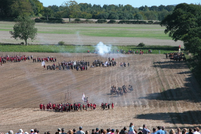
Battle of Cheriton
The Battle of Cheriton of 29 March 1644 was an important Parliamentarian victory during the First English Civil War. Sir William Waller's "Army of the...

Tichborne
Tichborne is a village and civil parish 4 miles (6.4 km) east of Winchester in Hampshire, England. == History == In archaeology in the south of the parish...

Cheriton, Hampshire
Cheriton is a village and civil parish near Alresford in Hampshire, England. The settlement is close to the site of the 1644 Battle of Cheriton, fought...
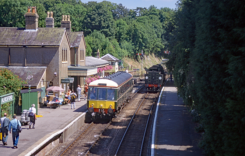
Alresford railway station (Hampshire)
Alresford railway station ( or ) in Hampshire, England, is the terminus of the Watercress Line from Alton. It is in the small town of New Alresford, 7½...

Alresford Town F.C.
Alresford Town Football Club is a football club based in New Alresford, Hampshire, England. Affiliated to the Hampshire FA, they are currently members...
Perins School
Perins School (formerly named Perins Community School) is an academy, Sports College and secondary school in New Alresford, Hampshire, England. == Performance... ==
Deanery of Alresford
The Deanery of Alresford lies within the Diocese of Winchester in England. It includes the parishes of Cliddesden, Dummer, Itchen Abbas, Martyr Worthy...

Alresford Community Centre
Alresford Community Centre, formerly Alresford Town Hall, is a municipal building in West Street, New Alresford, Hampshire, England. The structure, which...
Nearby Amenities
Located within 500m of 51.069091,-1.160908Have you been to Hookham Copse?
Leave your review of Hookham Copse below (or comments, questions and feedback).