Hassock's Copse

Wood, Forest in Hampshire Winchester

England

Hassock's Copse

The Ship Inn
The Ship Inn Credit: James Emmans

Hassock's Copse is a picturesque woodland located in Hampshire, England. Situated in the heart of the South Downs National Park, this ancient forest covers an area of approximately 100 acres and is renowned for its natural beauty and diverse ecosystem.

The copse is predominantly composed of oak and beech trees, which provide a dense canopy that filters sunlight, creating a cool and serene atmosphere within the woodland. The forest floor is covered with a rich carpet of moss, ferns, and wildflowers, adding to the enchanting ambiance of the area.

Hassock's Copse is home to a wide range of wildlife, making it a popular destination for nature enthusiasts and wildlife photographers. Visitors may spot various bird species, including woodpeckers, owls, and jays, as well as small mammals such as deer, rabbits, and squirrels. The copse is also known for its vibrant butterfly population, with species such as the purple emperor and silver-washed fritillary fluttering among the trees during the summer months.

The forest offers several walking trails and nature paths, allowing visitors to explore its natural wonders at their own pace. Along these paths, visitors may come across babbling brooks, hidden ponds, and secluded picnic spots, providing opportunities for relaxation and contemplation amidst the beauty of nature.

Overall, Hassock's Copse is a tranquil and captivating woodland, providing a peaceful escape from the hustle and bustle of everyday life. It offers a unique opportunity to immerse oneself in the natural wonders of Hampshire's countryside and experience the serenity of a truly ancient forest.

If you have any feedback on the listing, please let us know in the comments section below.

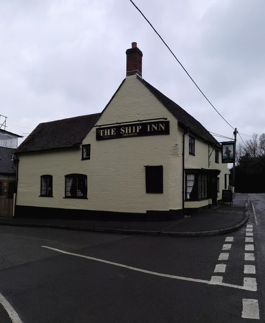
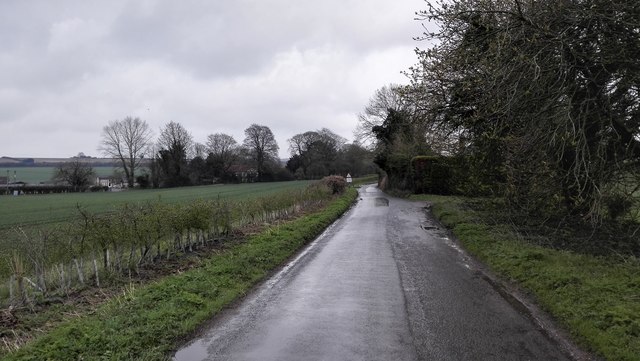
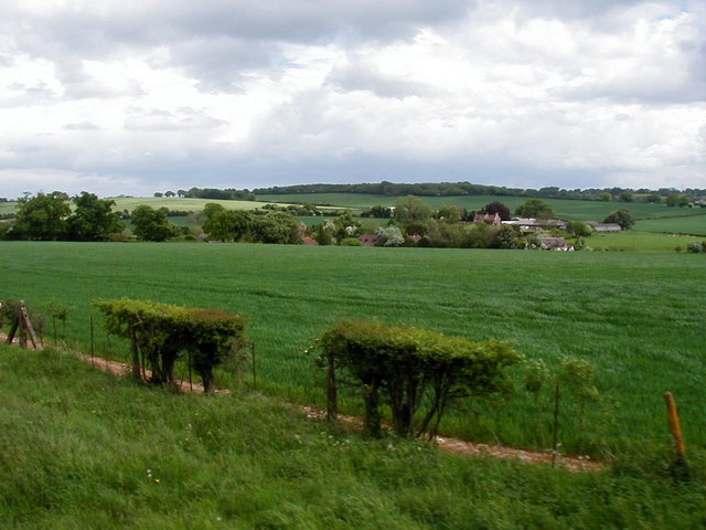
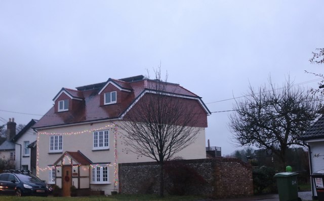
Hassock's Copse Images

Images are sourced within 2km of 51.074836/-1.1608184 or Grid Reference SU5830. Thanks to Geograph Open Source API. All images are credited.

The Ship Inn
The Ship Inn
Rural Road outside Bishop's Sutton
Church Lane, Bishop's Sutton Looking south toward the Ship Inn (on the corner by the B3047).  The brightness of the southern sky made for tricky light conditions.
Church Lane, Bishop's Sutton
Looking south toward the Ship Inn (on the corner by the B3047). The brightness of the southern sky made for tricky light conditions.
St Nicholas' Church, Bishop's Sutton: west end The squat little bell-turret is hung with shingles - more often met with in Surrey (and in Essex).  The truncated west gable results in a 'half-hipped' appearance, reminiscent of a barn roof.
St Nicholas' Church, Bishop's Sutton: west end
The squat little bell-turret is hung with shingles - more often met with in Surrey (and in Essex). The truncated west gable results in a 'half-hipped' appearance, reminiscent of a barn roof.
A view towards Sutton Manor Viewed from a Watercress Line train.
A view towards Sutton Manor
Viewed from a Watercress Line train.
House in Bishop's Sutton The roof conversion and porch were added since the last view online in 2011
House in Bishop's Sutton
The roof conversion and porch were added since the last view online in 2011
Bishop's Sutton Road
Farmland, Bishops Sutton Winter barley and a small fragment of a rainbow seen as shower clouds approached from the east.
Farmland, Bishops Sutton
Winter barley and a small fragment of a rainbow seen as shower clouds approached from the east.
Barns, Sevington Farm On Riverside Farm Lane.
Barns, Sevington Farm
On Riverside Farm Lane.
Stream below Cheriton Mill
Track east from Badshear Lane It appears to be a farm track with no public status.
Track east from Badshear Lane
It appears to be a farm track with no public status.
Cheriton Lane
Cheriton Lane
Western edge of Bulbeck Copse Showing a thin band of deciduous trees trying to disguise the mainly coniferous nature of this copse.
Western edge of Bulbeck Copse
Showing a thin band of deciduous trees trying to disguise the mainly coniferous nature of this copse.
Tichborne House A rear view across the River Itchen.
Tichborne House
A rear view across the River Itchen.
Timber stack and harvested field The track along the field edge is a public footpath.
Timber stack and harvested field
The track along the field edge is a public footpath.
B3046 Cheriton Lane Towards New Alresford.
B3046 Cheriton Lane
Towards New Alresford.
Meryon Road, New Alresford
Train waiting departure at Alresford BR Class 9F 2-10-0 No. 92212 awaits departure time at Alresford on the Mid Hants Railway.  This day trains were only running as far as Medstead & Four Marks as a bridge was being built between there and the usual terminus of Alton.  251 of these heavy freight locomotives were built by BR between 1954 and 1960 and were the last class of steam locomotives to be built by BR.  Although intended for heavy freight trains, they could show a good turn of speed when used on passenger trains. 9 of these locomotives have been preserved, including the last steam locomotive built by BR, No. 92220 'Evening Star'.
Train waiting departure at Alresford
BR Class 9F 2-10-0 No. 92212 awaits departure time at Alresford on the Mid Hants Railway. This day trains were only running as far as Medstead & Four Marks as a bridge was being built between there and the usual terminus of Alton. 251 of these heavy freight locomotives were built by BR between 1954 and 1960 and were the last class of steam locomotives to be built by BR. Although intended for heavy freight trains, they could show a good turn of speed when used on passenger trains. 9 of these locomotives have been preserved, including the last steam locomotive built by BR, No. 92220 'Evening Star'.
Show me another place!

Hassock's Copse is located at Grid Ref: SU5830 (Lat: 51.074836, Lng: -1.1608184)

Administrative County: Hampshire

District: Winchester

Police Authority: Hampshire

What 3 Words

///livid.daylight.films. Near New Alresford, Hampshire

Related Wikis

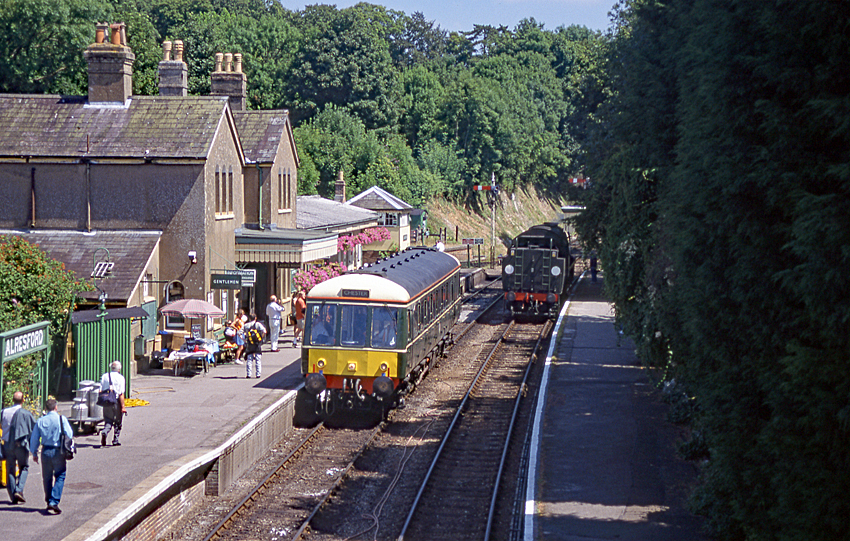
Alresford railway station (Hampshire)

Alresford railway station ( or ) in Hampshire, England, is the terminus of the Watercress Line from Alton. It is in the small town of New Alresford, 7½...

Perins School

Perins School (formerly named Perins Community School) is an academy, Sports College and secondary school in New Alresford, Hampshire, England. == Performance... ==

Alresford Town F.C.

Alresford Town Football Club is a football club based in New Alresford, Hampshire, England. Affiliated to the Hampshire FA, they are currently members...

Deanery of Alresford

The Deanery of Alresford lies within the Diocese of Winchester in England. It includes the parishes of Cliddesden, Dummer, Itchen Abbas, Martyr Worthy...

Alresford Community Centre

Alresford Community Centre, formerly Alresford Town Hall, is a municipal building in West Street, New Alresford, Hampshire, England. The structure, which...
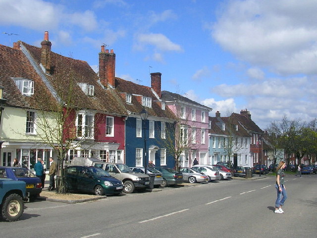
New Alresford

New Alresford or simply Alresford ( OLZ-fərd or AWLZ-fərd) is a market town and civil parish in the City of Winchester district of Hampshire, England...

Itchin Stoke Down

Itchin Stoke Down is a rural location near the town of Alresford in Hampshire. It was used as a venue for 13 first-class cricket matches between 1778 and...

Tichborne

Tichborne is a village and civil parish 4 miles (6.4 km) east of Winchester in Hampshire, England. == History == In archaeology in the south of the parish...

Nearby Amenities

Located within 500m of 51.074836,-1.1608184
Man Made: wastewater_plant
Lat/Long: 51.0721977/-1.1582581
Power: pole
Lat/Long: 51.072074/-1.1560957
Power: pole
Lat/Long: 51.0732569/-1.1556582
Power: pole
Lat/Long: 51.0744532/-1.1552237
Power: pole
Lat/Long: 51.0756322/-1.1547831
Golf: pin
Lat/Long: 51.076408/-1.1671125
Golf: pin
Lat/Long: 51.0763792/-1.1641483
Golf: pin
Lat/Long: 51.0774766/-1.1598306
Golf: pin
Lat/Long: 51.0736395/-1.1578936
Golf: pin
Lat/Long: 51.0745591/-1.1578123
Golf: pin
Lat/Long: 51.0771287/-1.156693
Golf: pin
Lat/Long: 51.0761471/-1.1579226
Golf: pin
Lat/Long: 51.0748351/-1.1644469
Golf: pin
Lat/Long: 51.0744844/-1.1645551
Golf: pin
Lat/Long: 51.0782334/-1.1641256
Golf: pin
Lat/Long: 51.0786648/-1.1592225
Golf: pin
Lat/Long: 51.079049/-1.1603062
Golf: pin
Lat/Long: 51.0765673/-1.1585111
Golf: pin
Lat/Long: 51.0785493/-1.1579455
Golf: pin
Lat/Long: 51.0776346/-1.1607803
The data included in this document is from www.openstreetmap.org. The data is made available under ODbL.

Have you been to Hassock's Copse?

Leave your review of Hassock's Copse below (or comments, questions and feedback).