Papist Bushes
Wood, Forest in Berkshire
England
Papist Bushes
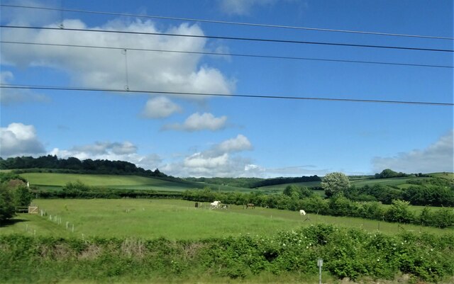
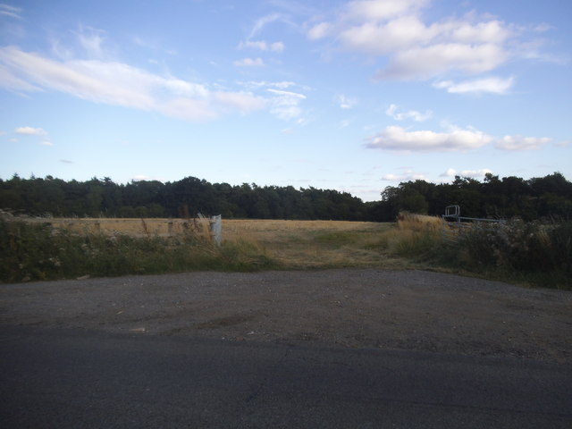
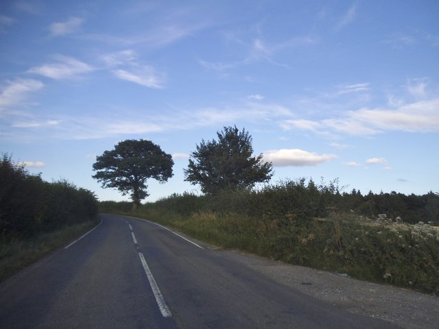
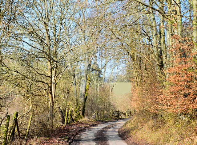
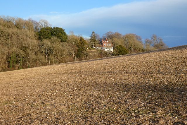
Papist Bushes is a woodland area located in Berkshire, England. Situated in the southern part of the county, it is known for its natural beauty and diverse ecosystem. The wood is part of the larger Papist Wood, which covers an area of approximately 100 acres.
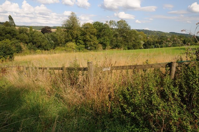
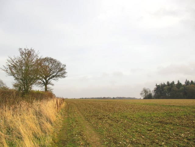
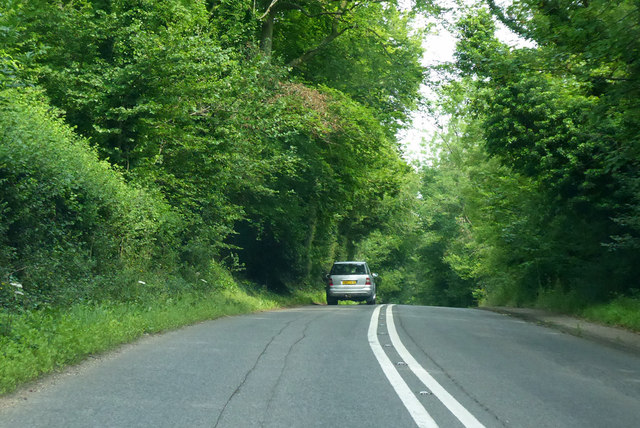
The forest is characterized by a mix of deciduous and coniferous trees, including oak, beech, birch, and pine. These trees create a dense canopy, providing shade and shelter for a variety of wildlife. The undergrowth is rich in plant diversity, with ferns, bluebells, and wild garlic being some of the common species found in the area.
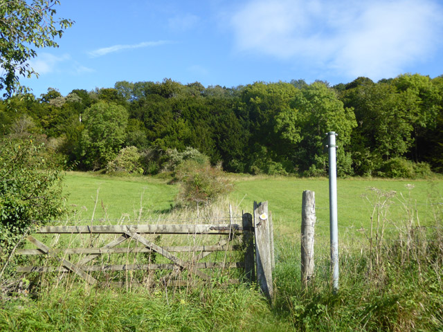
Papist Bushes is a popular destination for nature enthusiasts, hikers, and birdwatchers. The wood offers several well-marked trails that wind through the forest, allowing visitors to explore its picturesque landscapes. The tranquil atmosphere and peaceful surroundings make it an ideal location for those seeking a break from the hustle and bustle of urban life.
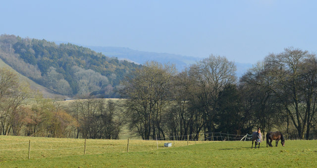
The woodland is also home to a wide range of animal species. Deer, foxes, badgers, and rabbits are often spotted among the trees, while numerous bird species, including woodpeckers, owls, and thrushes, make their nests in the area.
Papist Bushes is managed by the local authorities to preserve its natural beauty and protect its flora and fauna. Various conservation efforts are in place to maintain the wood's ecological balance and ensure its sustainability for future generations to enjoy.
If you have any feedback on the listing, please let us know in the comments section below.
Papist Bushes Images
Images are sourced within 2km of 51.51539/-1.1521161 or Grid Reference SU5879. Thanks to Geograph Open Source API. All images are credited.

Papist Bushes is located at Grid Ref: SU5879 (Lat: 51.51539, Lng: -1.1521161)
Unitary Authority: West Berkshire
Police Authority: Thames Valley
What 3 Words
///purchaser.decisions.grounding. Near Goring, Oxfordshire
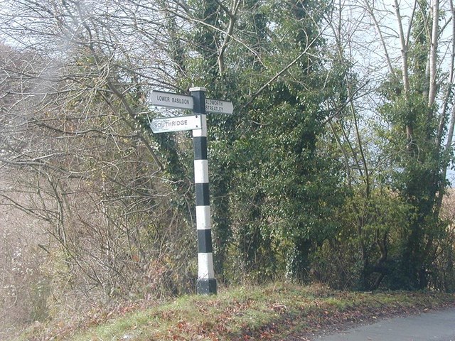
Nearby Locations
Related Wikis

Holies Down
Holies Down is a 5.6-hectare (14-acre) biological Site of Special Scientific Interest south of Streatley in Berkshire. It is in the North Wessex Downs...

Genetic Studios
Genetic Studios (also known as Genetic Sound) was a recording studio in Streatley, England. == History == Genetic was established in 1980 by Martin Rushent...
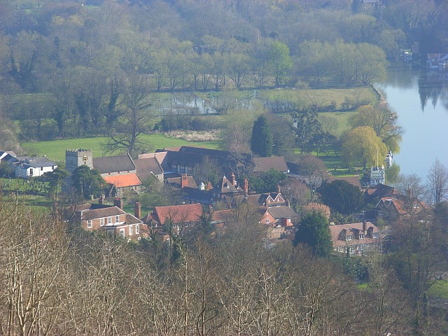
Streatley, Berkshire
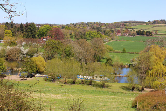
Streatley is a village and civil parish on the River Thames in Berkshire, England. The village faces Goring-on-Thames. The two places share in their shops...
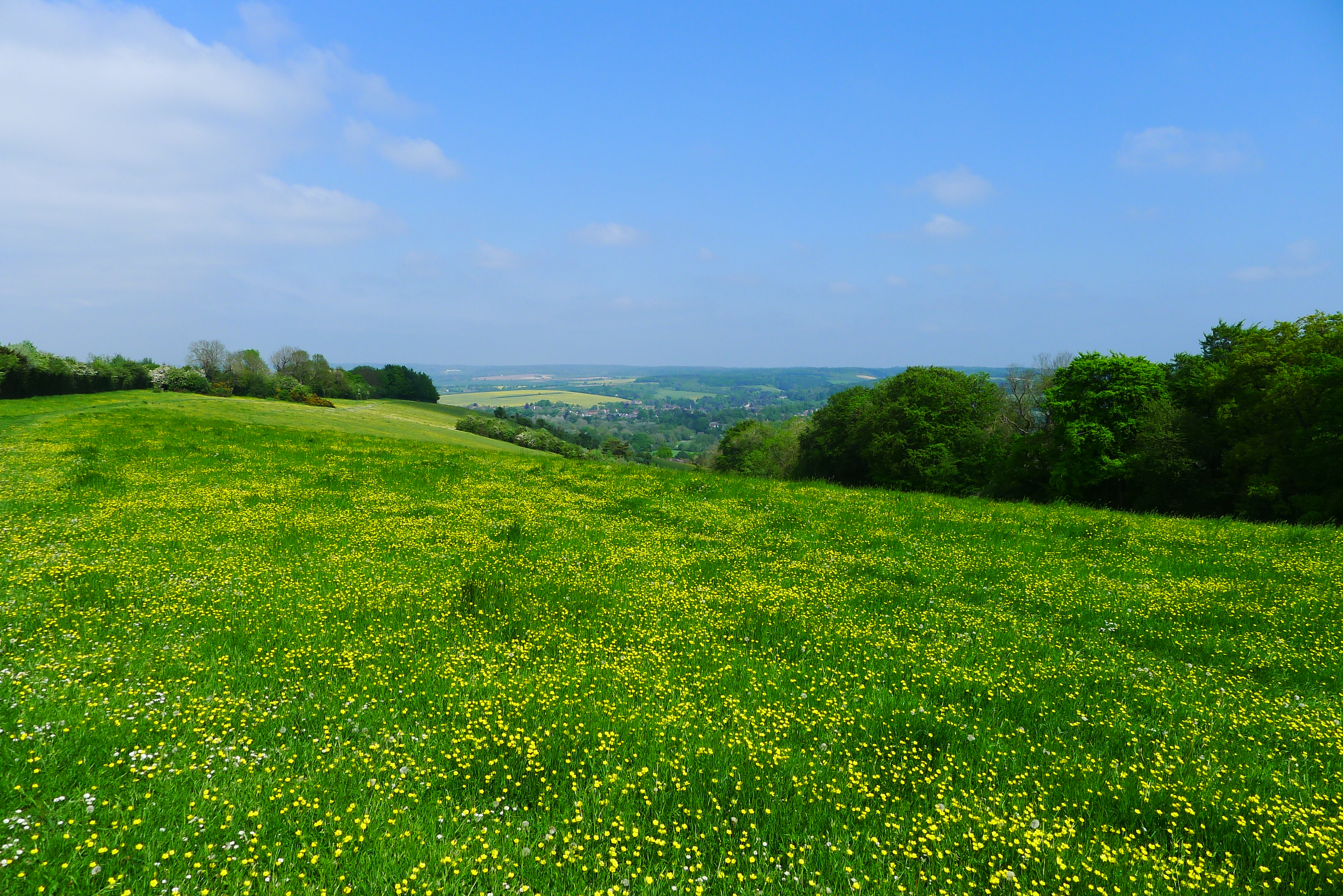
Lardon Chase
Lardon Chase is a 14.9-hectare (37-acre) biological Site of Special Scientific Interest in Streatley in Berkshire. It is in the North Wessex Downs, which...

Lardon Chase, the Holies and Lough Down
Lardon Chase, the Holies and Lough Down is a National Trust countryside property in the English county of Berkshire. It is situated on the edge of the...

Goring and Streatley Bridge
Goring and Streatley Bridge is a road bridge across the River Thames in England. The bridge links the twin villages of Goring-on-Thames, Oxfordshire, and...

Goring Lock
Goring Lock is a lock and weir situated on the River Thames in England at the Goring Gap in the Chiltern Hills. The lock is located on the Oxfordshire...
Goring Gap
The Goring Gap is the narrow valley, occupied by the River Thames, between the Chiltern Hills and the Berkshire Downs. It is approximately 10 miles (16...
Nearby Amenities
Located within 500m of 51.51539,-1.1521161Have you been to Papist Bushes?
Leave your review of Papist Bushes below (or comments, questions and feedback).