Stitchens Green
Settlement in Berkshire
England
Stitchens Green
Stitchens Green is a small village located in the county of Berkshire, England. Situated approximately 8 miles west of Reading, it is part of the larger civil parish of Mortimer.
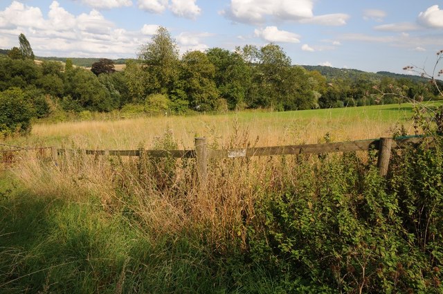
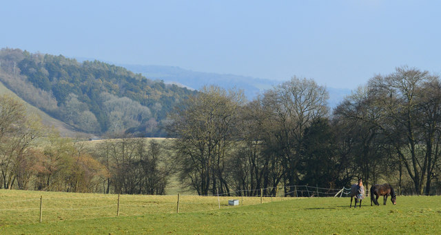
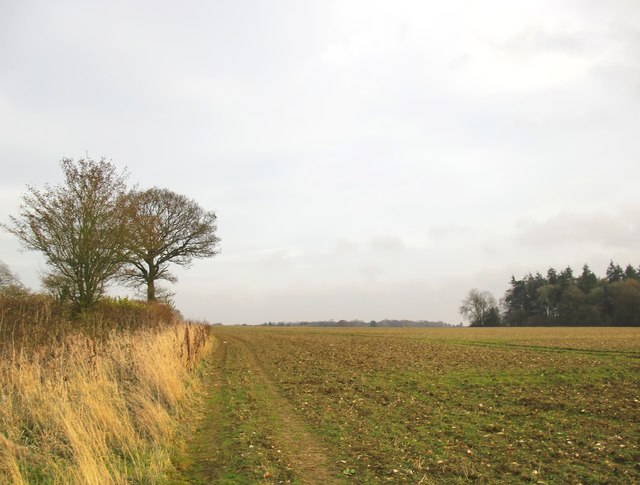
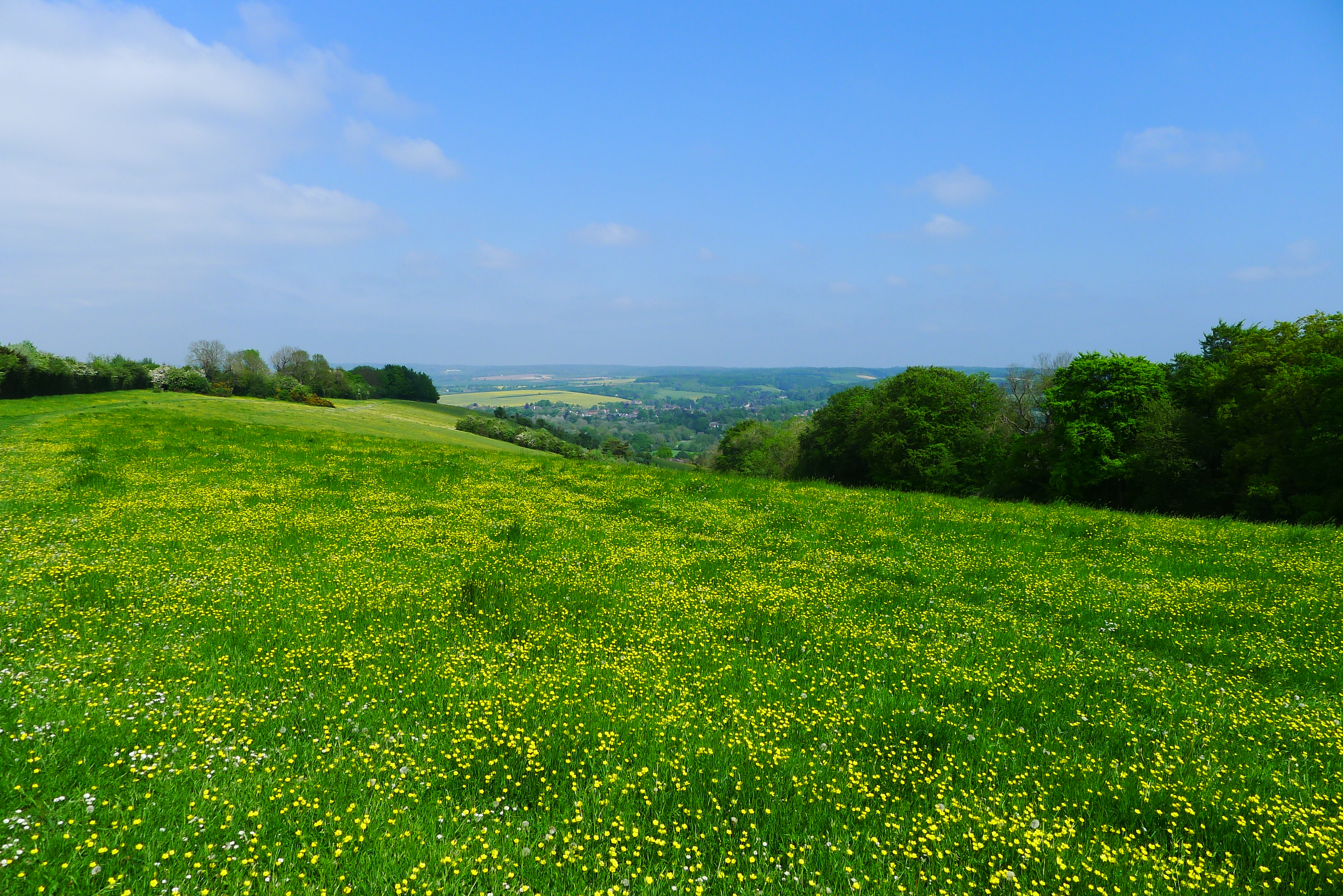
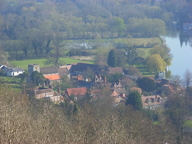
The village is characterized by its picturesque rural setting, surrounded by rolling hills and lush green fields. It has a population of around 500, giving it a close-knit and friendly community atmosphere. Stitchens Green is predominantly residential, with a mix of traditional cottages and more modern houses.
The village is well-served by amenities, including a local primary school, a village hall, and a small shop that caters to the daily needs of its residents. For a wider range of services, residents can easily access the nearby town of Mortimer, where they will find a variety of shops, restaurants, and a train station with connections to Reading and other major cities.
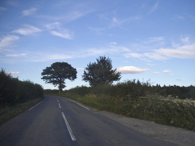
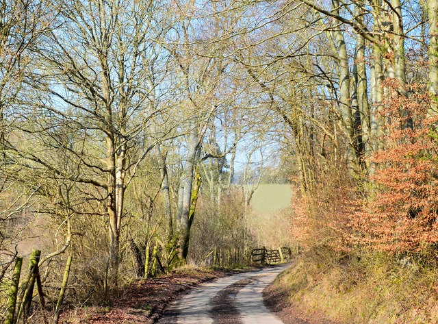
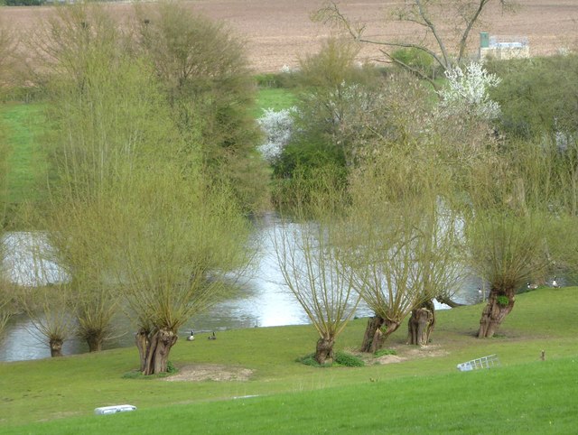
Stitchens Green benefits from its proximity to the beautiful Berkshire countryside, offering residents plenty of opportunities for outdoor activities such as hiking, cycling, and horse riding. The village is also within easy reach of several notable attractions, including the ruins of Silchester Roman Town and Wellington Country Park, a large family-friendly park with a wide range of recreational facilities.
Overall, Stitchens Green provides a peaceful and idyllic place to live, offering a rural lifestyle while still being within easy reach of larger towns and cities for additional amenities and transport links.
If you have any feedback on the listing, please let us know in the comments section below.
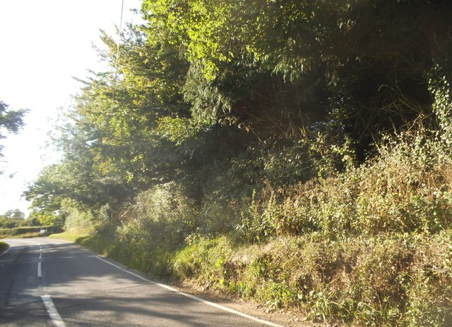
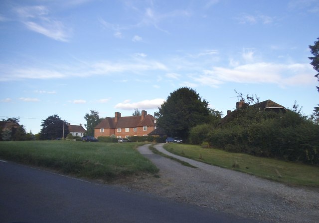
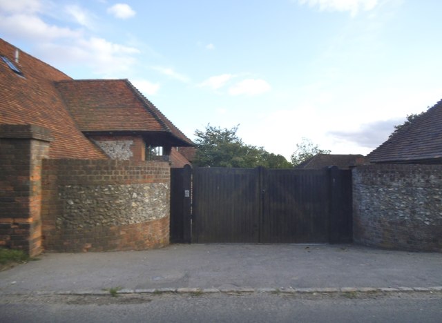
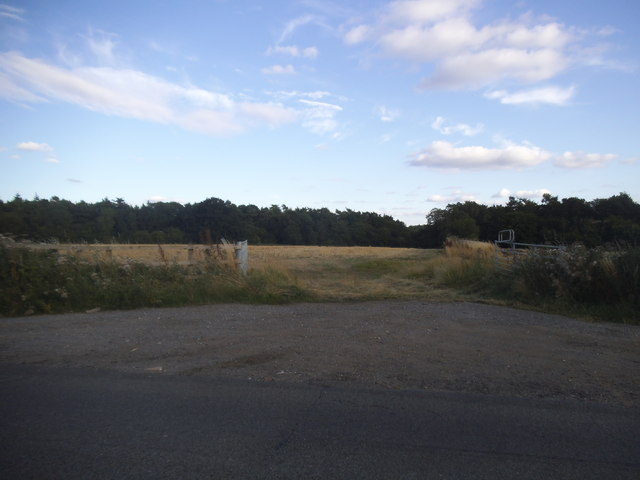
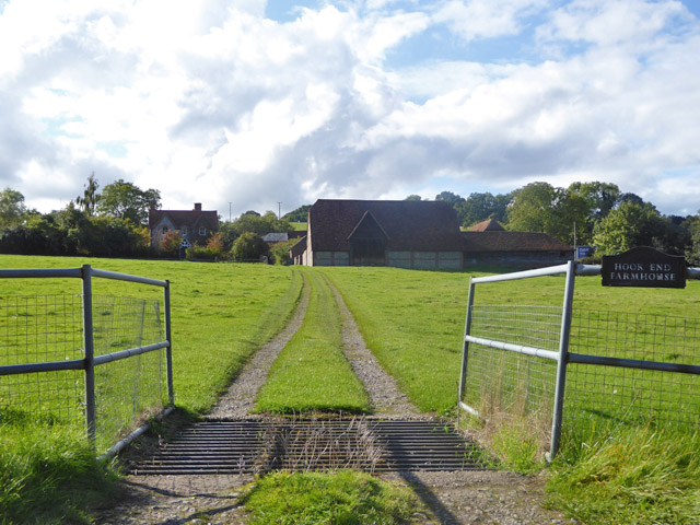
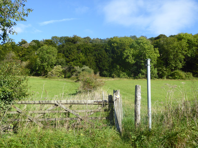
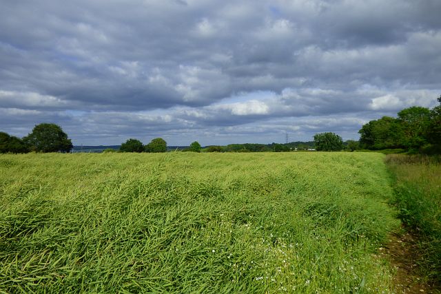
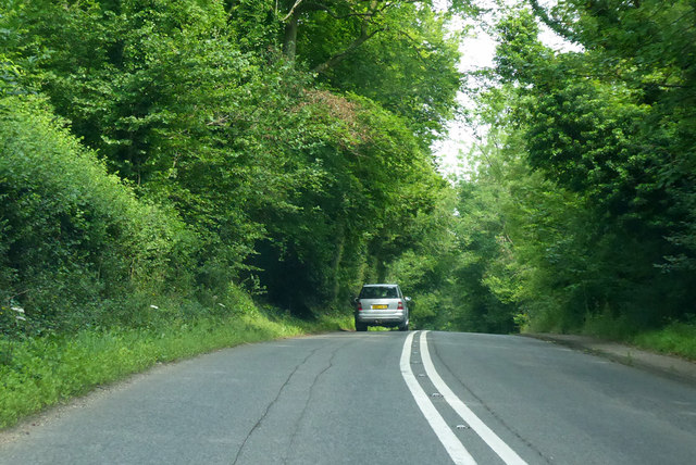
Stitchens Green Images
Images are sourced within 2km of 51.51137/-1.1594534 or Grid Reference SU5879. Thanks to Geograph Open Source API. All images are credited.


Stitchens Green is located at Grid Ref: SU5879 (Lat: 51.51137, Lng: -1.1594534)
Unitary Authority: West Berkshire
Police Authority: Thames Valley
What 3 Words
///cones.freshest.testers. Near Goring, Oxfordshire
Nearby Locations
Related Wikis

Holies Down
Holies Down is a 5.6-hectare (14-acre) biological Site of Special Scientific Interest south of Streatley in Berkshire. It is in the North Wessex Downs...

Lardon Chase, the Holies and Lough Down
Lardon Chase, the Holies and Lough Down is a National Trust countryside property in the English county of Berkshire. It is situated on the edge of the...

Genetic Studios
Genetic Studios (also known as Genetic Sound) was a recording studio in Streatley, England. == History == Genetic was established in 1980 by Martin Rushent...

Goring & Streatley Golf Club
Goring & Streatley Golf Club is a golf course in the village of Streatley, in the English county of Berkshire. It takes its name partly from that village...
Lardon Chase
Lardon Chase is a 14.9-hectare (37-acre) biological Site of Special Scientific Interest in Streatley in Berkshire. It is in the North Wessex Downs, which...
Streatley, Berkshire
Streatley is a village and civil parish on the River Thames in Berkshire, England. The village faces Goring-on-Thames. The two places share in their shops...

Goring and Streatley Bridge
Goring and Streatley Bridge is a road bridge across the River Thames in England. The bridge links the twin villages of Goring-on-Thames, Oxfordshire, and...

Goring Lock
Goring Lock is a lock and weir situated on the River Thames in England at the Goring Gap in the Chiltern Hills. The lock is located on the Oxfordshire...
Related Videos

Walking the Ridgeway - Part 4 - Letcombe Regis to Goring
Breaking our 20 min Ridgeway video into bitesize chunks. This video covers day 5 of our holiday walking from Letcombe Regis ...

Hiking in Goring
Created with the #GoPro App on my iPhone. Starting in Goring with a pretty vista over the Thames, following the Ridgeway path ...
![[4K] Village Walking Tour Goring to Streatley England](https://i.ytimg.com/vi/uEPak8aaNu0/hqdefault.jpg)
[4K] Village Walking Tour Goring to Streatley England
Welcome to this virtual walking tour in 4K. Today I'm taking you on a virtual walk of Goring in Oxfordshire and Steatley in Berkshire ...

Walking the Ridgeway Day 3. Goring to Watlington.
A damp and challenging day that started off along the River Thames before passing through the beautiful village of South Stoke ...
Nearby Amenities
Located within 500m of 51.51137,-1.1594534Have you been to Stitchens Green?
Leave your review of Stitchens Green below (or comments, questions and feedback).