Wickham Common

Wood, Forest in Hampshire Winchester

England

Wickham Common

Looking Up Bridge Street Uphill to the town centre from down by the bridge.
Looking Up Bridge Street Credit: Des Blenkinsopp

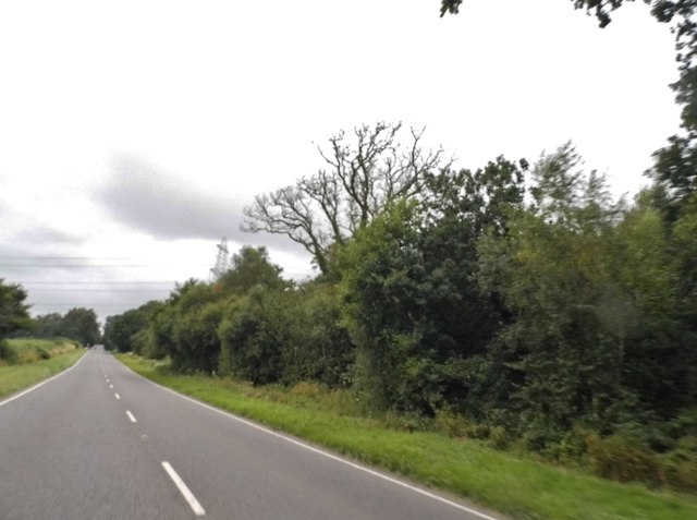
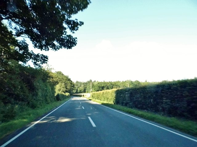
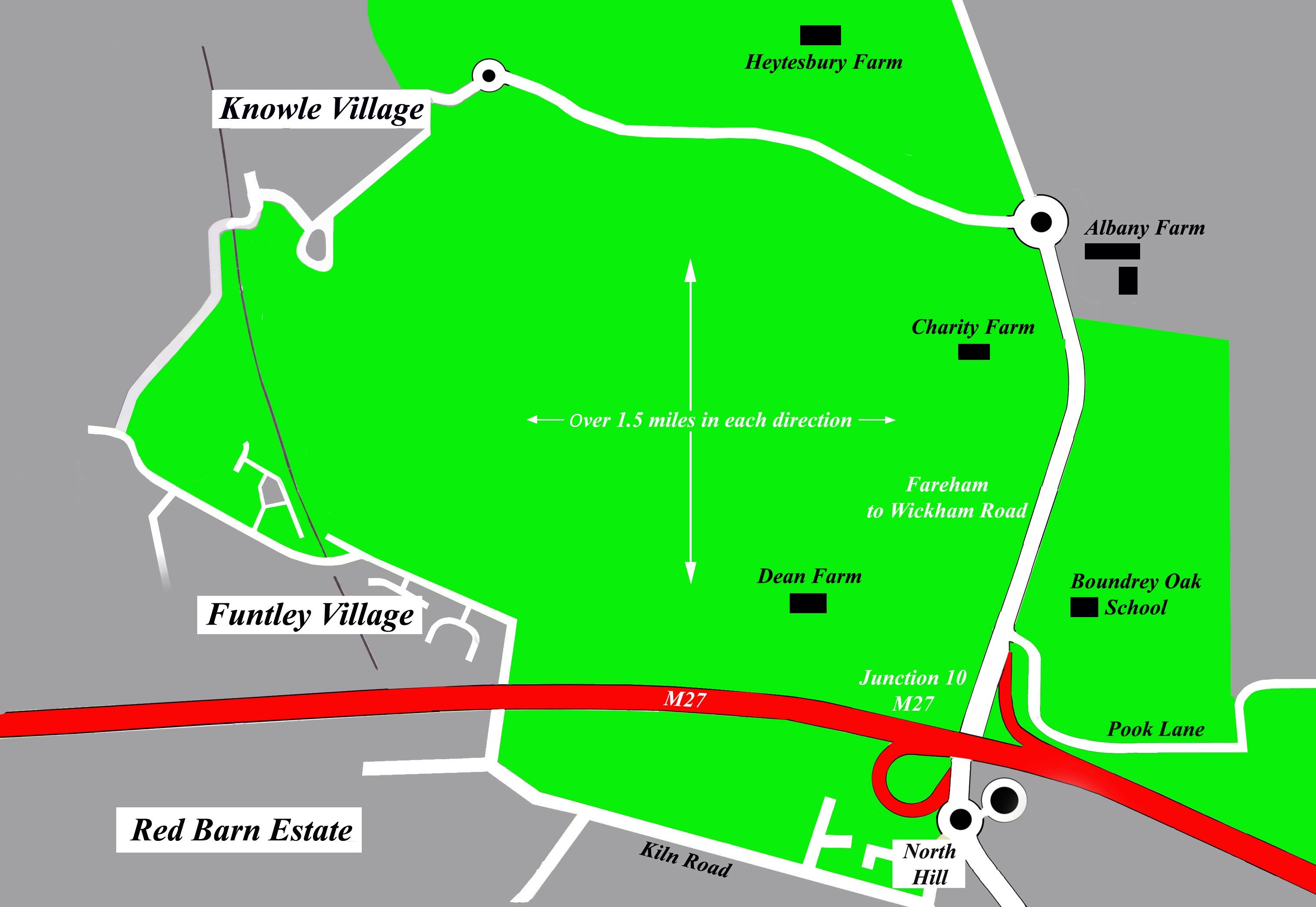
Wickham Common is a picturesque woodland area located in the county of Hampshire, England. Covering an expansive area of approximately 500 acres, this ancient woodland is a haven for nature enthusiasts and outdoor enthusiasts alike.

The common is predominantly composed of a diverse range of tree species, including oak, beech, birch, and holly. These majestic trees create a lush and vibrant canopy, providing a serene and tranquil atmosphere for visitors. The forest floor is adorned with an array of wildflowers, ferns, and mosses, adding to the enchanting beauty of the woodland.

Wickham Common is not only a haven for flora but also for fauna. The woodland is home to an abundance of wildlife, including various bird species, such as woodpeckers, owls, and songbirds. Visitors may also be fortunate enough to spot mammals like deer, foxes, and badgers, as well as smaller creatures like rabbits and squirrels.

The common offers a network of well-maintained footpaths and trails, allowing visitors to explore the woodland and discover its hidden treasures. With its peaceful ambiance and rich biodiversity, Wickham Common is an ideal destination for walking, jogging, and cycling. The woodland also attracts photographers and artists who are captivated by its natural beauty.

Managed by the Hampshire County Council, Wickham Common is a cherished natural resource and an important habitat for local wildlife. Its conservation status ensures the long-term preservation of this precious woodland, ensuring future generations can continue to enjoy its beauty and tranquility.

If you have any feedback on the listing, please let us know in the comments section below.

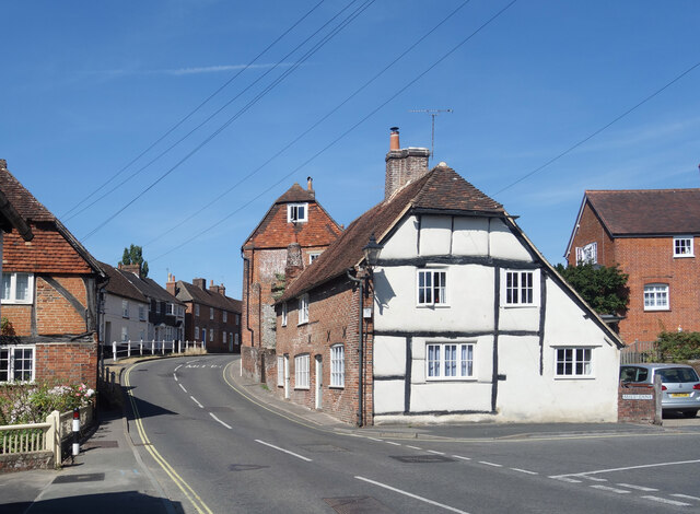
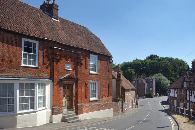
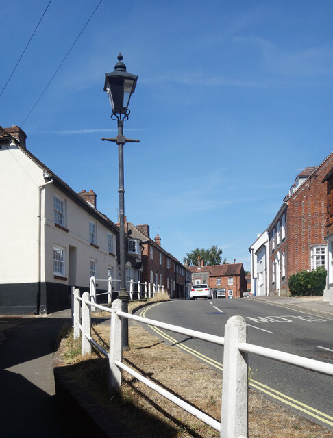
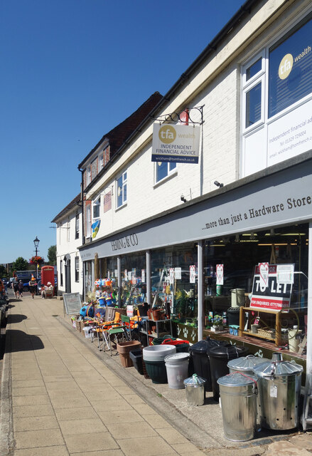
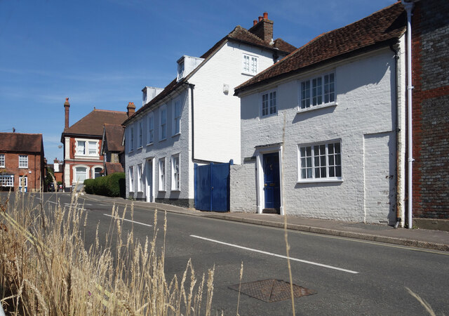
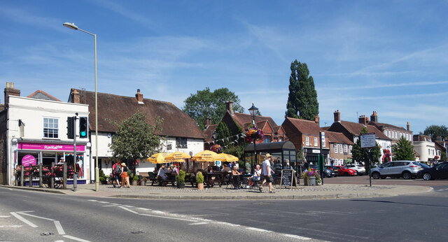
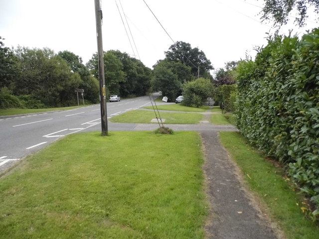
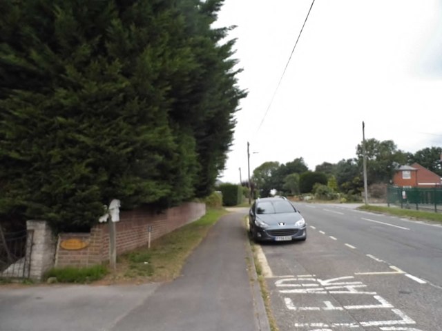
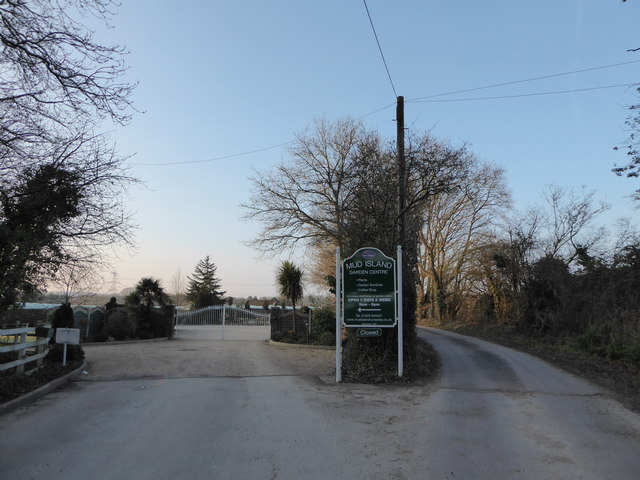
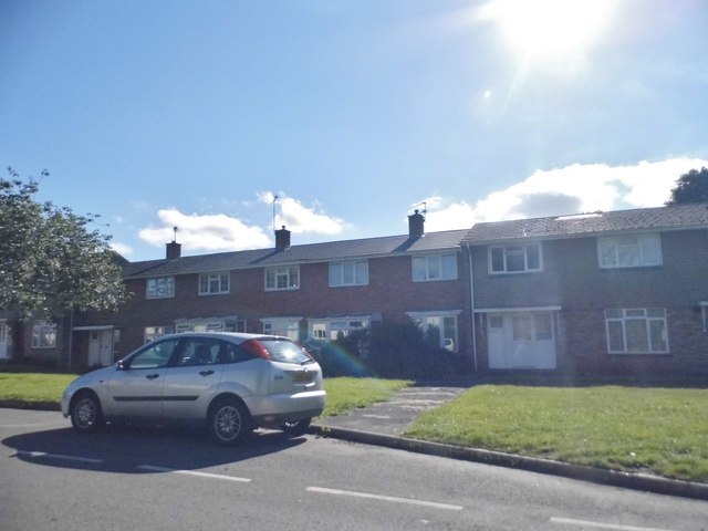
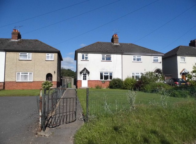
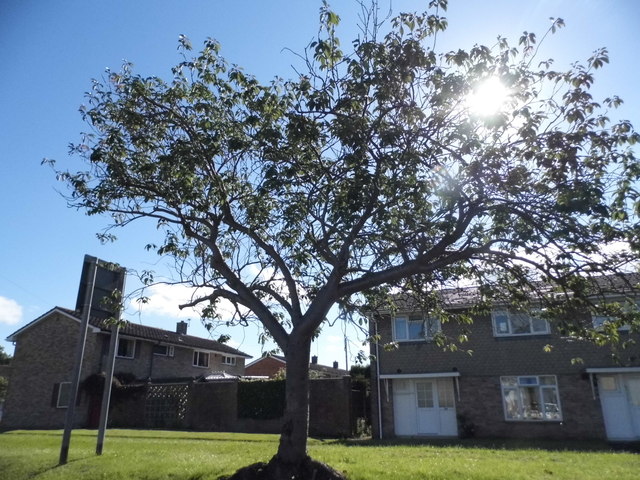
Wickham Common Images

Images are sourced within 2km of 50.892181/-1.1644595 or Grid Reference SU5810. Thanks to Geograph Open Source API. All images are credited.

Looking Up Bridge Street Uphill to the town centre from down by the bridge.
Looking Up Bridge Street
Uphill to the town centre from down by the bridge.
Looking Down Bridge Street Towards the bridge over the River Meon.
Looking Down Bridge Street
Towards the bridge over the River Meon.
Lamp Post on Bridge Street An old style street lamp in an old style street. The glass on the left of the lamp is blacked out because it is at the same level as the upper window of a nearby house.
Lamp Post on Bridge Street
An old style street lamp in an old style street. The glass on the left of the lamp is blacked out because it is at the same level as the upper window of a nearby house.
Heming & Co's Hardware Store Bins and pots and colourful stuff on display outside a shop in Wickham town centre.
Heming & Co's Hardware Store
Bins and pots and colourful stuff on display outside a shop in Wickham town centre.
The top end of Bridge Street Bridge Street goes between the River Meon and the town centre.
The top end of Bridge Street
Bridge Street goes between the River Meon and the town centre.
Outside the pub, Wickham A sunny Saturday morning at the Square Cow pub.
Outside the pub, Wickham
A sunny Saturday morning at the Square Cow pub.
Southwick Road, North Boarhunt
The Dip Hole at Wickham Another view is at <a title="https://www.geograph.org.uk/photo/1472085" href="https://www.geograph.org.uk/photo/1472085">Link</a>.
The Dip Hole at Wickham
Another view is at Link.
Looking east on Bridge Street to the disused railway bridge There are two bridges here, the road bridge over the River Meon and the former railway bridge which now carries a bridleway.
See also <a title="https://www.geograph.org.uk/photo/1472034" href="https://www.geograph.org.uk/photo/1472034">Link</a>.
Looking east on Bridge Street to the disused railway bridge
There are two bridges here, the road bridge over the River Meon and the former railway bridge which now carries a bridleway. See also Link.
2016: a year on Geograph (Day 69) Junction of Station Road and Bridge Street
2016: a year on Geograph (Day 69)
Junction of Station Road and Bridge Street
2016: a year on Geograph (Day 82) Entrance to Mud Island Nursery
2016: a year on Geograph (Day 82)
Entrance to Mud Island Nursery
Houses on School Road, Wickham
Tree on School Road, Wickham
The A32, Wickham
The A32, Wickham
House on Bridge Street, Wickham
Show me another place!

Wickham Common is located at Grid Ref: SU5810 (Lat: 50.892181, Lng: -1.1644595)

Administrative County: Hampshire

District: Winchester

Police Authority: Hampshire

What 3 Words

///kicked.succeed.ghost. Near Wickham, Hampshire

Related Wikis

Boarhunt

Boarhunt () is a village and civil parish in the City of Winchester district of Hampshire, England, about 2 miles (3 kilometres) north-east of Fareham...

North Boarhunt

North Boarhunt is a village in the City of Winchester district of Hampshire, England. It is in the civil parish of Boarhunt. Its nearest town is Fareham...

Wickham railway station (Hampshire)

Wickham (Hants) railway station served the village of Wickham in Hampshire, England. It was on the Meon Valley line of the London and South Western Railway...
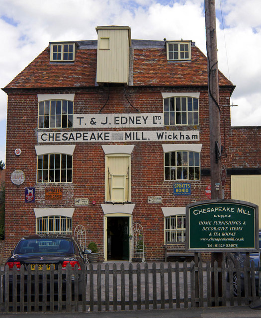
Chesapeake Mill

The Chesapeake Mill is a watermill in Wickham, Hampshire, England. The flour mill was constructed in 1820 using the timbers of HMS Chesapeake, which had...

Crockerhill, Hampshire

Crockerhill is a hamlet in south Hampshire, England. The population at the 2011 Census was included in the Borough of Fareham == References == The geographic...
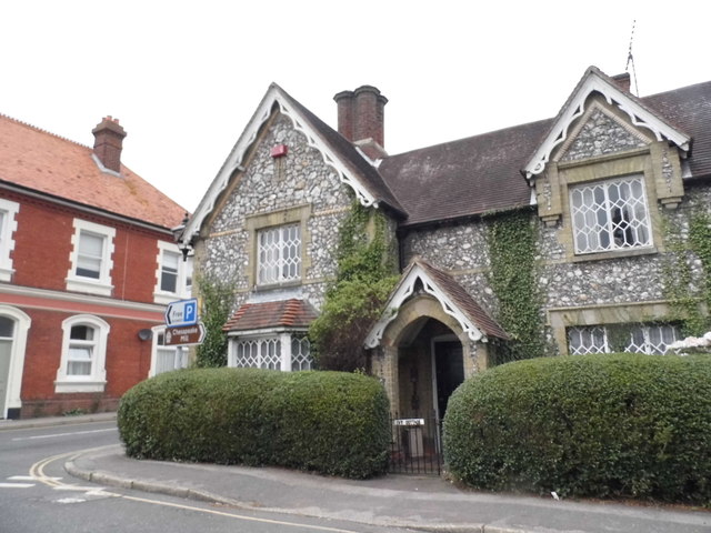
Wickham, Hampshire

Wickham () is a large village in the civil parish of Wickham and Knowle, in the Winchester district, in the county of Hampshire, England. It is about 3...

Welborne, Hampshire

Welborne is a proposed new town to the north of Fareham, England, intended to include 6,000 houses with businesses and community facilities. A plan for...

Knowle Hospital

Knowle Hospital, was a psychiatric hospital that was repurposed as the village of Knowle near the town of Fareham in Hampshire, southern England, which...

Nearby Amenities

Located within 500m of 50.892181,-1.1644595
Power: tower
Ref: 35
Source: interpolation
Lat/Long: 50.8920402/-1.1697316
Power: tower
Ref: 36
Source: interpolation
Lat/Long: 50.8908038/-1.1649348
Power: tower
Ref: 37
Source: interpolation
Lat/Long: 50.8894698/-1.1591408
Barrier: stile
Lat/Long: 50.8897491/-1.1668332
Bus Stop
Hundred Acres
Naptan AtcoCode: 1900HA110783
Naptan Bearing: SE
Naptan CommonName: Hundred Acres
Naptan Crossing: Hundred Acres Road
Naptan NaptanCode: hamdwada
Naptan PlusbusZoneRef: FAREHAM
Naptan Street: B2177 Southwick Road
Naptan Verified: no
Source: naptan_import
Lat/Long: 50.8947229/-1.1603469
Bus Stop
Hundred Acres
Naptan AtcoCode: 1900HA110784
Naptan Bearing: NW
Naptan CommonName: Hundred Acres
Naptan NaptanCode: hamdwadm
Naptan PlusbusZoneRef: FAREHAM
Naptan Street: B2177 Southwick Road
Naptan Verified: no
Source: naptan_import
Lat/Long: 50.894133/-1.1583526
Post Box
Collection Plate: CP7D
Collection Times: Mo-Fr 09:00; Sa 07:00
Post Box Type: lamp
Ref: PO17 35D
Royal Cypher: EIIR
Royal Cypher Wikidata: Q33102113
Lat/Long: 50.8949231/-1.1610036
Wickham Common
Place: locality
Wikidata: Q13132355
Lat/Long: 50.8926021/-1.1660074
Power: pole
Source: Bing
Lat/Long: 50.8898343/-1.1702657
Power: pole
Lat/Long: 50.8901019/-1.1697657
Power: pole
Lat/Long: 50.8927049/-1.1671473
Power: pole
Lat/Long: 50.8920599/-1.1677531
Power: pole
Lat/Long: 50.8913492/-1.1684072
Power: pole
Lat/Long: 50.8908411/-1.1688585
Power: pole
Lat/Long: 50.8906118/-1.1690695
Power: pole
Lat/Long: 50.8938687/-1.1660907
Power: pole
Lat/Long: 50.8944681/-1.1654959
Power: pole
Lat/Long: 50.8941349/-1.1639268
Power: pole
Lat/Long: 50.8947139/-1.1666518
Power: pole
Lat/Long: 50.8935608/-1.1611063
Power: pole
Lat/Long: 50.8931325/-1.1591934
Power: pole
Lat/Long: 50.8923619/-1.1615728
The data included in this document is from www.openstreetmap.org. The data is made available under ODbL.

Have you been to Wickham Common?

Leave your review of Wickham Common below (or comments, questions and feedback).