Westrill Spinney

Wood, Forest in Leicestershire Harborough

England

Westrill Spinney

Shakespeare's Avon way
Shakespeare's Avon way Credit: Philip Jeffrey

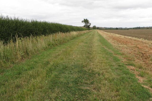
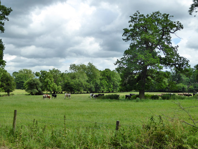
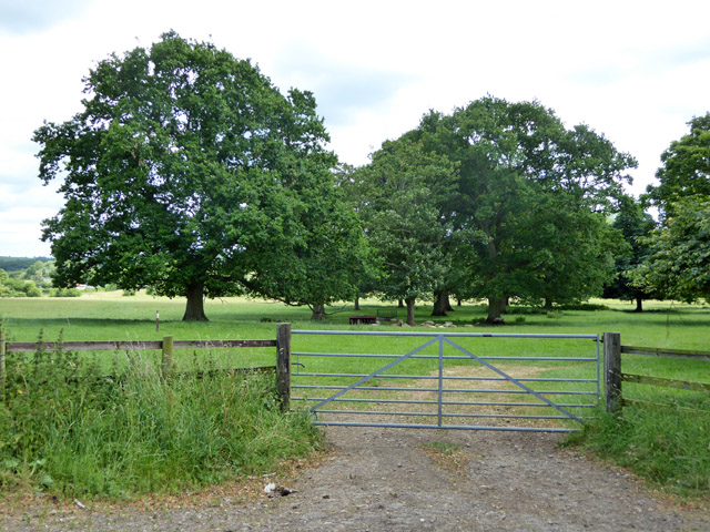
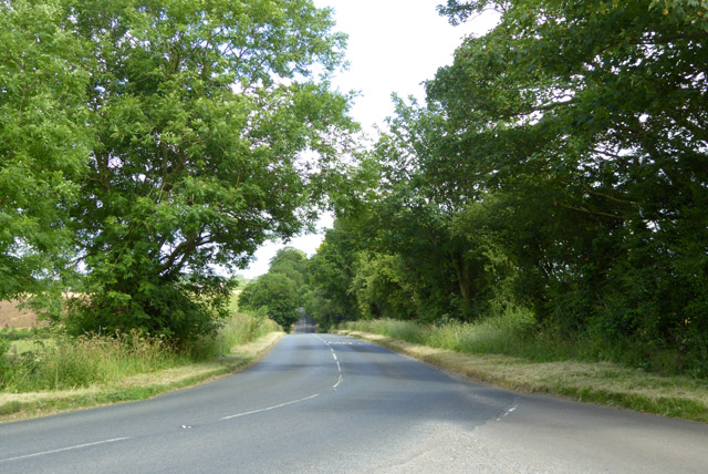
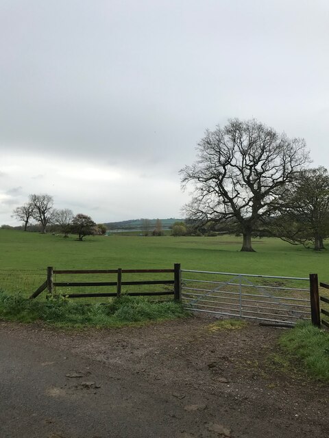
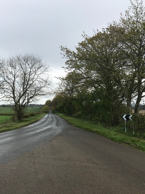
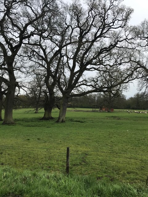
Westrill Spinney is a picturesque woodland located in Leicestershire, England. Covering an area of approximately 20 acres, it is a popular destination for nature lovers and outdoor enthusiasts. The spinney is situated in a rural area, surrounded by rolling hills and farmland, providing a tranquil and serene atmosphere.

The woodland is predominantly composed of native broadleaf trees, including oak, beech, and birch, which create a dense canopy overhead. This rich vegetation provides a habitat for a variety of wildlife, such as squirrels, birds, and insects, making it an ideal spot for birdwatching and wildlife observation.

Visitors to Westrill Spinney can enjoy a network of well-maintained walking trails that wind through the woodland. These trails offer visitors the opportunity to explore the diverse flora and fauna of the area while enjoying the beauty of nature. There are also designated picnic areas and benches scattered throughout the spinney, providing a perfect spot for a leisurely lunch or a moment of relaxation.

In addition to its natural beauty, Westrill Spinney has historical significance. It is believed to have been part of an ancient forest that once covered a vast area of Leicestershire. The woodland has remained relatively untouched over the years, preserving its natural charm and allowing visitors to step back in time and experience the landscape as it once was.

Overall, Westrill Spinney is a hidden gem in Leicestershire, offering individuals the chance to escape the hustle and bustle of everyday life and immerse themselves in nature's beauty.

If you have any feedback on the listing, please let us know in the comments section below.

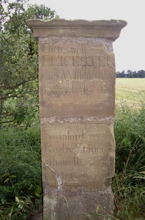
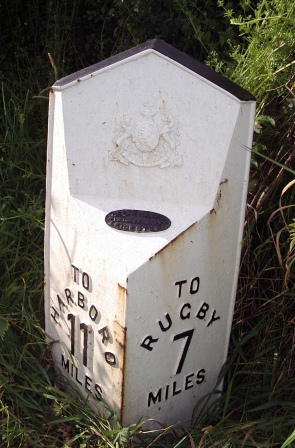
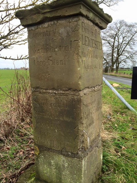
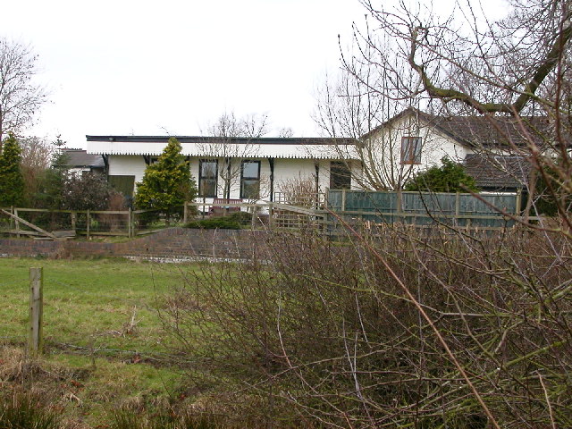
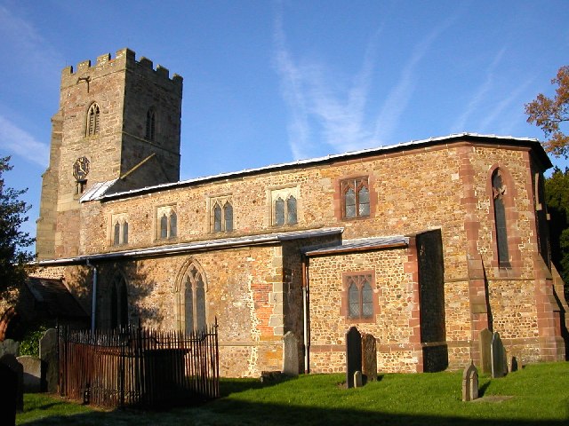
Westrill Spinney Images

Images are sourced within 2km of 52.417545/-1.135953 or Grid Reference SP5880. Thanks to Geograph Open Source API. All images are credited.

Shakespeare's Avon way
Farmland looking towards Stanford reservoir
Stanford-on-Avon On the road to Park Farm, the bridge over stream and bridle path just in north-west corner of this square (but looking from just inside SP5978).
Stanford-on-Avon
On the road to Park Farm, the bridge over stream and bridle path just in north-west corner of this square (but looking from just inside SP5978).
Stanford-On-Avon Dying tree on the Footpath that follows the Stream.
Stanford-On-Avon
Dying tree on the Footpath that follows the Stream.
Stanford-on-Avon Bridge carrying Footpath over the disused Rugby-Market Harborough Line.
Stanford-on-Avon
Bridge carrying Footpath over the disused Rugby-Market Harborough Line.
Hovel Hill near Stanford Reservoir
Reservoir Cottage and Stanford Reservoir
Bridleway by the Stanford Brook The Bridleway forms part of Shakespeares Avon Way long distance walking path
Bridleway by the Stanford Brook
The Bridleway forms part of Shakespeares Avon Way long distance walking path
Cattle, Stanford Park East of the road to South Kilworth.
Cattle, Stanford Park
East of the road to South Kilworth.
Cattle, Stanford Park West of the road to South Kilworth.
Cattle, Stanford Park
West of the road to South Kilworth.
Rugby Road Looking towards South Kilworth.
Rugby Road
Looking towards South Kilworth.
Old Milepost by Rugby Road, South Kilworth Parish Illston iron casting by the UC road, in parish of South Kilworth (Harborough District), Rugby Road, by the North side of road.

Inscription read:- : (Market Harborough 10) : : (Rugby 8) :

Lost since 1970

NB Incorrect photo. Photo shows: MSSid: LE_SFHN. <a href="https://www.geograph.org.uk/photo/6068552">SP5981 : Old Milestone by the B5414, Rugby Road, South Kilworth Parish</a>

Milestone Society National ID: LE_MHRY10
Old Milepost by Rugby Road, South Kilworth Parish
Illston iron casting by the UC road, in parish of South Kilworth (Harborough District), Rugby Road, by the North side of road. Inscription read:- : (Market Harborough 10) : : (Rugby 8) : Lost since 1970 NB Incorrect photo. Photo shows: MSSid: LE_SFHN. SP5981 : Old Milestone by the B5414, Rugby Road, South Kilworth Parish Milestone Society National ID: LE_MHRY10
Old Milepost by Rugby Road, Westrill and Starmore parish Cast iron post by the UC road, in parish of WESTRILL AND STARMORE (HARBOROUGH District), Rugby Road; North of Gravel Hill, on the verge, on North side of road. Illston iron casting, erected by the Market Harborough & Brampton turnpike trust in the 19th century. (Lost?)

Inscription reads:-
: TO / HARBORO / 11 / MILES : : {Royal Arms of Queen Victoria} : : TO / RUGBY / 7 / MILES :
Maker:-
: JOSEPH / ILLSTON / VICTORIA FOUNDRY / LEICESTER : 

Milestone Society National ID: LE_MHRY11.
Old Milepost by Rugby Road, Westrill and Starmore parish
Cast iron post by the UC road, in parish of WESTRILL AND STARMORE (HARBOROUGH District), Rugby Road; North of Gravel Hill, on the verge, on North side of road. Illston iron casting, erected by the Market Harborough & Brampton turnpike trust in the 19th century. (Lost?) Inscription reads:- : TO / HARBORO / 11 / MILES : : {Royal Arms of Queen Victoria} : : TO / RUGBY / 7 / MILES : Maker:- : JOSEPH / ILLSTON / VICTORIA FOUNDRY / LEICESTER : Milestone Society National ID: LE_MHRY11.
Old Milestone by the B5414, Rugby Road, South Kilworth Parish Carved stone post by the B5414, in parish of SOUTH KILWORTH (HARBOROUGH District), Rugby Road, at junction with Stanford Road, end of old drive to Stanford Hall, on verge by junction, on South East side of road. Stanford Hall Marker, erected by a private estate in the 19th century. 

Inscription reads:-
: Daventry 12 / Northampton 17¾ / thro Stanfd / Stanford Hall 1¼ / Stanford on Avon 1½ / Yelvercroft (S.E.) 4 / Crick 6 / West Haddon  6½ : : Bitteswell / LEICESTER / thro Willoughby / Waterless  16½ / Swinford  2 / Rugby Station 8 / Shawell 4 / Misterton 3½ / Lutterworth : : LEICESTER / thro N.Kilth 16½ / Northampton / thro S.Kilth  17¾ / S.Kilworth ¾ / N.Kilworth 2 / Market Harboro 10½ / Thronby 6½ / Brixworth 12½ : 

Grade II listed.
List Entry Number: 1061428 <span class="nowrap"><a title="https://historicengland.org.uk/listing/the-list/list-entry/1061428" rel="nofollow ugc noopener" href="https://historicengland.org.uk/listing/the-list/list-entry/1061428">Link</a><img style="margin-left:2px;" alt="External link" title="External link - shift click to open in new window" src="https://s1.geograph.org.uk/img/external.png" width="10" height="10"/></span>

Milestone Society National ID: LE_SFHN
Old Milestone by the B5414, Rugby Road, South Kilworth Parish
Carved stone post by the B5414, in parish of SOUTH KILWORTH (HARBOROUGH District), Rugby Road, at junction with Stanford Road, end of old drive to Stanford Hall, on verge by junction, on South East side of road. Stanford Hall Marker, erected by a private estate in the 19th century. Inscription reads:- : Daventry 12 / Northampton 17¾ / thro Stanfd / Stanford Hall 1¼ / Stanford on Avon 1½ / Yelvercroft (S.E.) 4 / Crick 6 / West Haddon 6½ : : Bitteswell / LEICESTER / thro Willoughby / Waterless 16½ / Swinford 2 / Rugby Station 8 / Shawell 4 / Misterton 3½ / Lutterworth : : LEICESTER / thro N.Kilth 16½ / Northampton / thro S.Kilth 17¾ / S.Kilworth ¾ / N.Kilworth 2 / Market Harboro 10½ / Thronby 6½ / Brixworth 12½ : Grade II listed. List Entry Number: 1061428 LinkExternal link Milestone Society National ID: LE_SFHN
Gated access to farmland
Road to South Kilworth
Sheep field - with remains of the OS listed building visible
Pilcher Monument Records the powered flight and untimely death of an early aviation pioneer in 1899 at Stanford Park
Pilcher Monument
Records the powered flight and untimely death of an early aviation pioneer in 1899 at Stanford Park
Show me another place!

Westrill Spinney is located at Grid Ref: SP5880 (Lat: 52.417545, Lng: -1.135953)

Administrative County: Leicestershire

District: Harborough

Police Authority: Leicestershire

What 3 Words

///downsize.smothered.crackles. Near Welford, Northamptonshire

Related Wikis

Westrill and Starmore

Westrill and Starmore is a civil parish in the Harborough district of Leicestershire, England. It has no settlement as such as it is one of the least populated...

Stanford Hall, Leicestershire

Stanford Hall is a stately home in Leicestershire, England, near the village of Stanford on Avon (which is in Northamptonshire) and the town of Lutterworth...

Stanford Park

Stanford Park is a 20.4 hectares (50 acres) biological Site of Special Scientific Interest east of Swinford in Leicestershire.The park has avenues of oak...

Stanford Reservoir

Stanford Reservoir is a drinking water reservoir on the River Avon, England. It lies on the county boundary between Leicestershire and Northamptonshire...

Stanford-on-Avon

Stanford-on-Avon is a village in the civil parish of Stanford in West Northamptonshire, England. It lies next to the River Avon, which here forms the county...

Yelvertoft and Stanford Park railway station

Yelvertoft and Stanford Park railway station was a railway station serving the villages of Stanford-on-Avon and Yelvertoft in the English county of Northamptonshire...

Swinford, Leicestershire

Swinford is a nucleated village and civil parish in the Harborough district of the English county of Leicestershire. The population of the civil parish...

South Kilworth

South Kilworth is a village and civil parish in the southern part of Leicestershire, England, south of North Kilworth. The parish has a population of 430...

Have you been to Westrill Spinney?

Leave your review of Westrill Spinney below (or comments, questions and feedback).