Fullimore's Copse
Wood, Forest in Hampshire Winchester
England
Fullimore's Copse
Fullimore's Copse is a picturesque woodland located in the county of Hampshire, England. Covering an area of approximately 50 acres, it is a beautiful example of a mature copse or small forest. The copse is situated near the village of Fullimore, which is known for its rural charm and tranquil surroundings.
The woodland is predominantly made up of native broadleaf trees, such as oak, beech, and ash, which create a dense canopy overhead. These towering trees provide a haven for a diverse range of wildlife, including various bird species, squirrels, and woodland insects. The forest floor is adorned with an array of wildflowers and ferns, adding to the copse's natural beauty.
Fullimore's Copse is crisscrossed by a network of well-maintained footpaths and trails, allowing visitors to explore the woodland at their leisure. These paths wind through the trees, offering glimpses of sunlight filtering through the foliage and creating a magical atmosphere.
The copse is a popular destination for nature enthusiasts, walkers, and photographers, who are drawn to its tranquil ambiance and the opportunity to spot wildlife. It also serves as an important habitat for woodland birds and mammals, contributing to the local biodiversity.
Overall, Fullimore's Copse is a captivating woodland that showcases the natural beauty of Hampshire. Its ancient trees, vibrant flora, and abundance of wildlife make it a cherished natural treasure in the area, inviting visitors to immerse themselves in the tranquility of the forest and appreciate the wonders of the natural world.
If you have any feedback on the listing, please let us know in the comments section below.
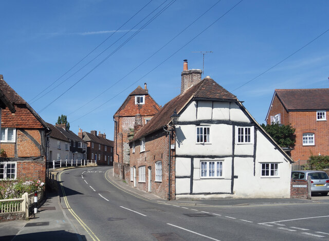
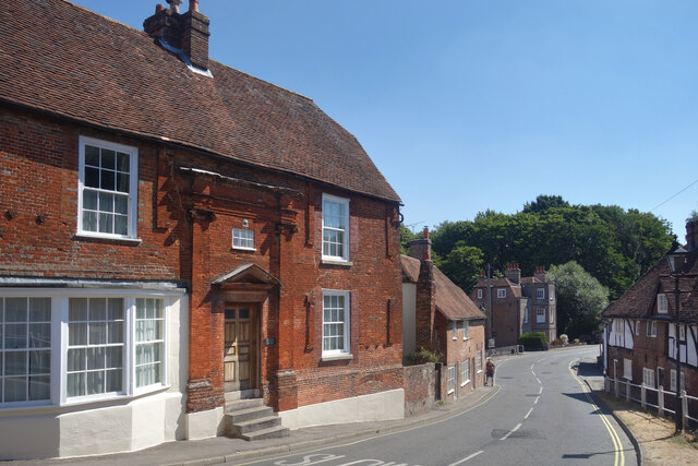
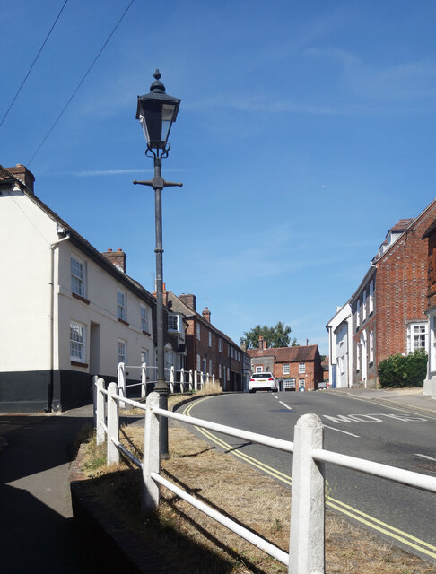
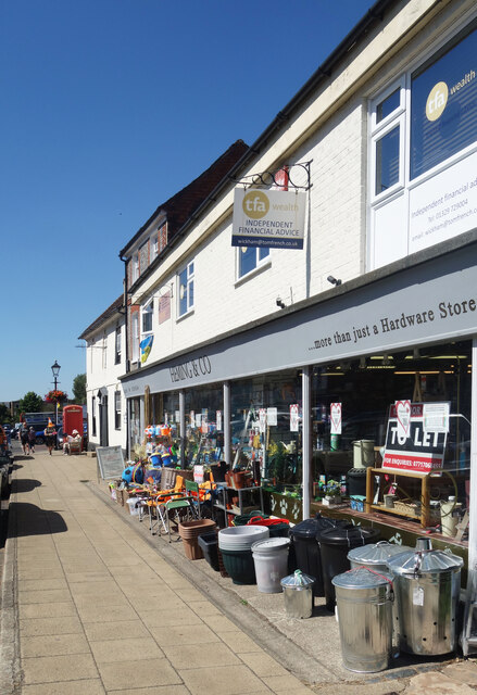
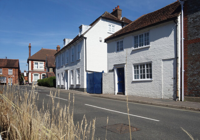
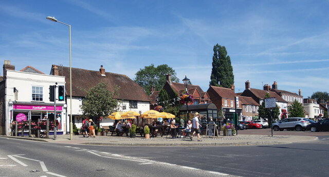
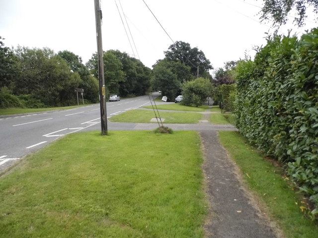
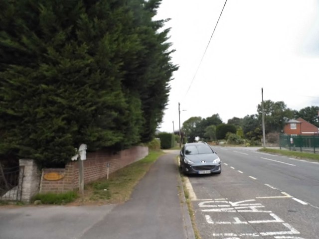
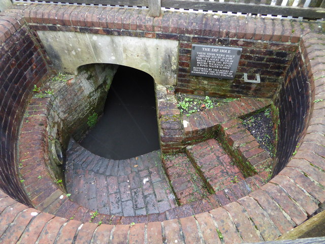
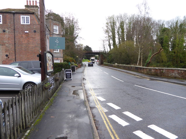
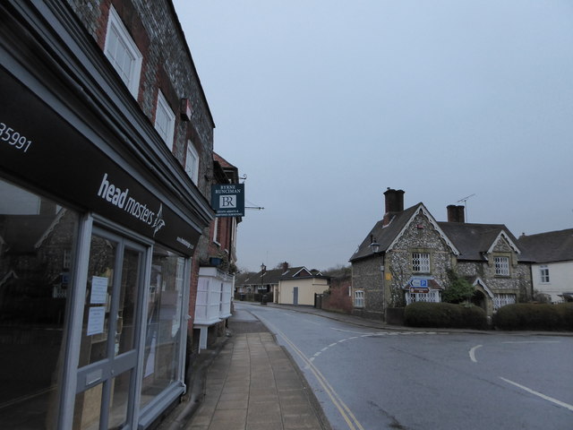
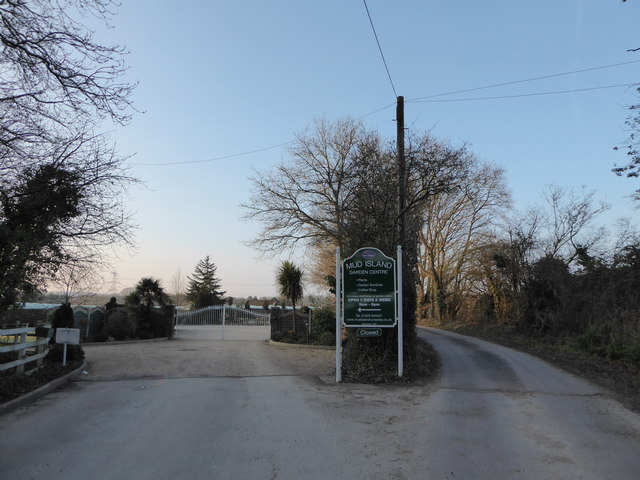
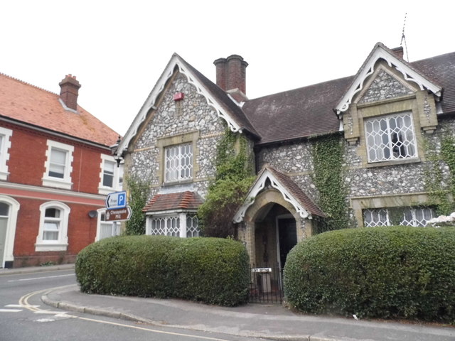
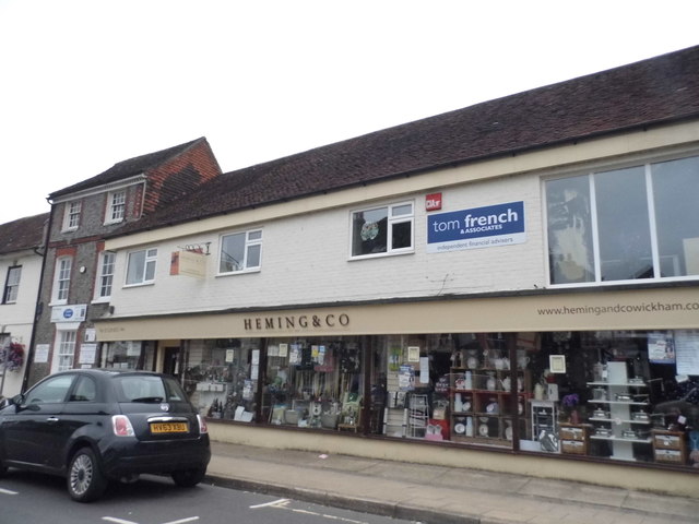
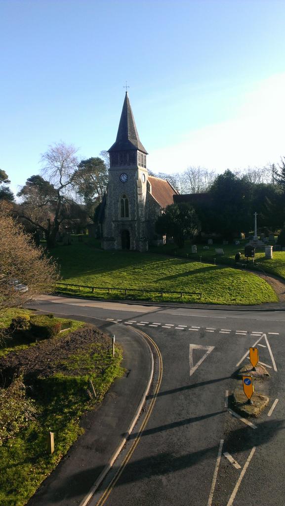
Fullimore's Copse Images
Images are sourced within 2km of 50.89382/-1.171184 or Grid Reference SU5810. Thanks to Geograph Open Source API. All images are credited.
Fullimore's Copse is located at Grid Ref: SU5810 (Lat: 50.89382, Lng: -1.171184)
Administrative County: Hampshire
District: Winchester
Police Authority: Hampshire
What 3 Words
///orbit.prompting.upsetting. Near Wickham, Hampshire
Nearby Locations
Related Wikis
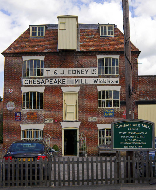
Chesapeake Mill
The Chesapeake Mill is a watermill in Wickham, Hampshire, England. The flour mill was constructed in 1820 using the timbers of HMS Chesapeake, which had...

Wickham railway station (Hampshire)
Wickham (Hants) railway station served the village of Wickham in Hampshire, England. It was on the Meon Valley line of the London and South Western Railway...
Wickham, Hampshire
Wickham () is a large village in the civil parish of Wickham and Knowle, in the Winchester district, in the county of Hampshire, England. It is about 3...

Crockerhill, Hampshire
Crockerhill is a hamlet in south Hampshire, England. The population at the 2011 Census was included in the Borough of Fareham == References == The geographic...
Boarhunt
Boarhunt () is a village and civil parish in the City of Winchester district of Hampshire, England, about 2 miles (3 kilometres) north-east of Fareham...
North Boarhunt
North Boarhunt is a village in the City of Winchester district of Hampshire, England. It is in the civil parish of Boarhunt. Its nearest town is Fareham...
Welborne, Hampshire
Welborne is a proposed new town to the north of Fareham, England, intended to include 6,000 houses with businesses and community facilities. A plan for...

Knowle, Hampshire
Knowle is a village with mainly 21st century shops and businesses in the civil parish of Wickham and Knowle, in the Winchester district of Hampshire, England...
Nearby Amenities
Located within 500m of 50.89382,-1.171184Have you been to Fullimore's Copse?
Leave your review of Fullimore's Copse below (or comments, questions and feedback).