Bainton Copse
Wood, Forest in Oxfordshire Cherwell
England
Bainton Copse

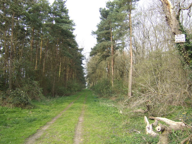
Bainton Copse is a picturesque wood located in Oxfordshire, England. Spanning over an area of approximately 50 hectares, this forested area is known for its tranquil atmosphere and diverse range of flora and fauna.
The copse is situated in the heart of the Oxfordshire countryside, surrounded by rolling hills and farmland. It is easily accessible via a network of footpaths and is a popular destination for nature lovers, walkers, and birdwatchers.
Bainton Copse is primarily comprised of native broadleaf trees such as oak, beech, and birch, which create a dense canopy overhead. The forest floor is adorned with a vibrant carpet of wildflowers, including bluebells, primroses, and wood anemones, which bloom in the spring months.
The copse is home to a variety of wildlife, making it a haven for nature enthusiasts. Visitors may spot a range of bird species, such as woodpeckers, owls, and thrushes. Deer can also be occasionally seen roaming through the woods, alongside smaller mammals like foxes, rabbits, and squirrels.
Throughout the year, Bainton Copse hosts several events and activities, including guided walks, educational programs, and conservation initiatives. These initiatives aim to raise awareness about the importance of preserving this natural habitat and its biodiversity.
In summary, Bainton Copse in Oxfordshire is a beautiful woodland area, offering a peaceful retreat from the hustle and bustle of city life. With its stunning scenery, abundant wildlife, and a range of activities, it is a must-visit destination for nature enthusiasts and those seeking a connection with the natural world.
If you have any feedback on the listing, please let us know in the comments section below.
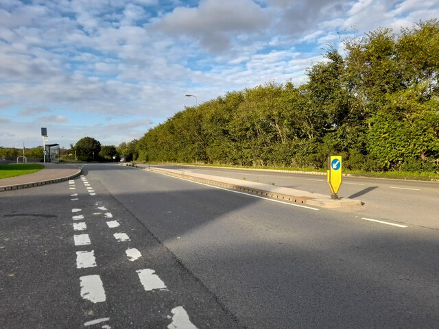
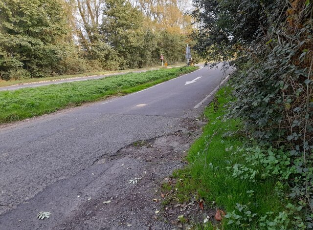
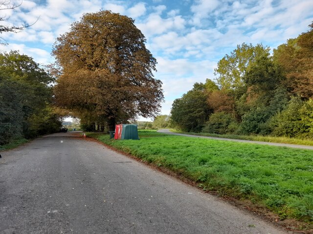
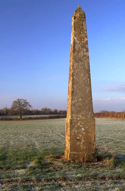
Bainton Copse Images
Images are sourced within 2km of 51.931583/-1.1522383 or Grid Reference SP5826. Thanks to Geograph Open Source API. All images are credited.


Bainton Copse is located at Grid Ref: SP5826 (Lat: 51.931583, Lng: -1.1522383)
Administrative County: Oxfordshire
District: Cherwell
Police Authority: Thames Valley
What 3 Words
///above.fists.enjoys. Near Bicester, Oxfordshire
Nearby Locations
Related Wikis

Bainton, Oxfordshire
Bainton is a hamlet comprising a cluster of farms in the civil parish of Stoke Lyne, about 3 miles (5 km) north of the centre of Bicester. == History... ==
Caversfield
Caversfield is a village and civil parish about 1+1⁄2 miles (2.4 km) north of the centre of Bicester. In 1844 Caversfield became part of Oxfordshire, but...
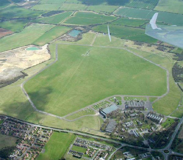
Bicester Airfield
Bicester Aerodrome, formerly RAF Bicester, is a private airfield on the outskirts of the English town of Bicester in Oxfordshire. Dating back to 1916,...
Bucknell, Oxfordshire
Bucknell is a village and civil parish 2+1⁄2 miles (4 km) northwest of Bicester in Oxfordshire, England. The 2011 Census recorded the parish's population...

Stratton Audley
Stratton Audley is a village and civil parish about 2.5 miles (4 km) northeast of Bicester in Oxfordshire, England. == Manor == The Domesday Book of 1086...

Bure Park
Bure Park is a 8.4-hectare (21-acre) Local Nature Reserve in Bicester in Oxfordshire. It is owned by Bicester Town Council and managed by Cherwell District...

Stoke Lyne
Stoke Lyne is a village and civil parish about 4 miles (6.4 km) north of Bicester, Oxfordshire in southern England. == Etymology == The name Stoke Lyne...

Cooper School, Bicester
The Cooper School is a co-educational secondary school and sixth form with academy status, located in the northern side of Bicester, Oxfordshire. ��2...
Nearby Amenities
Located within 500m of 51.931583,-1.1522383Have you been to Bainton Copse?
Leave your review of Bainton Copse below (or comments, questions and feedback).