Bainton
Settlement in Oxfordshire Cherwell
England
Bainton

Bainton is a quaint village located in the county of Oxfordshire, England, known for its picturesque countryside and rich historical heritage. Situated about 8 miles southwest of the city of Oxford, Bainton is a small yet vibrant community with a population of around 500 residents.
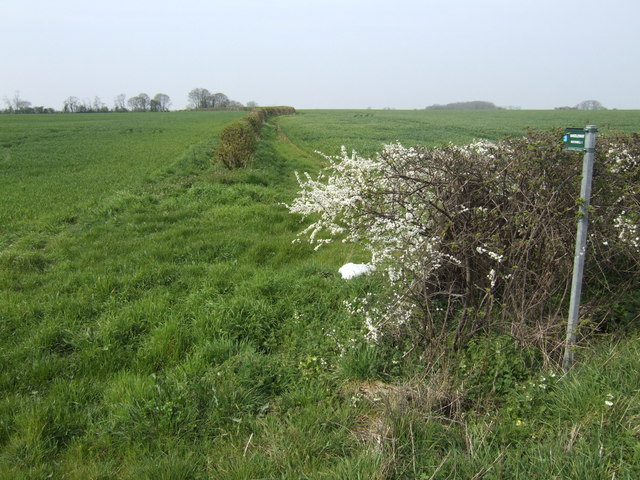
The village is characterized by its charming thatched-roof cottages, traditional stone buildings, and well-maintained gardens, which give it a timeless and idyllic feel. Bainton is surrounded by rolling green fields and meadows, offering breathtaking views of the Oxfordshire countryside. The village is nestled between the larger towns of Abingdon and Witney, providing easy access to a wider range of amenities and services.
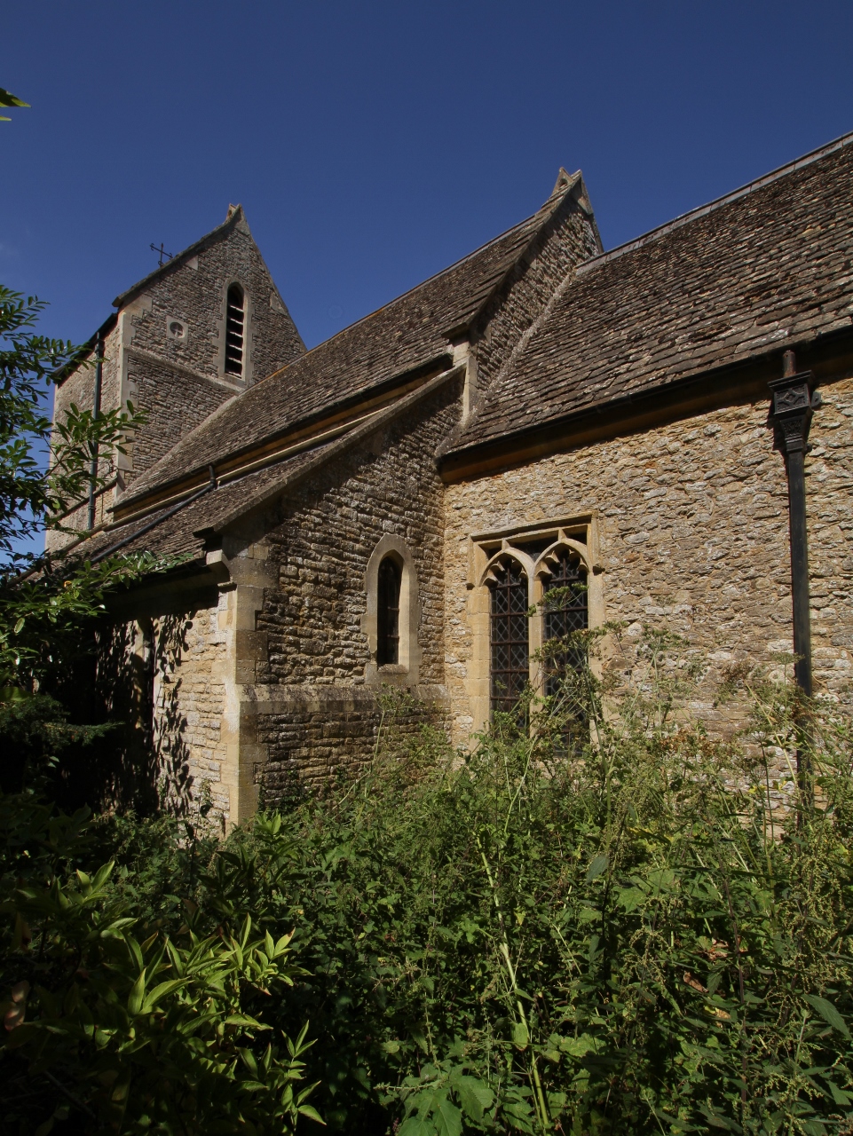
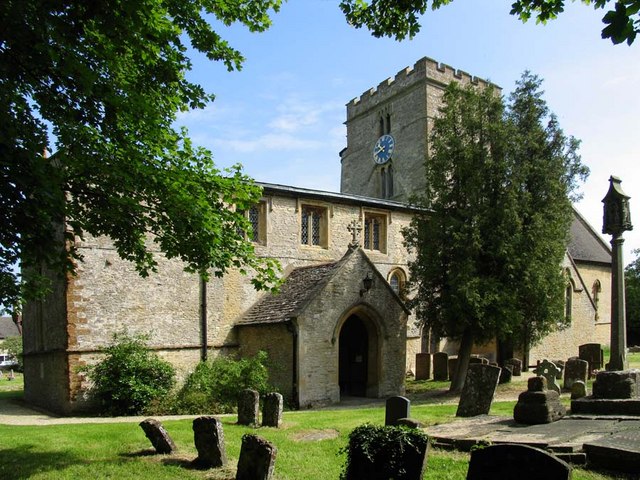
Bainton boasts a fascinating history that can be traced back to the Domesday Book of 1086, where it was recorded as "Bainton Manor." The village features a number of historic landmarks, including St. Mary's Church, a beautiful medieval parish church dating back to the 12th century. The church's architecture showcases a mix of Norman and Gothic styles and is known for its intricate stained glass windows.
Despite its small size, Bainton has a close-knit community with various community events and activities organized throughout the year. The village pub, The Bainton Arms, serves as a social hub where locals and visitors can enjoy a pint of ale and traditional English pub food.
Bainton offers a peaceful and tranquil setting, making it an ideal place for those seeking a retreat from the hustle and bustle of city life. With its natural beauty, historical charm, and warm community spirit, Bainton truly encapsulates the essence of rural Oxfordshire.
If you have any feedback on the listing, please let us know in the comments section below.
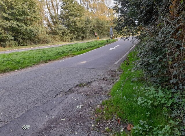
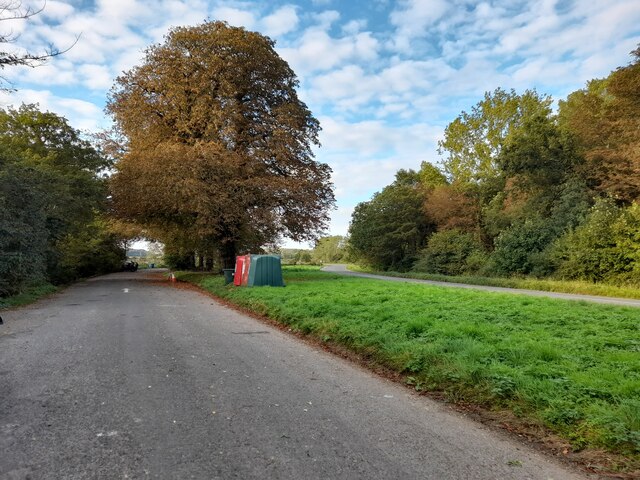
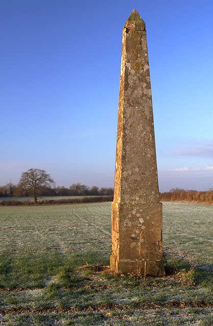
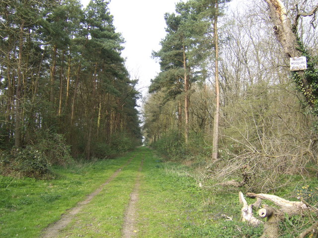
Bainton Images
Images are sourced within 2km of 51.938343/-1.155541 or Grid Reference SP5826. Thanks to Geograph Open Source API. All images are credited.


Bainton is located at Grid Ref: SP5826 (Lat: 51.938343, Lng: -1.155541)
Administrative County: Oxfordshire
District: Cherwell
Police Authority: Thames Valley
What 3 Words
///feuds.dreams.placidly. Near Bicester, Oxfordshire
Nearby Locations
Related Wikis

Bainton, Oxfordshire
Bainton is a hamlet comprising a cluster of farms in the civil parish of Stoke Lyne, about 3 miles (5 km) north of the centre of Bicester. == History... ==
Caversfield
Caversfield is a village and civil parish about 1+1⁄2 miles (2.4 km) north of the centre of Bicester. In 1844 Caversfield became part of Oxfordshire, but...

Stoke Lyne
Stoke Lyne is a village and civil parish about 4 miles (6.4 km) north of Bicester, Oxfordshire in southern England. == Etymology == The name Stoke Lyne...
Bucknell, Oxfordshire
Bucknell is a village and civil parish 2+1⁄2 miles (4 km) northwest of Bicester in Oxfordshire, England. The 2011 Census recorded the parish's population...

Hardwick, Cherwell
Hardwick is a village in the civil parish of Hardwick with Tusmore about 4.5 miles (7 km) north of Bicester in Oxfordshire. == Manor == The village's toponym...

Hethe
Hethe is a village and civil parish about 4.5 miles (7.2 km) north of Bicester in Oxfordshire, England. == Manor == The village's toponym comes from the...

Fringford
Fringford is a village and civil parish in Oxfordshire, about 4 miles (6.4 km) northeast of Bicester. The parish is bounded to the east by the Roman road...

Stratton Audley
Stratton Audley is a village and civil parish about 2.5 miles (4 km) northeast of Bicester in Oxfordshire, England. == Manor == The Domesday Book of 1086...
Related Videos


FIXING A FORD MODEL Y (or trying to...)
The moment of truth...what happened to the Austin Seven? First though, we're lending a hand to try and get the StarterMotor Ford ...

The BEST Vegan Food! | Vegan Camp Out '23 🌱 #short
Our round-up of Vegan Camp Out 2023 #short @vegancampout This was our first time at VCO and honestly we had such a ...
Project D - Vegan Doughnut Vendor at Vegan Camp Out 2023, Bicester Heritage, Oxfordshire
Project D - Vegan Doughnut Vendor at Vegan Camp 2023, Bicester Heritage, Oxfordshire I had a Vegan Birthday Cake Doughnut ...
Nearby Amenities
Located within 500m of 51.938343,-1.155541Have you been to Bainton?
Leave your review of Bainton below (or comments, questions and feedback).