Bainton
Settlement in Yorkshire
England
Bainton
Bainton is a small village located in the East Riding of Yorkshire, England. Situated approximately five miles north of the market town of Driffield, it is nestled in the picturesque Yorkshire Wolds. With a population of around 400 residents, Bainton is known for its tranquil and idyllic setting.
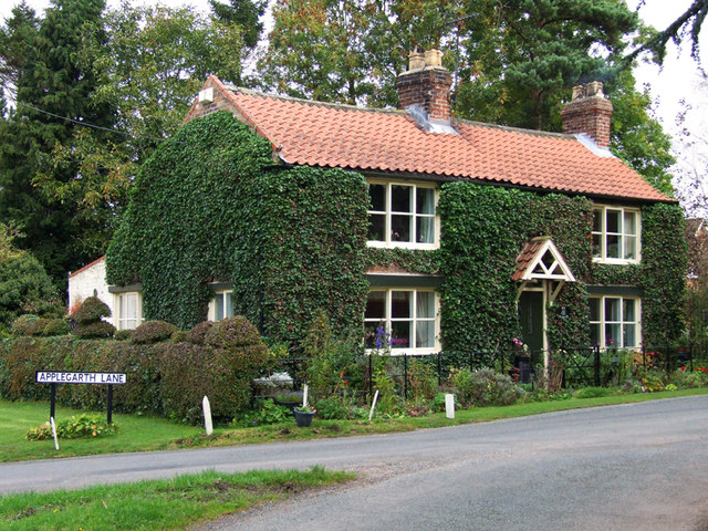
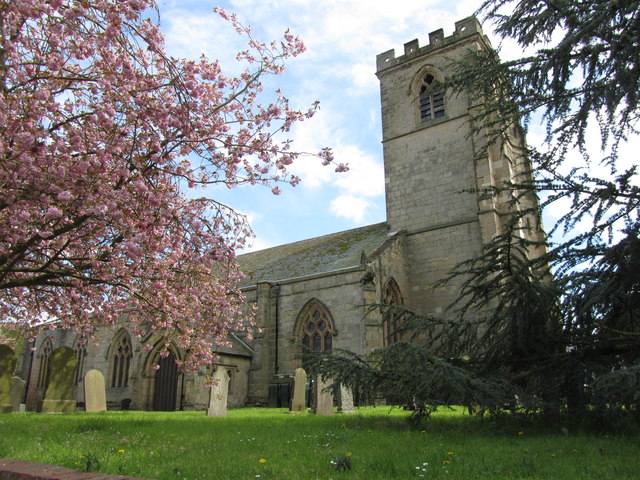
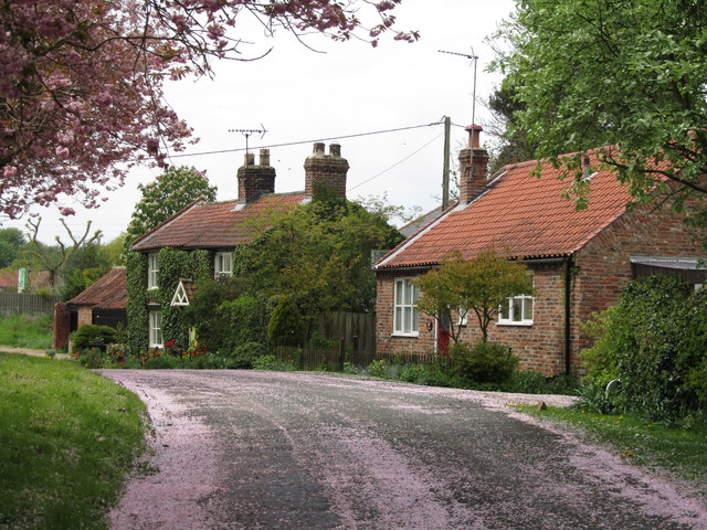
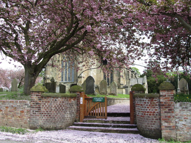
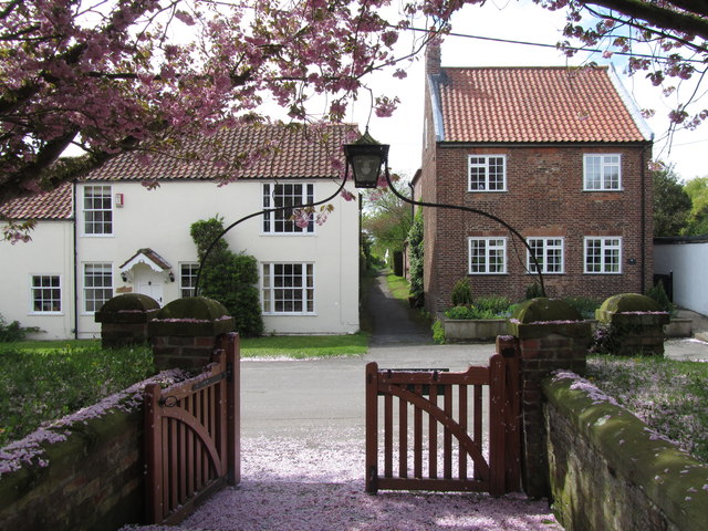
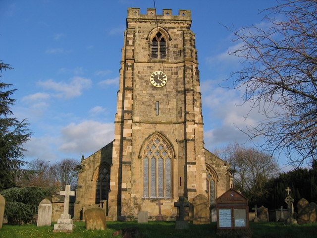
The village is home to a charming array of traditional stone-built houses, many of which date back to the 17th and 18th centuries, adding to its historical appeal. The centerpiece of Bainton is the All Saints Church, a Grade II listed building that stands proudly in the heart of the village. This beautiful church showcases stunning architecture and holds regular services for the local community.
Bainton benefits from a close-knit community spirit, with various social activities and events organized by local clubs and organizations. The village also offers amenities such as a primary school, a village hall, and a pub, which serves as a popular gathering spot for locals and visitors alike.
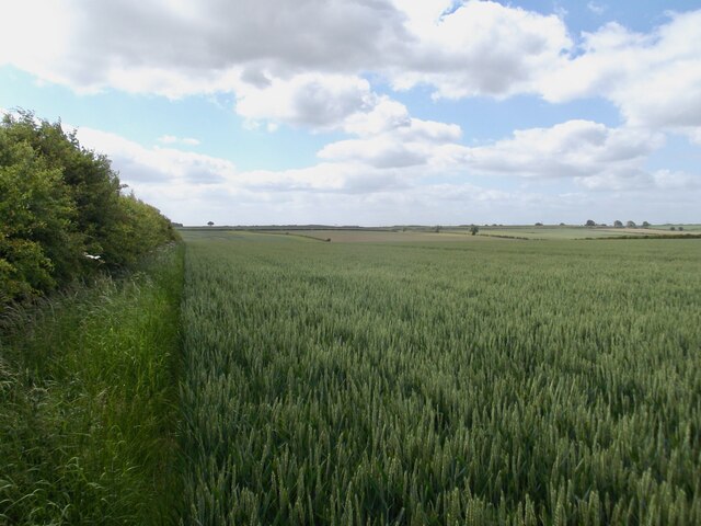
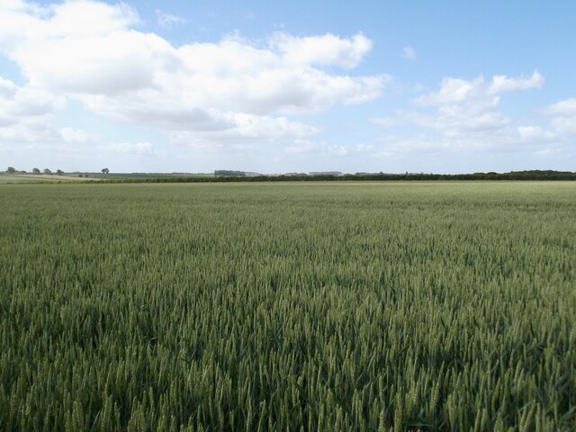
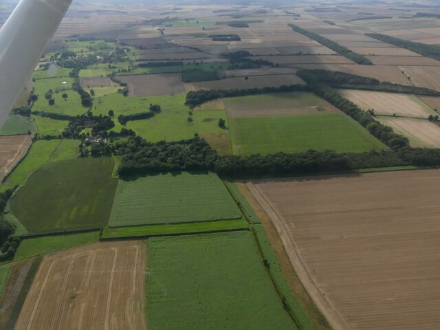
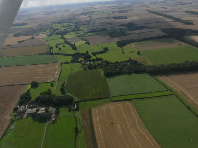
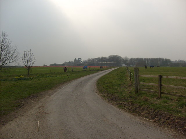
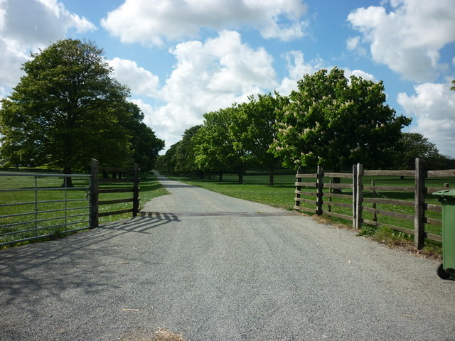
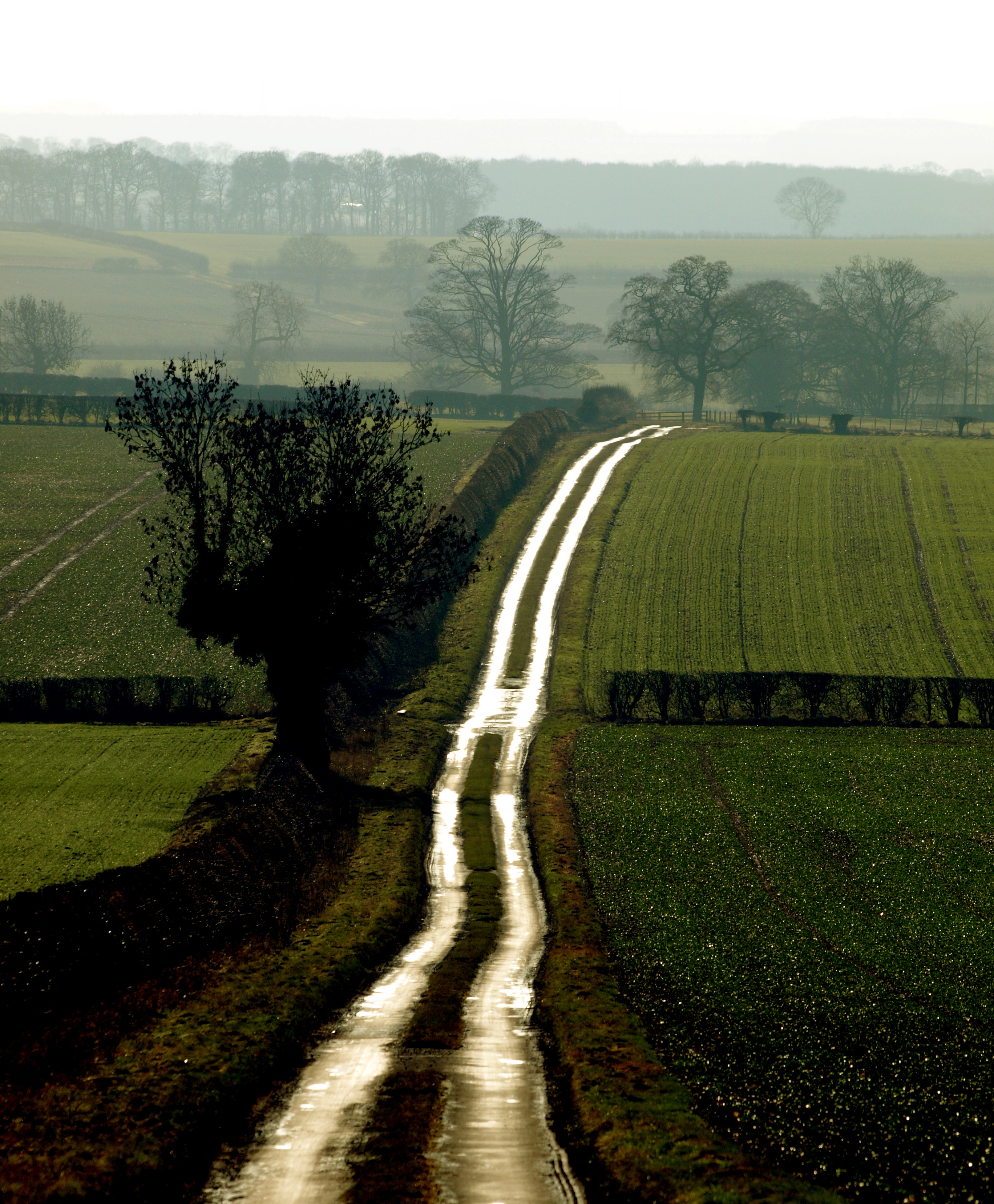
Beyond its charming village center, Bainton is surrounded by breathtaking countryside, providing opportunities for walking, cycling, and exploring the great outdoors. The Yorkshire Wolds Way, a popular long-distance footpath, passes near the village, offering stunning views of the rolling hills and expansive fields for outdoor enthusiasts.
Overall, Bainton offers a peaceful and picturesque setting, making it an attractive destination for those seeking a rural retreat or a tranquil base to explore the beauty of the Yorkshire countryside.
If you have any feedback on the listing, please let us know in the comments section below.
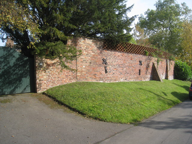
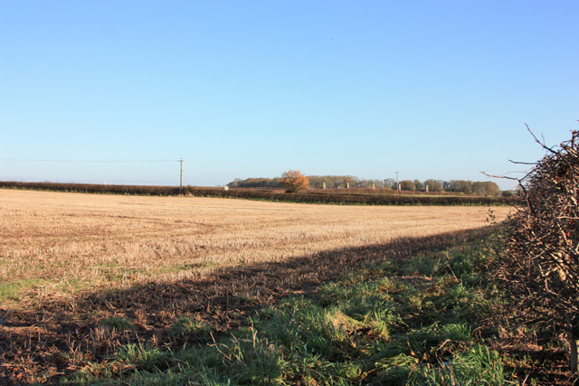
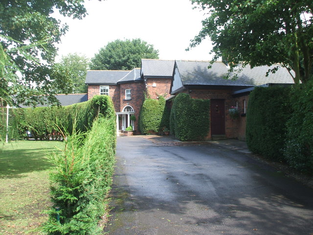
Bainton Images
Images are sourced within 2km of 53.956168/-0.53212258 or Grid Reference SE9652. Thanks to Geograph Open Source API. All images are credited.


Bainton is located at Grid Ref: SE9652 (Lat: 53.956168, Lng: -0.53212258)
Division: East Riding
Unitary Authority: East Riding of Yorkshire
Police Authority: Humberside
What 3 Words
///skewed.bill.registers. Near Bainton, East Yorkshire
Related Wikis
Bainton, East Riding of Yorkshire
Bainton is a village and civil parish in the East Riding of Yorkshire, England. It is situated approximately 6 miles (10 km) south-west of Driffield on...
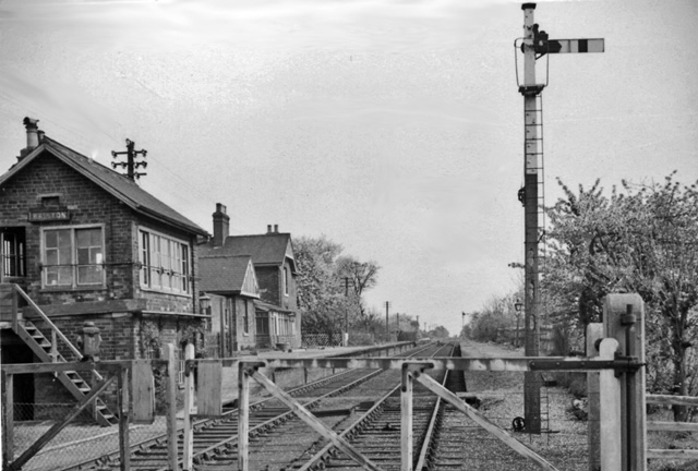
Bainton railway station
Bainton railway station was a station on the Selby to Driffield Line. It opened on 1 May 1890 and served the village of Bainton. It closed on 20 September...
Bracken on the Wolds
Bracken on the Wolds (or Bracken) is a manor and hamlet in the East Riding of Yorkshire, England. It is situated in the Yorkshire Wolds approximately 1...
North Dalton
North Dalton is a village and civil parish in the East Riding of Yorkshire, England. It is situated approximately 6 miles (10 km) south-west of the town...
Nearby Amenities
Located within 500m of 53.956168,-0.53212258Have you been to Bainton?
Leave your review of Bainton below (or comments, questions and feedback).