Bainton
Settlement in Northamptonshire
England
Bainton

Bainton is a small village located in the county of Northamptonshire, England. Situated approximately 6 miles northeast of the town of Oundle, Bainton is a peaceful and picturesque rural settlement. The village is surrounded by rolling farmland and offers stunning views of the Northamptonshire countryside.
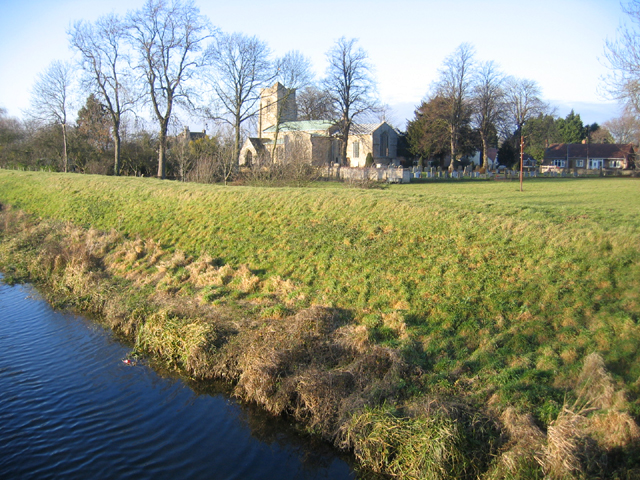
Historically, Bainton has been a predominantly agricultural community, with farming playing a significant role in its economy. The village is known for its charming thatched cottages and traditional stone houses, which add to its idyllic atmosphere. Bainton also boasts a beautiful parish church, St. Mary's, which dates back to the 12th century. The church is well-preserved and features notable architectural details, including a medieval tower and stunning stained glass windows.
Despite its small size, Bainton offers a range of amenities for its residents. The village has a local pub, The Willow Tree, which serves as a social hub and offers a selection of drinks and pub food. Bainton also has a community-run village hall, hosting various events and activities throughout the year.
For those seeking outdoor activities, Bainton is surrounded by picturesque walking trails and scenic spots, making it an ideal destination for nature lovers. The village is also conveniently located near Rutland Water, a popular reservoir and nature reserve, providing opportunities for boating, fishing, and birdwatching.
Overall, Bainton offers a tranquil and picturesque retreat, perfect for those looking to escape the hustle and bustle of city life and enjoy the beauty of the English countryside.
If you have any feedback on the listing, please let us know in the comments section below.
Bainton Images
Images are sourced within 2km of 52.641201/-0.38274039 or Grid Reference TF0906. Thanks to Geograph Open Source API. All images are credited.


Bainton is located at Grid Ref: TF0906 (Lat: 52.641201, Lng: -0.38274039)
Division: Soke of Peterborough
Unitary Authority: Peterborough
Police Authority: Cambridgeshire
What 3 Words
///dusts.scribbled.stunning. Near Ufford, Cambridgeshire
Related Wikis

Bainton, Cambridgeshire
Bainton is a village and civil parish in the Peterborough unitary authority area of Cambridgeshire, England. Bainton is on the southern edge of the Welland...

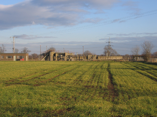
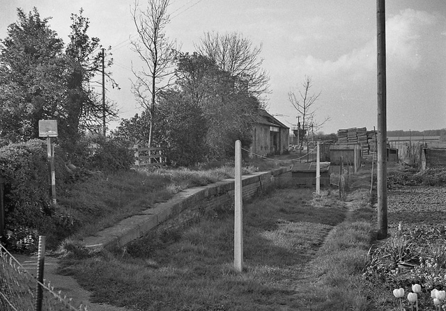
Bainton Gate railway station
Bainton Gate railway station was a short lived railway "station" in the Soke of Peterborough (now in Cambridgeshire) on the Syston and Peterborough Railway...
Barnack railway station
Barnack railway station was a station in the Soke of Peterborough (now Cambridgeshire) serving the village of Barnack. Despite being located adjacent to...

Ashton, Cambridgeshire
Ashton is a hamlet and former civil parish, now in the parish of Bainton, in the Peterborough district, in the ceremonial county of Cambridgeshire, England...
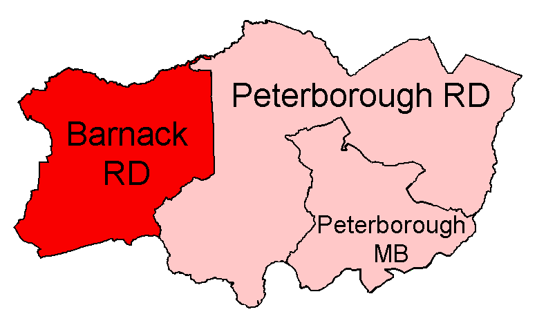
Barnack Rural District
Barnack was a rural district in the Soke of Peterborough and later Huntingdon and Peterborough from 1894 to 1974. It was created in 1894 under the Local...
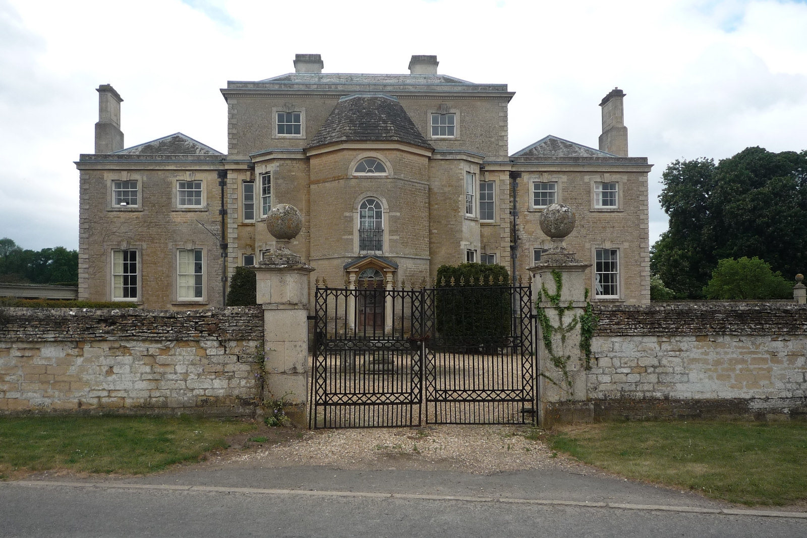
Ufford Hall, Cambridgeshire
Ufford Hall is a Georgian country house in the village of Ufford, now in the Peterborough unitary authority area of the ceremonial county of Cambridgeshire...

Barnack
Barnack is a village and civil parish in the Peterborough unitary authority of the ceremonial county of Cambridgeshire, England and the historic county...
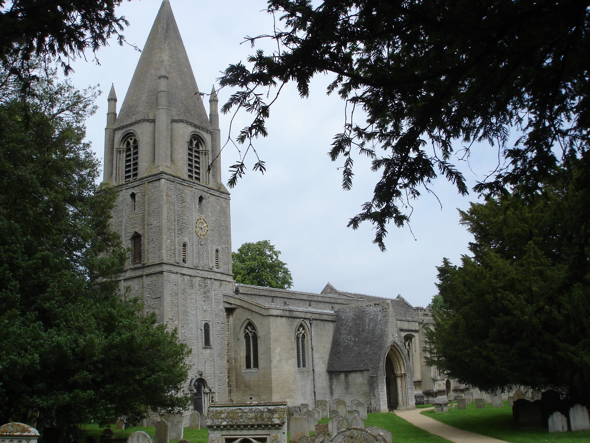
St John the Baptist's Church, Barnack
The Church of St John the Baptist, Barnack is a Church of England parish church in the village of Barnack, now in the City of Peterborough unitary authority...
Nearby Amenities
Located within 500m of 52.641201,-0.38274039Have you been to Bainton?
Leave your review of Bainton below (or comments, questions and feedback).