Baintown

Settlement in Fife

Scotland

Baintown

Hill Road, Kennoway
Hill Road, Kennoway Credit: James Allan

Baintown is a small village located in the eastern part of Fife, Scotland. Situated approximately 5 miles northwest of the town of Cupar, Baintown is nestled amidst the picturesque countryside of the region. The village is home to a close-knit community and offers a tranquil and idyllic setting for its residents.

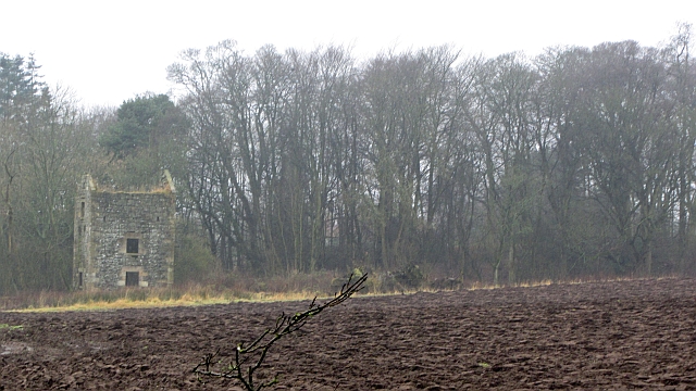
The village of Baintown is known for its rich history, dating back to medieval times. It is believed to have been founded in the 12th century, with evidence of early settlements and archaeological discoveries in the area. The village has retained much of its historic charm, with several well-preserved buildings and landmarks.

One of the notable attractions in Baintown is the Baintown Church, a beautiful stone structure that dates back to the 17th century. The church serves as a focal point for the community and holds regular services and events.

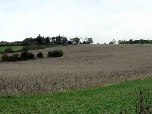
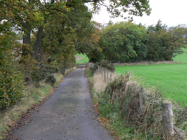
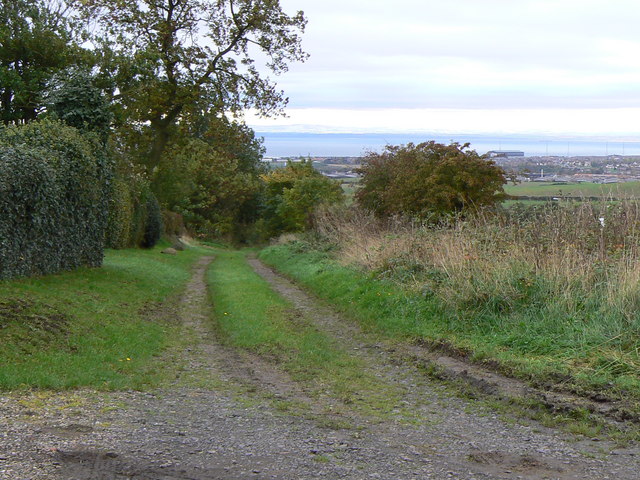
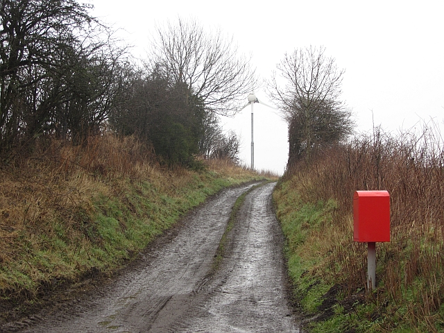
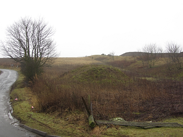
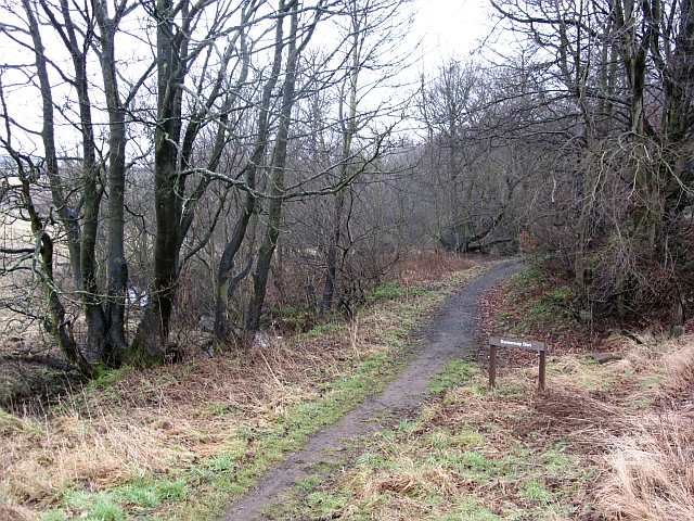
The surrounding countryside offers plenty of opportunities for outdoor activities and exploration. Baintown is surrounded by rolling hills and farmland, providing stunning views and peaceful walking trails. The area is also known for its diverse wildlife, making it a popular spot for nature enthusiasts and birdwatchers.

Although Baintown is a small village, it is conveniently located near larger towns and cities. The nearby town of Cupar offers a range of amenities, including shops, schools, and recreational facilities. Baintown benefits from good transportation links, with easy access to major roads and public transportation.

In summary, Baintown is a charming village in Fife, Scotland, with a rich history and a welcoming community. Its beautiful countryside, historic landmarks, and convenient location make it an appealing place to live or visit.

If you have any feedback on the listing, please let us know in the comments section below.
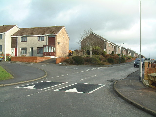
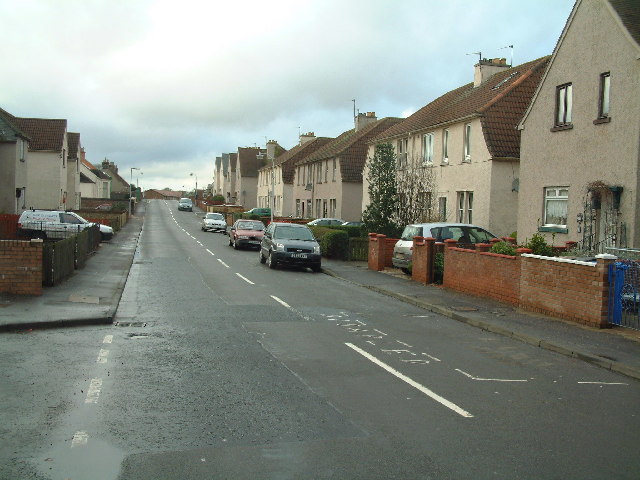
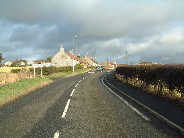
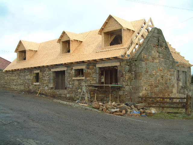
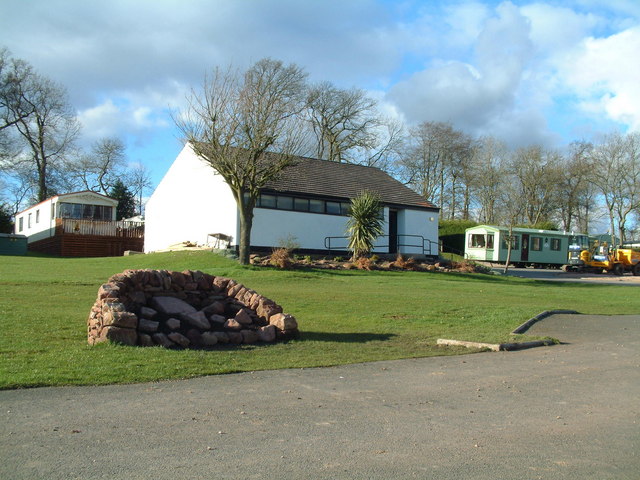
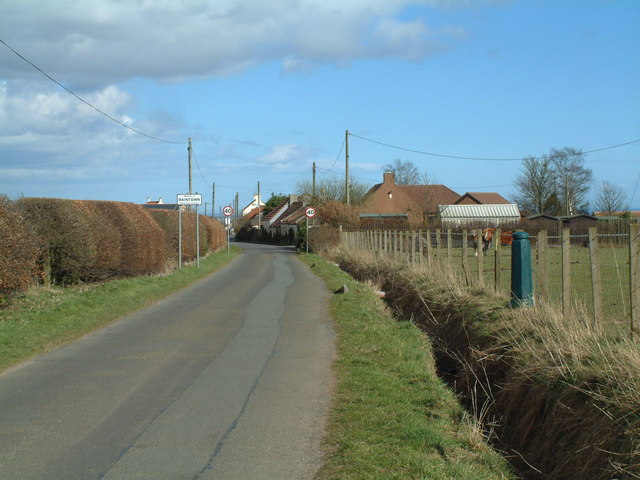
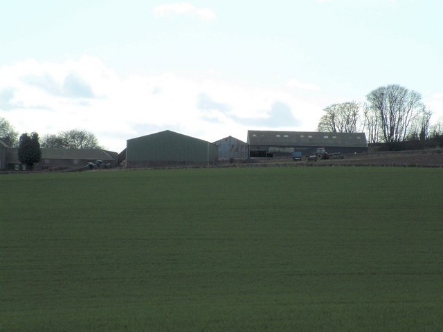
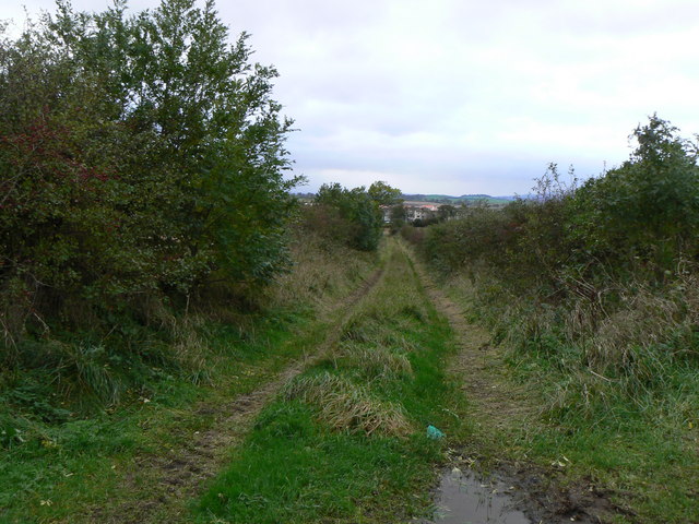
Baintown Images

Images are sourced within 2km of 56.221164/-3.041822 or Grid Reference NO3503. Thanks to Geograph Open Source API. All images are credited.

Hill Road, Kennoway
Hill Road, Kennoway
Leven Road, Kennoway
Bonnybank Road into village from Kennoway
Bonnybank
Road into village from Kennoway
New roof on old walls Refurbishment of old farm buildings at West Durie to turn them into residential properties
New roof on old walls
Refurbishment of old farm buildings at West Durie to turn them into residential properties
Langside Hill Quarried hill above Kennoway. View northward.
Langside Hill
Quarried hill above Kennoway. View northward.
Lalathan Farm drive. The whin slopes on the left were wooded on the 1940s map. View E.
Lalathan
Farm drive. The whin slopes on the left were wooded on the 1940s map. View E.
Letham Feus Holiday Camp A caravan site north-east of Bennybank
Letham Feus Holiday Camp
A caravan site north-east of Bennybank
Coming into Baintown Entrance to a hamlet on a back road north of Kennoway
Coming into Baintown
Entrance to a hamlet on a back road north of Kennoway
Kilmux Farm Viewed from the north-east
Kilmux Farm
Viewed from the north-east
Drummaird track Track linking Drummaird farm and Bonnybank village.
Drummaird track
Track linking Drummaird farm and Bonnybank village.
Balgriebank Aptly-named White Cottage (centre) and Balgriebank Farm to the left on the horizon.
Balgriebank
Aptly-named White Cottage (centre) and Balgriebank Farm to the left on the horizon.
Towards St Brendan's Well Road leading from Toddy Bridge to Whalleyden and St Brendan's Well
Towards St Brendan's Well
Road leading from Toddy Bridge to Whalleyden and St Brendan's Well
Track to Meggie Den Track leading from Drummaird Farm to Meggie Den. In Fife, small wooded valleys are frequently known as Dens. In the background, Levenmouth area and the Firth of Forth.
Track to Meggie Den
Track leading from Drummaird Farm to Meggie Den. In Fife, small wooded valleys are frequently known as Dens. In the background, Levenmouth area and the Firth of Forth.
Wild Poppy Wild poppy growing on old railway track.
Wild Poppy
Wild poppy growing on old railway track.
Mine building, Sheelyn A ruined tower, marked as a mine by the Ordnance Survey and on a coalfield.
Mine building, Sheelyn
A ruined tower, marked as a mine by the Ordnance Survey and on a coalfield.
Road to Balgriebank Signposted path to Porter's Brae via Balgriebank. There is a small wind turbine on a spur.
Road to Balgriebank
Signposted path to Porter's Brae via Balgriebank. There is a small wind turbine on a spur.
Langside Quarry Mounds outside the quarry on Langside Hill.
Langside Quarry
Mounds outside the quarry on Langside Hill.
Kennoway Den path The upstream end of the path which follows the Kennoway Burn down a dean.
Kennoway Den path
The upstream end of the path which follows the Kennoway Burn down a dean.
Show me another place!

Baintown is located at Grid Ref: NO3503 (Lat: 56.221164, Lng: -3.041822)

Unitary Authority: Fife

Police Authority: Fife

What 3 Words

///encroach.sanded.airstrip. Near Kennoway, Fife

Nearby Locations

Bonnybank Baintown

Related Wikis

Nearby Amenities

Located within 500m of 56.221164,-3.041822
Bonnybank
Place: hamlet
Lat/Long: 56.2197612/-3.0398631
Baintown
Place: hamlet
Lat/Long: 56.2213164/-3.0448067
Generator Method: photovoltaic
Generator Output Electricity: yes
Generator Source: solar
Generator Type: solar_photovoltaic_panel
Power: generator
Lat/Long: 56.218263/-3.0461082
Generator Method: photovoltaic
Generator Output Electricity: yes
Generator Source: solar
Generator Type: solar_photovoltaic_panel
Power: generator
Lat/Long: 56.2186218/-3.0413857
Power: pole
Lat/Long: 56.2229894/-3.0353614
Power: pole
Lat/Long: 56.2225526/-3.0362179
Power: pole
Lat/Long: 56.222161/-3.0370354
Power: pole
Lat/Long: 56.2213778/-3.0386635
Power: pole
Lat/Long: 56.2210492/-3.0393961
Location Transition: yes
Power: pole
Lat/Long: 56.2206939/-3.0401218
Power: pole
Lat/Long: 56.2203262/-3.0409148
Location Transition: yes
Power: pole
Lat/Long: 56.2199452/-3.0417217
Location Transition: yes
Power: pole
Lat/Long: 56.2199184/-3.0410603
Power: pole
Lat/Long: 56.2197639/-3.041685
Power: pole
Lat/Long: 56.2199833/-3.0430281
Location Transition: yes
Power: pole
Lat/Long: 56.2202418/-3.0443643
Power: transformer
Lat/Long: 56.2206979/-3.0401226
Power: transformer
Lat/Long: 56.2199257/-3.0410613
Post Box
Brand: Royal Mail
Brand Wikidata: Q638098
Brand Wikipedia: en:Royal Mail
Collection Times: Mo-Fr 09:00; Sa 07:00
Operator: Royal Mail
Operator Wikidata: Q638098
Post Box Type: lamp
Ref: KY8 205D
Royal Cypher: scottish_crown
Lat/Long: 56.217697/-3.0442507
Post Box
Brand: Royal Mail
Brand Wikidata: Q638098
Brand Wikipedia: en:Royal Mail
Collection Times: Mo-Fr 16:00; Sa 10:30
Operator: Royal Mail
Operator Wikidata: Q638098
Post Box Type: lamp
Ref: KY8 210
Royal Cypher: scottish_crown
Lat/Long: 56.2194219/-3.0397877
Power: pole
Lat/Long: 56.2213291/-3.0337763
The data included in this document is from www.openstreetmap.org. The data is made available under ODbL.

Have you been to Baintown?

Leave your review of Baintown below (or comments, questions and feedback).