Bairnkine

Settlement in Roxburghshire

Scotland

Bairnkine

Track beside the Shaw Burn A track passes a somewhat overgrown looking pumping station building.
Track beside the Shaw Burn Credit: Richard Webb

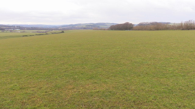
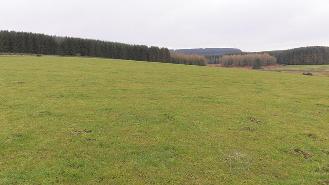
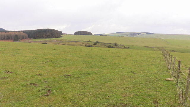
Bairnkine is a small village located in the county of Roxburghshire, in the Scottish Borders region of Scotland. Situated near the England-Scotland border, the village is nestled amidst picturesque countryside, offering breathtaking views of rolling hills and lush green landscapes.

With a population of around 100 residents, Bairnkine maintains a close-knit community atmosphere. The village is characterized by charming traditional stone houses, giving it a timeless appeal. The quaint and peaceful ambiance makes it an ideal location for those seeking a tranquil lifestyle away from the bustling cities.

Despite its small size, Bairnkine enjoys a convenient location with nearby access to amenities and services. The larger towns of Hawick and Jedburgh are within a short distance, providing residents with a wider range of facilities such as shops, schools, healthcare centers, and leisure activities.

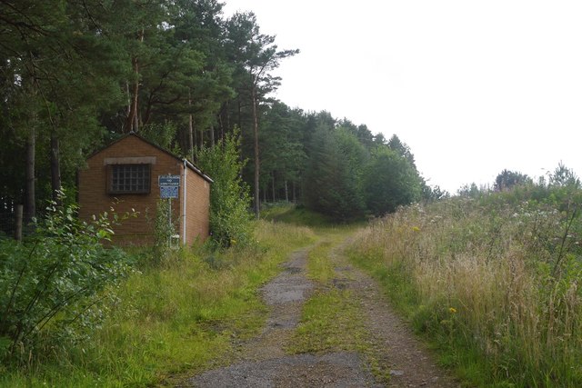
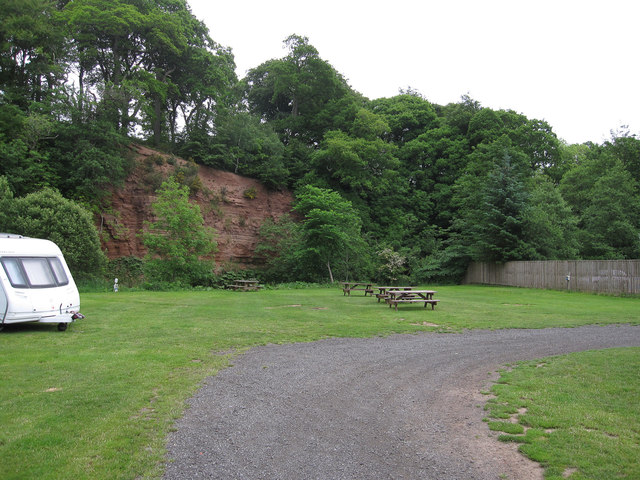
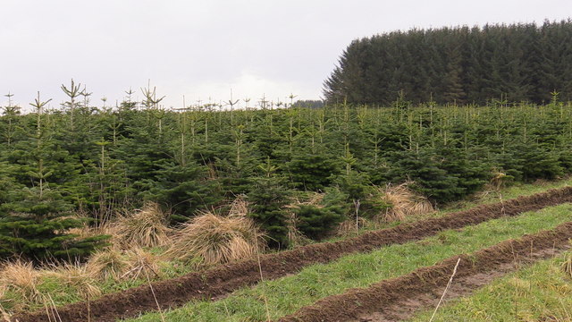
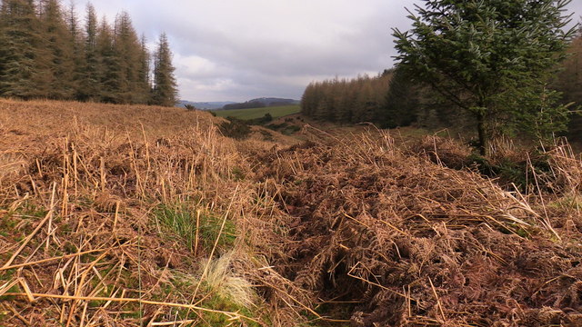
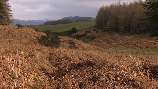
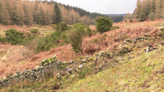
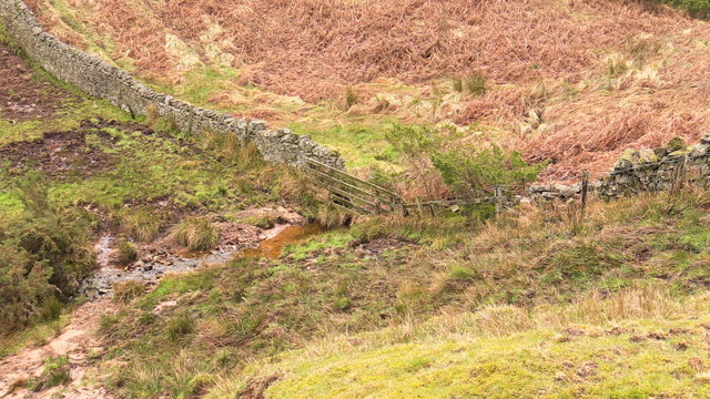
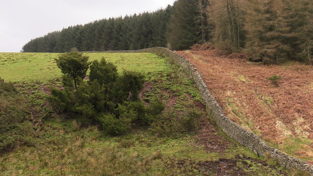
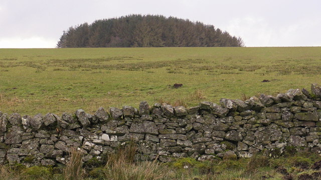
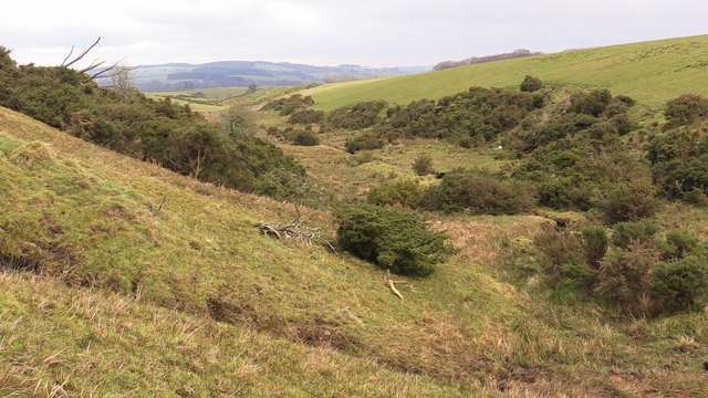
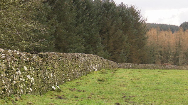
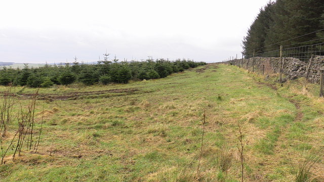
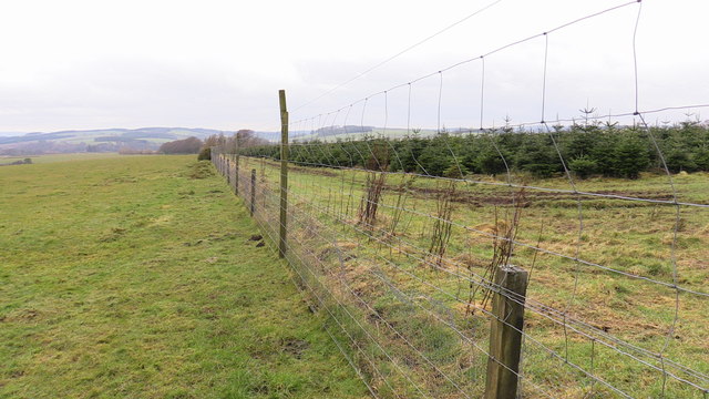
The area surrounding Bairnkine offers numerous opportunities for outdoor enthusiasts. The village is surrounded by beautiful countryside, perfect for hiking, cycling, and nature walks. The nearby River Teviot provides opportunities for fishing, while the rolling hills are often frequented by wildlife enthusiasts and birdwatchers.

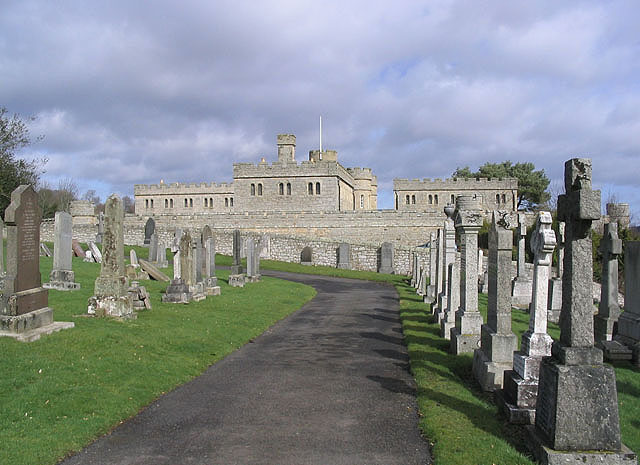
Bairnkine is steeped in history, with evidence of human settlement dating back centuries. The village is in close proximity to several historical sites, including ancient castles and ruins, adding to the region's cultural significance.

In summary, Bairnkine is a tranquil village with stunning natural beauty, a tight-knit community, and a rich historical background. It offers residents the best of rural living, with easy access to nearby amenities and a plethora of outdoor activities to explore.

If you have any feedback on the listing, please let us know in the comments section below.
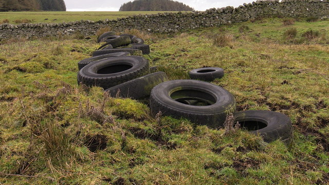
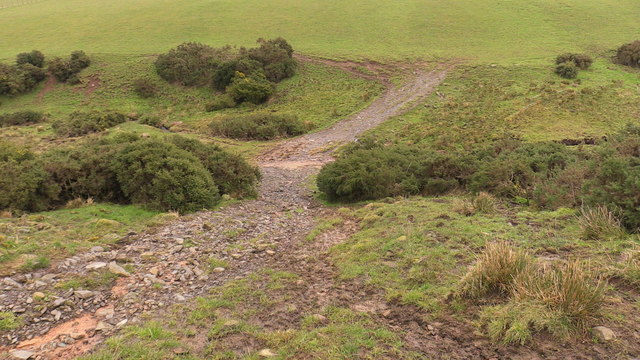
Bairnkine Images

Images are sourced within 2km of 55.42764/-2.5545805 or Grid Reference NT6515. Thanks to Geograph Open Source API. All images are credited.

Track beside the Shaw Burn A track passes a somewhat overgrown looking pumping station building.
Track beside the Shaw Burn
A track passes a somewhat overgrown looking pumping station building.
River cliff by Jed Water From Jed Water Caravan Park.
River cliff by Jed Water
From Jed Water Caravan Park.
Forest 'plantation' 7 years on near Mervinslaw, Jedburgh I think it was a nursery plantation perhaps now producing a crop of Xmas trees in the season. Many farms in the surrounding area have similar strips of very closely planted seedlings which makes sense when there is, I presume, so much demand locally for re-planting material. However these specimens are well past the transplanting stage.Perhaps a planning error or maybe I've got it all wrong!
Forest 'plantation' 7 years on near Mervinslaw, Jedburgh
I think it was a nursery plantation perhaps now producing a crop of Xmas trees in the season. Many farms in the surrounding area have similar strips of very closely planted seedlings which makes sense when there is, I presume, so much demand locally for re-planting material. However these specimens are well past the transplanting stage.Perhaps a planning error or maybe I've got it all wrong!
Forest clearing in Belling Hill plantation near Jedburgh Although heavily ridged for planting it has been left free of trees along the length of the Appletree Burn. A little scouting reveals a faint path along the tree line which minimizes the hindrance of these ridges. As Spring comes on this will be harder to spot in the bracken.
Forest clearing in Belling Hill plantation near Jedburgh
Although heavily ridged for planting it has been left free of trees along the length of the Appletree Burn. A little scouting reveals a faint path along the tree line which minimizes the hindrance of these ridges. As Spring comes on this will be harder to spot in the bracken.
View from a clearing in Belling Hill plantation near Mervinslaw, Jedburgh
Looking up the course of Appletree Burn near Mervinslaw, Jedburgh A gin drinker's dream - a vigorous stand of juniper! Happily not the usual jungle of gorse as it appeared from a distance!
Looking up the course of Appletree Burn near Mervinslaw, Jedburgh
A gin drinker's dream - a vigorous stand of juniper! Happily not the usual jungle of gorse as it appeared from a distance!
Drystane dyke crossing Appletree Burn near Mervinslaw, Jedburgh Note the, for this size of stream, huge amount of silting - a legacy of late 2015 and the constant wet weather.
Drystane dyke crossing Appletree Burn near Mervinslaw, Jedburgh
Note the, for this size of stream, huge amount of silting - a legacy of late 2015 and the constant wet weather.
Juniper, proudly vigorous on Mervinslaw near Jedburgh
Shelter plantation west of Appletree Burn on Mervinslaw near Jedburgh
The course of Appletree Burn on Mervinslaw near Jedburgh
Attempted bridging of boggy courses by Appletree Burn on Mervinslaw
Stony track crossing Appletree Burn on Mervinslaw
Broad open ridge with prime grazing above Mervinslaw, Jedburgh
Grazing and forestry on Mervinslaw near Jedburgh The forest is bounded by a drystane dyke beyond which was likely open hill so it's not as if trees claimed grazing land.
Grazing and forestry on Mervinslaw near Jedburgh
The forest is bounded by a drystane dyke beyond which was likely open hill so it's not as if trees claimed grazing land.
Drystane dyke bounding forestry on Mervinslaw near Jedburgh
Looking back seven years on Mervinslaw woodland
Anti-deer measures on Mervinslaw
View across Appletree Burn on Mervinslaw near Jedburgh
Show me another place!

Bairnkine is located at Grid Ref: NT6515 (Lat: 55.42764, Lng: -2.5545805)

Unitary Authority: The Scottish Borders

Police Authority: The Lothians and Scottish Borders

What 3 Words

///crockery.edge.nickname. Near Jedburgh, Scottish Borders

Related Wikis

Nearby Amenities

Located within 500m of 55.42764,-2.5545805
Noexit: yes
Lat/Long: 55.4280731/-2.5478798
Power: pole
Lat/Long: 55.426297/-2.5485674
Power: pole
Lat/Long: 55.4259726/-2.5479366
Power: pole
Lat/Long: 55.4259156/-2.5474319
Power: pole
Lat/Long: 55.4264665/-2.547195
Power: pole
Lat/Long: 55.4289636/-2.5471409
Power: pole
Lat/Long: 55.429868/-2.548019
Power: pole
Lat/Long: 55.4307593/-2.5488842
Power: pole
Lat/Long: 55.4256694/-2.5477962
Power: pole
Lat/Long: 55.4252427/-2.5481464
Power: pole
Lat/Long: 55.4249052/-2.5484632
Power: pole
Lat/Long: 55.4247547/-2.5487799
Power: pole
Lat/Long: 55.4244317/-2.5494004
Power: pole
Lat/Long: 55.424138/-2.5499747
Power: pole
Lat/Long: 55.4237815/-2.5506982
The data included in this document is from www.openstreetmap.org. The data is made available under ODbL.

Have you been to Bairnkine?

Leave your review of Bairnkine below (or comments, questions and feedback).