Willowford Burn Plantation

Wood, Forest in Roxburghshire

Scotland

Willowford Burn Plantation

Track beside the Shaw Burn A track passes a somewhat overgrown looking pumping station building.
Track beside the Shaw Burn Credit: Richard Webb

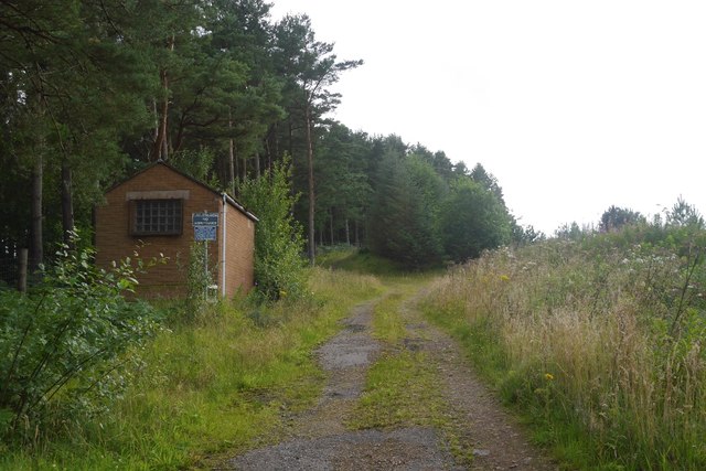
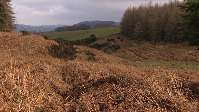
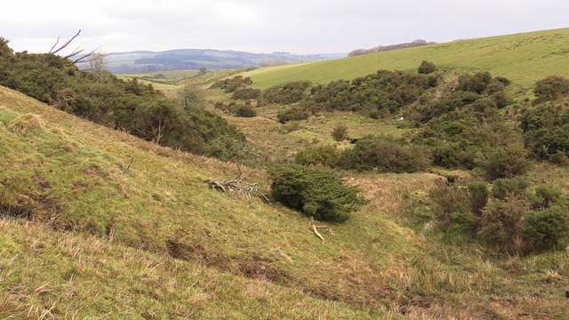
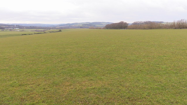
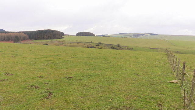
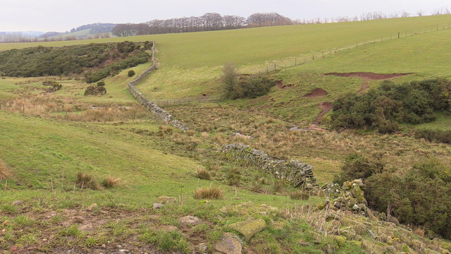
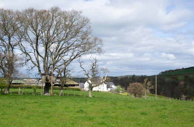
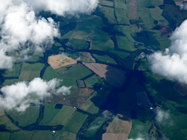
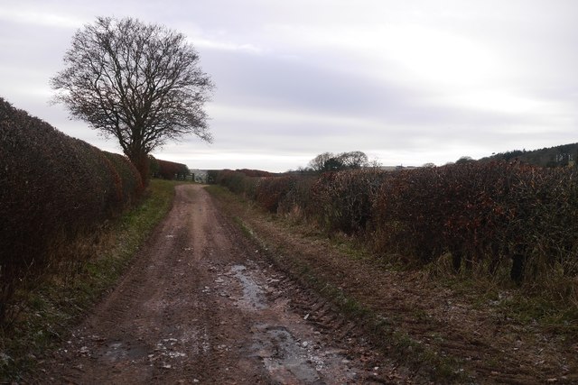
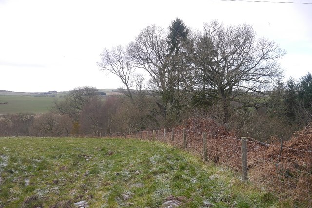
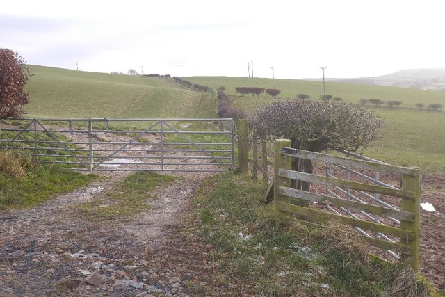
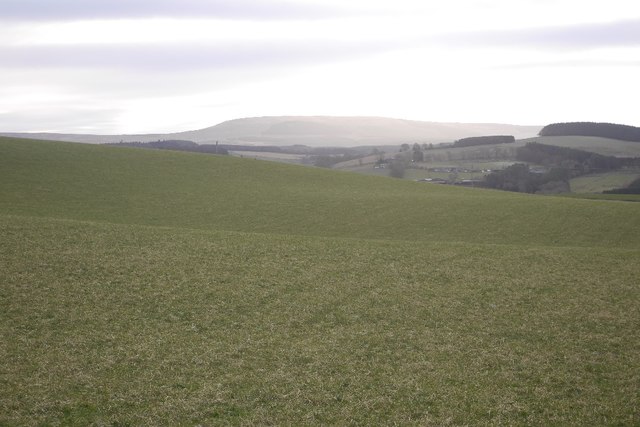
Willowford Burn Plantation is a charming woodland located in Roxburghshire, Scotland. This sprawling plantation covers an area of approximately 200 hectares and is known for its lush greenery and tranquil surroundings. Situated near the Willowford Burn River, the plantation offers a picturesque landscape that attracts nature enthusiasts and outdoor lovers.

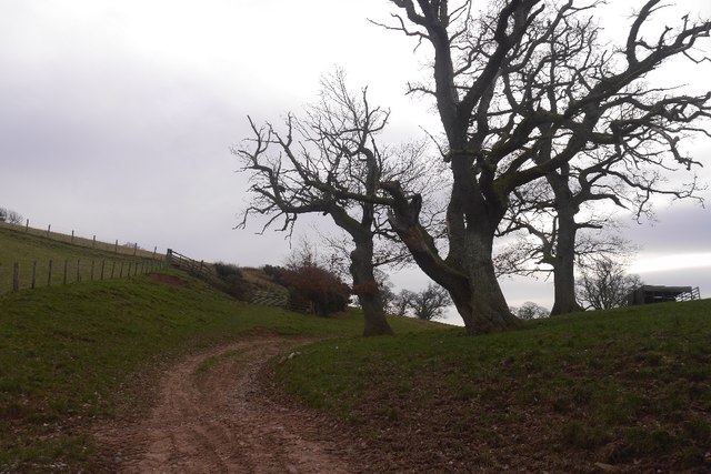
The plantation is primarily composed of a mixture of deciduous and coniferous trees, including oak, beech, pine, and spruce. These trees provide a diverse habitat for various wildlife species, making Willowford Burn Plantation a haven for birdwatchers and wildlife photographers. Visitors may spot common bird species such as woodpeckers, owls, and thrushes, as well as mammals like deer, foxes, and squirrels.

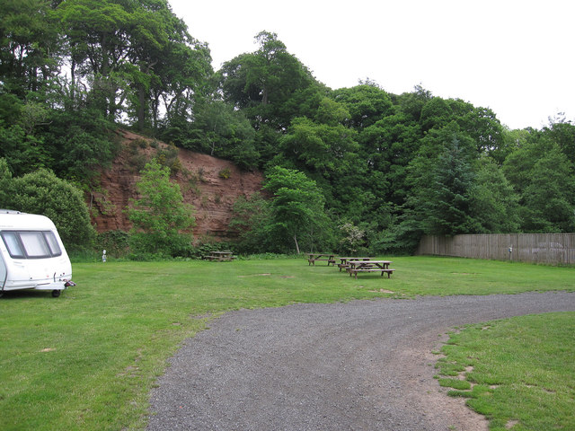
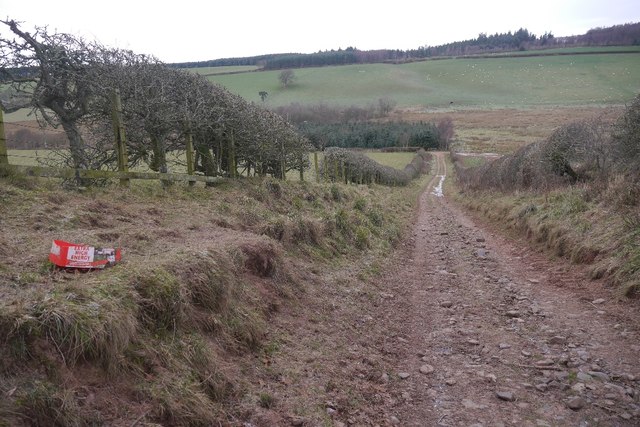
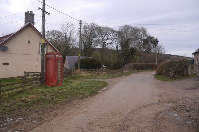
The woodland also features well-maintained trails and paths, allowing visitors to explore the plantation at their own pace. These paths offer stunning views of the surrounding countryside and allow for peaceful walks, hikes, or bike rides. The plantation is open to the public year-round, and its accessibility makes it a popular destination for both locals and tourists.

Willowford Burn Plantation is not only a natural retreat but also holds historical significance. The plantation was once part of an estate owned by the local landowners and has been carefully preserved over the years. Its rich history and natural beauty make Willowford Burn Plantation a must-visit destination for anyone seeking a serene escape in the heart of Roxburghshire.

If you have any feedback on the listing, please let us know in the comments section below.

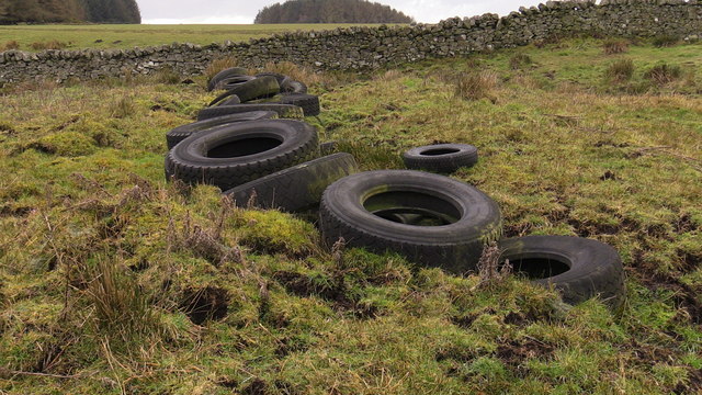
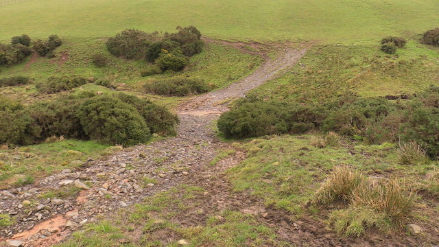
Willowford Burn Plantation Images

Images are sourced within 2km of 55.432899/-2.5440029 or Grid Reference NT6515. Thanks to Geograph Open Source API. All images are credited.

Track beside the Shaw Burn A track passes a somewhat overgrown looking pumping station building.
Track beside the Shaw Burn
A track passes a somewhat overgrown looking pumping station building.
River cliff by Jed Water From Jed Water Caravan Park.
River cliff by Jed Water
From Jed Water Caravan Park.
View from a clearing in Belling Hill plantation near Mervinslaw, Jedburgh
The course of Appletree Burn on Mervinslaw near Jedburgh
Attempted bridging of boggy courses by Appletree Burn on Mervinslaw
Stony track crossing Appletree Burn on Mervinslaw
Broad open ridge with prime grazing above Mervinslaw, Jedburgh
View across Appletree Burn on Mervinslaw near Jedburgh
View across Appletree Burn on Mervinslaw near Jedburgh Anyone who has tried a hand at dyking will stand aghast at the human effort imprinted in this dumb photograph. Modern fencing also present in the photo is almost instantly installed by comparison.
View across Appletree Burn on Mervinslaw near Jedburgh
Anyone who has tried a hand at dyking will stand aghast at the human effort imprinted in this dumb photograph. Modern fencing also present in the photo is almost instantly installed by comparison.
Tree house near to Old Jeddart The tree house is close to the buildings at Old Jeddart which are seen in the distance.
Tree house near to Old Jeddart
The tree house is close to the buildings at Old Jeddart which are seen in the distance.
Bairnkine from the air Borders farmland with strip plantations of varying shapes and sizes.
Bairnkine from the air
Borders farmland with strip plantations of varying shapes and sizes.
Oxnam to Mossburnford road A steep section, used as a field access route.
Oxnam to Mossburnford road
A steep section, used as a field access route.
Oxnam to Mossburnford road Approaching Mossburnford on a farm road. Looks muddy, but today it was frozen solid.
Oxnam to Mossburnford road
Approaching Mossburnford on a farm road. Looks muddy, but today it was frozen solid.
Telephone box, Mossburnford
Farm track, Mossburnford It climbs up to a couple of fields on the edge of the Birkenside woods.
Farm track, Mossburnford
It climbs up to a couple of fields on the edge of the Birkenside woods.
Mossburnford Banks Partly wooded steep slope ahead, above the Jed Water.
Mossburnford Banks
Partly wooded steep slope ahead, above the Jed Water.
Fields above the Jed Water
Field above the Jed Water Looking over grass slopes towards Carter Fell on the Border.
Field above the Jed Water
Looking over grass slopes towards Carter Fell on the Border.
Show me another place!

Willowford Burn Plantation is located at Grid Ref: NT6515 (Lat: 55.432899, Lng: -2.5440029)

Unitary Authority: The Scottish Borders

Police Authority: The Lothians and Scottish Borders

What 3 Words

///flask.colder.risen. Near Jedburgh, Scottish Borders

Related Wikis

Bairnkine

Bairnkine is a hamlet on the Jed Water in the Scottish Borders area of Scotland, on the A68, south of Jedburgh. Other places nearby include Abbotrule,...

Ferniehirst Castle

Ferniehirst Castle (sometimes spelled Ferniehurst) is an L-shaped construction on the east bank of the Jed Water, about a mile and a half south of Jedburgh...

Camptown, Scottish Borders

Camptown is a small settlement on the A68, in the Scottish Borders area of Scotland, 5m (8 km) south of Jedburgh, and the same distance south to Carter...

Jedforest

Jedforest is an historic forest in the Scottish Borders, that has been heavily wooded in the past. It is close to Jed Water and the town of Jedburgh, from...

Capon Oak Tree

The Capon Oak Tree is one of the last surviving trees of the ancient Jedforest, close to Jed Water, a small river which has cut a course below soft sandstone...

Jedburgh Castle

Jedburgh Castle was a castle at Jedburgh in Scotland. It was fought over during the Wars of Scottish Independence, and was demolished by the Scots commanded...

Jedburgh Abbey

Jedburgh Abbey, a ruined Augustinian abbey which was founded in the 12th century, is situated in the town of Jedburgh, in the Scottish Borders 10 miles...

Jedburgh

Jedburgh (; Scottish Gaelic: Deadard; Scots: Jeddart or Jethart) is a town and former royal burgh in the Scottish Borders and the traditional county town...

Nearby Amenities

Located within 500m of 55.432899,-2.5440029
Bairnkine
Place: hamlet
Lat/Long: 55.4341841/-2.5507802
Willow Ford
Place: locality
Lat/Long: 55.432069/-2.5505803
Power: pole
Lat/Long: 55.4289636/-2.5471409
Power: pole
Lat/Long: 55.429868/-2.548019
Power: pole
Lat/Long: 55.4307593/-2.5488842
Power: pole
Lat/Long: 55.4315263/-2.5496515
Power: pole
Lat/Long: 55.4324365/-2.5505296
Power: pole
Lat/Long: 55.4332561/-2.5513227
Power: pole
Lat/Long: 55.4339062/-2.5509673
Power: pole
Lat/Long: 55.4344784/-2.5506625
Power: pole
Lat/Long: 55.4350954/-2.5503339
Power: pole
Lat/Long: 55.435763/-2.5499734
Power: pole
Lat/Long: 55.4341721/-2.5515055
Power: pole
Lat/Long: 55.4343883/-2.5509287
Power: pole
Lat/Long: 55.4346119/-2.5503287
The data included in this document is from www.openstreetmap.org. The data is made available under ODbL.

Have you been to Willowford Burn Plantation?

Leave your review of Willowford Burn Plantation below (or comments, questions and feedback).